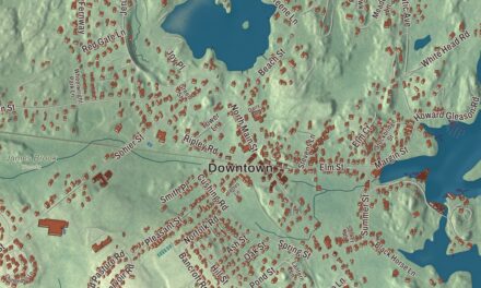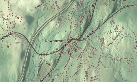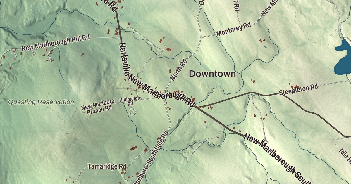
New Marlborough is a town of five villages. This map prints its main roads with their long names: Hartsville New Marlboro Road, New Marlboro Monterey Road, New Marlboro-Southfield Road, Sandisfield Road, New Marlboro Sandisfield Road and New Marlborough South Sandisfield Road. Lake Buel, East Indies Pond, the Questing Reservation and Cleveland Mountain are printed on it too. Click here to purchase a print of this map for your wall.
New Marlborough is in Berkshire County.
KNOWOL made this map in 2026 from public survey data and gave it the look of an old atlas. The peaks and valleys come from United States Geological Survey elevation data, and the roads and the town line come from the Census Bureau. New Marlborough lies in the lower Berkshires and covers 47.9 square miles, with 1,528 people at the 2020 census. Monterey is to the north, Sandisfield to the east, Norfolk and North Canaan, Connecticut to the south, Sheffield to the west and Great Barrington to the northwest. The Konkapot, Umpachene and Whiting rivers all run through town, and all feed into the Housatonic.
Seventy-two proprietors from Marlborough
New Marlborough was one of four townships opened along the road between Sheffield and Westfield. Seventy-two proprietors from Marlborough, Massachusetts and nearby bought the land from a band of Mohican people, and the General Court in Boston certified their deed in 1736. The Town of New Marlborough’s recorded history, in the Secretary of the Commonwealth’s list, dates European settlement to 1738. Most of the land was laid out in 60-acre lots, and settling went quickly through the 1740s. New Marlborough was incorporated as a town in 1775 and took the name of the proprietors’ home town. The town remains part of Berkshire County today. It grew with farms around the town center and mills along its rivers, and today it’s mostly rural, with little industry.
The Questing Reservation sits on the hill where the settlers built their first fort and where the Brookins twins, the first children of the new settlement who weren’t Native, were born, though the exact spot is no longer known. The Leffingwell family farmed there later and left in the Great Depression; their cellar holes and stone walls remain. The Trustees of Reservations acquired it through land gifts in 1992 and 1996, and its 438 acres of meadows, hay fields, vernal pools and streams are named for the Questing Beast of the Arthurian tales.
The mill villages
The town’s five villages are Clayton, Hartsville, Mill River, New Marlborough Village and Southfield. The Konkapot River drops 129 feet over a mile and a half at Mill River, and that fall drew dams and mills, remnants of eight of which survive. The Konkapot once powered mills in Monterey and several New Marlborough villages, among them grist and cider mills, a box factory and three major paper mills, and as many as 15 were built along one three-mile stretch, though they didn’t all run at once. The Mill River Historic District keeps the village’s Greek Revival houses, two Romanesque churches from the 1860s, the town hall, the library, the school and the general store. The town library is in Mill River, and Mill River and Southfield each have a post office.
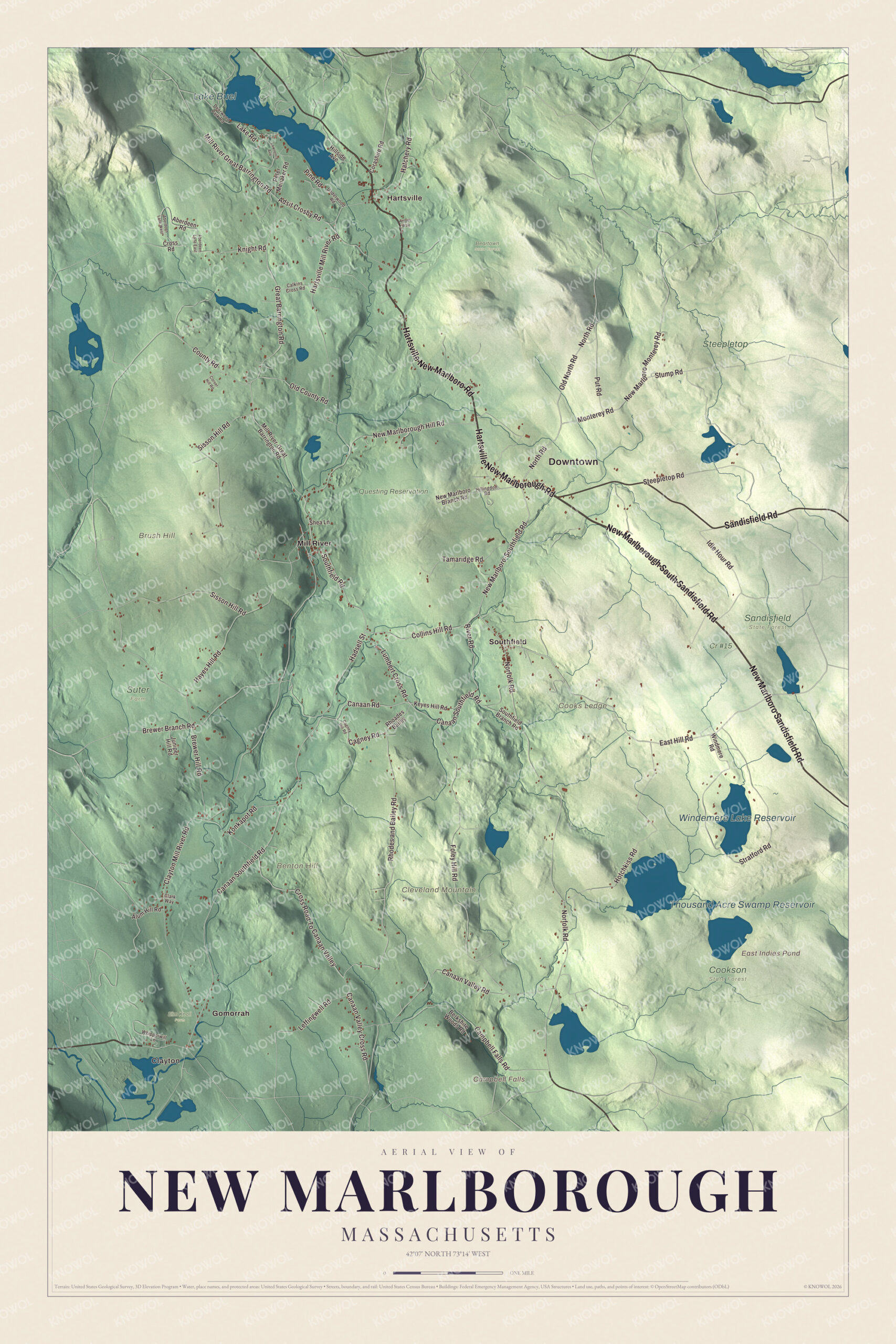
Click to explore a larger preview. The digital watermark does not appear on printed maps.
Names on this map
These names are printed on this map.
Places: Downtown, Clayton, Benton Hill, Brush Hill, Cleveland Mountain, Cooks Ledge, Campbell Falls, East Indies Pond, Lake Buel, Thousand Acre Swamp Reservoir, Windemere Lake Reservoir, Beartown State Forest, Cookson State Forest, Cr #15, Elm Knoll Farm, Questing Reservation, Sandisfield State Forest, Steepletop, Suter Farm, Gomorrah, Hartsville, Mill River and Southfield.
Streets and roads: Hartsville New Marlboro Road, New Marlborough South Sandisfield Road, New Marlboro Sandisfield Road, Hartsville New Marlborough Road, Sandisfield Road, New Marlboro Monterey Road, New Marlboro-Southfield Road, East Hill Road, Canaan Road, Cagney Road, Rhodes and Bailey Road, Canaan Southfield Road.
More street names, A to Z
Aberdeen Lane East, Aberdeen Lane West, Aberdeen Road, Adsit Crosby Road, Alum Hill Road, Arroyo Way, Berkshire Woods Road, Brewer Branch Road, Brewer Hill Road, Cagney Hill Road, Calkins Cross Road, Campbell Falls Road, Canaan Valley Cross Road, Canaan Valley Road, Clark Way, Clayton Mill River Road, Collins Hill Road, Corashire Road, Corser Hill Road, County Road, Cross Road, Cross Road To Canaan Valley, Deerwood Park Road, Foley Hill Road, Great Barrington Road, Hadsell Street, Hartsville Mill River Road, Hatchery Road, Hayes Hill Road, Hillingdon Road, Hillside Avenue, Hotchkiss Road, Idle Hour Road, Juniper Hill Road, Keyes Hill Road, Knight Road, Konkapot Road, Lake Road, Lawrence Avenue, Leffingwell Road, Lumbert Cross Road, Mill River-Great Barrington Road, Mill River Great Barrington Road, Monterey Road, New Marlboro Branch Road, New Marlborough Hill Road, Norfolk Road, North Road, Old County Road, Old North Road, Peter Menaker Road, Pine Road, Put Road, Rhoades Bailey, River Road, Shea Lane, Sisson Hill Road, Southfield Branch Road, Southfield Road, Steepletop Road, Stratford Road, Stump Road, Tamaridge Road, Underwood Road, Whipporwill Lane, Windmere Road.
See it on a wall
The New Marlborough map as a framed print. Swipe for more.


Around the map
Start with Clayton, then follow Hartsville New Marlboro Road, New Marlborough South Sandisfield Road, New Marlboro Sandisfield Road, Sandisfield Road, New Marlboro Monterey Road and New Marlboro-Southfield Road across town. Then look outward toward Gomorrah, Hartsville, Mill River and Southfield. East Indies Pond, Lake Buel, Thousand Acre Swamp Reservoir, Windemere Lake Reservoir, Questing Reservation, Benton Hill, Brush Hill, Cleveland Mountain and Campbell Falls are all labeled on the map, and every one of those names is printed directly on the artwork. Lake Buel, a 196-acre great pond, has its northern shore in Monterey and its southern shore in New Marlborough; it’s named for Samuel C. Buel of Tyringham, who saved people from drowning there in 1812, when it was still called Six Mile Pond. The Thousand Acre Swamp lies in the southeast corner of town along the edge of Campbell Falls State Park, named for the falls on the Whiting River.
The New Marlborough map makes a fine addition to an office, library or den, and it can help teach children the geography and history of a Berkshire town of mill villages. It’s made for people who call New Marlborough home, from Southfield to Clayton, and it shows the town as it looks today. Zoom in on the preview above to explore the details, then click here to get your copy of the New Marlborough, Massachusetts map.

Sources