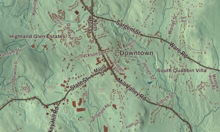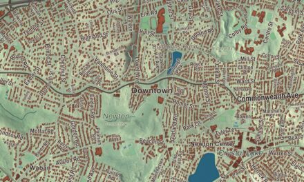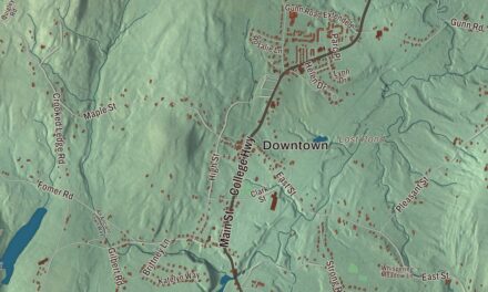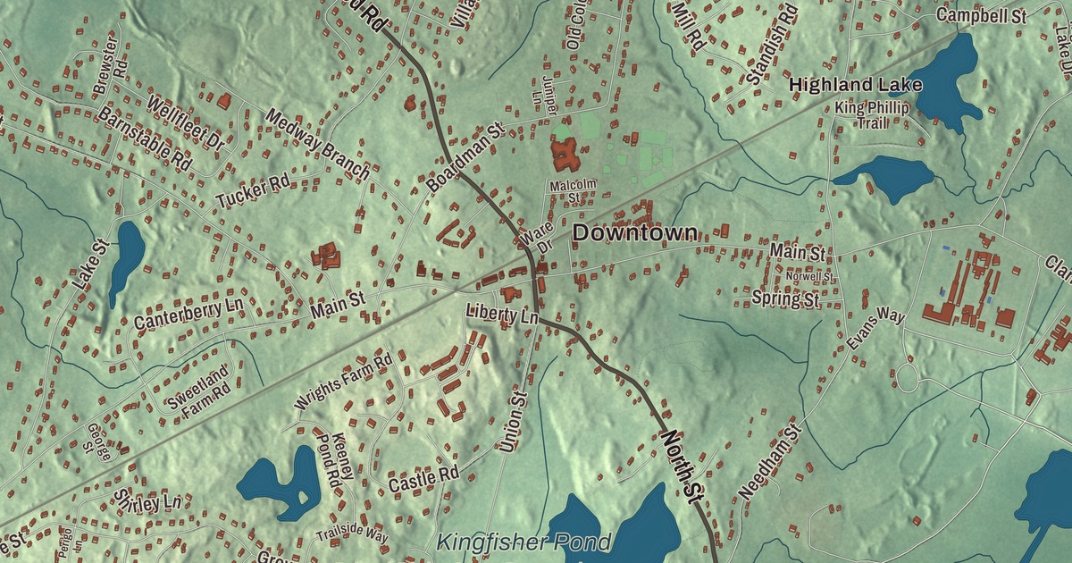
Norfolk was called North Wrentham until 1870. This map prints Rockwood Road, where the village’s railroad station opened, along with North Street, Pond Street, Pine Street, Dedham Street and Needham Street, and the water of Highland Lake, Mirror Lake, Bristols Pond and Populatic Pond. Click here to purchase a print of this map for your wall.
Norfolk is in Norfolk County.
KNOWOL made this map in 2026 from public survey data and gave it the look of an old atlas. The land comes from United States Geological Survey elevation data, and the streets and the town line come from the Census Bureau. Norfolk lies in an upper valley of the Charles River on the edge of metropolitan Boston. It covers 15.2 square miles and had 11,662 people at the 2020 census. Locals say the name “NOR-fork.”
North Wrentham
The land was first part of Dedham, and a half dozen small farms were started here after 1669, far out on the colonial frontier. Wrentham split from Dedham in 1673, with what is now Norfolk as its northern part. The farms were abandoned during King Philip’s War and settled again later in the century. Small villages grew up around sawmills and gristmills: City Mills in 1680, Mann Pond, now Highland Lake, after 1691, and Pondville after 1730. The Town of Norfolk’s recorded history, in the Secretary of the Commonwealth’s list, dates European settlement to 1795, and the village center of North Wrentham took shape in the late 1700s.
After 1812 three cotton manufacturing companies set up at Stony Brook, and later in the century George Campbell’s paper mill at Highland Lake made heavy wrapping and building papers. The Norfolk County Railroad came through in 1849, and its North Wrentham station opened at Rockwood Road soon after. North Wrentham separated from Wrentham and was incorporated as a town in 1870 under the name Norfolk, and the station was renamed with it. The town remains part of Norfolk County today. Norfolk grew quickly after 1925, when a hospital and a state prison were built on the Walpole line, and much of the new housing went up in the Pondville and Clark Street section before 1940.
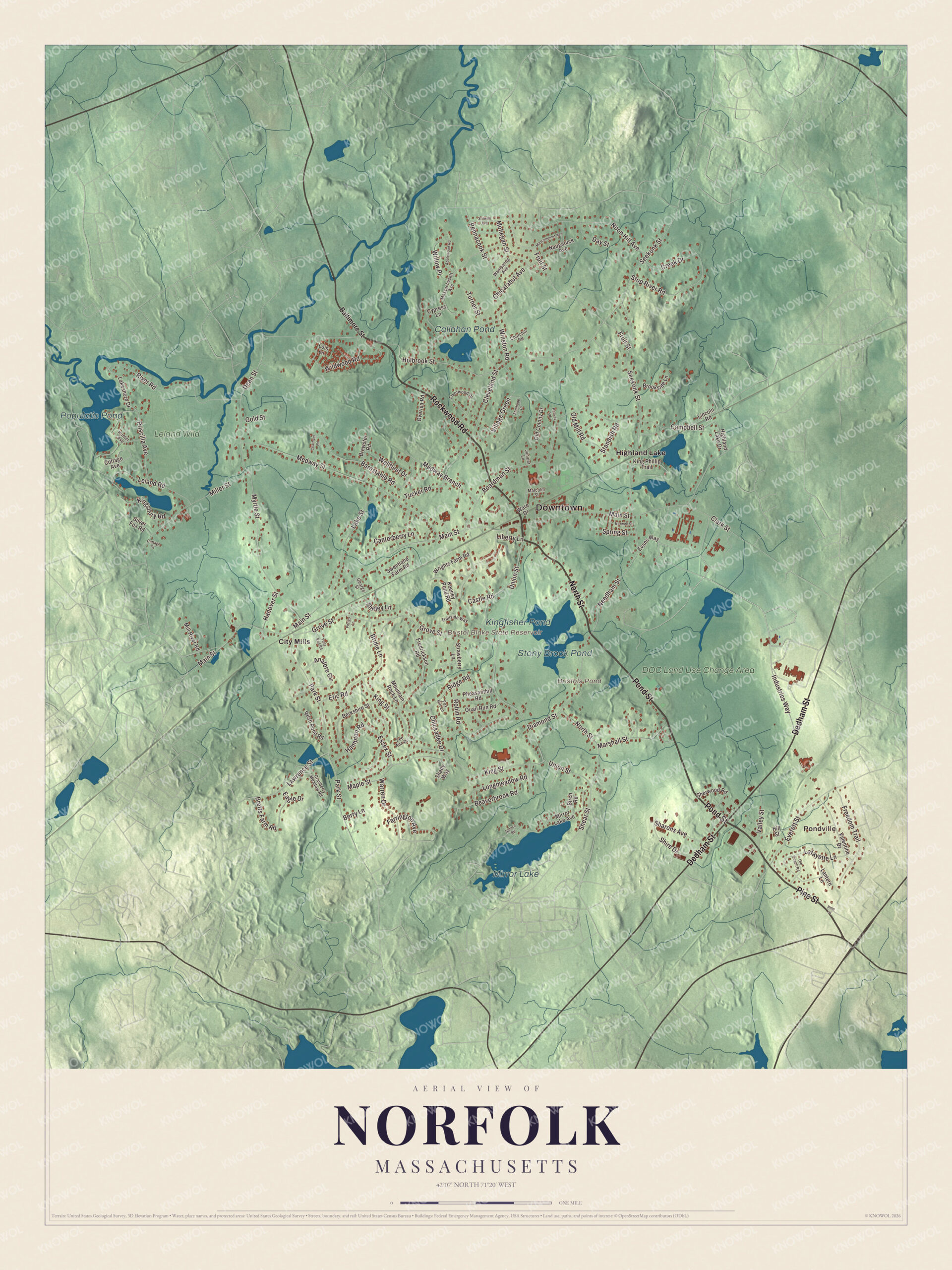
Click to explore a larger preview. The digital watermark does not appear on printed maps.
Names on this map
These names are printed on this map.
Places: Downtown, Pondville, Bristol Blake State Reservoir, Bristols Pond, Mirror Lake, Populatic Pond, Kingfisher Pond, Callahan Pond, Stony Brook Pond, DOC Land Use Change Area, Leland Wild, City Mills and Highland Lake.
Streets and roads: North Street, Pond Street, Rockwood Road, Pine Street, Dedham Street, Needham Street, Seekonk Street, Holbrook Street, Main Street, Union Street, Myrtle Street, Boardman Street.
More street names, A to Z
Analore Circle, Applewood Road, Baltimore Street, Barnstable Road, Beaverbrook Road, Berkshire Street, Berry Lane, Birch Road, Bretts Farm Road, Brewster Road, Bridie Lane, Brookside Lane, Bush Pond Road, Campbell Street, Canterberry Lane, Castle Road, Chatham Road, Chicatabut Avenue, Chickadee Drive, Churchill Road, Clark Street, Cleveland Street, Cottage Avenue, Cottage Court, Cranberry Meadow Road, Creek Drive, Cypress Lane, Day Street, Dean Street, Diamond Street, Eagle Drive, Eric Road, Essex Street, Evans Way, Everett Street, Farrington Avenue, Fleetwood Drive, Fox Hill Lane, Fredrickson Road, Freedom Trail, Fruit Street, George Street, Gold Street, Grove Street, Hampton Road, Hanover Street, Highland Lake Drive, Hill Street, Hoover Road, Hunter Avenue, Industries Way, Juniper Lane, Keeney Pond Road, King Phillip Trail, Kingsbury Road, King Street, Lafayette Lane, Lakeshore Drive, Lake Street, Lantern Lane, Lawrence Street, Lee Ann Drive, Leland Road, Liberty Lane, Lincoln Road, Lois Lane, Longmeadow Road, Malcolm Street, Maple Street, Marshall Street, Masconemet Avenue, Massachusett Avenue, Medway Branch, Medway Street, Miller Street, Mill River Road, Mirror Lake Avenue, Mohegan Street, Mountain Rock Lane, Naugatuck Avenue, Noon Hill Avenue, Norwell Street, Old Coach Road, Old Colony Drive, Old Mill Road, Overlea Road, Park Street, Pennacook Street, Perigo Lane, Pheasanthill Road, Priscilla Avenue, Quail Run Road, Ridge Road, River Road, Robin Road, Shady Way, Sharons Avenue, Shear Street, Sherwood Road, Shire Drive, Shirley Lane, Silver Fox Road, Spring Street, Spruce Road, Standish Road, Stanhope Drive, Stilwell Avenue, Stop River Road, Strawberry Lane, Sweetland Farm Road, Toils End Road, Trailside Way, Tucker Road, Turner Street, Valentine Drive, Valley Street, Village Green, Wampanog Avenue, Ware Drive, Warren Drive, Wellfleet Drive, Wildwood Road, Willow Place, Winston Road, Wrights Farm Road.
See it on a wall
The Norfolk map as a framed print. Swipe for more.


Around the map
Start with Pondville, then follow North Street, Pond Street, Rockwood Road, Pine Street, Dedham Street and Needham Street across town. Then look outward toward City Mills and Highland Lake. Bristol Blake State Reservoir, Bristols Pond, Mirror Lake and Populatic Pond are all labeled on the map, and every one of those names is printed directly on the artwork. Today’s commuter rail station sits in the small commercial center beside the Rockwood Road crossing. The Stop River rises near Highland Lake and flows north 9.3 miles to the Charles in Medfield. Mass Audubon’s 107-acre Stony Brook Wildlife Sanctuary has a mile-long trail around Stony Brook Pond that ends at a waterfall on the site of a former mill, with a boardwalk over Teal Marsh and Kingfisher Pond.
The Norfolk map makes a fine addition to an office, library or den, and it can help teach children the geography and history of a mill-village town on the upper Charles. It’s made for people who call Norfolk home, from Pondville to City Mills, and it shows the town as it looks today. Zoom in on the preview above to explore the details, then click here to get your copy of the Norfolk, Massachusetts map.

Sources