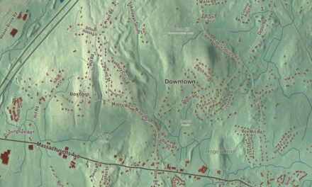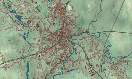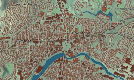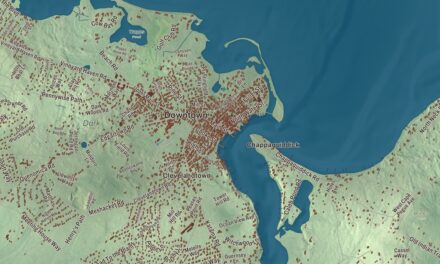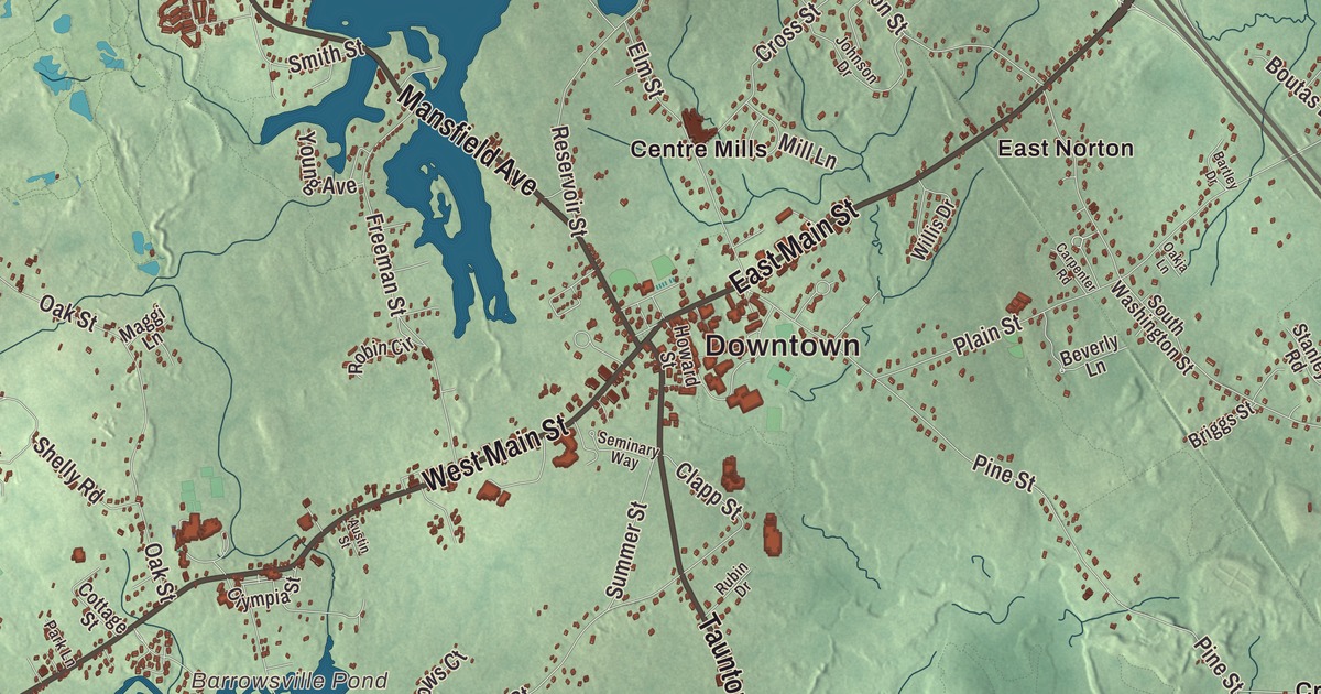
Norton started out as North Taunton, the land on Taunton’s northern border. This map prints the roads that cross it now, East Main Street, West Main Street, Taunton Avenue, New Taunton Avenue, Mansfield Avenue and Old Colony Road, with Norton Reservoir, Chartley Pond and Barrowsville Pond. Click here to purchase a print of this map for your wall.
Norton is in Bristol County.
KNOWOL made this map in 2026 from public survey data and gave it the manner of an old atlas. United States Geological Survey elevation data shows how low the ground lies, and the Census Bureau supplied the streets and the town line. Norton covers 29.8 square miles, much of it low and swampy, and had 19,202 people at the 2020 census. Its waters are fed by the Wading River and the Canoe River, both bound for the Taunton River, and it’s bordered by Easton, Taunton, Rehoboth, Attleboro and Mansfield, about 27 miles south-southwest of Boston.
North Taunton
The town page says Norton was first legally settled by colonists after the Taunton North Purchase of 1668, a deed from Metacomet that took in the forests, cedar swamps, rivers and meadows that became Norton, Mansfield and Easton. The Town of Norton’s recorded history, in the Secretary of the Commonwealth’s list, dates European settlement to 1669, when the settlement was called North Taunton. It was renamed for Norton in Oxfordshire, England, where many early settlers came from, when the town was officially established on March 17, 1710, by the town page’s date; the state’s list says Norton was incorporated as a town in 1711. Easton was set off from Norton in 1725 and Mansfield in 1770.
Jonathan Eddy was born in Norton in 1726 or 1727. He fought in the French and Indian War, served in the Nova Scotia assembly, backed the Revolution, led the defense of Machias, Maine, in 1777, and founded the community now called Eddington, Maine. George L. Clarke, born in Norton in 1813, became mayor of Providence. Norton schoolchildren grew up on the legend of King Philip’s Cave, a cave of huge glacial rocks near Lake Winnecunnet where the Wampanoag sachem Metacomet is said to have camped.
Wheaton College
In 1834 Laban Wheaton, persuaded by his daughter-in-law Eliza Baylies Chapin Wheaton, founded a female seminary in memory of his daughter Eliza Wheaton Strong, who had died that year. The educator Mary Lyon wrote its first curriculum, meant to match the quality of men’s colleges, and Wheaton Female Seminary opened in Norton on April 22, 1835, with 50 students and three teachers. The poet Lucy Larcom taught there from 1854 to 1862 and helped found the student literary magazine The Rushlight, still published today. The school became Wheaton College in 1912 and admitted its first coeducational class in 1988. TPC Boston, a golf course Arnold Palmer designed in 2002, hosted a PGA Tour event in Norton until 2018. The town remains part of Bristol County today.
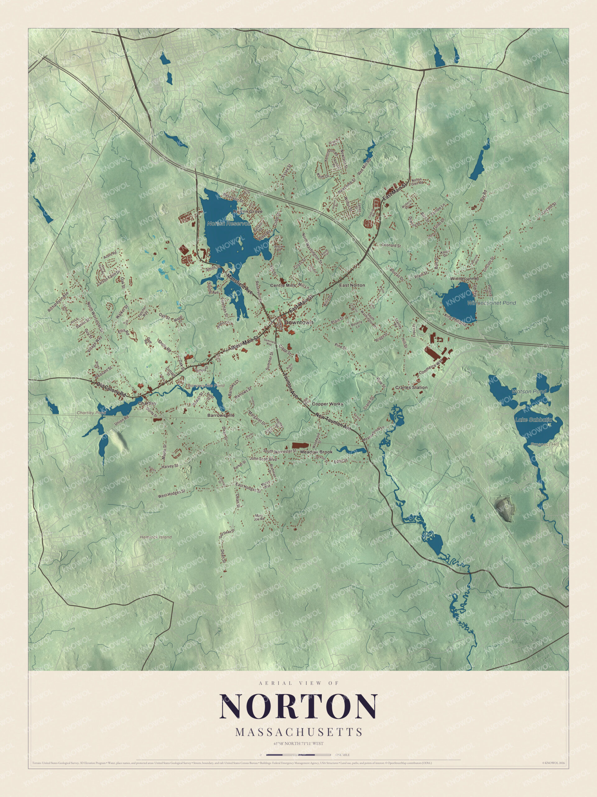
Click to explore a larger preview. The digital watermark does not appear on printed maps.
Names on this map
These names are printed on this map.
Places: Downtown, Hemlock Island, Prospect Hill, Barrowsville Pond, Chartley Pond, Norton Reservoir, Lake Sabbatia, Winnecunnet Pond, Watson Pond, Lincoln Woods, Barrowsville, Centre Mills, Chartley, Copper Works, Cranes Station, East Norton, Meadow Brook, Norton Grove and Winnecunnet.
Streets and roads: East Main Street, West Main Street, New Taunton Avenue, Old Colony Road, Taunton Avenue, Mansfield Avenue, Eddy Street, South Worcester Street, John Scott Boulevard, North Worcester Street, Freeman Street, West Hodges Street.
More street names, A to Z
Acorn Road, Alder Road, Arrow Road, Austin Street, Balsam Road, Barrows Court, Barrows Street, Bartley Drive, Bay Road, Berry Street, Beverly Lane, Boutas Drive, Brahman Drive, Briggs Street, Bullock Drive, Burt Street, Buttermilk Way, Carpenter Road, Charles Lane, Clapp Street, Cobb Street, Codding Road, Colonial Drive, Commerce Way, Cottage Street, Crane Street, Cross Street, Dean Street, Downing Drive, East Hodges Street, Eileen Road, Ellis Road, Elm Street, Essex Street, Fairlee Lane, Faith Way, Fern Lane, Fletcher Way, Fordham Drive, Forest Lane, Fuller Drive, Gardner Road, Goff Road, Guy Street, Hadley Road, Harvey Street, Hill Street, Hilltop Road, Horton Drive, Howard Street, Jackson Street, James Street, Janet Street, Johnson Drive, Karol Drive, Kayak Trail, Keith Drive, Kendal Pk, Kensington Road, King Philip Road, Larson Farm Drive, Laura Lane, Leonard Street, Lincoln Street, Lopes Drive, Maggi Lane, Maple Street, Margaret Drive, Mary Joe Road, Meadowbrook Lane, Mill Lane, Mulberry Brook, Myras Way, Newcomb Street, Newland Street, North Washington Street, Norton Glen Road, Noyes Street, Oakja Lane, Oak Street, Old Dean Street, Olympia Street, Parker Street, Park Lane, Patlena Drive, Peter Street, Pine Street, Plain Street, Pleasant Street, Power Street, Pratt Street, Red Mill Road, Reservoir Street, Richardson Avenue, Robin Circle, Rubin Drive, Sanlin Street, Seminary Way, Shelly Road, Smith Street, South Washington Street, Stanley Road, Stony Field Road, Sturdy Street, Summer Street, Union Road, Village Way, Walker Street, Wilbur Street, Willis Drive, Woodward Street, Young Avenue.
See it on a wall
The Norton map as a framed print. Swipe for more.


Around the map
Start with Barrowsville. Follow East Main Street, West Main Street, New Taunton Avenue, Old Colony Road, Taunton Avenue and Mansfield Avenue across town. Then look outward toward Centre Mills, Chartley, Copper Works, Cranes Station and East Norton. Barrowsville Pond, Chartley Pond, Norton Reservoir, Lake Sabbatia, Prospect Hill and Hemlock Island are all printed on the map. Norton Reservoir, north of the town center, is one of the two largest bodies of water in town; it lies in Norton and Mansfield, and the Rumford River empties into it. Chartley is a village with its own post office near the Attleboro line, and Chartley Pond was formed by digging for iron in the 1600s and 1700s.
The Norton map is a good fit for an office, library or den, and it can help teach children the geography and history of the town that’s home to Wheaton College. It’s made for anyone who calls Norton home, from Chartley to East Norton, and it shows the town as it looks today. Zoom in on the preview above to explore the details, then click here to get your copy of the Norton, Massachusetts map.

Sources
- Norton, Massachusetts, Wikipedia
- Jonathan Eddy, Wikipedia
- George L. Clarke, Wikipedia
- Wheaton College (Massachusetts), Wikipedia
- Lucy Larcom, Wikipedia
- TPC Boston, Wikipedia
- Norton Reservoir, Wikipedia
- Chartley, Massachusetts, Wikipedia
- City and Town Incorporation and Settlement Dates, Secretary of the Commonwealth of Massachusetts (archived copy)