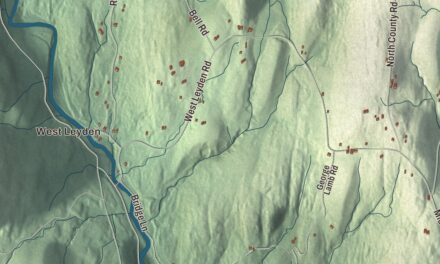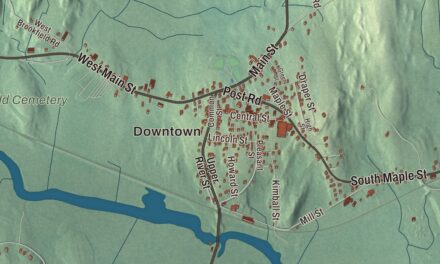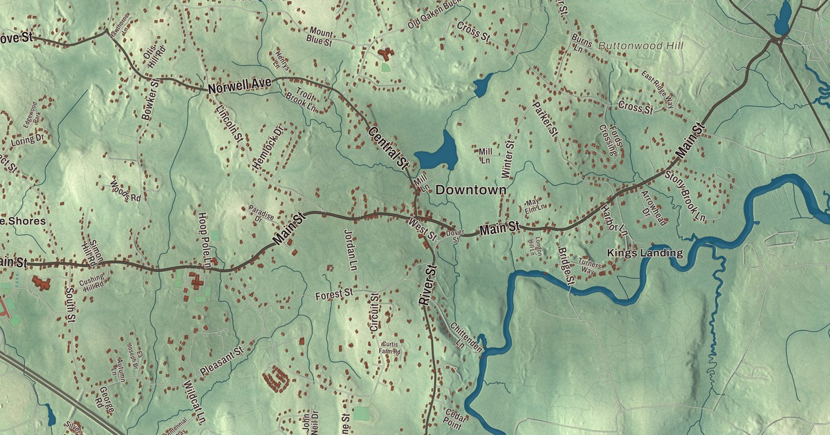
Norwell carries the name of Henry Norwell, a merchant who gave money to maintain the town’s roads. This map prints those roads today, Main Street, Washington Street, River Street, High Street, Grove Street and Pond Street, with Jacobs Pond, Accord Pond and Black Pond. Click here to purchase a print of this map for your wall.
Norwell is in Plymouth County.
KNOWOL made this map in 2026 from public survey data and set it in the style of an old atlas. United States Geological Survey elevation data brings out the hills in the north of town, and the Census Bureau supplied the streets and the town line. Norwell covers 21.2 square miles on the South Shore, some 30% to 38% of it wetland, and had 11,351 people at the 2020 census. Hanover and Rockland lie to the west, Pembroke to the south, Marshfield and Scituate to the east and northeast, and Hingham to the north. Much of the eastern border runs along the North River, Third Herring Brook forms much of the line with Hanover, and the southern end of Wompatuck State Park reaches into town.
South Scituate
The Town of Norwell’s recorded history, in the Secretary of the Commonwealth’s list, dates European settlement to 1634, when this land was part of Satuit, later Scituate. Norwell was incorporated as a town in 1849 and was soon known as South Scituate. In 1888 the voters renamed it Norwell, after Henry Norwell, a dry goods merchant who gave money to maintain the town roads. Farming drew the first settlers, and shipbuilding on the North and Northwest rivers became a major industry from the 1700s into the early 1800s. Frigates, schooners, whalers and merchant ships were launched here, and packet boats called at the Wanton and Fox Hill shipyards in Norwell.
The town common, first laid out in the 1640s, is the heart of the Norwell Village Area Historic District, which radiates along Main, Central, West, River and Dover streets. Its buildings include the 1830 First Parish Church, the 1874 Italianate James Library and the 1934 Cushing Memorial Town Hall. Josiah Leavitt James of Chicago, who had lived in South Scituate, funded the library at the urging of the First Parish minister, William Hamilton Fish. The Bryant-Cushing House at 768 Main Street, its oldest part built around 1698 by Deacon Thomas Bryant, stayed in the Cushing family for roughly two hundred years.
Librarians and cymbals
Hannah Packard James was born in South Scituate in 1835 and studied in a district school in town. She became a librarian at the Newton Free Library, then the first librarian of the Osterhout Free Library in Wilkes-Barre, Pennsylvania, helped found the Pennsylvania Library Association and helped create the American Library Association. The Zildjian company, which Avedis Zildjian, an Armenian, founded in the Ottoman Empire in the 1600s, is now based in Norwell, where Armand Zildjian led it and his daughters run the family business. The author John Cheever is buried in Norwell. The town remains part of Plymouth County today.
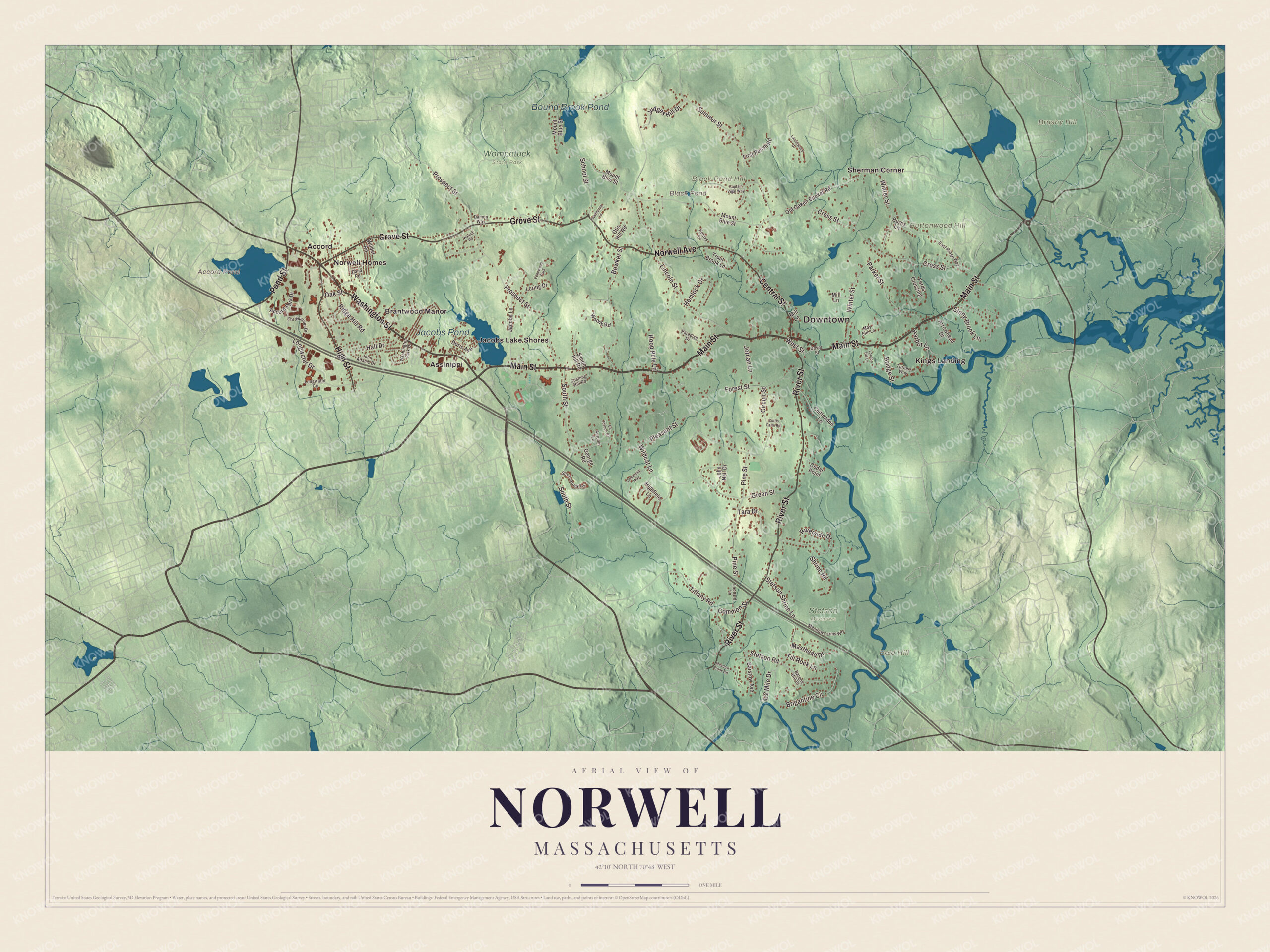
Click to explore a larger preview. The digital watermark does not appear on printed maps.
Names on this map
These names are printed on this map.
Places: Downtown, Bald Hill, Black Pond Hill, Brushy Hill, Buttonwood Hill, Accord Pond, Black Pond, Jacobs Pond, Bound Brook Pond, Stetson Meadows, Wompatuck State Park, Accord, Assinippi, Brantwood Manor, Jacobs Lake Shores, Kings Landing, Norwell Homes, Sherman Corner and Edgewood Park.
Streets and roads: Main Street, Washington Street, Grove Street, Pond Street, River Street, High Street, Central Street, Norwell Avenue, Prospect Street, Circuit Street, Cross Street, Lincoln Street.
More street names, A to Z
Accord Park Drive, Arrowhead Drive, Autumn Lane, Barque Hill Drive, Barstow Avenue, Bowker Street, Bridge Street, Brigantine Circle, Burns Lane, Captain Vinal Way, Cedar Point, Centennial Way, Chittenden Lane, Common Street, Cordwainer Drive, Curtis Farm Road, Cushing Hill Road, Damon Way, Dana Road, Doris Avenue, Dover Street, Ea Joseph Drive, East Ridge Way, First Parish Road, Fords Crossing, Forest Street, George Road, Green Street, Hall Drive, Harbor Lane, Hawthorne Lane, Hemlock Drive, Henrys Lane, Highfield Lane, Hoop Pole Lane, Jacobs Lane, John Adams Drive, John Neil Drive, Jordan Lane, Judges Hill Drive, Laurelwood Drive, Leonard Lane, London Hill Lane, Longwater Circle, Longwater Drive, Loring Drive, Masthead Drive, May Elm Lane, Meadow Brook Road, Meadow Farms Way, Mill Lane, Mount Blue Street, Oak Street, Old Oaken Bucket Road, Otis Hill Road, Paradise Drive, Parker Street, Pine Street, Pleasant Street, Ridge Hill Road, Riverside Drive, School Street, Shrine Road, Silver Brook Lane, Simon Hill Road, South Street, Stetson Road, Stetson Shrine Lane, Stony Brook Lane, Summer Street, Tara Drive, Tiffany Road, Till Rock Lane, Trout Brook Lane, Turners Way, Walnut Road, Washington Park Drive, West Street, Wildcat Lane, Wilder Road, Winter Street, Woods Road.
See it on a wall
The Norwell map as a framed print. Swipe for more.


Around the map
Start with Accord. Follow Main Street, Washington Street, Grove Street, Pond Street, River Street and High Street across town. Then look outward toward Assinippi, Brantwood Manor, Jacobs Lake Shores, Kings Landing and Norwell Homes. Accord Pond, Black Pond, Jacobs Pond, Bound Brook Pond, Bald Hill, Black Pond Hill and Brushy Hill are all printed on the map. Accord Pond is a 100-acre reservoir where Norwell, Rockland and Hingham meet, named for an accord made there in early colonial times between local Native people and English settlers; its water first flowed to Hingham’s town system in 1880, and the village of Accord sits on its northeast shore, in Hingham. Jacobs Pond, 59 acres, is the headwaters of Third Herring Brook, with the South Shore Natural Science Center close by and the Hanover village of Assinippi alongside.
The Norwell map makes a fine addition to an office, library or den, and it can help teach children the geography and history of a shipbuilding town on the North River. It’s made for anyone who calls Norwell home, from Accord Pond to the North River, and it shows the town as it looks today. Zoom in on the preview above to explore the details, then click here to get your copy of the Norwell, Massachusetts map.

Sources
- Norwell, Massachusetts, Wikipedia
- North River (Massachusetts Bay), Wikipedia
- Wompatuck State Park, Wikipedia
- Norwell Village Area Historic District, Wikipedia
- Bryant-Cushing House, Wikipedia
- Hannah Packard James, Wikipedia
- Zildjian, Wikipedia
- Accord Pond, Wikipedia
- Jacobs Pond (Norwell, Massachusetts), Wikipedia
- City and Town Incorporation and Settlement Dates, Secretary of the Commonwealth of Massachusetts (archived copy)