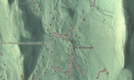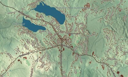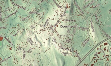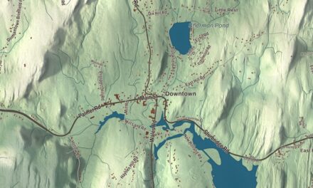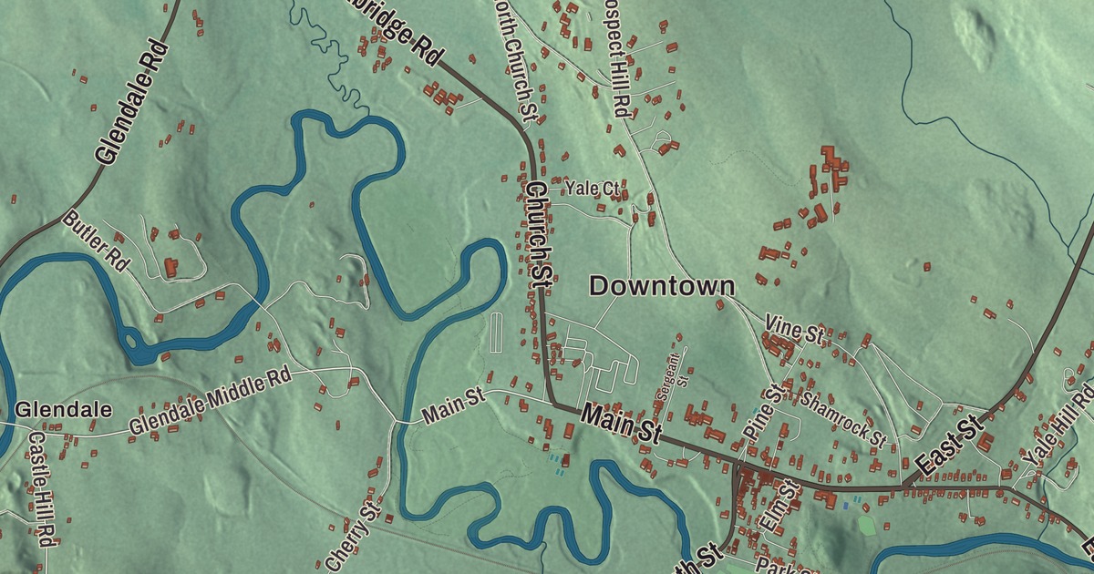
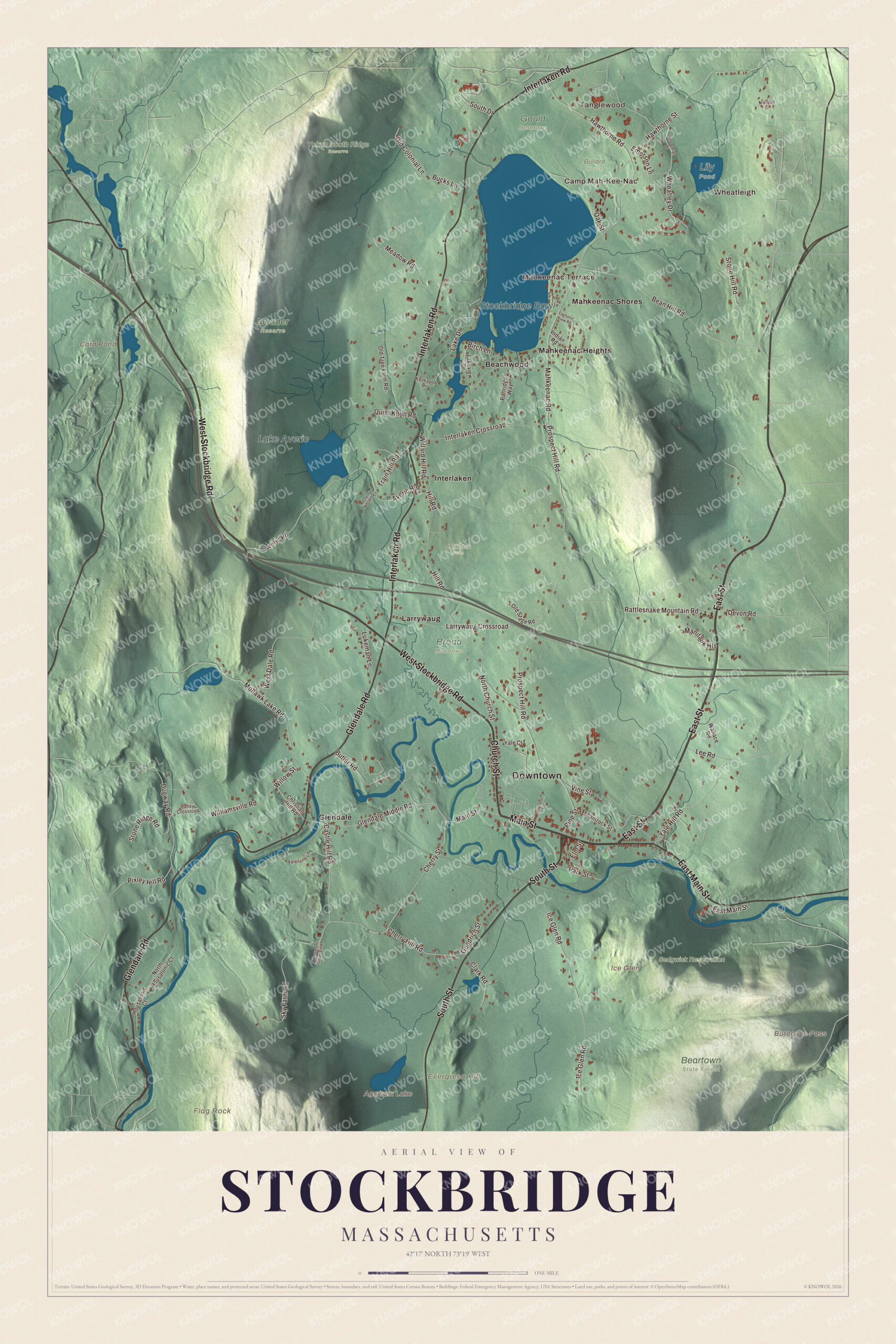
Stockbridge’s Main Street is at the heart of this map, which carries Church Street, South Street, Glendale Road and Interlaken Road out to Tanglewood, Mahkeenac Terrace, Glendale, Interlaken, Ice Glen and Flag Rock. Click here to purchase a print of this map for your wall.
Stockbridge is in Berkshire County.
KNOWOL made this map in 2026 from public survey data and gave it the quiet finish of an old atlas. United States Geological Survey elevation data shapes the Berkshire hills around the town, and the roads and the town line come from the Census Bureau. Stockbridge is a year-round resort town on the Housatonic River, with 2,018 people at the 2020 census. It’s home to the Norman Rockwell Museum, the Naumkeag estate and gardens, and Chesterwood, the summer home and studio of the sculptor Daniel Chester French.
The mission town
Stockbridge began as a mission to the Mohican people known as the Stockbridge Indians, on a township Massachusetts set aside for them. The Rev. John Sergeant began his work as the first missionary in 1735, and the theologian Jonathan Edwards later followed him. The Town of Stockbridge’s recorded history, in the Secretary of the Commonwealth’s list, dates European settlement to 1734. The village was chartered as Indian Town in 1737, and Stockbridge was incorporated as a town in 1739, on June 22, named for Stockbridge in Hampshire, England. Sergeant opened the town’s first school in 1737 for Mohican children. His Mission House, built in 1741 and 1742 on the hill above the town, was moved down to 19 Main Street in the 1920s by Mabel Choate, who opened it as a museum in 1930; it’s a National Historic Landmark. Massachusetts had promised the Mohicans their land would never be sold, but that promise was withdrawn, and even after the tribe aided the Patriots in the Revolution, its Stockbridge lands were taken by white townspeople and its people were forced to move west, first to New York and then to Wisconsin.
Elizabeth Freeman won her freedom in court under the new state constitution, with the lawyer Theodore Sedgwick filing her suit, and her case became a precedent for the later state Supreme Court case that effectively ended slavery in Massachusetts. She came to work in Sedgwick’s Stockbridge household as a free woman, and she’s buried in the Sedgwick family plot at the Stockbridge Cemetery. Agrippa Hull, a free Black veteran of the Revolution, worked in the same household and became the largest Black landowner in Stockbridge. Sedgwick’s daughter, Catharine Maria Sedgwick, was born here in 1789 and became a renowned writer, whose six novels include Hope Leslie of 1827. Stockbridge schools also educated three men who served together on the United States Supreme Court from 1891 to 1897: Stephen Johnson Field, Henry Billings Brown and David Josiah Brewer.
Cottages, music and paper
The railroad came in 1850, and Stockbridge became a summer resort for wealthy families from Boston and other cities, who built the large houses called Berkshire Cottages. Naumkeag, the 44-room house Stanford White designed for the lawyer Joseph Hodges Choate in 1885 and 1886, is known for gardens Fletcher Steele later laid out with Mabel Choate. The Laurel Hill Association, the first incorporated village improvement society in the United States, has looked after the village since 1853. In 1867, at Curtisville, now Interlaken, Albrecht Pagenstecher opened the first wood-based newsprint mill in the United States. Daniel Chester French bought a 150-acre farm here in 1896 for Chesterwood, and Norman Rockwell lived the last 25 years of his life in Stockbridge. The Norman Rockwell Museum, founded in 1969 in the Old Corner House on Main Street, holds the world’s largest collection of his original work, including his 1967 picture of Stockbridge Main Street at Christmas.
Click to explore a larger preview. The digital watermark does not appear on printed maps.
See it on a wall
The Stockbridge map as a framed print. Swipe for more.


Around the map
Start with Tanglewood. Follow West Stockbridge Road, Main Street, Church Street, South Street, Glendale Road and Interlaken Road across town. Then look outward toward Wheatleigh, Mahkeenac Terrace, Beachwood, Glendale and Interlaken. Agawam Lake, Card Pond, Lake Averic, Sedgwick Reservation, Evergreen Hill, Flag Rock, Burgoyne Pass and Ice Glen are all printed on the map. Tanglewood, in Lenox and Stockbridge, has been the summer home of the Boston Symphony Orchestra since 1937, and it takes its name from Nathaniel Hawthorne’s Tanglewood Tales, which he wrote while living in a cottage on the estate. Below it lies Stockbridge Bowl, also called Lake Mahkeenac, a 372-acre lake about 2.5 miles north of the village and the largest in town. In the southeast part of town, Ice Glen is a mossy ravine where ice can last in the deep crevices into summer, ringed by old growth forest; David Dudley Field gave it to the Laurel Hill Association in 1891. Stockbridge was also the home of the restaurant in Arlo Guthrie’s song “Alice’s Restaurant.”
The Stockbridge map makes a graceful addition to an office, library or den, and it can help teach children the geography and history of a Berkshire village. It’s made for people who call Stockbridge home, from Tanglewood to Glendale, and it shows the town as it looks today. Zoom in on the preview above to explore the details, then click here to get your copy of the Stockbridge, Massachusetts map.

Sources
- Stockbridge, Massachusetts, Wikipedia
- Mission House (Stockbridge, Massachusetts), Wikipedia
- Naumkeag, Wikipedia
- Chesterwood (Massachusetts), Wikipedia
- Norman Rockwell Museum, Wikipedia
- Tanglewood, Wikipedia
- Stockbridge Bowl, Wikipedia
- Ice Glen, Wikipedia
- City and Town Incorporation and Settlement Dates, Secretary of the Commonwealth of Massachusetts (archived copy)