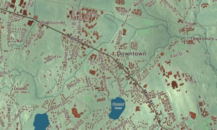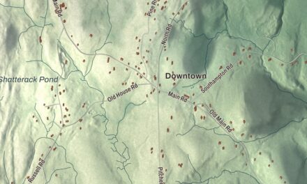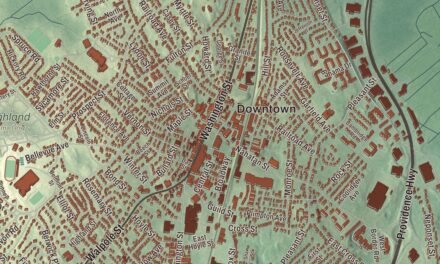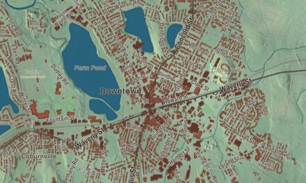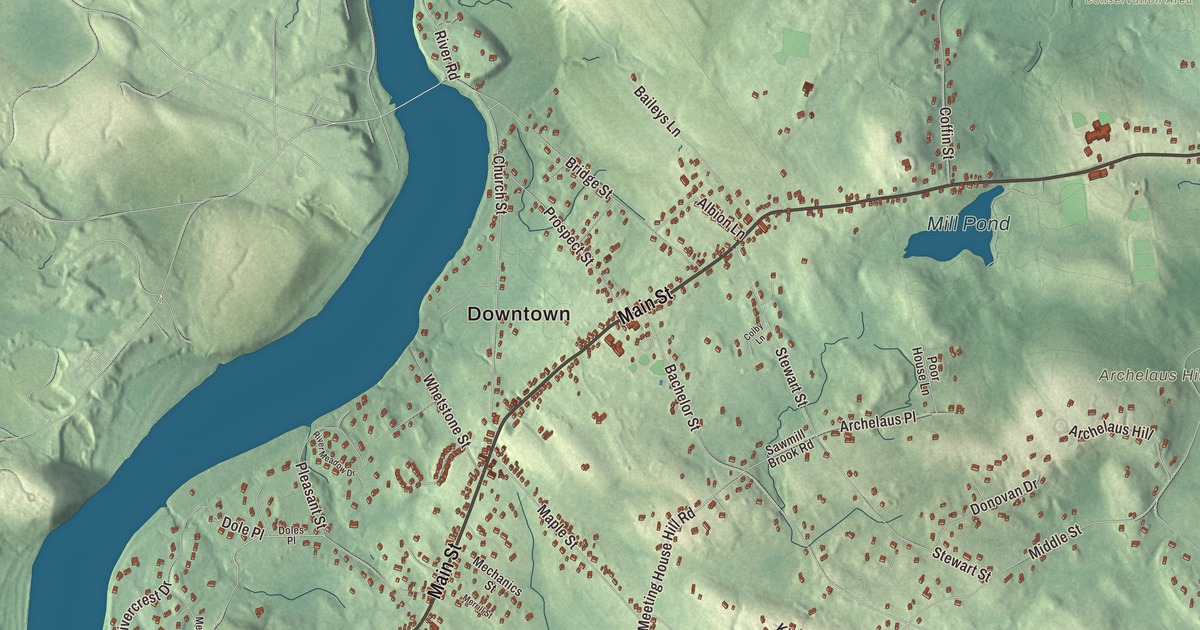
This aerial map of West Newbury, Massachusetts was created in 2026 using real geographic data to bring the town’s streets, buildings, ponds and waterways, mountains and ridgelines, and terrain together in one highly detailed view. Look closer and you can pick out the familiar places that make West Newbury feel like home. Start with the street you know, then see how it connects to the rest of the West Newbury you call home. Click here to purchase a print of this map for your wall.
Explore an aerial view of West Newbury, Massachusetts
Start with Downtown. Follow Main Street, River Road, Ash Street, Spring Hill Road, Middle Street, and South Street across town.
Little Crane Pond, Lower Artichoke Reservoir, Upper Artichoke Reservoir, Mill Pond, Archelaus Hill, Crane Neck Hill, and Indian Hill are all labeled on the map. Every one of those names is printed directly on the artwork, giving you plenty to explore.
The Town of West Newbury’s recorded history dates European settlement to 1635. West Newbury was incorporated as a town in 1819. The town remains part of Essex County today. Click the image below to see the area as it looked in 2026.
Take a closer look at the West Newbury map
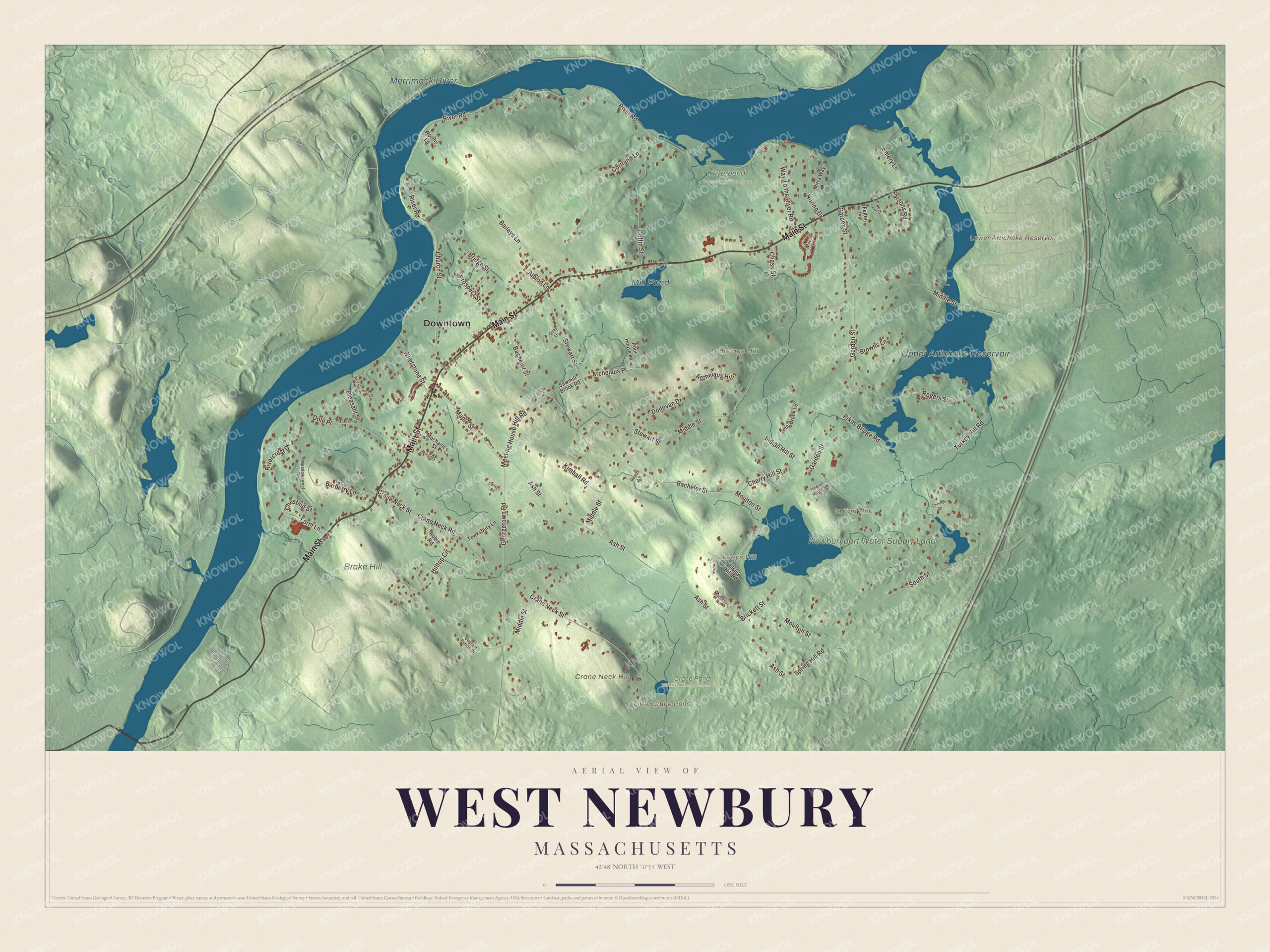
Click to explore a larger preview. The digital watermark does not appear on printed maps.
Names on this map
These names are printed on this map.
Places: Downtown, Archelaus Hill, Crane Neck Hill, Indian Hill, Isleys Hill, Little Crane Pond, Lower Artichoke Reservoir, Upper Artichoke Reservoir, Mill Pond, Merrimack River, Newburyport Water Supply Land, Brake Hill, Crane Pond Wildlife Management Area and Riverbend Conservation Area.
Streets and roads: Main Street, River Road, Ash Street, Spring Hill Road, Middle Street, South Street, Crane Neck Street, Bachelor Street, Garden Street, Indian Hill Street, Turkey Hill Road, Moulton Street.
More street names, A to Z
Albion Lane, Archelaus Place, Baileys Lane, Barberry Lane, Brickett Street, Bridge Street, Browns Lane, Captain Pierce Drive, Carlsen Road, Chase Street, Cherry Hill Street, Chestnut Street, Church Street, Coffin Street, Colby Lane, Common Drive, Cortland Lane, Crane Neck Road, Dole Place, Doles Place, Donovan Drive, Emery Lane, Farm Lane, Felton Lane, Georgetown Road, Hilltop Circle, Illsley Hill Road, Indian Ridge Road, Kelly Brook Lane, Kimball Road, Liberty Lane, Maple Street, Meadowsweet Road, Mechanics Street, Meeting House Hill Road, Merrill Street, Mirra Way, Montclair Road, Moody Lane, Norino Drive, Parsons Road, Pikes Bridge Road, Pleasant Street, Poor House Lane, Prospect Street, Reeds Lane, Rivercrest Drive, River Meadow Drive, Robin Road, Rogers Street, Sawmill Brook Road, Stewart Street, Tewksbury Lane, Way To the River Road, Whetstone Street, Worths Lane.
See it on a wall
The West Newbury map as a framed print. Swipe for more.


We designed the artwork at KNOWOL using West Newbury’s real streets, buildings, ponds and waterways, mountains and ridgelines, and terrain, the town boundary, and the way buildings spread across the town. Then we chose the color, relief, lettering, and layout that make the map look great on the wall.
This beautifully detailed map of West Newbury makes an attractive addition to your office, library, or den and can even be used to teach children the geography and history of the area. When you’re done exploring, click here to get your copy of the West Newbury, Massachusetts map.