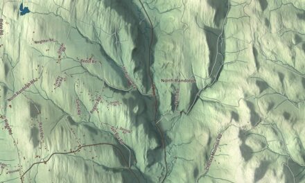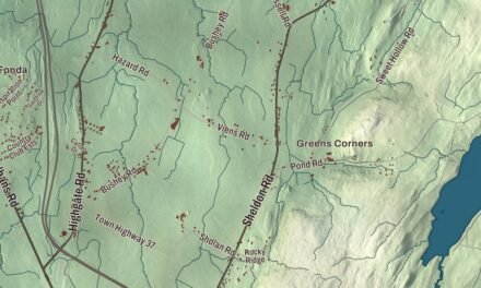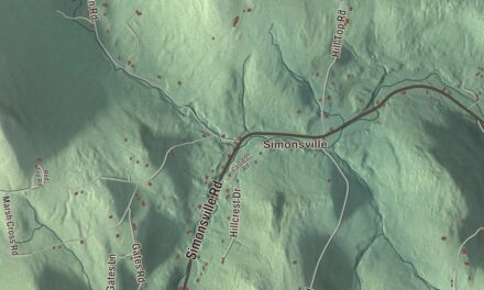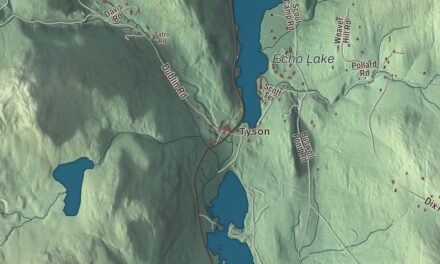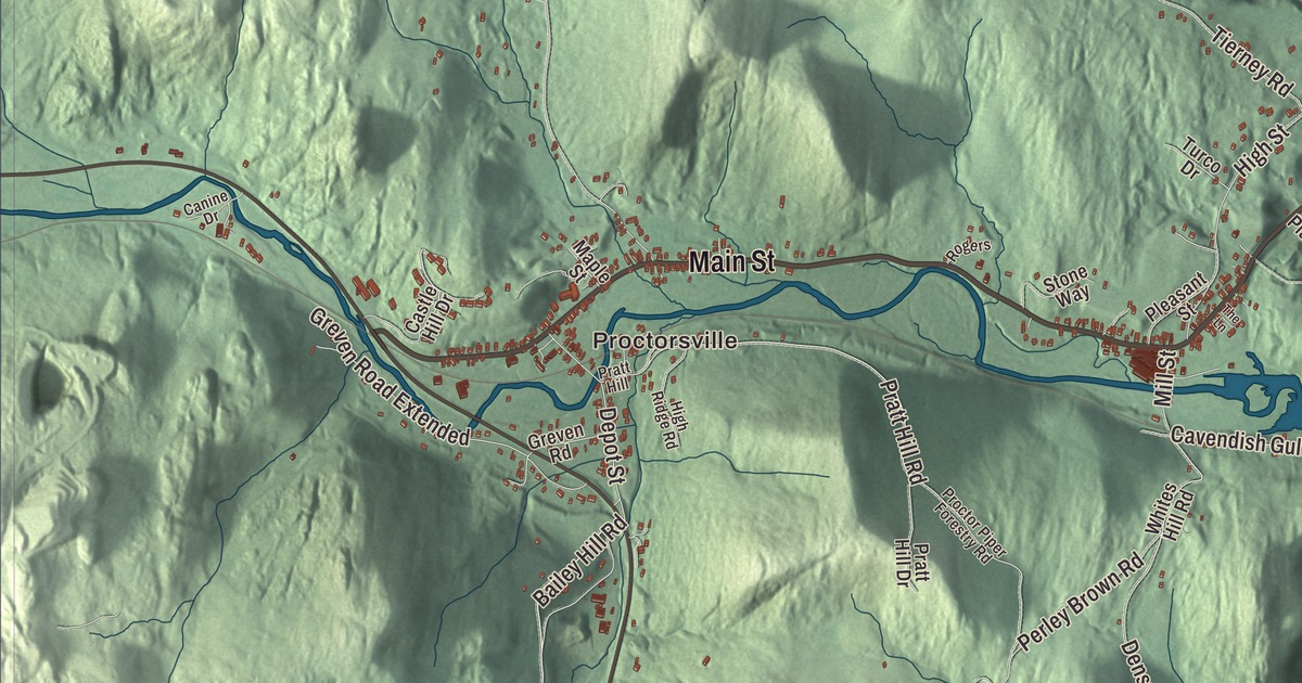
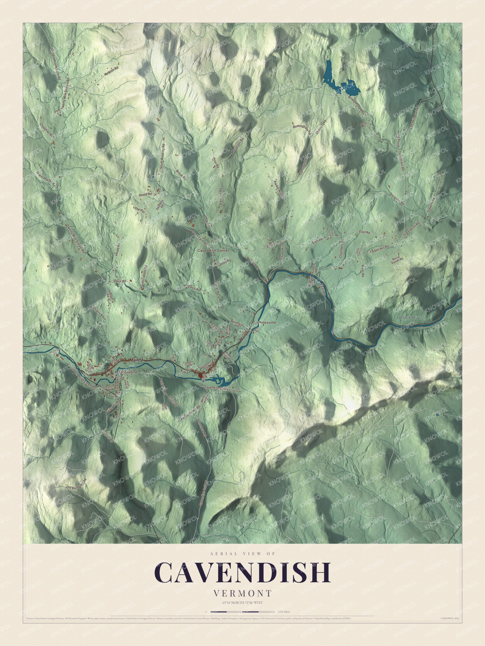
The Black River ties Cavendish together, running from Proctorsville down past Cavendish village, two old rival settlements whose leading families were joined by a wedding in 1858. This map prints the Black River, Proctorsville and Whitesville, Cavendish Center, and Main Street, Cavendish Gulf Road, Town Farm Road, South Reading Road, Knapp Pond Road and Meadowbrook Farm Road.
Cavendish is a town in Windsor County, Vermont.
KNOWOL made this map in 2026 from public survey data and drew it in the style of an old atlas. The shaded hills come from United States Geological Survey elevation data, and the roads and the town line come from the Census Bureau. Cavendish covers 39.7 square miles and had 1,392 people at the 2020 census. Click here to purchase a print of this map for your wall.
Coffeen, Dutton and Proctor
New Hampshire issued the charter for Cavendish on October 12, 1761, and the town was most likely named for William Cavendish, the fourth Duke of Devonshire. It began seven miles square. The southeast corner, cut off by Hawks Mountain, became the town of Baltimore in 1793, and more land went to Chester in 1841. The Crown Point Road, built from 1759 between Fort No. 4 in Charlestown, New Hampshire, and Crown Point, New York, crossed the township from corner to corner, and in June 1769 Captain John Coffeen brought his family from Rindge, New Hampshire, and made his home beside it. For two years the Coffeens were the only family in town.
In the early 1780s two men from Massachusetts founded the two villages on the Black River. Salmon Dutton came in 1781 and started Duttonsville, now Cavendish village, and Leonard Proctor arrived the next year and started Proctorsville. Dutton was elected town clerk at the first recorded town meeting in 1782, surveyed the first road along the Black River to Ludlow in 1784, and became the town’s first justice of the peace in 1786. The rivalry between the villages was supposed to end in 1858, when Redfield Proctor married Emily Dutton. Proctor, born in Proctorsville in 1831, went on to serve as governor of Vermont, secretary of war and a United States senator.
Mills on the river
In the early 1800s the town had gristmills, sawmills, carding machines, woolen factories, a nail factory, tanneries and more, and by 1869 its factories were turning out woodenware, lead pipe, pumps, edge tools and starch. Up until 1875 Cavendish had three big textile mills, one each in Cavendish village, Proctorsville and the hamlet of Fittonsville downstream. The Proctorsville mill ran until 1937 and the Cavendish mill until 1957, and the Cavendish mill building is home today to Mack Molding, a plastics maker. Scottish stonemasons, most likely, built the Cavendish Universalist Church on Route 131 in 1844, in a “snecked” ashlar of local fieldstone that’s rare in Vermont outside this corner of Windsor County.
Click to explore a larger preview. The digital watermark does not appear on printed maps.
Names on this map
These names are printed on this map.
Places: Proctorsville, Whitesville, Cavendish Center and Black River.
Streets and roads: Main Street, Cavendish Gulf Road, Town Farm Road, South Reading Road, Knapp Pond Road, Meadowbrook Farm Road, Bailey Hill Road, Chaos Turnpike, Moriglioni Road, Felchville Gulf Road, Old Bailey Hill Road, Pratt Hill Road.
More street names, A to Z
Atkinson Road, Birmingham Road, Brook Road, Canine Drive, Carlton Road, Castle Hill Drive, Center Road, Chambers Road, Chapman Road, Chubb Hill Road, Crown Point Drive, Cutoff Road, Davis Road, Densmore Road, Depot Street, East Road, Egan Road, Greenbush Road, Greven Road, Greven Road Extended, Hardscrabble Road, Heald Road, High Ridge Road, High Street, Hoey Road, Howard Hill Road, Ina Butler Road, Johnson Road, Leblanc Road, Maple Street, Mill Street, Newton Road, Norrie Davies Road, Old County Road, Oscarson Road, Parker Hill Road, Perley Brown Road, Pleasant Street, Power Plant Road, Pratt Hill, Pratt Hill Drive, Prior Road, Proctor Piper Forestry Road, Quarry Road, Quent Phelan Road, Rogers, Russell Road, Saunders Road, Senna Road, Stevens Road, Stone Cairn Lane, Stone Way, Tarbell Hill Road, The Hill, The Lane, Tierney Road, Turco Drive, Twenty Mile Stream Road, Wells Road, Whites Hill Road, Whitesville Road, Wiley Hill Road.
See it on a wall
The Cavendish map as a framed print. Swipe for more.


People of Cavendish
Nettie Stevens, born in Cavendish in 1861, was the geneticist who discovered sex chromosomes. Ryland Fletcher, born here in 1799, farmed the family place and served as governor of Vermont from 1856 to 1858, and he was known as an advocate against slavery. Thomas O. Seaver, also born in Cavendish, earned the Medal of Honor as a colonel in the Civil War and later served as a judge. From the late 1970s until 1994 the Russian writer and Nobel laureate Aleksandr Solzhenitsyn lived in Cavendish, where he found the quiet to write, and when he went home to Russia the town gave him a plaque at Town Meeting on February 28, 1994.
Proctorsville lies just east of the junction of Routes 131 and 103, along the Black River, and Route 131 continues east through Cavendish village. Proctor Piper State Forest began in 1914 with a gift of 424 acres. Whitesville, Cavendish Center, Cavendish Gulf Road, Town Farm Road, South Reading Road, Knapp Pond Road and Meadowbrook Farm Road are all printed on the map.
This map of Cavendish would be at home in an office, library or den, and it can even help teach children the geography and history of a mill town on the Black River. It’s made for everyone who calls Cavendish home and shows the town as it looks today, from Proctorsville to Cavendish Center. KNOWOL created it in 2026, and it’s printed on museum quality archival paper. Zoom in on the preview above to explore the details, then click here to get your copy of the Cavendish, Vermont map.

Sources
- Cavendish, Vermont, Wikipedia
- Cavendish History, Town of Cavendish
- Town histories and representatives, C towns, Vermont Legislature
- Proctorsville, Vermont, Wikipedia
- Black River (Connecticut River tributary), Wikipedia
- Cavendish Universalist Church, Wikipedia
- Redfield Proctor, Wikipedia
- Nettie Stevens, Wikipedia
- Ryland Fletcher, Wikipedia
- Thomas O. Seaver, Wikipedia
- Aleksandr Solzhenitsyn, Wikipedia