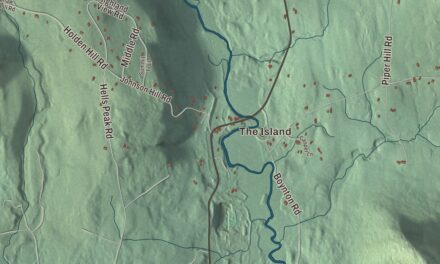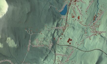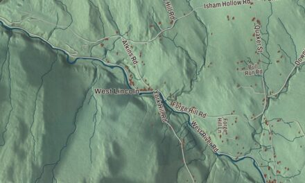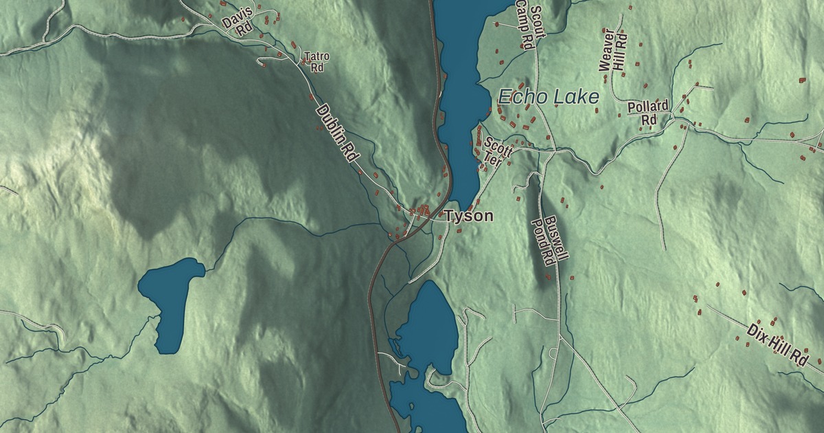
Plymouth is the Green Mountain town where Calvin Coolidge was born, grew up and took the oath as president by lamplight, and where the Black River starts its run past Amherst Lake and Echo Lake. This map prints Salt Ash Road, Kingdom Road, Messer Hill Road, Lynds Hill Road, Bradley Hill Road and Hale Hollow Road, with Tyson, Plymouth Union and Woodward Reservoir.
Plymouth is a town in Windsor County, Vermont.
KNOWOL made this map in 2026 from public survey data and gave it the look of an old county atlas, shading the mountains from United States Geological Survey elevation data and drawing the roads and town line from the Census Bureau. The town covers 48.7 square miles, and 641 people lived here at the 2020 census. Click here to purchase a print of this map for your wall.
Saltash becomes Plymouth
Benning Wentworth, governor of New Hampshire, granted the town on July 6, 1761, under the name Saltash, and New York confirmed the grant in 1772. The town organized in 1787, Moses Priest represented it in the legislature in 1795, and on February 23, 1797, the name was changed to Plymouth. One of the first selectmen was a John Coolidge, a Revolutionary War officer and the great-great-grandfather of the future president. Calvin Galusha Coolidge, the president’s grandfather, farmed here, served as a justice of the peace, constable and selectman, and sat in the Vermont House in 1860 and 1861.
Plymouth Notch and the Coolidges
Calvin Coolidge was born in Plymouth Notch on July 4, 1872, the only president born on Independence Day. His father, John Coolidge, was a farmer and storekeeper who also worked as a blacksmith, mason, harness maker, teacher and insurance broker, held many town offices over the years, and served in both houses of the legislature. Calvin lived at the family homestead from the age of four until 1887, when he left for Black River Academy. He went on to Amherst College and spent most of his life in Northampton, Massachusetts, but he often came home to visit his family. He was at the homestead in August 1923 when word came that President Warren G. Harding had died, and in the early morning hours of August 3 his father, a notary public and justice of the peace, gave him the presidential oath in the family parlor by the light of a kerosene lamp. As president he used rooms in Coolidge Hall as a Summer White House in 1924. He is buried in the Plymouth Notch Cemetery with several generations of his family.
The whole bowl-shaped valley around the village, more than 2,000 acres between Wood Peak, East Mountain, Blueberry Hill, Soltudus Mountain and Mount Tom, is the Plymouth Historic District, and the village itself was named a National Historic Landmark District in 1965. Pinney Hollow Brook runs through it toward the Ottauquechee River, and the notch that gives the village its name lies just to the west, separating it from the Black River valley. The State of Vermont owns the homestead and the village, and the President Calvin Coolidge State Historic Site has returned the buildings, as far as possible, to the way they were when he was president. The parlor where he took the oath still has the lamp, the Bible and the table from that night. The district takes in the Union Christian Church where he worshipped, a general store, a one-room schoolhouse, the Wilder House and barn, and the cheese factory the Coolidge family founded in 1890, which still makes cheese. The old Coolidge store run by his father held the post office in the 1920s, and his stepmother, Carrie, served as postmaster from 1903 to 1917.
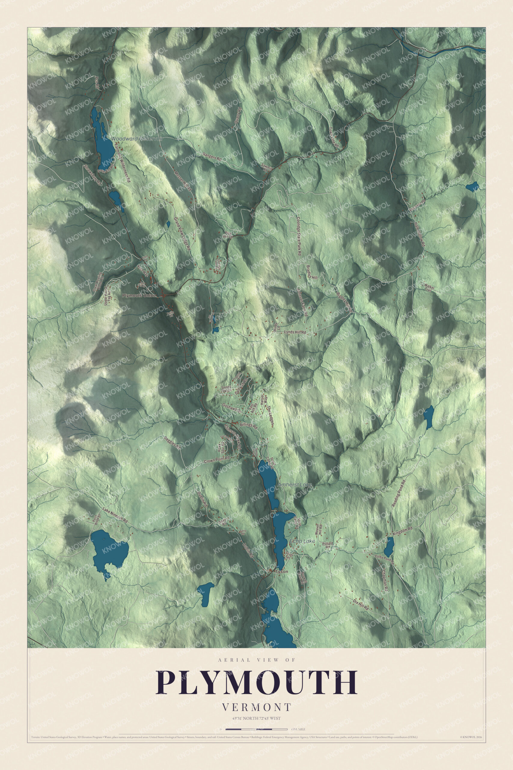
Click to explore a larger preview. The digital watermark does not appear on printed maps.
Names on this map
These names are printed on this map.
Places: Tyson, Plymouth Union, Woodward Reservoir, Echo Lake and Amherst Lake.
Streets and roads: Bradley Hill Road, Hale Hollow Road, Salt Ash Road, Messer Hill Road, Lynds Hill Road, Kingdom Road, Dublin Road, Reading Pond Road, Lake Ninevah Road, Rangers Road, Coolidge State Park Road, Shrewsbury Road.
More street names, A to Z
Anns Way, Bear Hill Road, Billings Road, Bradley Hill, Buswell Pond Road, Chapman Road, Colby Pond Road, Coolidge Farm Road, Crimson Hawk Road, Crown Point Road, Davis Road, Dix Hill Road, East Ash Road, Farm and Wilderness Road, Goshawk Drive, Grand View Lodge Road, Great Roaring Brook Road, Harrier Way, Hawk Pond Road, Hawk Spur Road, Joe Moore Road, Johnson Farm Road, Macawee Road, Paille Road, Patch Brook Road, Pcn Road, Peregrine Road, Pine Lee Road, Pollard Road, Quarry Road, Reggies Road, Ricks Road, Sawmill Road, Scott Terrace, Scout Camp Road, Snowy Owl Lane, Soaring Hawk Road, South End Road, Tatro Road, The Ledges, Town Line Road, Upper Round Top Road, Walker Trail, Weaver Hill Road, Windy Lane.
See it on a wall
The Plymouth map as a framed print. Swipe for more.


Forest, lakes and camps
About 2 miles north of the Notch on Route 100A, Coolidge State Park was built by the Civilian Conservation Corps in the 1930s, with a lean-to campground on the slope of Slack Hill. It’s the main recreation area of the Calvin Coolidge State Forest, and the park’s page calls that forest the largest state forest in Vermont. The Black River begins at Black Pond in Plymouth and winds through Amherst Lake and Echo Lake toward Ludlow; Camp Plymouth State Park, on Echo Lake, is across the line in Ludlow. In 1939 Kenneth and Susan Webb founded Farm & Wilderness, a group of summer camps in and around Plymouth that draws on Quaker values, and four of its camps are on Woodward Reservoir.
Achsa W. Sprague, born in Plymouth Notch in 1827, became a medium and trance lecturer who traveled the United States and Canada in the 1850s, and like most spiritualists of her day she was an abolitionist and an advocate of women’s rights. Esther Sumner Damon began teaching school in Plymouth at seventeen and married a Revolutionary War veteran; she has been cited as the last widow of that war to receive a state pension, and she is buried in the Plymouth Notch Cemetery. Ernest E. Moore, born here in 1881 and related to Coolidge through the president’s mother, became speaker of the Vermont House and in 1934 agreed to lead the effort to place a national memorial to Coolidge in Plymouth.
On the map, start with Tyson, follow Bradley Hill Road, Hale Hollow Road, Salt Ash Road, Messer Hill Road, Lynds Hill Road and Kingdom Road across town, and look out toward Plymouth Union. Woodward Reservoir, Echo Lake and Amherst Lake are printed as well. Plymouth dates to 1761.
This map of Plymouth is made for everyone who calls Plymouth home, and it shows the town as it looks today, from Tyson and Plymouth Union to Woodward Reservoir. Hang it in an office, library or den, or use it to teach children the geography and history of their town. It’s printed on museum quality archival paper. Zoom in on the preview above to explore the details, then click here to get your copy of the Plymouth, Vermont map.

Sources
- Plymouth, Vermont, Wikipedia
- Town histories and representatives, P towns, Vermont Legislature
- Calvin Coolidge, Wikipedia
- John Calvin Coolidge Sr., Wikipedia
- Calvin Galusha Coolidge, Wikipedia
- Coolidge Homestead, Wikipedia
- Plymouth Historic District (Plymouth, Vermont), Wikipedia
- Plymouth Notch, Vermont, Wikipedia
- Coolidge State Park, Wikipedia
- Black River (Connecticut River tributary), Wikipedia
- Camp Plymouth State Park, Wikipedia
- Farm & Wilderness, Wikipedia
- Achsa W. Sprague, Wikipedia
- Esther Sumner Damon, Wikipedia
- Ernest E. Moore, Wikipedia