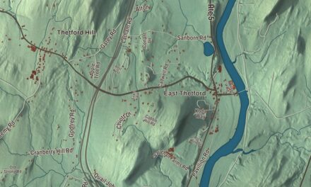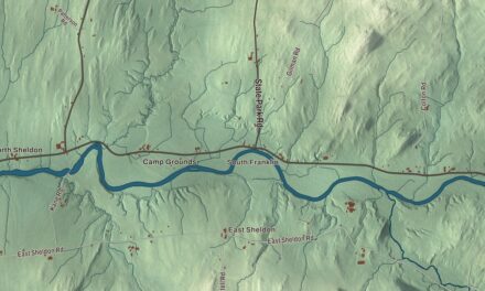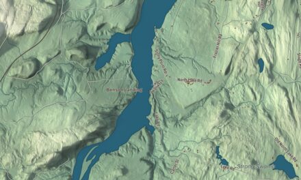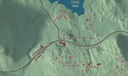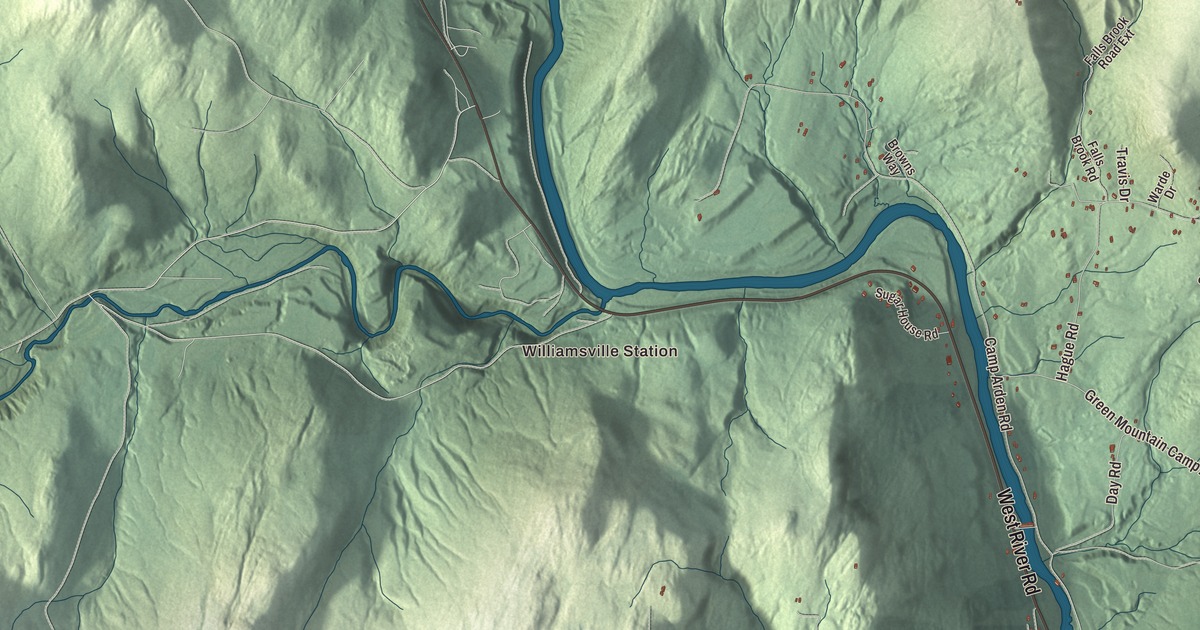
Dummerston is where Rudyard Kipling wrote The Jungle Book, and it’s where the West River runs under the longest covered bridge entirely in Vermont. This map prints the town’s three villages, Dummerston Center, East Dummerston and West Dummerston, along with Williamsville Station and roads like West River Road, Quarry Road, Stickney Brook Road and the Calvin Coolidge Memorial Highway.
Dummerston is a town in Windham County, Vermont.
KNOWOL made this map in 2026 from public survey data and gave it the look of an old county atlas. The hills are shaded from United States Geological Survey elevation data, and the roads and town line come from the Census Bureau. Dummerston covers 30.8 square miles along the Connecticut River, and it had 1,865 people at the 2020 census. Click here to purchase a print of this map for your wall.
From the Equivalent Lands
Dummerston sits on part of the Equivalent Lands, a tract Massachusetts gave the Connecticut Colony around 1715 to make up for land it had mistakenly granted to its own settlers. In 1716 the town was auctioned to a group of buyers that included William Dummer, lieutenant governor of Massachusetts, and it took his name. New Hampshire’s governor, Benning Wentworth, chartered it on December 26, 1753, as Fulham, but when the grant was renegotiated the old name came back, and the town organized as Dummerston on March 4, 1771.
The brooks running down to the West River gave the town its water power. At one time Dummerston had five gristmills, five sawmills, a slate maker and a shop that made rakes, and sheep grazed across its many hills. By 1859 the town had 1,645 people, and the Vermont Valley Railroad ran through it. The town library in West Dummerston began in 1914 with a gift from Lydia Taft Pratt, who had lived and taught in Dummerston.
Kipling’s Naulakha
Rudyard Kipling and his wife, Caroline, fell for this countryside while visiting her family in Brattleboro on their honeymoon in 1892. They bought land from her brother and in 1893 built a long shingled house on Kipling Road that they called Naulakha. Kipling lived there until 1896, and in that house he wrote The Jungle Book, Captains Courageous, The Day’s Work and The Seven Seas. In 1894 Arthur Conan Doyle came to visit, and the two played golf. Naulakha was named a National Historic Landmark in 1993, and the Landmark Trust now rents it out to overnight guests. Down the same road, Scott Farm grew from a dairy farm into an apple orchard and is now home to The Stone Trust, which keeps the craft of dry stone walling alive.
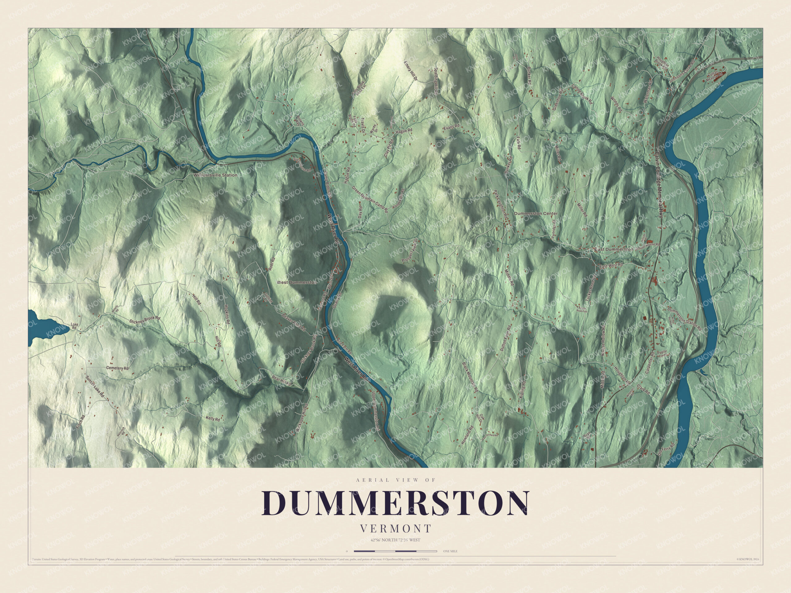
Click to explore a larger preview. The digital watermark does not appear on printed maps.
Names on this map
These names are printed on this map.
Places: Williamsville Station, East Dummerston, West Dummerston and Dummerston Center.
Streets and roads: Calvin Coolidge Memorial Highway, West River Road, Quarry Road, Beaver Pond Road, Houghton Road, Stickney Brook Road, East-West Road, Middle Road, Black Mountain Road, Camp Arden Road, Park Laughton Road, Bunker Road.
More street names, A to Z
Bear Hill Road, Betterly Road, Browns Way, Canoe Brook Road, Carpenter Road, Cemetery Road, Clark Road, Clay Pit Road, Day Road, Dummerston Station Road, Dutton Farm Road, East Orchard Road, Emery Hill Drive, Evans Road, Falk Road, Falls Brook Road, Falls Brook Road Extension, Fisch Road, Greenhoe Road, Green Mountain Camp Road, Hague Road, Hescock Road, Hill Road, Hillside Drive, Hopkins Road, Houghton Brook Road, Howland Road, Johnsons Curve Road, Jones Road, Kathan Meadow Road, Kelly Road, Kipling Road, Knapp Road East, Lake Road, Leonard Road, Leverwood Lane, Miller Road, Nourse Hollow Road, Oak Hill Drive, Old Ferry Road, Partridge Road, Poplar Cmns, Prospect View Drive, Rice Farm Road, Roel Road, Ryan Road, School House Road, Spalding Hill Road, Sugar House Road, Sunrise Lane, Sunset Lake Road, Travis Drive, Tucker Reed Road, Upper Dummerston Road, Vandewater Road, Warde Drive, Waterman Road, West Street, Wheeler Road, Wickopee Hill Road, Winter Bell Pvt, Woods Road.
See it on a wall
The Dummerston map as a framed print. Swipe for more.


Bridges over the West River
The West Dummerston Covered Bridge crosses the West River a short way north of West Dummerston village. Master builder Caleb Lamson built it in 1872 in two spans on a central stone pier, and it’s the longest covered bridge entirely within the state. A little farther south, near Stickney Brook Road, the Rice Farm Road Bridge of 1892 is one of Vermont’s oldest surviving metal truss bridges. It was built mainly to serve George E. Lyon’s granite quarry on the east side of the river. Black Mountain rises steeply from the West River into a horseshoe-shaped ridge, and 1,009 acres of it make up the Black Mountain Conservation Area.
George Aiken, a United States senator and governor of Vermont, was born here, and the author and Motel 6 spokesman Tom Bodett served on the town’s selectboard. On the map, follow West River Road, Quarry Road, Beaver Pond Road, Houghton Road and Stickney Brook Road, with the Calvin Coolidge Memorial Highway printed too. West Dummerston, Dummerston Center, East Dummerston and Williamsville Station are all printed on the map.
This map of Dummerston is made for everyone who calls Dummerston home and shows the town as it looks today, from the covered bridge to Kipling Road. Use it to teach children the geography and history of the town, or hang it in an office, library or den. KNOWOL created it in 2026, and it’s printed on museum quality archival paper. Zoom in on the preview above to explore the details, then click here to get your copy of the Dummerston, Vermont map.

Sources