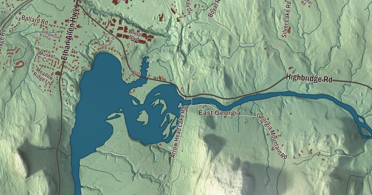
Georgia runs from St. Albans Bay on Lake Champlain east past the interstate, and its old roads still lead to farmhouses from the 1700s. This map prints East Georgia and Oakland, Georgia Center, Georgia Plains, West Georgia, Hubbard Corner and Melville Landing, with the Ethan Allen Highway, Highbridge Road, Silver Lake Road, Plains Road, Stone Bridge Road and Georgia Shore Road.
Georgia is a town in Franklin County, Vermont.
KNOWOL made this map in 2026 from public survey data and gave it the feel of an old county atlas, shading the hills from United States Geological Survey elevation data and taking the roads and town line from the Census Bureau. Georgia fills the southwest corner of Franklin County, with Chittenden County to the south, St. Albans to the north, and the Lamoille River crossing its southeast corner. U.S. Route 7 and Interstate 89 both pass through and meet at Exit 18. Click here to purchase a print of this map for your wall.
A town named for a king
New Hampshire granted Georgia on August 17, 1763, and named it for King George III, a move the town page says was meant to win the king’s favor while New York and New Hampshire both claimed the land that became Vermont. The town organized on March 31, 1788, and James Evarts was its first representative. In the War of 1812, when smuggling was common across Vermont, Georgia’s people blockaded the trade with Canada to support the embargo. It worked so well that smugglers started calling the town “Hell’s Gate.”
Some of the first farmhouses still stand along the printed roads. On the Ethan Allen Highway, which is U.S. Route 7, the Solomon Goodrich Homestead has a back section from about 1786, among the oldest buildings in town, and a brick front added after a brickyard and sawmill opened. On Georgia Shore Road, the Evarts-McWilliams House of about 1799 is called the best preserved Federal period house known in the Franklin County area. On Highbridge Road, the Kemp-Shepard House shows the brickwork of mason Levi N. Kemp from about 1830; part of its farm went under water when Arrowhead Mountain Lake was formed in 1937. In the south-central part of town, Joseph Ballard bought his first 100 acres from Ira Allen in 1788, and the Ballards farmed that land for more than 200 years.
At Georgia Plains, near Plains Road, stands the brick Georgia Plain Baptist Church of 1877, home to a congregation formed in 1793. The congregation ordained Rev. Grace Brooks in 1919, the first woman pastor of any denomination in Vermont. Its longest serving minister, Alvah Sabin, was born in Georgia and was its pastor for 53 years and also served in Congress. On U.S. Route 7 north of the village center, the 1891 Brick School now holds the Georgia Historical Society’s Brick Schoolhouse Museum.
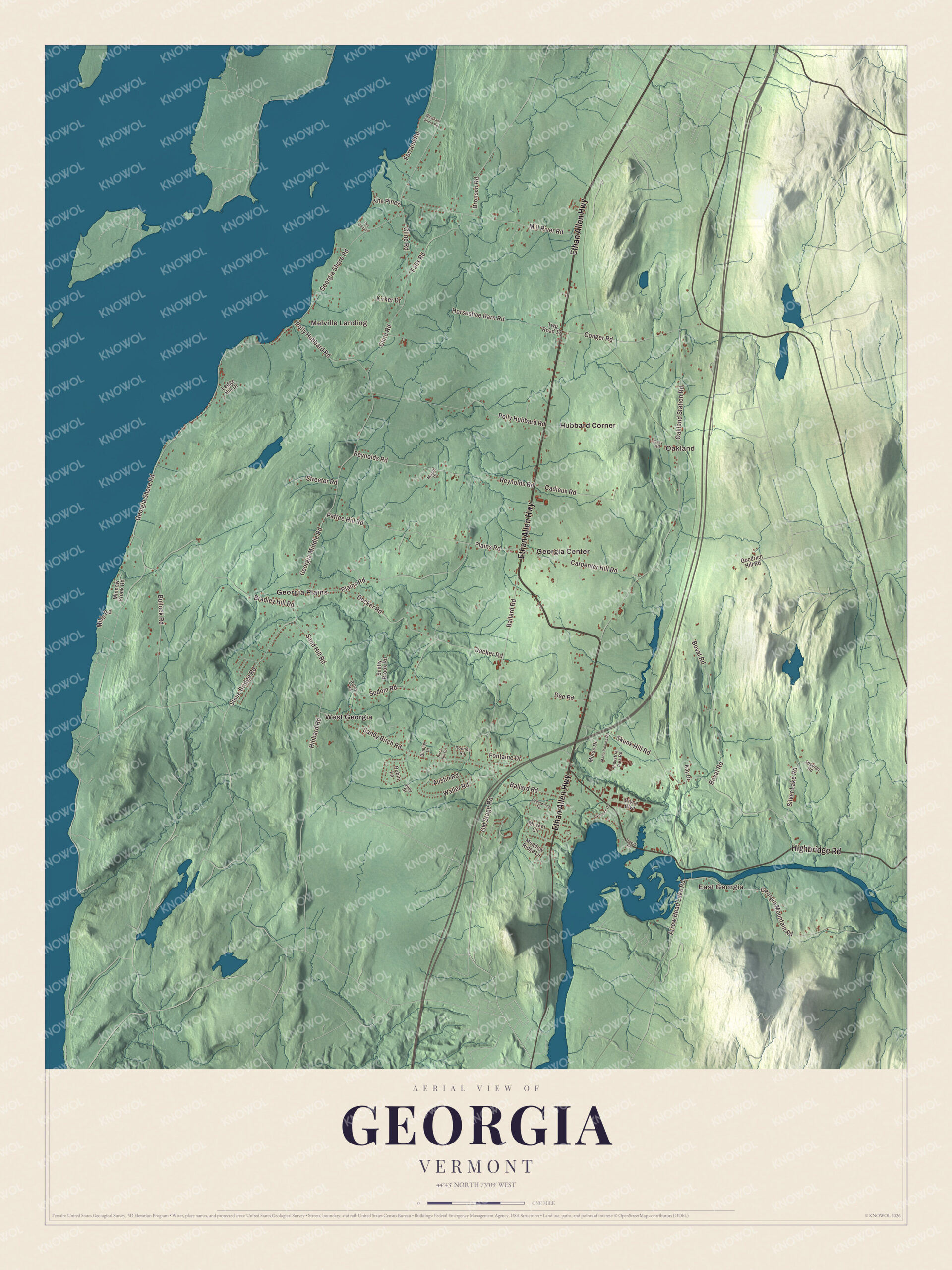
Click to explore a larger preview. The digital watermark does not appear on printed maps.
Names on this map
These names are printed on this map.
Places: East Georgia, Oakland, Melville Landing, Georgia Center, Georgia Plains, Hubbard Corner and West Georgia.
Streets and roads: Ethan Allen Highway, Highbridge Road, Silver Lake Road, Plains Road, Stone Bridge Road, Georgia Shore Road, Oakland Station Road, Polly Hubbard Road, Skunk Hill Road, Ballard Road, Georgia Middle Road, Georgia Mountain Road.
More street names, A to Z
Arrow Head Lake Road, Austin Road, Bates Road, Bingham Shore Road, Birch Hill Drive, Bluejay Drive, Bovat Road, Bradley Hill Road, Bronson Road, Bryce Boulevard, Bullock Road, Cadieux Road, Carpenter Hill Road, Cary Road, Cedarwood Terrace, Cline Road, Conger Road, Decker Road, Dee Road, Falls Road, Ferrand Road, Fontaine Drive, Goodrich Hill Road, Hibbard Road, Horseshoe Barn Road, Industrial Park Road, Judy Drive, Kay Drive, Kirker Drive, Ledge Hill Drive, Maple Drive, Maria Poloma Road, Meadow Ridge Lane, Mill River Road, Mills Road, Minnow Brook Road, Morse Drive, Musket Circle, Old Stage Road, Overlake Drive, Pattee Hill Road, Reynolds Road, Robin Lane, Rounds Road, Sand Hill Road, Sandy Birch Road, Smitty Brook Road, Sodom Road, Spooner Road, Streeter Road, The Cedars, The Pines, Trayah Road, Twp Road 12, Waller Road.
See it on a wall
The Georgia map as a framed print. Swipe for more.


Georgia’s people
George J. Stannard, born in Georgia in 1820 and schooled here, led the 2nd Vermont Brigade at Gettysburg, where it was one of the main defenders against Pickett’s Charge. His statue stands atop the Vermont Memorial on the battlefield. Daniel Bliss, born in Georgia in 1823, founded the American University of Beirut. Gardner Quincy Colton, born here in 1814, pioneered the use of nitrous oxide, or laughing gas, in dentistry. Martha Austin Phelps, born in Georgia in 1870, is described as one of the most skilled women chemists of the first generation in the United States. Mehitable Woods, born on the Lake Champlain shore in Georgia in 1813, became a hero of the Civil War, and Iowa’s governor commissioned her a major. And Jeffrey Brace, a formerly enslaved man who fought in the American Revolution and whose life story was published as a memoir, died in Georgia in 1827.
On the map, start at Georgia Center, then follow the Ethan Allen Highway north and south. Plains Road leads to Georgia Plains, and Stone Bridge Road, Silver Lake Road, Highbridge Road and Georgia Shore Road reach the rest of town. East Georgia and Oakland, West Georgia, Hubbard Corner and Melville Landing are printed too. Georgia dates to 1763.
This map of Georgia is made for everyone who calls Georgia home, and it shows the town as it looks today, from the bay to East Georgia. Hang it in an office, library or den, or use it to teach children the geography and history of their town. It’s printed on museum quality archival paper. Zoom in on the preview above to explore the details, then click here to get your copy of the Georgia, Vermont map.

Sources
- Georgia, Vermont, Wikipedia
- Town histories and representatives, G towns, Vermont Legislature
- Solomon Goodrich Homestead, Wikipedia
- Evarts-McWilliams House, Wikipedia
- Kemp-Shepard House, Wikipedia
- Ballard Farm, Wikipedia
- Georgia Plain Baptist Church, Wikipedia
- Alvah Sabin, Wikipedia
- District No. 8 School, Wikipedia
- George J. Stannard, Wikipedia
- Daniel Bliss, Wikipedia
- Gardner Quincy Colton, Wikipedia
- Martha Austin Phelps, Wikipedia
- Mehitable E. Woods, Wikipedia
- Jeffrey Brace, Wikipedia