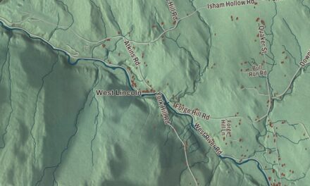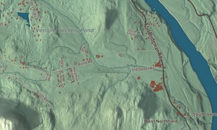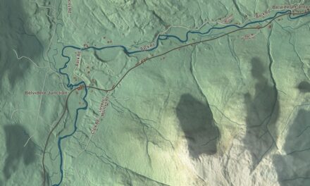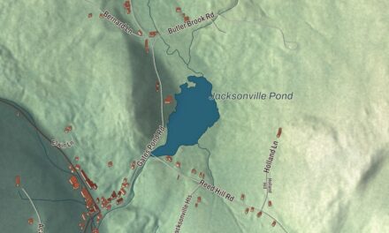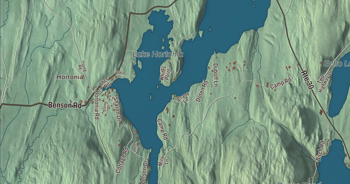
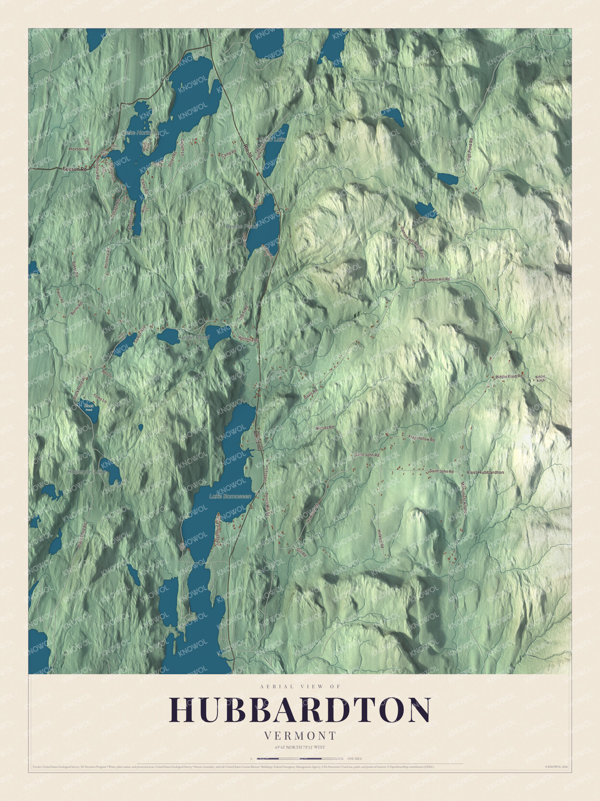
Hubbardton is a town of lakes and 735 people, and on a July morning in 1777 it was the scene of the Battle of Hubbardton. This map prints Lake Hortonia, Beebe Pond, Echo Lake and Austin Pond, with Hortonia and East Hubbardton, and roads such as Benson Road, Hortonia Road, Black Pond Road, Anderson Drive, Saint John Road and Biddie Knob Road.
Hubbardton is a town in Rutland County, Vermont.
KNOWOL made this map in 2026 from public survey data and gave it the look of an old county atlas, shading the hills from United States Geological Survey elevation data and drawing the roads and town line from the Census Bureau. Water covers about 1.3 of Hubbardton’s 28.9 square miles, and the town page names Lake Hortonia and Beebe Pond as two of its larger lakes. Click here to purchase a print of this map for your wall.
The rear guard at Hubbardton
New Hampshire granted Hubbardton on June 15, 1764, and named it for Thomas Hubbard, a landholder. Thirteen years later the war reached the town. Early in July 1777, the American army under General Arthur St. Clair pulled out of Fort Ticonderoga and marched hard through Hubbardton toward Castleton, most of it covering 30 miles before making camp. Colonel Seth Warner and the Green Mountain Boys stayed behind with Colonel Ebenezer Francis’s Massachusetts regiment and Colonel Nathan Hale’s New Hampshire regiment as the rear guard, camped in a defensive position on Monument Hill.
On the morning of July 7, British troops under General Simon Fraser caught up with them. The Americans fought from Monument Hill and turned back several British attacks before German reinforcements under General Friedrich Adolf Riedesel arrived and scattered them. The battle page says the fight cost the British enough that they gave up chasing the main American army, and it calls Hubbardton the only battle fought in Vermont during the Revolution, since the Battle of Bennington took place in what’s now New York. A monument went up on the field in 1859, the state began buying the battlefield land in the 1930s, and Vermont has run it as the Hubbardton Battlefield State Historic Site since 1937. It’s on the National Register, and Revolutionary War reenactments are held there every year.
Click to explore a larger preview. The digital watermark does not appear on printed maps.
Names on this map
These names are printed on this map.
Places: Hortonia, East Hubbardton, Lake Hortonia, Beebe Pond, Echo Lake, Austin Pond, Halfmoon Lake, Black Pond and Lake Bomoseen.
Streets and roads: Benson Road, Route 30, Hortonia Road, Black Pond Road, Anderson Drive, Saint John Road, Biddie Knob Road, Monument Hill Road, Baker Road, High Pond Road, Camp Road, Howland Road.
More street names, A to Z
Biddie Knob, Birch Road, Bobs Drive, Burns Road, Columbia Drive, Cottage Road, Crane Lane, Davis Road, Desna Lane, Doten Road, Duboff Lane, Frog Hollow Road, Ganson Hill Road East, Gill Road, Heede Lane, Hinkley Road, Jasons Way, Ledgemere Point, Lhcs Road, Maple Lane, Miller Lane, Murphy Drive, Old Ti Road, Pencil Mill Road, Seth Warner Memorial Highway, Sharon Drive, Six Bux Way, Space Drive, Stony Drive, Toms Lane, Twp Highway 10, West Road, Whites Point, Woods Road, Young Road.
See it on a wall
The Hubbardton map as a framed print. Swipe for more.


The town organized on March 22, 1785, and David Hickock went to the legislature as its first representative in 1786. Horace Holmes Thomas, born in Hubbardton in 1831, studied at Middlebury College, moved to Chicago, served as a Union officer in the Civil War and became Speaker of the Illinois House of Representatives in 1880.
On the map, follow Hortonia Road, Benson Road, Black Pond Road and Saint John Road. Anderson Drive and Biddie Knob Road are printed too. Hortonia and East Hubbardton are printed, and so are Lake Hortonia, Beebe Pond, Echo Lake and Austin Pond. Hubbardton dates to 1764.
This map of Hubbardton is made for everyone who calls Hubbardton home, and it shows the town as it looks today, from Lake Hortonia to East Hubbardton. Hang it in an office, library or den, or use it to teach children the geography and history of their town. It’s printed on museum quality archival paper. Zoom in on the preview above to explore the details, then click here to get your copy of the Hubbardton, Vermont map.

Sources