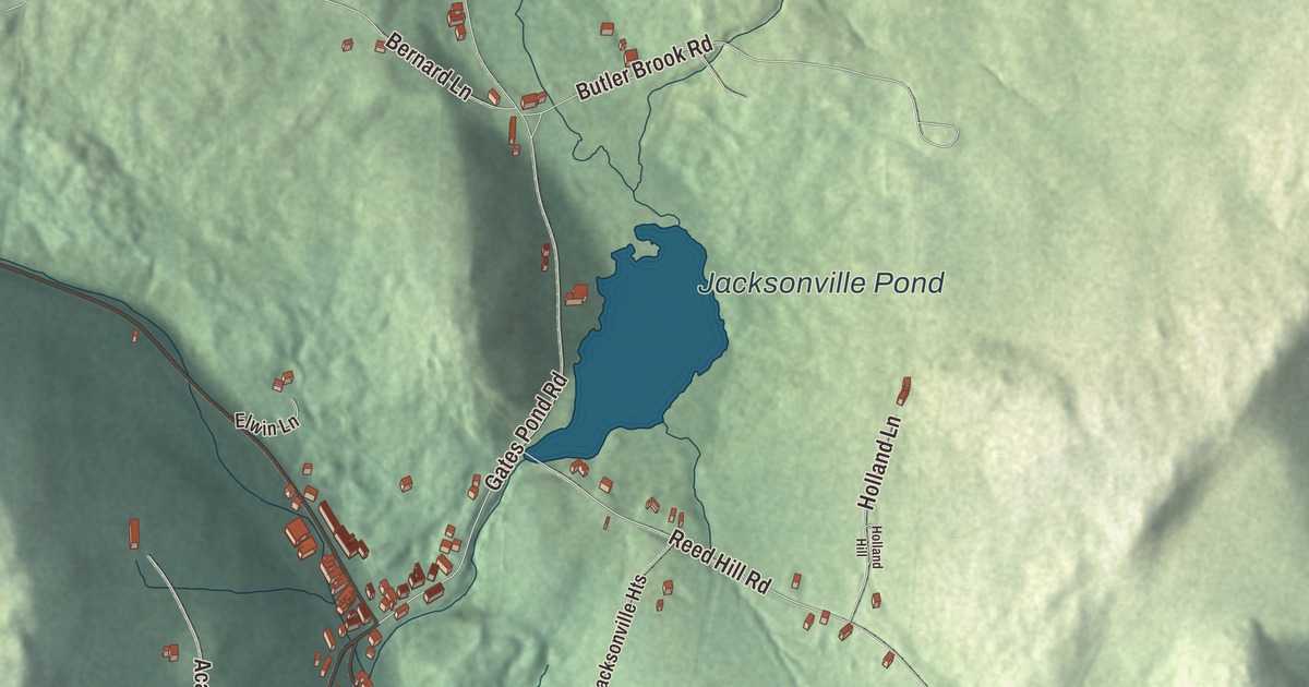
Jacksonville has a general store, a bakery and a creamery, and the Whitingham town office goes by a Jacksonville address. This map prints High Street, Academy Lane and Bernard Lane, along with Gates Pond Road, Reed Hill Road, Butler Brook Road and Jacksonville Pond.
Jacksonville is a village in Windham County, Vermont.
KNOWOL made this map in 2026 from public survey data and gave it the look of an old county atlas, shading the hills from United States Geological Survey elevation data and drawing the roads and village line from the Census Bureau. Jacksonville is an incorporated village within the town of Whitingham, and it has its own incorporated-place boundary, about 1.2 square miles, nearly all of it land. Click here to purchase a print of this map for your wall.
Whitingham’s village
The village remains active today, home to 213 people at the 2020 census. Whitingham’s town office stands at 2948 Vermont Route 100 in Jacksonville, and the town’s website lists the Jacksonville General Store, Spoonwood Cabin Creamery and North River Bakery here in the village. Jacksonville Electric Co. is the municipal electric company for Jacksonville and Whitingham. A gas station and convenience store sits on Route 112 in the village, and Fieldstone Artistry, a studio that builds furniture by hand from locally harvested lumber, works here too.
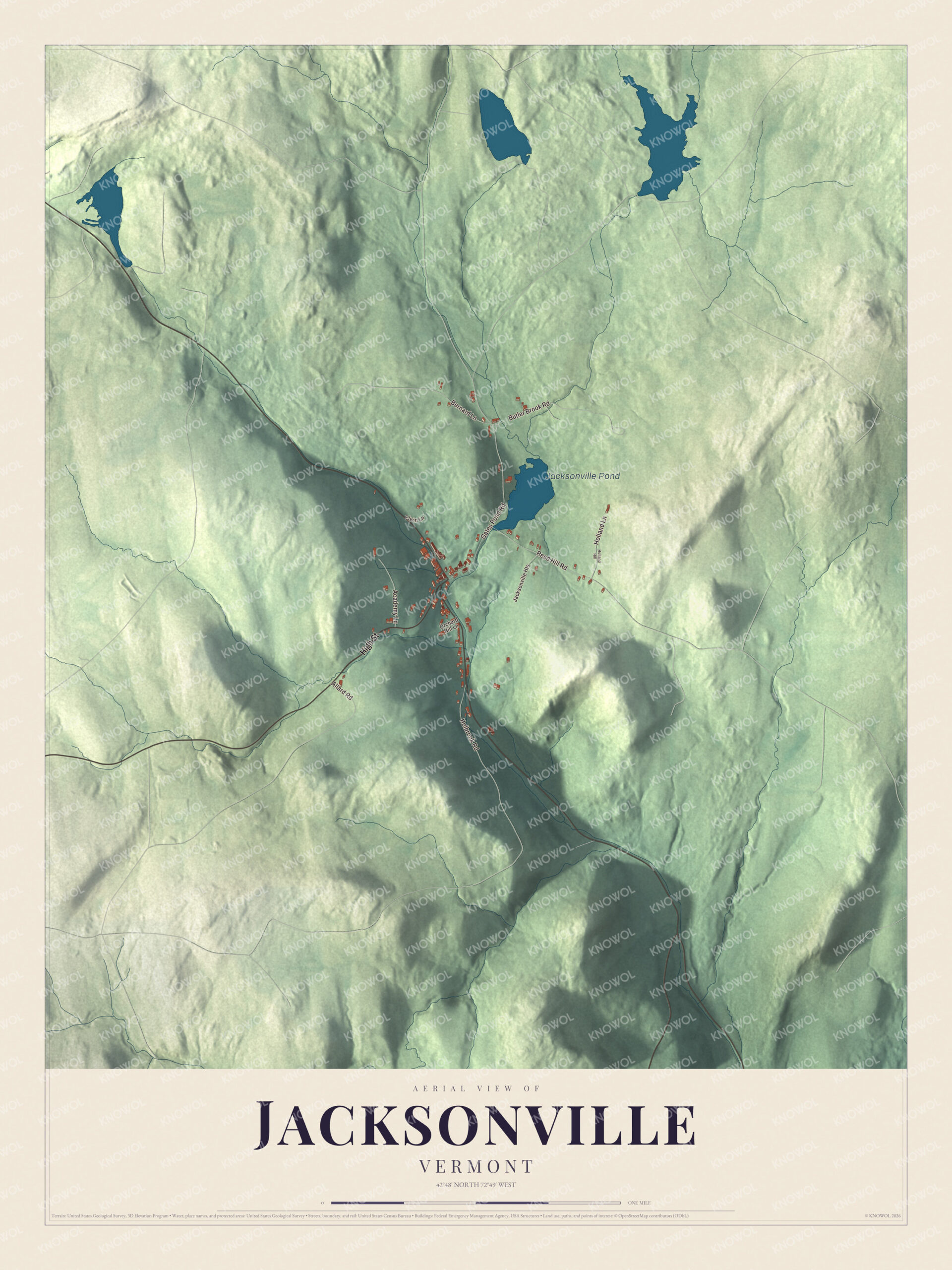
Click to explore a larger preview. The digital watermark does not appear on printed maps.
Names on this map
These names are printed on this map.
Places: Jacksonville Pond.
Streets and roads: High Street, Gates Pond Road, Reed Hill Road, Bernard Lane, Academy Lane, Butler Brook Road, Holbrook Road, Holland Lane, Allard Road, Jacksonville Heights, Elwin Lane, Orchard Hill Lane.
More street names, A to Z
Holland Hill.
See it on a wall
The Jacksonville map as a framed print. Swipe for more.


Whitingham is named for Nathan Whiting, a landholder, and the town’s own site says it was founded in 1770. It sits high in the Green Mountains of southern Vermont on the Massachusetts line, and the Harriman Reservoir, which the town calls an 8-mile-long lake, lies within it. Brigham Young, the second president of the LDS Church and the founder of Salt Lake City, was born in Whitingham in 1801. Old Home Week is a Whitingham tradition, and in 2026 it ran from July 24 to 26 with parades, games, fireworks and history displays.
On the map, start on High Street, then follow Academy Lane, Bernard Lane, Gates Pond Road, Reed Hill Road and Butler Brook Road. Jacksonville Pond is printed too.
This map of Jacksonville is made for everyone who calls Jacksonville home, and it shows the village as it looks today, from High Street to Jacksonville Pond. Hang it in an office, library or den, or use it to teach children the geography and history of their village. It’s printed on museum quality archival paper. Zoom in on the preview above to explore the details, then click here to get your copy of the Jacksonville, Vermont map.

Sources