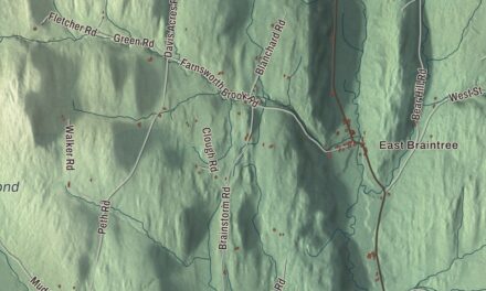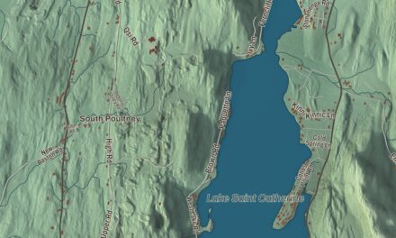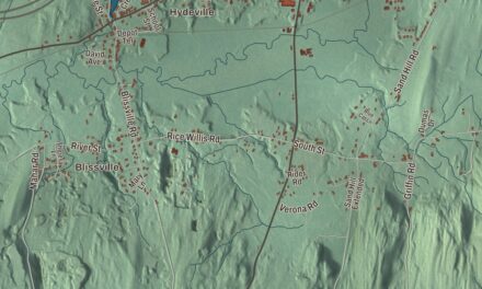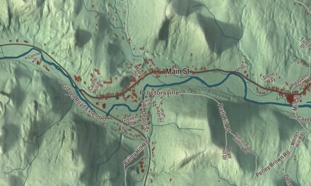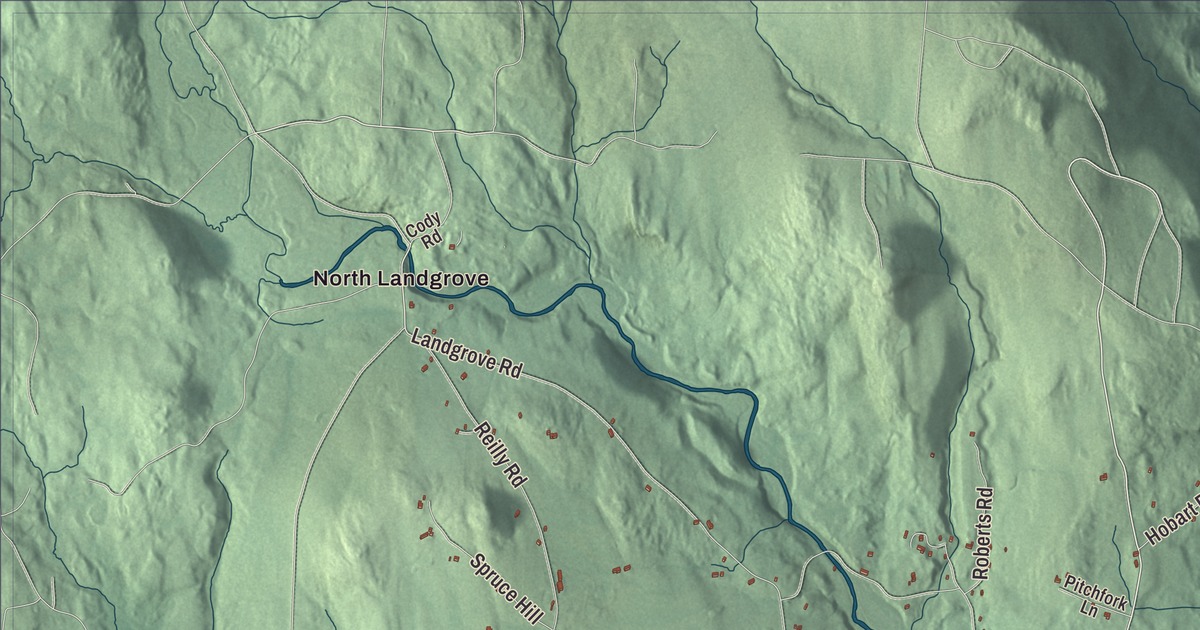
Londonderry is a West River town with two villages, Londonderry up the valley and South Londonderry below it, and a place in the history of snowboarding. This map prints River Road, Winhall Hollow Road, Mountain Lake Road, Hells Peak Road, Boynton Road and Loon Circle, with South Londonderry, Thompsonburg and Sherwood Forest, the West River, Lowell Lake and Lily Pond.
Londonderry is a town in Windham County, Vermont.
KNOWOL made this map in 2026 from public survey data and gave it the look of an old county atlas, shading the hills from United States Geological Survey elevation data and drawing the roads and town line from the Census Bureau. The town covers 35.9 square miles, bounded by Landgrove and Weston on the north, Windham on the east, Jamaica on the south, and Winhall and Landgrove on the west. Click here to purchase a print of this map for your wall.
From Kent to Londonderry
The first grant here came from New York on February 13, 1770, to Colonel James Rogers, and the township was called Kent. It took in what is now Windham as well. Vermont granted the town again under its new name, Londonderry, after Londonderry in New Hampshire, which was itself named for Londonderry in Ireland. The town’s page gives that charter as April 20, 1780, and the Legislature’s list has the Vermont grant on April 21, 1781. The town had organized before April 1775, and Edward Aiken represented it in the legislature from 1778 to 1789.
South Londonderry grew up on both sides of the West River, where the river’s drop gave water power to early mills and shops. Most of the village was built between about 1806 and 1860, and three dams once crossed the river there. Houses line the river in long rows, held close by the steep hillsides, with Main Street on the north bank and Winhall Hollow Road and West River Road on the south. The village center is the South Londonderry Village Historic District, with two 19th-century churches, two former schools and the Londonderry Town House. The town hall was built in 1860 on Middletown Road, and by the late 1800s it doubled as a stage for traveling and local theater. Its canvas stage curtain shows a scene of the Rhine River, and the town still holds its annual town meeting there.
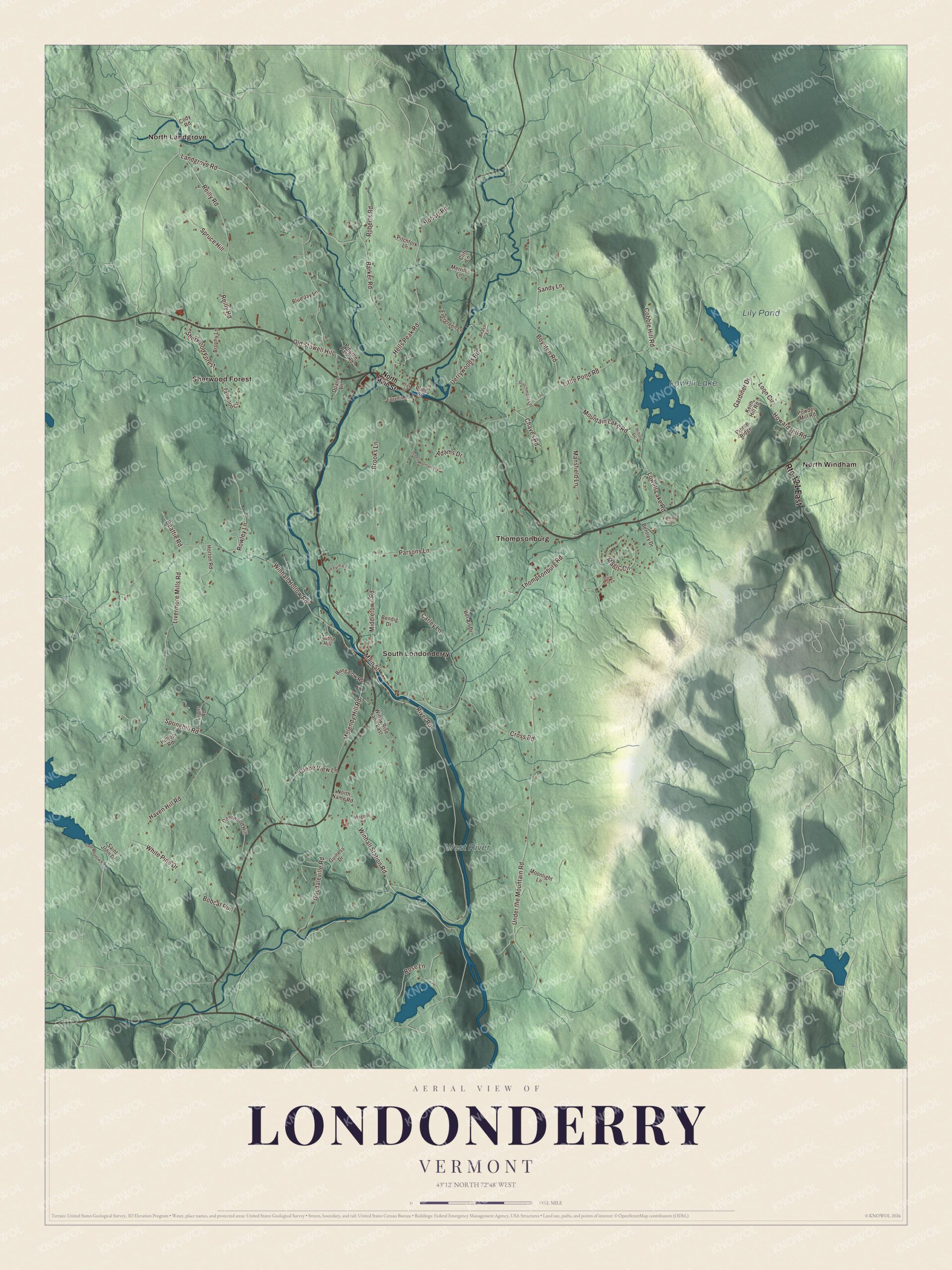
Click to explore a larger preview. The digital watermark does not appear on printed maps.
Names on this map
These names are printed on this map.
Places: Lowell Lake, Lily Pond, West River, North Landgrove, North Windham, Sherwood Forest, South Londonderry and Thompsonburg.
Streets and roads: Route 121 East, Hells Peak Road, River Road, Loon Circle, Mountain Lake Road, Winhall Hollow Road, Boynton Road, Landgrove Road, Lowell Lake Road, Under the Mountain Road, Springhill Road, Middletown Road.
More street names, A to Z
Adams Drive, Barker Road, Beattie Road, Beaver Lane, Bel Air Drive, Bendig Drive, Bentley Drive, Blue Jay Lane, Bobcat Run, Brooks Lane, Brophy Lane, Bungalow Road, Carley Lane, Chaves Road, Cliff Lane, Cobble Hill Road, Cody Road, Cross Road, Deerwood Hill, Derrywoods Road, Doane Lane, Dutchmans Lane, Edgehill Road, Evergreen Lane, Gale Meadow Road, Gardiner Drive, Glebe View Lane, Goodaleville Road, Green Mountain Trail, Guiness Drive, Haven Hill Road, High Street, Hilltop Road, Hilton Lane, Hobart Road, Horton Road, Howard Hill Road, Keith Hill Road, Little Pond Road, Livermore Mills Road, Lyons Road, Magic Circle, Magoon Road, Main Street, Mansfield Lane, Melendy Hill Road, Merrill's Lane, Moonlight Lane, North Main Street, North Name Road, Old Farm Road, Old Stowell Hill, Parsons Lane, Pierce Ridge, Pingree Park Road, Pitchfork Lane, Pond Street, Powder Mill Road, Reilly Road, Roberts Road, Rose Lane, Rowley Lane, Saint John Drive, Sandy Lane, Snow Drift Lane, Spruce Hill, Tallwood Circle, Thompsonburg Road, Tuttle Hill, Vartland Ridge, White Pine Drive, Windy Rise Lane East, Winhall Station Road.
See it on a wall
The Londonderry map as a framed print. Swipe for more.


Up the valley, Vermont Routes 11 and 100 share Londonderry village’s Main Street, where Utley Brook joins the West River. Route 11 runs east 14 miles to Chester and west over the Green Mountains to Manchester Center, and Route 100 runs south 2.5 miles to South Londonderry and on to Jamaica.
Snow
In 1960 the ski instructor and filmmaker Hans Thorner opened Magic Mountain on Glebe Mountain, because the terrain reminded him of his native Swiss Alps. With Stratton and Bromley it made up the original “Golden Triangle” of ski areas within 10 miles of each other. Magic closed in 1991, reopened in 1997, and in 2016 a group led by a local Magic skier bought it and put over $2 million into snowmaking, lifts and the lodge. In 1977 Jake Burton Carpenter moved to Londonderry and made the first Burton snowboards here by hand, before the company moved to Manchester in 1978. He met his wife, Donna, at a New Year’s Eve party at the Mill Tavern in Londonderry in 1981.
Ross Powers, who hails from South Londonderry, won Olympic gold in the halfpipe at the 2002 Winter Games, leading a U.S. sweep of the event. Long before him, Janette Hill Knox was born in Londonderry in 1845. She became a teacher, writer and suffragist, and for eleven years led the New Hampshire Woman’s Christian Temperance Union.
On the map, follow River Road and Winhall Hollow Road along the West River, then take Mountain Lake Road, Hells Peak Road, Boynton Road and Loon Circle. South Londonderry, Thompsonburg and Sherwood Forest are printed, and so are Lowell Lake and Lily Pond. Lowell Lake State Park circles the 102-acre lake with a trail about 3.5 miles long that passes a Revolutionary War era cemetery. North Windham and North Landgrove are printed too. North Landgrove belongs to the neighboring town of Landgrove. Londonderry dates to 1780.
This map of Londonderry is made for everyone who calls Londonderry home, and it shows the town as it looks today, from the West River to Lowell Lake. Hang it in an office, library or den, or use it to teach children the geography and history of their town. It’s printed on museum quality archival paper. Zoom in on the preview above to explore the details, then click here to get your copy of the Londonderry, Vermont map.

Sources
- Londonderry, Vermont, Wikipedia
- Town histories and representatives, L towns, Vermont Legislature
- South Londonderry Village Historic District, Wikipedia
- Londonderry Town House, Wikipedia
- South Londonderry, Vermont, Wikipedia
- Londonderry (CDP), Vermont, Wikipedia
- Lowell Lake State Park, Wikipedia
- Magic Mountain Ski Area, Wikipedia
- Burton Snowboards, Wikipedia
- Jake Burton Carpenter, Wikipedia
- Ross Powers, Wikipedia
- Janette Hill Knox, Wikipedia
- Landgrove, Vermont, Wikipedia