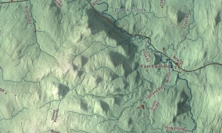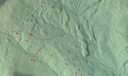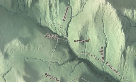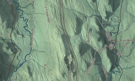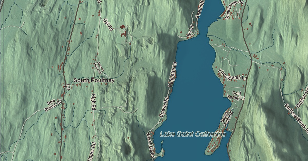
Poultney sits on the New York line in the slate country west of the Taconic Mountains, with two villages, Poultney and East Poultney, the Poultney River and Lake Saint Catherine. This map prints East Main Street, Beaman Street, Grove Street, South Street, Lake Road and Highland Gray Road, with South Poultney, Gorhamtown, Lake Saint Catherine and Lily Pond.
Poultney is a town in Rutland County, Vermont.
KNOWOL made this map in 2026 from public survey data and gave it the look of an old county atlas, shading the hills from United States Geological Survey elevation data and drawing the roads and town line from the Census Bureau. The town covers 44.8 square miles, and 3,020 people lived here at the 2020 census. Click here to purchase a print of this map for your wall.
Ashley and Allen
Benning Wentworth, governor of New Hampshire, chartered Poultney on September 21, 1761, and named it for William Pulteney, 1st Earl of Bath, a British politician and orator. Nobody settled until Thomas Ashley and Ebenezer Allen, brothers-in-law who had married sisters from Windham County, Connecticut, built a cabin near the Poultney River on February 15, 1771. Six of Ashley’s brothers followed within two years. When General John Burgoyne’s army came down from the north in 1777, the men went off to fight and the women and children left town on July 8; most families went back to their old homes in Massachusetts and Connecticut and returned the spring after Burgoyne’s defeat. The town organized on March 8, 1775, William Ward represented it in the legislature from 1778 to 1780, and Thomas Ashley went to the General Assembly six times between 1787 and 1801. Ebenezer Allen moved on to South Hero in 1783.
Jeffrey Brace was born Boyrereau Brinch in West Africa and taken from his home as a boy. A formerly enslaved man, he served under Return Meigs in the Revolutionary War, fought at White Plains and Fort Mifflin, and received an honorable discharge with a Badge of Merit at West Point in 1783. After the war he won his freedom and settled in Poultney, where he married Susannah Dublin, a free African-born widow; the town’s page calls him its first African-American citizen. His life story was published by Benjamin Prentiss.
East Poultney and the printers
East Poultney was the original town center. Its historic district, listed in 1978, is built around a triangular green bounded by Bird Street, On The Green and East Main Street, and the local builder Elisha Scott, whose work is found throughout the district, designed the Federal East Poultney Baptist Church of 1805 on the green. Around it stand the Union Academy of 1791, perhaps the oldest surviving schoolhouse in Rutland County according to the district’s page, the Eagle Tavern, which Ethan Allen and his Green Mountain Boys frequented, according to the same page, St. John’s Episcopal Church of 1832, a blacksmith shop of about 1810 that the Poultney Historical Society now uses as a museum, the Queen Anne schoolhouse of 1896 and the Horace Greeley House of 1823.
In 1826, at fifteen, Horace Greeley came to East Poultney as a printer’s apprentice to Amos Bliss at the Northern Spectator, and he stayed until 1830; he went on to found the New-York Tribune. George Jones, born in Poultney in 1811, also worked at the Northern Spectator. Years later he met Henry Jarvis Raymond while both worked for Greeley’s Tribune, and in 1851 the two started the New-York Daily Times, now The New York Times. When an associate of Boss Tweed offered Jones $5 million to keep a story out of the paper, he refused and ran it. Heman Allen, born in Poultney in 1779, became the first United States minister to Chile, and Marcellus Jones, born here in 1830, is reported to have fired the first shot of the Battle of Gettysburg.
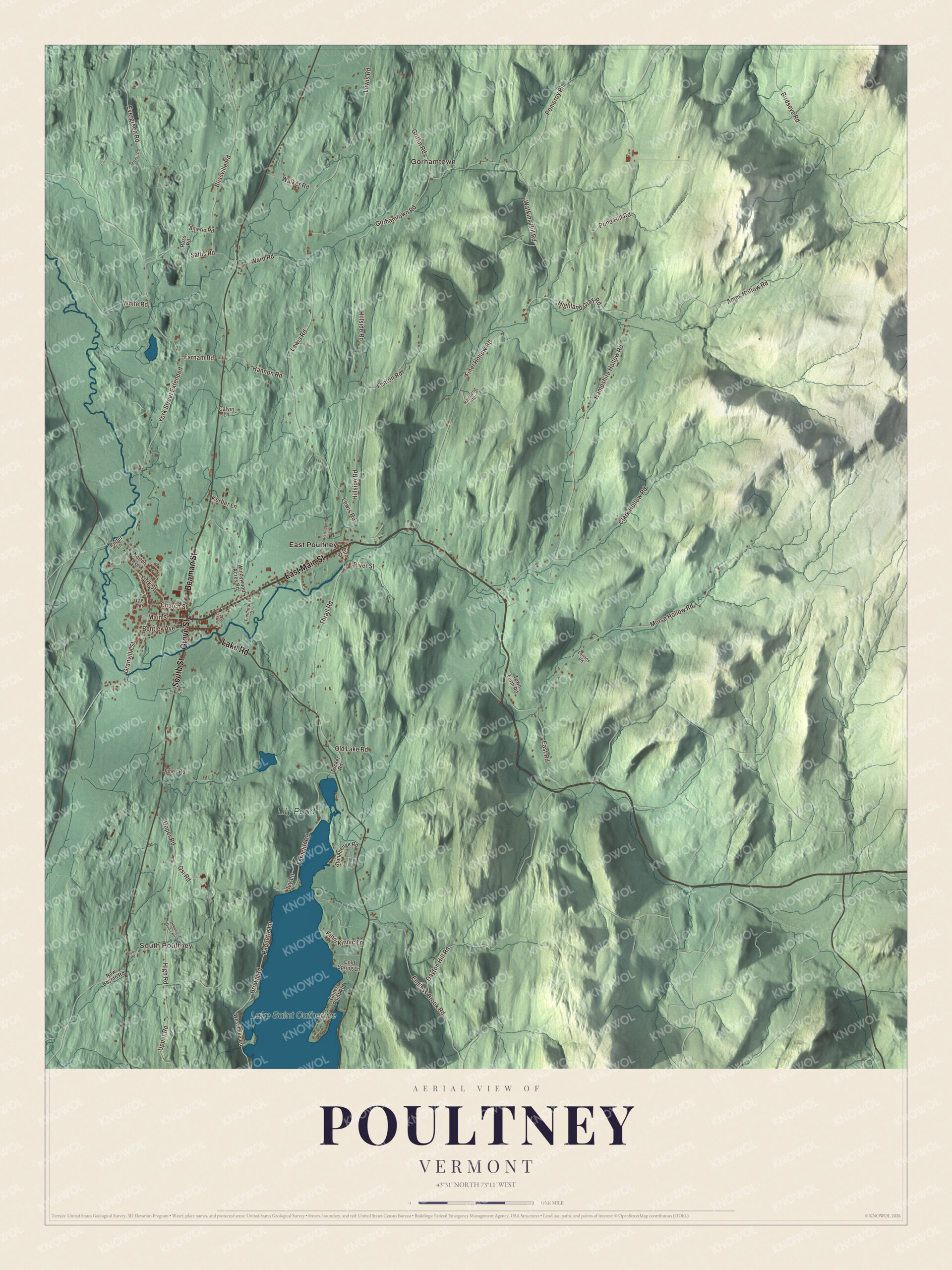
Click to explore a larger preview. The digital watermark does not appear on printed maps.
Names on this map
These names are printed on this map.
Places: South Poultney, Gorhamtown, Lake Saint Catherine, Lily Pond and East Poultney.
Streets and roads: East Main Street, Beaman Street, Grove Street, South Street, Lake Road, Highland Gray Road, Pond Hill Road, Watkins Hill Road, Ames Hollow Road, Thrall Road, Brown Road, Saltis Road.
More street names, A to Z
Amerio Road, Bentley Avenue, Birdseye Road, Bird Street, Blissville Road, Calvin Lane, Church Street, Clark Hollow Road, Cold Spring Lane, Cones Point Road, Dayton Hill Road, Debonis Quary Road, East Road, Endless Brook Road, Evergreen Road, Farnam Road, Fenton Road, Ferncliff Road, Fieldstone Drive, Finel Hollow Road, Furnace Street, Gorhamtown Road, Granville Street, Griffin Road, Hampshire Hollow Road, Hannon Road, High Road, Hillside Road, Ivy Lane, Jones Road, Kerber Lane, Kinni Kinnic Lane, Lennox Road, Lewis Road, Main Street, Morse Hollow Road, New Boston Road, Norton Avenue, Old Lake Road, Paquette Lane, Partridge Lane, Pomeroy Place, Potter Lane, Qsi Road, Rae Terrace, Raymond Road, River Street, Ross Road, Ruby Road, Sawmill Road, Stonehenge Road, Town Farm Road, Tucker Road, Upper Road, Walker Road, Ward Road, West Lake Road, White Road, Windywood Acres Road, York Street, York Street Extended.
See it on a wall
The Poultney map as a framed print. Swipe for more.


West Poultney grows
By 1800 the town had two village centers, and the western one, Poultney village, came to dominate. Its Main Street was laid out inside a bend of the Poultney River, and the stagecoach road between Burlington and Albany crossed it at Beaman Street and Grove Street. The Rutland and Washington Railroad and the slate quarries added to its importance, and the slate industry lasted until the Great Depression. Slate drew immigrants from many countries, Wales among them. The Poultney Main Street Historic District runs along Main Street and East Main Street from College Avenue to St. Raphael’s Catholic Church, mostly in Italianate and Colonial Revival styles, and the brick Poultney Central School of 1885 stands back from Main Street behind a small park. From Grove Street the road south crosses the Poultney River on the South Street Bridge, a steel truss of 1923, and becomes South Street. North of the villages on Route 30, the Hosford-Sherman Farm dates to the late 1700s; Reuben Hosford bought it in 1790 and also ran a tavern on the road.
Green Mountain College began in 1834 as Troy Conference Academy, a coeducational Methodist school, and for part of its history it was a women’s college. In the late 1990s it turned its teaching toward the environment, and it closed after the 2018 to 2019 school year. Its choir was said to have the only fully Welsh repertoire in the United States. The designer Amsale Aberra came from Ethiopia to Poultney at nineteen to study commercial art there. Oreola Williams Haskell, born in Poultney in 1875, became a suffrage activist and writer in New York.
Poultney shares Lake Saint Catherine, about 800 acres, with the town of Wells. Lake St. Catherine State Park, on the north end of the lake, opened for picnics and swimming in 1953. On the map, start with South Poultney and Gorhamtown, follow East Main Street, Beaman Street, Grove Street, South Street, Lake Road and Highland Gray Road across town, and look out toward East Poultney. Lake Saint Catherine and Lily Pond are printed as well. Poultney dates to 1761.
This map of Poultney is made for everyone who calls Poultney home, and it shows the town as it looks today, from the green at East Poultney to Lake Saint Catherine. Hang it in an office, library or den, or use it to teach children the geography and history of their town. It’s printed on museum quality archival paper. Zoom in on the preview above to explore the details, then click here to get your copy of the Poultney, Vermont map.

Sources
- Poultney (town), Vermont, Wikipedia
- Town histories and representatives, P towns, Vermont Legislature
- Jeffrey Brace, Wikipedia
- East Poultney Historic District, Wikipedia
- Horace Greeley, Wikipedia
- George Jones (publisher), Wikipedia
- Heman Allen (diplomat), Wikipedia
- Marcellus Jones, Wikipedia
- Poultney Main Street Historic District, Wikipedia
- Poultney Central School, Wikipedia
- South Street Bridge (Poultney, Vermont), Wikipedia
- Hosford-Sherman Farm, Wikipedia
- Green Mountain College, Wikipedia
- Amsale Aberra, Wikipedia
- Oreola Williams Haskell, Wikipedia
- Lake St. Catherine State Park, Wikipedia