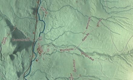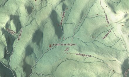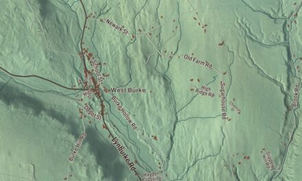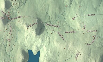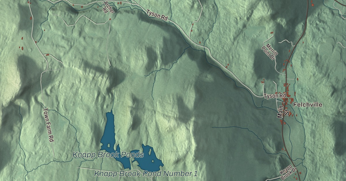
Reading is a Windsor County town strung along Route 106, from Felchville, its principal village, north through Hammondsville toward Woodstock. This map prints Tyson Road, Stone Chimney Road, Hodgeinson Road, Kittridge Pasture Road, Walker Trail and Mount Moses Trail, with Felchville, South Reading, Hammondsville, Bailey Mills, Reading Pond and Knapp Brook Ponds.
Reading is a town in Windsor County, Vermont.
KNOWOL made this map in 2026 from public survey data and gave it the look of an old county atlas, shading the hills from United States Geological Survey elevation data and drawing the roads and town line from the Census Bureau. The town covers 41.7 square miles, and 687 people lived here at the 2020 census. Click here to purchase a print of this map for your wall.
The birth on Knapp Brook
In late August 1754, at the start of the French and Indian War, Abenaki raiders attacked the Fort at Number 4 in Charlestown, New Hampshire, and took Captain James Johnson, his wife Susannah Willard Johnson, their children and several others captive. On the march north, in the wilderness of what is now Reading, Susannah gave birth to a daughter about half a mile up Knapp Brook and named her Elizabeth Captive Johnson. All of the captives were eventually ransomed to French residents of Montreal, and they were home by 1760. Susannah published an account of the ordeal in 1796, and it became among the most widely read accounts of its kind. In 1799 she had a stonecutter carve two slate markers, one for the birthplace and one for the nearby camp. Known as the Indian Stones, they were set in a single granite slab in 1918 by one of her descendants and stand at a roadside pullout on Route 106 at Knapp Brook Road. Their National Register listing calls them the oldest commemorative markers in the state and among the oldest in the United States.
New Hampshire granted Reading on July 6, 1761, New York confirmed the grant in 1772, and the town organized on March 30, 1780. Andrew Spear was its first representative in the legislature, in 1779.
Felchville and the stone schoolhouse
Felchville, the main village, was named for the businessman William Felch, and a post office by that name ran from 1830 to 1922. The Reading Town Hall stands at Route 106 and Pleasant Street in Felchville. Wallace F. Robinson, a Reading native who succeeded in business in Boston, paid for it and later gave an endowment for its upkeep, and its barn-like Colonial Revival design with a gambrel roof is unusual among the state’s town halls. It has been a center of civic life since it was built in the 1910s. Just west of South Reading village, at Tyson and Bartley Roads, the South Reading Schoolhouse was built in 1834, probably by Clark Wardner and John Adams, in the “snecked masonry” style of southern Windsor County, a rubble wall faced with upright slabs of split granite. The method is believed to have come with Scottish masons in the early 1830s, and this schoolhouse is the oldest known building of the style still standing. Children went to school in it until 1970.
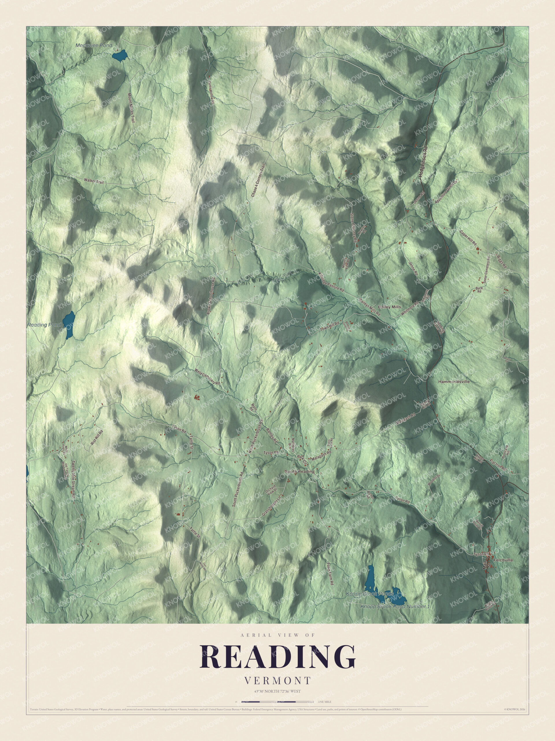
Click to explore a larger preview. The digital watermark does not appear on printed maps.
Names on this map
These names are printed on this map.
Places: Felchville, Hammondsville, South Reading, Bailey Mills, Knapp Brook Ponds, Knapp Brook Pond Number 1, Reading Pond and Mecawee Pond.
Streets and roads: Hodgeinson Road, Stone Chimney Road, Walker Trail, Kittridge Pasture Road, Chase 4 Corners Trail, Mount Moses Trail, Tyson Road, North Puckerbrush Road, Riggs Road, Brown Schoolhouse Road, Grasshopper Lane, Tattle Street.
More street names, A to Z
Adventure Quest Drive, Agony Hill Road, Archer Road, Baileys Mills Road, Bartley Road, Buck Road, Caper Hill Road, Curtis Hollow Road, Davis Farm Road, Delano Road, Flat Iron Road, Four Winds Road, Hagen Hill Road, Hurricane Hill, Jenne Road, Knapp Brook Drive, Main Street, Malagash Road, Mann Road, Matthews Drive, Merritt Point Drive, Mount View Drive, Newton Road, Old Twenty Mile Stream Road, Orchard View Drive, Park Circle, Reading Center Road, Reading Farms Road, Rist Hill Road, South Puckerbrush Road, Spear Cemetery Road, Town Farm Road, Town Hill Road, Twenty Mile Stream Road, Weld Cemetery Road, White Pines Road, Whitmore Circle, Whitmore Road, Woodlot Drive.
See it on a wall
The Reading map as a framed print. Swipe for more.


Farm, forest and roads north
Off a dirt road in Reading sits the Jenne Farm, which its page calls one of the most photographed farms in the world, especially in autumn. A photography school in South Woodstock found it around 1955, and since then it has appeared in a Life photography contest, on the cover of Yankee magazine, in Vermont Life, in Budweiser commercials and in the films Forrest Gump and Funny Farm. It’s a private farm, and the only sign along Route 106 is a small board advertising maple syrup. North of Felchville, Route 106 meets the end of Route 44 and climbs through the woods to Hammondsville, a few homes where Baileys Mills Road comes in, before heading on to Woodstock. Part of the eastern section of the Calvin Coolidge State Forest lies in Reading, and the North Branch of the Black River has its headwaters here.
Titus Brown opened his law practice in Reading in 1814 before moving to New Hampshire and serving in Congress. The actress Daphne Zuniga spent her teenage years in Reading and graduated from Woodstock Union High School in 1980.
On the map, start with Felchville, follow Hodgeinson Road, Stone Chimney Road, Walker Trail, Kittridge Pasture Road, Mount Moses Trail and Tyson Road across town, and look out toward Hammondsville, South Reading and Bailey Mills. Knapp Brook Ponds, Reading Pond and Mecawee Pond are printed as well. Reading dates to 1761.
This map of Reading is made for everyone who calls Reading home, and it shows the town as it looks today, from Felchville to Hammondsville and Bailey Mills. Hang it in an office, library or den, or use it to teach children the geography and history of their town. It’s printed on museum quality archival paper. Zoom in on the preview above to explore the details, then click here to get your copy of the Reading, Vermont map.

Sources
- Reading, Vermont, Wikipedia
- Town histories and representatives, R towns, Vermont Legislature
- Susannah Willard Johnson, Wikipedia
- Indian Stones, Wikipedia
- Felchville, Vermont, Wikipedia
- Reading Town Hall (Vermont), Wikipedia
- South Reading Schoolhouse, Wikipedia
- Jenne Farm, Wikipedia
- Vermont Route 106, Wikipedia
- Calvin Coolidge State Forest, Wikipedia
- Black River (Connecticut River tributary), Wikipedia
- Titus Brown, Wikipedia
- Daphne Zuniga, Wikipedia