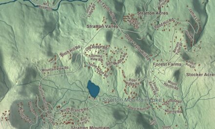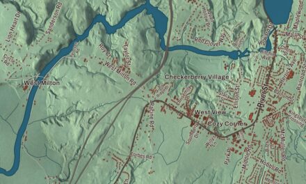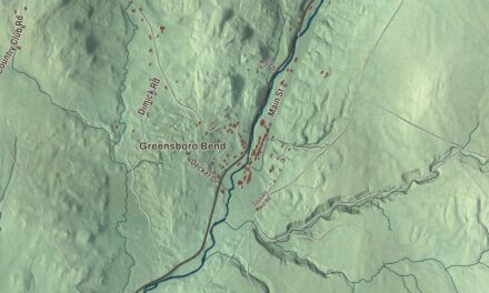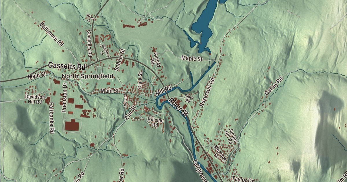
Springfield’s downtown sits in a narrow valley on the banks of the Black River, which flows right through it, and the town reaches east to the Connecticut River. This map prints North Springfield, Spoonerville, Hardscrabble Corner and West Springfield, with Charlestown Road, Clinton Street, Main Street, Chester Road, River Street and Missing Link Road.
Springfield is a town in Windsor County, Vermont.
KNOWOL made this map in 2026 from public survey data and gave it the look of an old county atlas, shading the hills from United States Geological Survey elevation data and drawing the roads and town line from the Census Bureau. The town covers 49.5 square miles, and 9,062 people lived here at the 2020 census. Click here to purchase a print of this map for your wall.
A mill town on the Black River
Springfield was one of the New Hampshire grants, chartered by Governor Benning Wentworth on August 20, 1761, to Gideon Lyman and 61 others, and New York confirmed the grant in 1772. Real settlement waited for the Crown Point Road and the end of the French and Indian War. The town’s first sawmill went up on the falls of the Black River near today’s downtown, the first bridge across the river followed in the 1770s, and the town center grew around the bridge and the mills. John Barrett and Samuel Scott represented the town in the legislature in 1778. Springfield’s alluvial flats made it one of the best farming towns in the state, but the falls, which drop 110 feet in an eighth of a mile, helped make it a mill town. The Springfield Downtown Historic District follows Main Street, Route 106, north from the river to Elm Hill Street.
Southeast of the village, at 470 Charlestown Road, stands the Eureka Schoolhouse, Vermont’s oldest surviving schoolhouse. Its first teacher, David Searle, is said to have cried “Eureka!” when he reached the new settlement after a long journey, and the name stuck; it still turns up on streets and businesses around town. The school closed in 1900, was taken apart and stored in 1958, and was put back together in 1968. Nearby, the Gould’s Mill Bridge, a Baltimore truss built in 1929 after the floods of 1927, carries Paddock Street over the Black River.
Precision Valley
Springfield sat at the center of the Precision Valley, home of Vermont’s machine tool industry. James Hartness led the Jones and Lamson Machine Company when it moved from Windsor to Springfield in the late 1880s, and there he built his flat-turret lathe. He also became one of the nation’s first aviators, gave the land for the Springfield Aerodrome, Vermont’s first airfield, and served as governor from 1921 to 1923. His Shingle style house of 1904 on Orchard Street, with the telescope he designed, has been an inn since 1954. Edwin R. Fellows, mentored by Hartness, designed a new gear shaper in 1896 and co-founded the Fellows Gear Shaper Company here, and the Bryant Chucking Grinder Company and Lovejoy Tool followed. During World War II, the federal government ranked Springfield, with the Cone Automatic Machine Company in nearby Windsor, as the seventh most important bombing target in the country. In 1942 the Southview houses on Stanley Road were built for the workers making war materials.
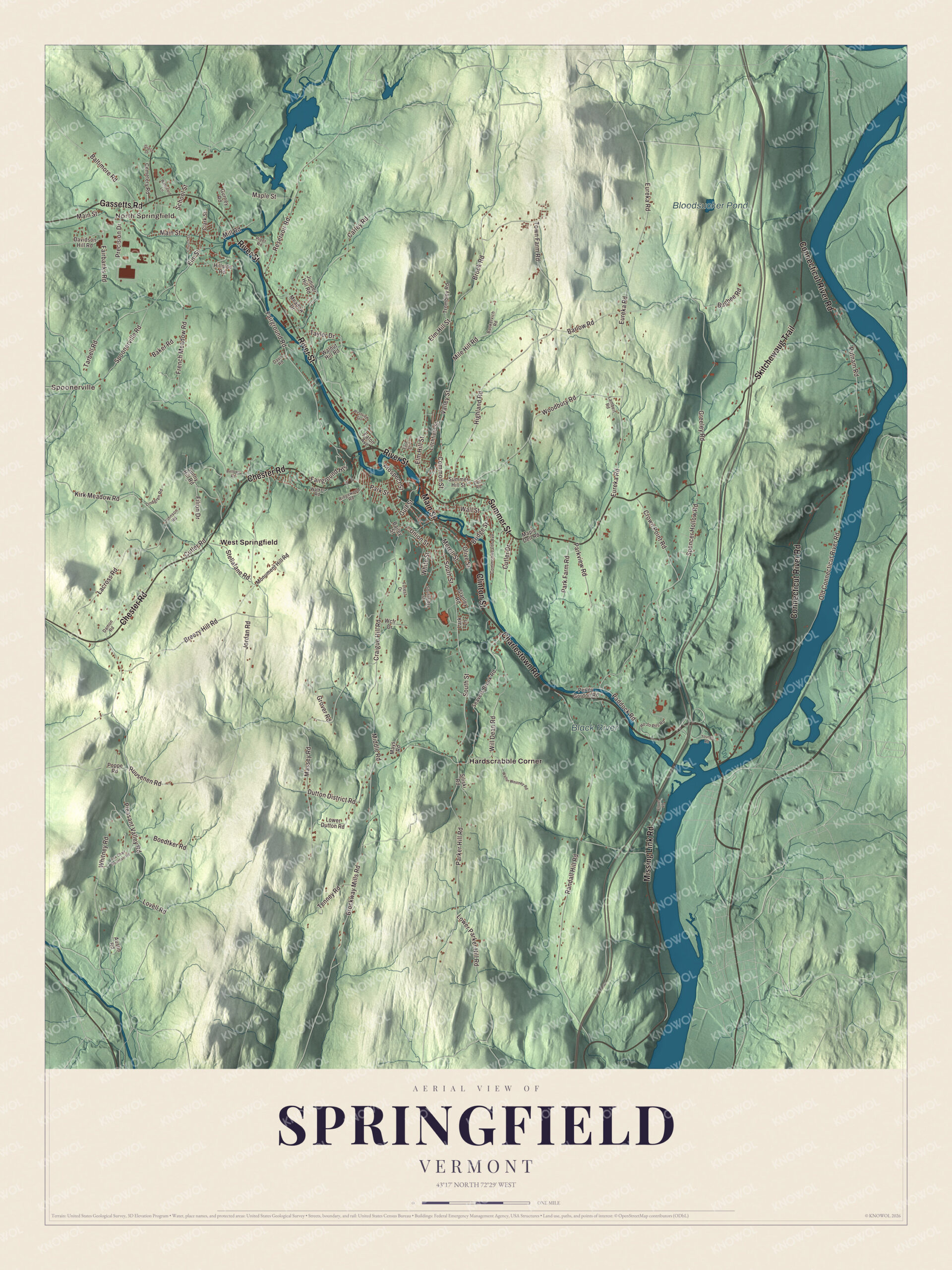
Click to explore a larger preview. The digital watermark does not appear on printed maps.
Names on this map
These names are printed on this map.
Places: North Springfield, Spoonerville, Bloodsucker Pond, Black River, Hardscrabble Corner and West Springfield.
Streets and roads: Charlestown Road, Clinton Street, Main Street, Chester Road, River Street, Missing Link Road, Summer Street, Connecticut River Road, Skitchewaug Trail, Gassetts Road, South Street, Valley Street.
More street names, A to Z
Austin Road, Bailey Street, Baker Road, Baltimore Road, Barlow Road, Baskervich Road, Bellows Road, Boedtker Road, Breezy Hill Road, Bridge Street, Brockway Mills Road, Brook Road, Bugbee Road, Carley Road, Cemetery Road, Church Street, Clark Street, Clover Road, Common Street, Commonwealth Avenue, Craigue Hill Road, Crown Point Road, Cutler Drive, Cutler Road, Damon Road, Davidson Hill Road, Davis Road, Dell Road, Dutton District Road, Earl Street, Eaton Avenue, Elm Hill Street, Elm Street, Eureka Road, Fairbanks Road, Fairground Heights, Fairground Road, Filion Drive, Forest Drive, Fox Chair Mountain Road, French Meadow Road, Grace Drive, Greeley Road, Grover Road, Gulf Street, Gurney Road, Highland Road, Hillside Road, Ho Jo Pits Road, Johnson Road, Jordan Road, Juniper Hill Road, Kirk Meadow Road, Lacross Road, Lambert Road, Lark Lane, Lindgren Road, Litchfield Street, Lovell Road, Lower Dutton Road, Lower Parker Hill Road, Maple Dell Road, Maple Street, Massey Road, Mays Road, Meadow Drive, Merrill Street, Middle Road, Mile Hill Road, Mill Road, Monument Hill Road, Old Connecticut River Road, Olive Street, Paddock Road, Parker Hill Road, Park Farm Road, Park Street, Parkview Road, Perley Gordon Road, Piper Road, Pleasant Valley Road, Poppe Road, Precision Drive, Prospect Street, Putnam Road, Randall Hill Road, Reservoir Road, Ridgewood Road, Ruusenen Road, School Street, Seavers Brook Road, Siliski Road, Southridge Street, Spencer Hollow Road, Spoonerville Road, Stanley Road, Stellafane Road, Summer Hill Street, Sunny Hill Road, Tarbell Road, Taylor Drive, Tenney Road, Town Farm Road, Trombley Road, Union Street, Walker Road, Wall Street, Walnut Hill Road, Walter Westney Road, Waterford Lane, Wcfr Drive, Westview Terrace, White Street, Whitney Road, Will Dean Road, Woodbury Road, Youngs Road.
See it on a wall
The Springfield map as a framed print. Swipe for more.


Russell W. Porter, born in Springfield in 1871, was an Arctic explorer, artist and architect who designed the town library. Back home in 1919, he began building telescopes with help from the town’s factories, and in 1920 he started a class that grew into the Springfield Telescope Makers, the oldest amateur telescope making club in the United States. The club built its pink clubhouse, Stellafane, on Breezy Hill in 1923, and its Stellafane Convention, held there nearly every summer since 1926, is the longest running astronomical convention in the country. The site became a National Historic Landmark in 1989. Hartness’s daughter, Helen Hartness Flanders, born in Springfield in 1890, gathered nearly 4,500 field recordings, transcriptions and analyses of traditional songs sung in New England. Her husband, Ralph Flanders, was a machine tool entrepreneur who became a United States senator.
In North Springfield, the brick Lockwood-Boynton House at School and Main Streets, built about 1800 and enlarged in 1813, is a well-preserved Federal house with arched ground floor bays. In 2007, Springfield won a Fox contest among more than a dozen Springfields across the country to host the premiere of The Simpsons Movie.
On the map, start with North Springfield and Spoonerville, then follow Charlestown Road, Clinton Street, Main Street, Chester Road, River Street and Missing Link Road across town. Then look outward toward Hardscrabble Corner and West Springfield. Bloodsucker Pond and the Black River are printed too. Springfield dates to 1761.
This map of Springfield is made for everyone who calls Springfield home, and it shows the town as it looks today, from Main Street and the Black River to North Springfield and Charlestown Road. Hang it in an office, library or den, or use it to teach children the geography and history of their town. It’s printed on museum quality archival paper. Zoom in on the preview above to explore the details, then click here to get your copy of the Springfield, Vermont map.

Sources
- Springfield, Vermont, Wikipedia
- Town histories and representatives, S towns, Vermont Legislature
- Springfield Downtown Historic District, Wikipedia
- Eureka Schoolhouse, Wikipedia
- Gould’s Mill Bridge, Wikipedia
- James Hartness, Wikipedia
- Hartness House, Wikipedia
- Edwin R. Fellows, Wikipedia
- Southview Housing Historic District, Wikipedia
- Russell W. Porter, Wikipedia
- Stellafane Observatory, Wikipedia
- Helen Hartness Flanders, Wikipedia
- Ralph Flanders, Wikipedia
- Lockwood-Boynton House, Wikipedia