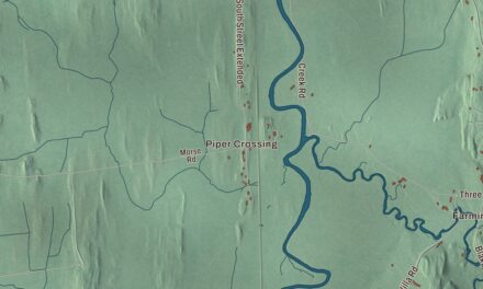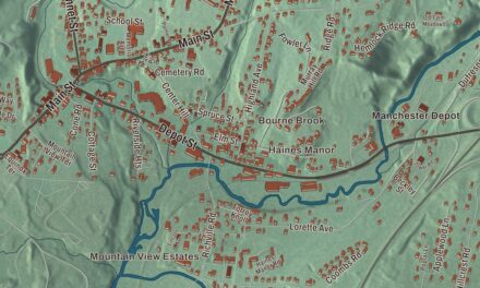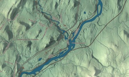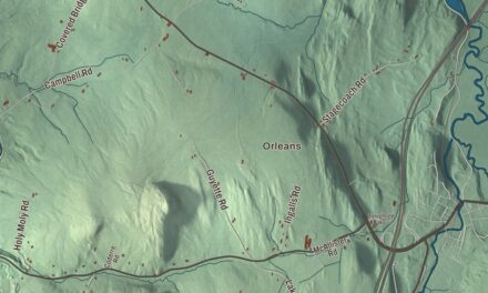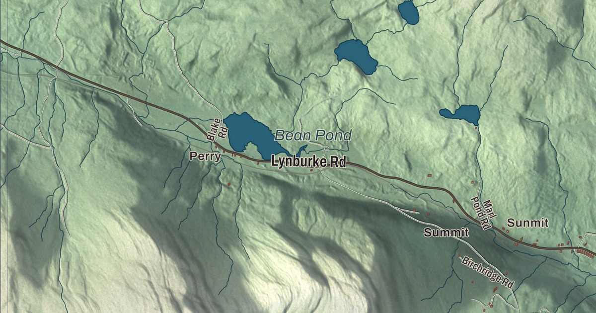
Sutton sits in the hills of northern Caledonia County, with Mount Hor rising in its northern corner above Lake Willoughby. This map prints Perry and Summit, Lynburke Road, Wheelock Road, Sheffield Road, Wheeler Mountain Road, Underpass Road and North Ridge Road, and Bean Pond.
Sutton is a town in Caledonia County, Vermont.
KNOWOL made this map in 2026 from public survey data and gave it the look of an old county atlas, shading the hills from United States Geological Survey elevation data and drawing the roads and town line from the Census Bureau. The town covers 38.4 square miles, and 913 people lived here at the 2020 census. Click here to purchase a print of this map for your wall.
Billymead becomes Sutton
The Vermont Legislature granted the town on February 26, 1782, as Billymead, to Dr. Jonathan Arnold of Rhode Island and his associates. Arnold, a former Continental Army surgeon who later settled St. Johnsbury, named it for his younger son, William. The town organized on July 4, 1794. By 1810 the townspeople had had enough of Billy and his name, and at a town meeting they voted overwhelmingly to change it, and the Legislature’s records date the new name, Sutton, to October 19, 1812. Caleb Fisk was the first representative listed for the town, from 1805 to 1807. Sutton’s villages and hamlets include Sutton, Sutton Depot and Summit Siding.
Lyndon lies to the south, Wheelock to the southwest, Sheffield to the west, Barton to the northwest, Westmore to the north, Newark to the northeast and Burke to the east. The town’s highest point is the summit of Mount Hor, at 2,656 feet. Mount Hor stands on the west side of Lake Willoughby and forms the west side of Willoughby Gap. The lake’s shoreline looks almost like a Norwegian fjord, and the sheer cliffs of Mount Hor and Mount Pisgah give rare peregrine falcons places to nest. Robert Frost made Mount Hor the subject of his poem “The Mountain,” in his 1914 book North of Boston.
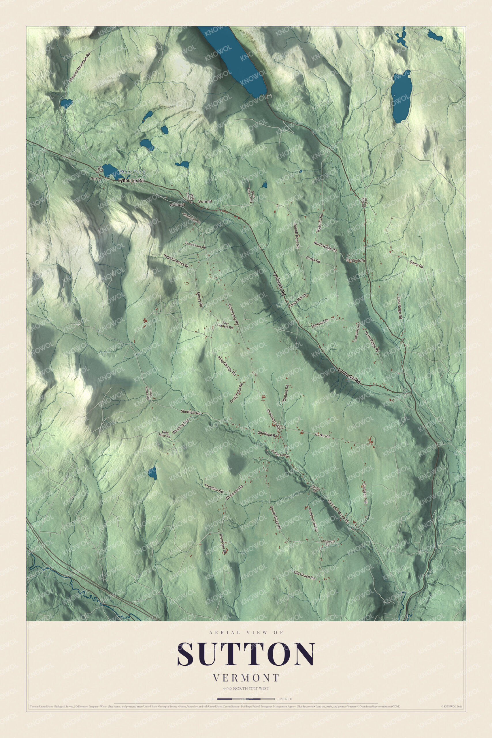
Click to explore a larger preview. The digital watermark does not appear on printed maps.
Names on this map
These names are printed on this map.
Places: Perry, Sunmit, Bean Pond and Summit.
Streets and roads: Lynburke Road, Wheelock Road, Sheffield Road, Wheeler Mountain Road, Underpass Road, North Ridge Road, King George Road, Calendar Brook Road, East Ridge Road, Dolloff Pond Road, Pudding Hill Road, Burke Road.
More street names, A to Z
Birchridge Road, Blake Road, Campling Road, Camp Road, Chapman Road, Craig Pond Road, Cross Road, Dexter Road, Ernie Evans Road, Four Corners Road, Freedom Road, Gold Mine Road, Hopeful Acres Drive, Marl Pond Road, Michaud Drive, Morey Road, Newark Pond Road, Nygrens Road, Old Coach Road, Pierce Hill Road, Riendeau Road, Sargents Road, Simpson Hill, South Ridge Road, State Forest Highway, Station Road, Sutton Hollow, Union House Road, Wood Hill Road.
See it on a wall
The Sutton map as a framed print. Swipe for more.


Snow and weather
Sutton’s elevation gives it a slightly cooler and wetter climate than nearby towns such as St. Johnsbury, and the weather station in the center of town has averaged well over 100 inches of snow a year. Unusually for such a small town, two National Weather Service stations have reported from Sutton for much of recent history. The first, in a frost hollow at about 1,000 feet, kept records from January 1948 until the spring of 2017, and it has recorded a freeze in every month of the year. The second, built in January 2000 on a hill a few miles away and about 500 feet higher, sees smaller daily swings, slightly warmer temperatures and more rain and snow.
Henry Oscar Houghton was born into a poor family in Sutton in 1823. He moved his printing business to the bank of the Charles River in 1852 as the Riverside Press, co-founded the publisher Houghton Mifflin and served as mayor of Cambridge, Massachusetts. The author and essayist Garret Keizer lives in Sutton with his family.
On the map, start with Perry, then follow Lynburke Road, Wheelock Road, Sheffield Road, Wheeler Mountain Road, Underpass Road and North Ridge Road across town. Then look outward toward Summit. Bean Pond is printed too. Sutton dates to 1782.
This map of Sutton is made for everyone who calls Sutton home, and it shows the town as it looks today, from Perry and Lynburke Road to Summit and Bean Pond. Hang it in an office, library or den, or use it to teach children the geography and history of their town. It’s printed on museum quality archival paper. Zoom in on the preview above to explore the details, then click here to get your copy of the Sutton, Vermont map.

Sources