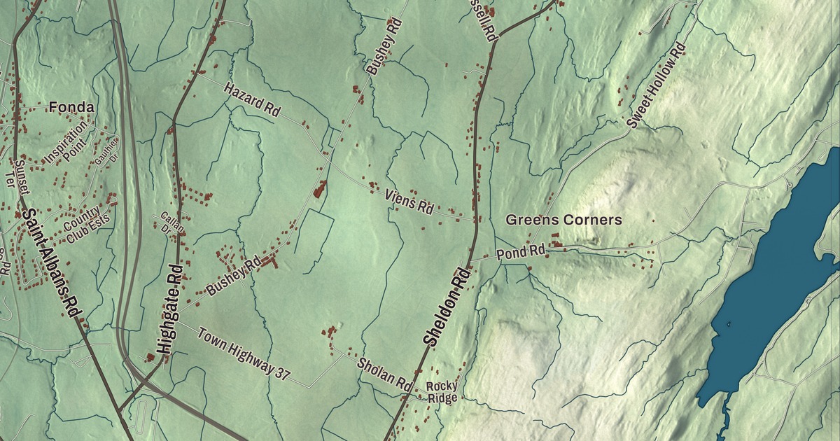
Swanton runs from the Missisquoi River and its village green out to the marshes and shore of Lake Champlain, and its town line reaches the Canadian border out in Missisquoi Bay. This map prints Lake Champlain, Lake Street, North River Street, Saint Albans Road, Highgate Road, Sheldon Road and Maquam Shore Road, and Greens Corners, Fonda, Maquam, Skeels Corner, Swanton Junction and West Swanton.
Swanton is a town in Franklin County, Vermont.
KNOWOL made this map in 2026 from public survey data and gave it the look of an old county atlas, shading the hills from United States Geological Survey elevation data and drawing the roads and town line from the Census Bureau. More than a fifth of the town is water, and 6,701 people lived here at the 2020 census. Click here to purchase a print of this map for your wall.
French settlers, then the New Hampshire Grants
People were here long before any charter. In 2013, human artifacts about 7,000 years old were found near the Missisquoi River. French land grants in the area began in 1734, and from as early as 1740 settlers from Quebec came by water from Quebec City and Montreal to small French settlements and a Catholic mission near what’s now Swanton Falls. New Hampshire granted the town on August 17, 1763, naming it for Captain William Swanton, a British officer who had passed through during the French and Indian War. Because it lay so close to New France, and later to the Province of Quebec, no one from the British colonies or the new United States settled it through the 1760s and 1770s, and as late as 1786 Ira Allen owned 59 of the original 64 shares. The town organized on March 23, 1790, with Daniel Stannard as its first representative in the legislature, and its town center was laid out in 1803.
The village, in the north-central part of town along the Missisquoi, is where U.S. Route 7 and Route 78 meet, with Interstate 89 just to the east. Lake Street, part of Route 36, leads two miles west to Lake Champlain at Maquam Bay, and North River Street carries Route 78 through the village. Fonda lies along Route 7 in the south-central part of town. At the south end of the village green stand the brick Swanton Christian Church, built in 1823 by four congregations together and remodeled in the Italianate style in 1869, and Holy Trinity Episcopal Church of 1876, its newer sanctuary built of locally quarried red and purple marble. The former Swanton Academy beside them holds the town offices. In 1961 Queen Elizabeth II gave the town a pair of her royal swans, named Sam and Betty, and after the first pair died of old age, a new Sam and Betty came to live in Village Green Park.
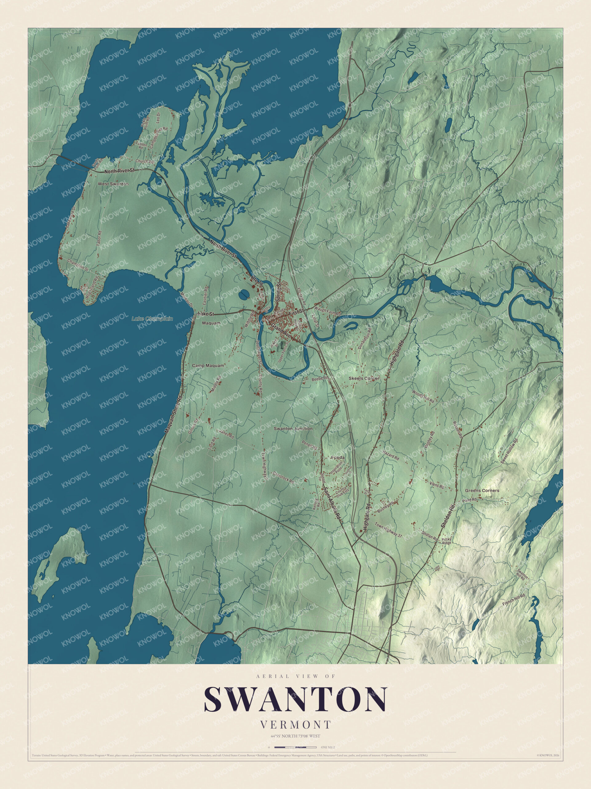
Click to explore a larger preview. The digital watermark does not appear on printed maps.
Names on this map
These names are printed on this map.
Places: Greens Corners, Lake Champlain, Camp Maquam, Fonda, Maquam, Skeels Corner, Swanton Junction and West Swanton.
Streets and roads: Maquam Shore Road, Lake Street, Saint Albans Road, Highgate Road, North River Street, Sheldon Road, First Street, Grand Avenue, Spring Street, Route 78, South River Street, Town Highway 7.
More street names, A to Z
Beebe Road, Bushey Road, Callan Drive, Campbell Bay Road, Canada Street, Champlain Street, Church Road, Comstock Road, Country Club Ests, County Road, Donaldson Road, Fadden Road, Foundry Street, French Hill Road, Frontage Road, Gauthier Drive, Giroux Road, Hazard Road, Hog Island Road, Inspiration Point, Janes Road, Jewett Street, Jonergin Drive, Jones Court, Kellogg Road, Lafar Street, Lakewood Drive, Lasnier Road, Lebel Drive, Leo Drive, Lord Road, Middle Road, Moreau Drive, Penell Road, Pickle Point Road, Pond Road, Robin Hood Drive, Rocky Ridge, Russell Road, Sandy Point Road, Sholan Road, Sunset Terrace, Swanton Hill Road, Sweet Hollow Road, Tabor Road, Town Highway 37, Upper Ferris Street, Viens Road, Waugh Farm Road, Woods Hill Road.
See it on a wall
The Swanton map as a framed print. Swipe for more.


Lime, marsh and lake
In southern Swanton, on the east side of Route 7 about a mile above the St. Albans line, stands Richwood, the Second Empire house built in 1871 for C. W. Rich, then the town’s leading businessman. He had run lime kilns in Swanton since 1847, and lime was then the town’s most important business. The house is built of stone from Isle La Motte with local redstone trim, roofed with purple slate from Fair Haven, and its entrance hall is inlaid with three colors of Vermont marble. Albert B. Jewett, who kept a store in Swanton from 1850 and commanded the 10th Vermont Infantry in the Civil War, also had a share in a quicklime factory and a Lake Champlain steamboat that ran from Maquam Bay to Plattsburgh and the islands.
A large part of the Missisquoi National Wildlife Refuge, where the Missisquoi River enters Lake Champlain, lies in the northwest part of town. Founded in 1943 on land in the river’s delta, it now covers 7,232 acres in Swanton and Highgate and was named a Wetland of International Importance in 2013. Its Maquam Bog, a 900-acre pitch pine bog, holds Vermont’s largest populations of pitch pine, rhodora and chain fern. The Abenaki Nation of Missisquoi, a state-recognized tribe, is based in Swanton. Stephen F. Brown, born here in 1841, became famous for going into the Battle of Gettysburg armed only with a camp hatchet, and the 13th Vermont placed a statue of him on its monument there. The actor M. Emmet Walsh, of Blood Simple and Blade Runner, grew up in rural Swanton and set up a scholarship fund for graduates from the area.
On the map, start with Greens Corners and Fonda, then follow Maquam Shore Road, Lake Street, Saint Albans Road, Highgate Road, North River Street and Sheldon Road across town. Then look outward toward Maquam, Skeels Corner, Swanton Junction and West Swanton. Lake Champlain is printed too. Swanton dates to 1763.
This map of Swanton is made for everyone who calls Swanton home, and it shows the town as it looks today, from North River Street and Swanton Junction to Maquam and Lake Champlain. Hang it in an office, library or den, or use it to teach children the geography and history of their town. It’s printed on museum quality archival paper. Zoom in on the preview above to explore the details, then click here to get your copy of the Swanton, Vermont map.

Sources
- Swanton (town), Vermont, Wikipedia
- Town histories and representatives, S towns, Vermont Legislature
- Swanton (village), Vermont, Wikipedia
- Swanton Christian Church, Wikipedia
- Holy Trinity Episcopal Church (Swanton, Vermont), Wikipedia
- Richwood Estate, Wikipedia
- Albert B. Jewett, Wikipedia
- Missisquoi National Wildlife Refuge, Wikipedia
- Stephen F. Brown, Wikipedia
- M. Emmet Walsh, Wikipedia