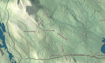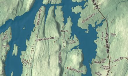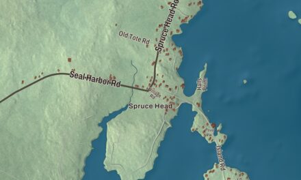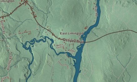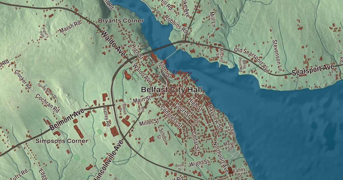
Searsport Avenue, Northport Avenue, Belmont Avenue, Waldo Avenue and Swan Lake Avenue all carry their names on this map of Belfast, with West Waldo Road and Belfast City Hall. So do Bryants Corner, City Point, Dog Island Corner, Hayford Corner, Head of the Tide and Holmes Mill, along with Upper Mason Pond and Belfast Reservoir Number Two. Click here to purchase a print of this map for your wall.
Belfast is a city in Waldo County, and it has been the county seat since 1827.
KNOWOL made this map in 2026 from public survey data and gave it the look of an old atlas. The relief comes from United States Geological Survey elevation data, and the streets and the city line come from the Census Bureau. The bureau counts 38.37 square miles inside that line, 4.33 of them water, at the mouth of the Passagassawakeag River on Belfast Bay.
A port named for another Belfast
The land here was part of the Waldo Patent, which General Samuel Waldo of Boston bought about 1720. After he died in 1759, his heirs sold the plantation of Passagassawakeag, named for its river, to 35 Scots-Irish proprietors from Londonderry, New Hampshire. They renamed it for Belfast, then the main port where emigrants from the north of Ireland set sail. Settlers arrived in 1770, and the town was incorporated in 1773. The river’s own name is of local Native American origin, and its page says it’s believed to mean “a sturgeon’s place.”
The Revolution emptied the village for a time, and British forces held the town for five days in September 1814, during the War of 1812. After that war the seaport rebuilt and thrived. The town page dates its charter as a city, Maine’s eighth, to August 17, 1850. Shipyards here turned out hundreds of three, four and five masted schooners, and the shipbuilders’ money went into the Federal, Greek Revival and Italianate houses and public buildings the city is known for. The Belfast Historic District, listed on the National Register in 1986, is described on its page as one of Maine’s largest concentrations of architecture from before the Civil War.
The First Church of Belfast on Church Street went up in 1818 under the master builder Samuel French, largely following a plan that Asher Benjamin had published, and a Revere bell hangs in its belfry. Down the same street, the James P. White House is one of the city’s most elaborate Greek Revival houses. At the five-way corner of Main, Church and Beaver streets, Mayor Axel Hayford built the Hayford Block, the first big building to go up after a fire swept downtown in 1865. Its opera house, Hayford Hall, seated 1,300 people and was for years the city’s main stage for traveling theater companies and vaudeville.
Several people born in Belfast made their names far from it. Edward Wilson Very, born here in 1847, was the Navy officer who popularized the flare gun whose flares bear his name, Very lights. Angelina J. Knox, born here in 1819, became an inventor and abolitionist, and from 1855 to 1859 her family’s home on Myrtle Street in Boston aided people who had escaped slavery. The house is now an Underground Railroad site. Albert William Stevens, born in Belfast in 1886, took the first photograph showing the curve of the Earth’s horizon, over South America in 1930, and in 1935 he rode the balloon Explorer II to 72,395 feet, a world altitude record.
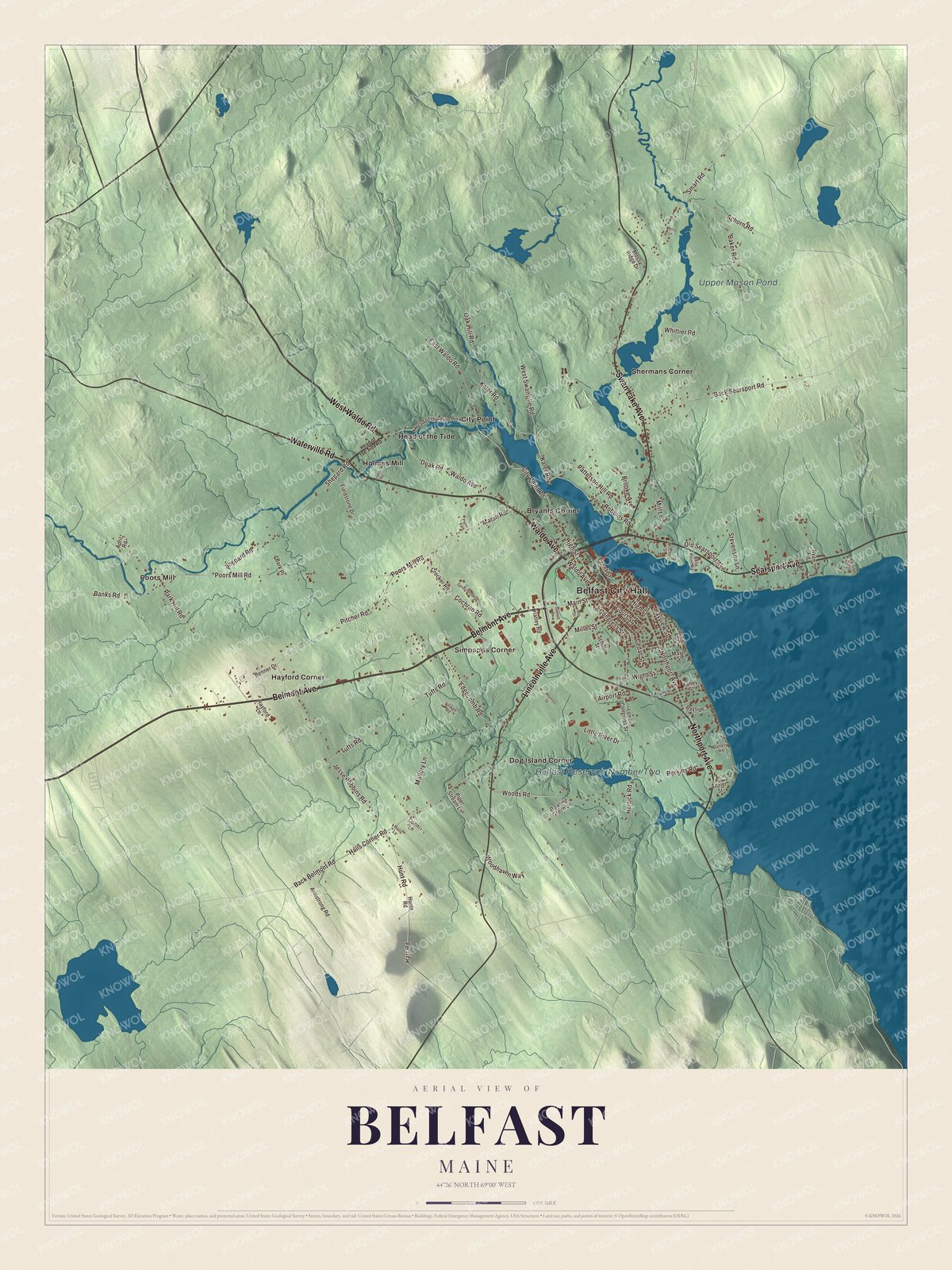
Click to explore a larger preview. The digital watermark does not appear on printed maps.
See it on a wall
The Belfast map as a framed print. Swipe for more.


From City Hall to City Point
Belfast City Hall is printed on the map. According to the historic district’s page, City Hall, the Waldo County Courthouse and the Customhouse and Post Office were all built in the 1850s and designed by prominent architects.
Searsport Avenue is printed too. It carries U.S. Route 1, and on its north side, near the mouth of the river, stands the Black Horse Tavern. Jerome Stephenson, a Revolutionary War veteran, built the house about 1795 and turned it into a tavern in 1800, and his son and grandson kept it going until about 1852. Its page calls it the city’s first tavern on the east side of the Passagassawakeag, and it’s a private home today.
City Point is printed as well. The Belfast and Moosehead Lake Railroad was chartered in 1867 and began running trains at the end of 1870, linking the waterfront to the Maine Central main line at Burnham Junction, 33 miles inland. For most of its life it was largely owned by the city. Today the Brooks Preservation Society runs weekend excursion trains between City Point, Waldo and Brooks, and in 2016 the city opened a rail trail on 2.3 miles of the old right-of-way. Boatbuilding came back to the harbor too: French and Webb began building and restoring wooden yachts in 1996, and Front Street Shipyard opened a major boatyard on the old rail yard in 2013.
Head of the Tide, Holmes Mill, Hayford Corner and Dog Island Corner are printed on the map, along with Upper Mason Pond and Belfast Reservoir Number Two. West Waldo Road, Waldo Avenue, Swan Lake Avenue and Northport Avenue are printed on the sheet too.
This Belfast map makes a handsome addition to an office, library or den, and it can teach children the geography and history of a shipbuilding city. It’s made for anyone who calls Belfast home, from Bryants Corner to City Point, as it looks today. Zoom in on the preview above to explore the details, then click here to get your copy of the Belfast, Maine map.

Sources
- Belfast, Maine, Wikipedia
- Passagassawakeag River, Wikipedia
- Belfast Historic District, Wikipedia
- First Church of Belfast, Wikipedia
- James P. White House, Wikipedia
- Hayford Block, Wikipedia
- Edward Wilson Very, Wikipedia
- Angelina J. Knox, Wikipedia
- Albert William Stevens, Wikipedia
- Black Horse Tavern (Belfast, Maine), Wikipedia
- Belfast and Moosehead Lake Railroad, Wikipedia