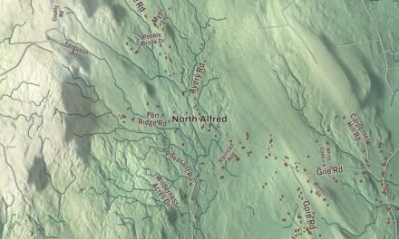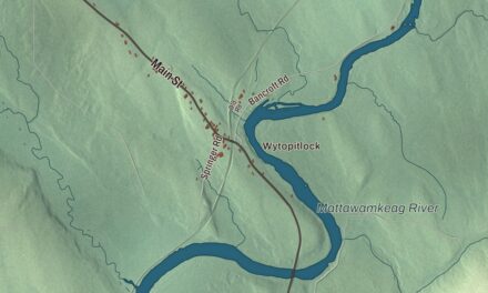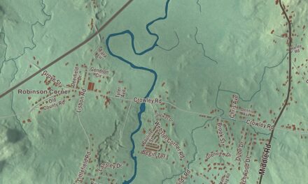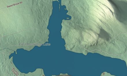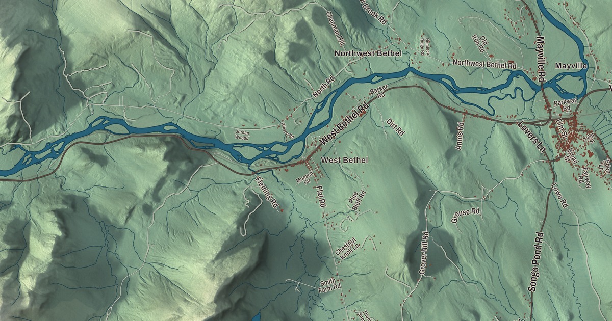
West Bethel, East Bethel, Middle Intervale, North Bethel and Mayville all have their names on this map of Bethel, and so does the neighboring town of Newry, with Milton. The roads are printed too: Mayville Road, West Bethel Road, Walkers Mills Road, Songo Pond Road, Vernon Street and Lovers Lane. Click here to purchase a print of this map for your wall.
Bethel is a town in Oxford County, with 2,504 people at the 2020 census.
KNOWOL made this map in 2026 from public survey data and gave it the look of an old atlas. The hillshade comes from United States Geological Survey elevation data, and the roads and the town line come from the Census Bureau, which counts 65.91 square miles here. Bethel sits on the southern rim of the Mahoosuc Range, and the Androscoggin River and its tributaries, the Alder, Pleasant and Sunday rivers, drain the town.
Sudbury-Canada becomes Bethel
An Abenaki village once stood on the north side of the Androscoggin, though it had been abandoned before English settlers came. In 1769 Massachusetts granted the township as Sudbury-Canada to Josiah Richardson of Sudbury and others, or their heirs, for service at the Battle of Quebec in 1690. Nathaniel Segar of Newton, Massachusetts, began clearing land in 1774, and the Revolution held back many of the other grantees. After the war the community grew quickly, and on June 10, 1796, the plantation was incorporated as Bethel, a name from the Book of Genesis meaning “House of God.”
A trade road from Portland to Errol, New Hampshire, now Route 26, came through in 1802. Farmers planted the fertile intervales and meadows, and the town page says Bethel became one of the best farming towns in the state, especially for hay and potatoes. In winter they cut logs for the sawmills. Then on March 10, 1851, the Atlantic and St. Lawrence Railroad reached Bethel, bringing freight and summer visitors from the cities. Between the Civil War and World War I it was a fashionable resort, with hotels facing the common or up on Bethel Hill, and from 1897 to 1926 the Maine Music Festivals organized by William Rogers Chapman brought well-known musicians here.
Bethel Hill had only four houses in 1814. One of them, the Dr. Moses Mason House on Broad Street, still faces the common. Moses Mason started practicing medicine in Bethel in 1813, became its first postmaster and served two terms in Congress, and the itinerant artist Rufus Porter painted harbor and woodland murals in its central hall and stairwell, probably around 1830. The house is now a museum of the Bethel Historical Society. Gould Academy began in 1836 as Bethel Academy and took the name of the Reverend Daniel Gould, who left it his $842 fortune, and until Telstar High School opened in 1969 every local child went to high school there. At the south end of Broad Street, Dr. John George Gehring treated nervous disorders with hypnosis in his 1896 Queen Anne house, and his patients paid to build the Bethel Inn, dedicated to him. Beginning in 1947, the town page says, research led by the psychologist Kurt Lewin and his colleagues, much of it in summer sessions at Gould Academy, helped lay the foundation of the field called organizational development.
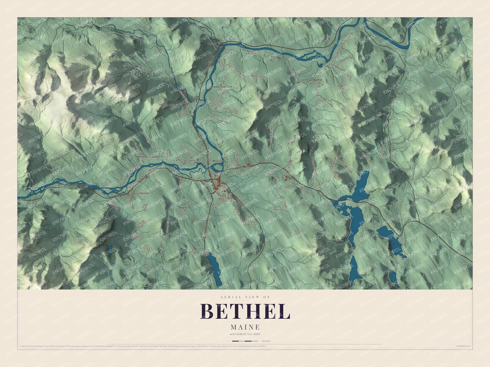
Click to explore a larger preview. The digital watermark does not appear on printed maps.
See it on a wall
The Bethel map as a framed print. Swipe for more.


Out along the intervales
Middle Intervale is printed on the map. The Middle Intervale Meeting House stands at 757 Intervale Road, at the corner of a two-acre common. It was built in 1816 to hold both the Baptist and Congregational congregations and the town meeting, and it got its Greek Revival look in 1857. Inside are box pews with Federal woodwork. After about 1857 the Baptists had it to themselves.
East Bethel is printed too. The Lower Meeting House at 1797 Intervale Road was built in 1831 as a union church for East Bethel’s Baptists and Methodists, and the cemetery beside it holds a first burial from 1817. Deacon Asa Kimball Jr., who founded Bethel’s Baptist congregation, was buried there in 1823.
West Bethel Road is printed as well. At 721 West Bethel Road, the Pleasant Valley Grange No. 136 was added to the National Register of Historic Places in September 2026. Newry is printed on the map. It’s the town next door, first called Sunday River Plantation and best known as the home of the Sunday River ski resort. West Bethel, North Bethel, Mayville and Milton are printed on the map, along with Mayville Road, Walkers Mills Road, Songo Pond Road, Vernon Street and Lovers Lane. Only the north edge of Songo Pond lies inside the town.
This Bethel map makes a handsome addition to an office, library or den, and it can teach children the geography and history of a mountain town on the Androscoggin. It’s made for anyone who calls Bethel home, from West Bethel to East Bethel, as it looks today. Zoom in on the preview above to explore the details, then click here to get your copy of the Bethel, Maine map.

Sources
- Bethel, Maine, Wikipedia
- Broad Street Historic District (Bethel, Maine), Wikipedia
- Dr. Moses Mason House, Wikipedia
- Moses Mason Jr., Wikipedia
- Gould Academy, Wikipedia
- Gehring Clinic, Wikipedia
- Middle Intervale Meeting House and Common, Wikipedia
- Lower Meeting House and East Bethel Cemetery, Wikipedia
- National Register of Historic Places listings in Oxford County, Maine, Wikipedia
- Newry, Maine, Wikipedia