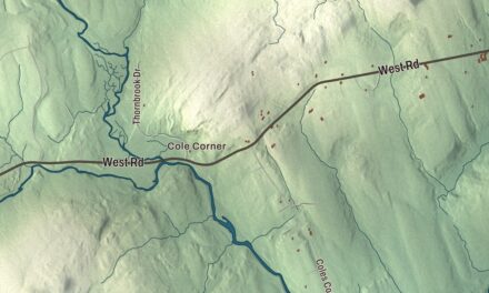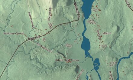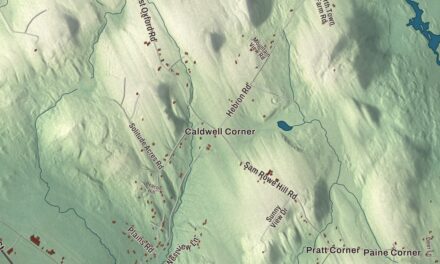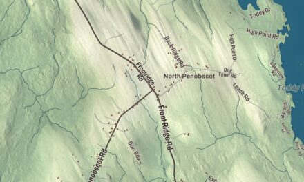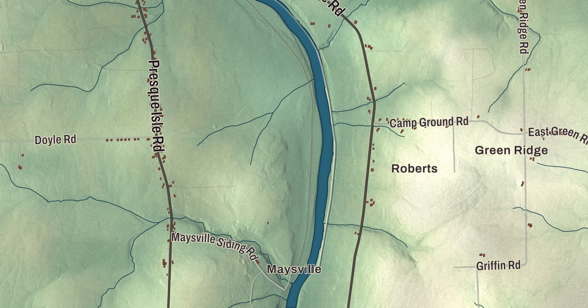
Sweden Street, Main Street and Access Highway are printed on this map of Caribou, Maine, along with Washburn Street, Van Buren Road and Fort Fairfield Road. Maysville and Roberts are printed too, and so are Green Ridge, North Lyndon, Barretts, Bishop, the Aroostook River and the Little Madawaska River. Click here to purchase a print of this map for your wall.
Caribou is a city in Aroostook County, with 7,396 people at the 2020 census.
KNOWOL made this map in 2026 from public survey data and set it in the style of an old atlas. The relief is shaded from United States Geological Survey elevation data, and the streets and city line come from the Census Bureau, which puts Caribou at 80.10 square miles, 0.84 of them water.
From Letter H to Caribou
The city clerk’s office keeps a short history of how Caribou came together. Township T13R2 was incorporated as Letter H Township in 1848, and in 1859 Letter H became the Town of Lyndon. In 1869 Letter I Plantation, also called Forestville, was annexed to Lyndon along with the Eaton Grant. In 1877 the Town of Lyndon changed its name to Caribou, and in 1968 the town became the City of Caribou. North Lyndon is printed on the map.
Today Caribou is the second largest city in Aroostook County. It’s a service center for farming and tourism, and it’s home to a National Weather Service forecast office. The Aroostook Valley Railroad reached the city in 1912, running electric interurban cars up from Presque Isle. The clerk’s page also lists one proud first: on September 16, 1986, Caribou was the launch site of the first solo balloon flight across the Atlantic, flown by Joe W. Kittinger.
Sweden Street and Main Street
Sweden Street is printed on the map. At its corner with Prospect Street stands the Gray Memorial United Methodist Church, a Gothic Revival church begun in 1912 for a congregation founded in 1860 with circuit ministers. It was named for Bessie Gray, the pastor’s wife, who was instrumental in getting it built, and it’s described as the most architecturally sophisticated church in Caribou. Its tower clock is by Seth Thomas, and the church was listed on the National Register of Historic Places in 1995. Farther west, Sweden Street passes Caribou High School.
Susan Collins was born in Caribou and went to Caribou High School, where she was president of the student council. Her family runs a lumber business that her great-great-great-grandfather, Samuel W. Collins, started in 1844, and both of her parents served as mayor of Caribou. She went on to the United States Senate for Maine, and in 2012 she was married at Gray Memorial. Jessica Meir was born in Caribou in 1977. A marine biologist and NASA astronaut, she and Christina Koch made the first all-female spacewalk on October 18, 2019.
Main Street is printed on the map as well. At 657 Main Street is the Nylander Museum, built as a WPA project and dedicated in 1939 to hold the collections of Olof O. Nylander, a self-taught naturalist from Sweden who collected for the U.S. Geological Survey. He became its first curator, and the city says his collection has stayed together, including shells from Aroostook County as small as the head of a pin. The city’s page says the museum is closed until further notice.
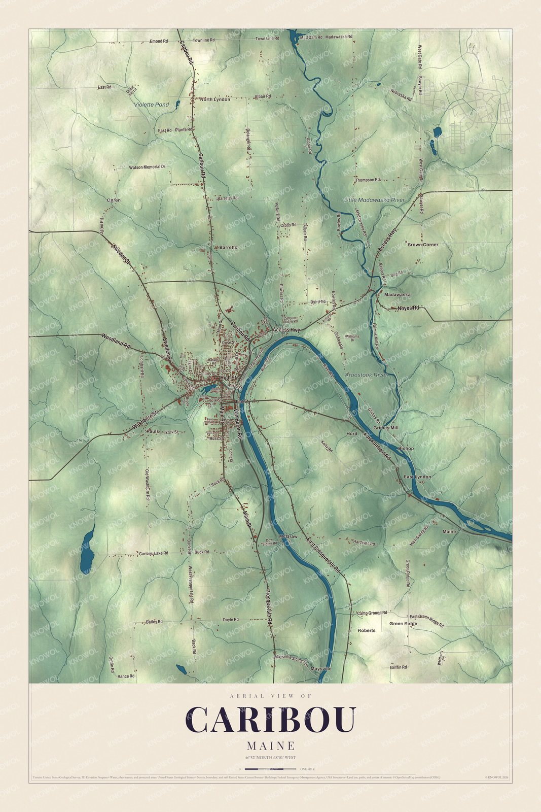
Click to explore a larger preview. The digital watermark does not appear on printed maps.
See it on a wall
The Caribou map as a framed print. Swipe for more.


Out along the roads
Access Highway is printed on the map. It’s the local name for State Route 89, which leaves downtown along High Street and heads northeast toward Limestone, crossing the Little Madawaska River at the settlement of Madawaska. Washburn Street carries Route 164 northbound through downtown.
Van Buren Road and Fort Fairfield Road are printed on the map, and so are Green Ridge, Barretts and Bishop. The Aroostook River is printed too. It winds east and northeast through the county, passing east of Caribou on its way to the Saint John River in New Brunswick. Violette Pond carries its name, and Maysville and Roberts sit among the names on the map.
This Caribou map makes a fine addition to an office, library or den, and it can help teach children the geography and history of the area. It’s made for everyone who calls Caribou home, from Sweden Street out to North Lyndon, as it looks today. Zoom in on the preview above to explore the details, then click here to get your copy of the Caribou, Maine map.

Sources
- Caribou, Maine, Wikipedia
- History of Caribou to Incorporation, City of Caribou
- Nylander Museum, City of Caribou
- Gray Memorial United Methodist Church and Parsonage, Wikipedia
- Maine State Route 161, Wikipedia
- Maine State Route 89, Wikipedia
- Susan Collins, Wikipedia
- Jessica Meir, Wikipedia
- Aroostook Valley Railroad, Wikipedia
- Aroostook River, Wikipedia