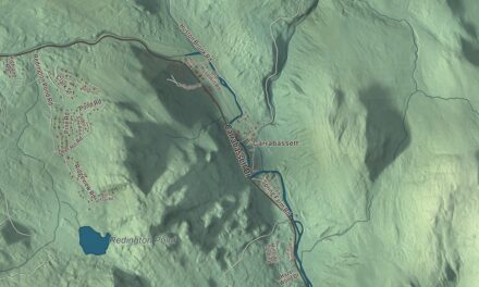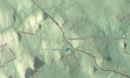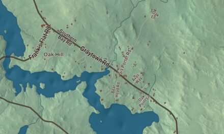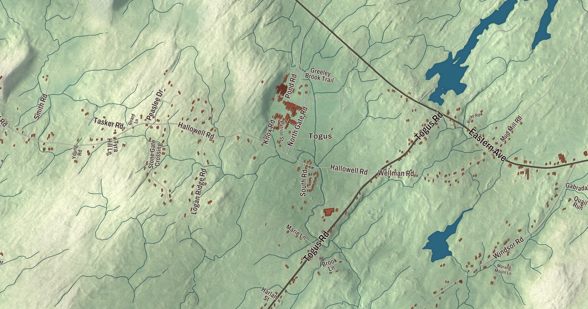
Togus is printed on this map of Chelsea, Maine, with Togus Road and Togus Stream beside it. River Road, Eastern Avenue, North Gate Road, Hallowell Road and Wellman Road carry their names too, and so do Tinkham Pond and the Kennebec River. Click here to purchase a print of this map for your wall.
Chelsea is a town in Kennebec County, with 2,778 people at the 2020 census.
KNOWOL made this map in 2026 from public survey data and gave it the look of an old atlas. The ground is shaded from United States Geological Survey elevation data, and the roads and town line come from the Census Bureau, which counts 19.98 square miles in Chelsea, 0.44 of them water. The town sits on the east bank of the Kennebec, with Hallowell to the west, Augusta to the north, Farmingdale to the southwest, Randolph and Pittston to the south and Whitefield to the east.
Gateway to the Capital
Chelsea was incorporated as a town on March 1, 1851, when it separated from part of Hallowell, and it was named for Chelsea, Massachusetts. Its nickname is the Gateway to the Capital. Hallowell Road is printed on the map, and it shares its name with the town Chelsea came from.
John F. Chase was born in Chelsea in 1843. As a private in the 5th Maine Battery at the Battle of Chancellorsville, he and one other man kept their cannon firing after nearly all the officers and men of the battery had been killed or wounded, then helped drag it off the field. He received the Medal of Honor in 1888, and after the war he worked as an inventor.
Togus
Togus is printed on the map. The name comes from Worromontogus, a Native American word for mineral water, and the neighborhood lies in the north of town near where State Routes 226 and 17 meet. Before the Civil War, Horace Beals of Rockland built a resort hotel at the springs, but it failed, and the federal government bought the land.
In 1866 Congress opened a home there for disabled Union veterans, the Eastern Branch of what became the National Home for Disabled Volunteer Soldiers. It was the first veterans facility established by the United States. Men who were able worked in its shops and on its farms, raising much of the food eaten there, and in 1871 three Holstein cattle were brought over from the Netherlands to start the first registered herd of the breed in Maine. President Ulysses S. Grant came on August 13, 1873, to review the men who had served with him, and by 1904 nearly 2,800 veterans lived at Togus. On weekends crowds came out for baseball, band concerts, the opera house and a zoo.
The Governor’s House, a brick house with a mansard roof built in 1869, is the only surviving building of that first national home, and it’s a National Historic Landmark. The campus is now the Togus VA Medical Center, and beside it lies the Togus National Cemetery. The medical center and cemetery were listed together on the National Register of Historic Places in 2012.
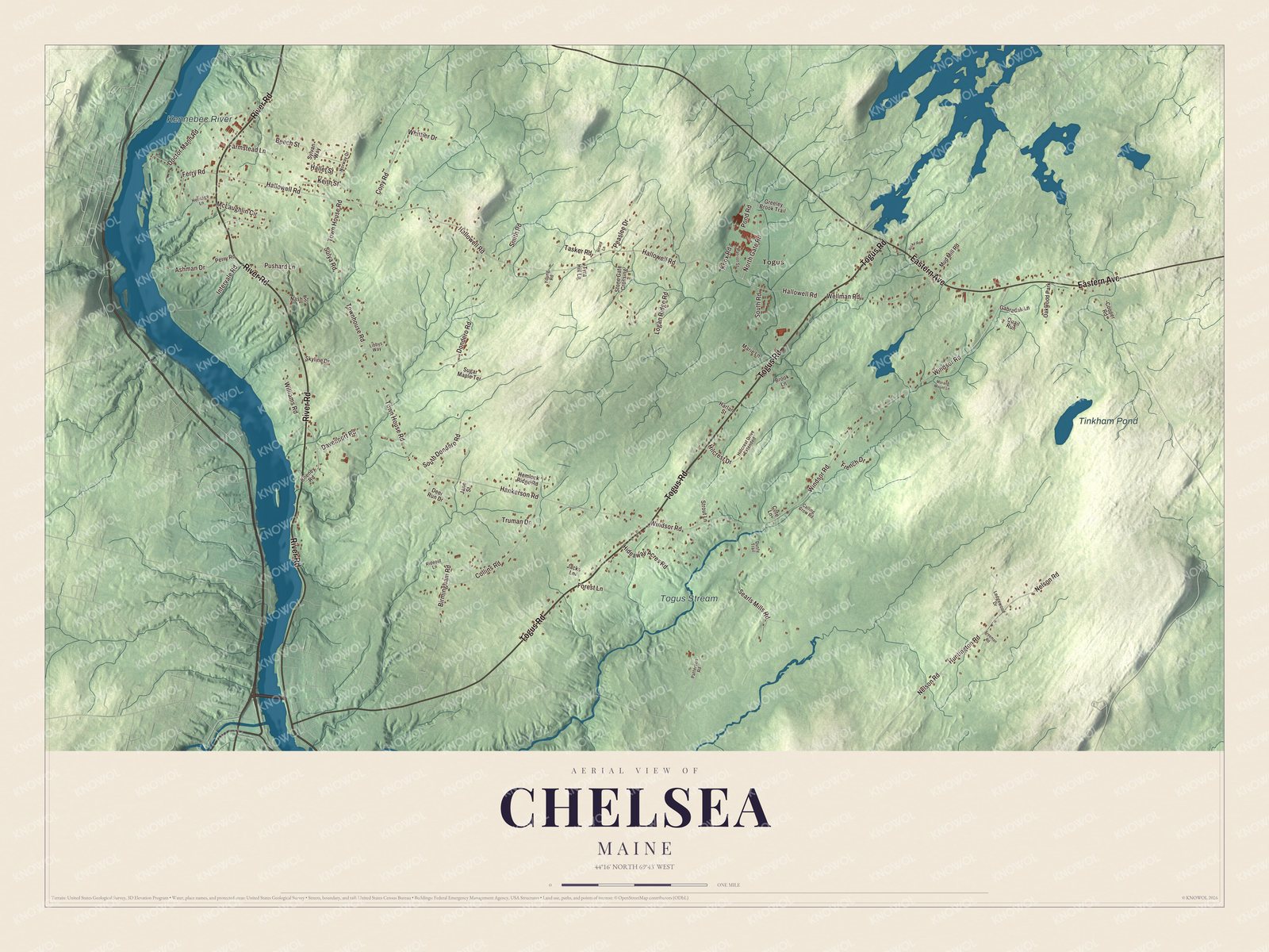
Click to explore a larger preview. The digital watermark does not appear on printed maps.
See it on a wall
The Chelsea map as a framed print. Swipe for more.


River Road and Togus Road
Togus Road is printed on the map. It’s the local name for State Route 226, which was designated in 1934 to serve the veterans center and runs from Randolph to Eastern Avenue, which is State Route 17. Eastern Avenue is printed too.
River Road is printed on the map as well. It’s State Route 9 here, and on its west side stands the John Davis House, a Federal brick house probably built between 1815 and 1820. It was most likely the work of John Davis, a housewright well known in the region, and local historians believe he built a number of similar houses in the towns around Chelsea. North Gate Road and Wellman Road are printed on the map, and so are Togus Stream, Tinkham Pond and the Kennebec River.
This Chelsea map makes a fine addition to an office, library or den, and it can help teach children the geography and history of the area. It’s made for everyone who calls Chelsea home, from Togus to River Road, as it looks today. Zoom in on the preview above to explore the details, then click here to get your copy of the Chelsea, Maine map.

Sources