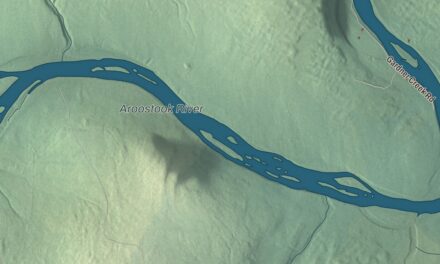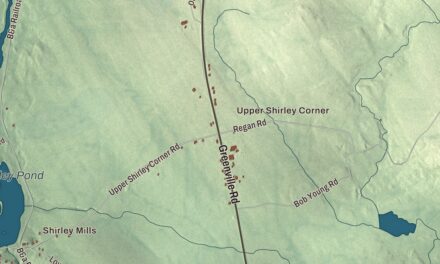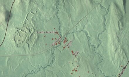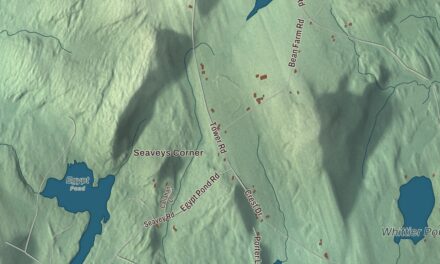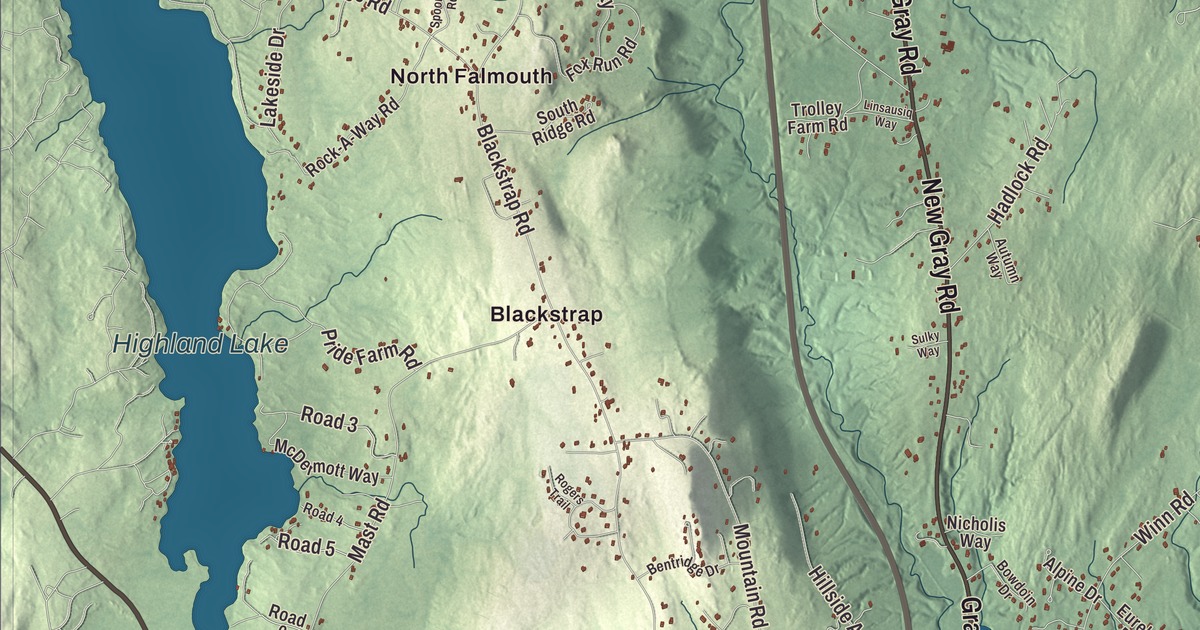
Blackstrap and North Falmouth give you two familiar places to begin on this Falmouth map. Middle Road, Longwoods Road and Blackstrap Road are printed by name, along with Highland Lake. Click here to purchase a print of this map for your wall.
Falmouth is a town in Cumberland County, beside Casco Bay and north of Portland.
KNOWOL made this map in 2026 from public survey data, with the look of an old atlas. United States Geological Survey elevation data gives the terrain its shading, and the roads and town boundary come from Census Bureau files. The buildings, neighborhoods, ponds and waterways are brought together in an aerial view of the town, which had 12,444 residents at the 2020 census.
A town that once included Portland
The name Falmouth goes back to 1658, when Massachusetts took control of this part of Maine and renamed the area. The town was formally incorporated in 1718. Its original boundaries covered much more than the town we know today, including what became Portland, South Portland, Cape Elizabeth and Westbrook. Present-day Falmouth was called New Casco within that larger town.
Long before those boundaries, Wabanaki people lived along the lower Presumpscot River. Their summer settlement had fields of corn, beans and squash. English settlers formed a separate parish in 1753, and farming, fishing and cutting ships’ masts became local occupations. Mills worked along the Presumpscot, the Piscataqua River in West Falmouth and Mussel Cove.
Cape Elizabeth, then including South Portland, separated in 1765. Portland followed in 1786, and Westbrook in 1814. Falmouth remained a distinct town. In the nineteenth century its businesses included shipbuilding, brickmaking, a tannery and mills, as well as makers of boots, shoes, tinware and carriage parts.
A Falmouth astronomer
William Cranch Bond was born in Falmouth in 1789 and learned clockmaking from his father. He later moved his astronomical instruments to Harvard and became the first director of Harvard College Observatory. With his son George Phillips Bond, he discovered Saturn’s moon Hyperion; William Lassell made an independent discovery in Britain and also receives credit.
The Bonds worked with photographer John Adams Whipple on early photographs of the sky. In 1850 they made a daguerreotype of Vega, described in Bond’s biography as the first daguerreotype of a star taken from America. The achievements were made at Harvard, but Bond’s story began here in Falmouth.
Mackworth Island
Former governor Percival Baxter donated Mackworth Island to the state in 1943. The island holds the Governor Baxter School for the Deaf and a public walking trail around its edge. It’s one of the coastal places in a town that also reaches inland toward Windham and Westbrook.
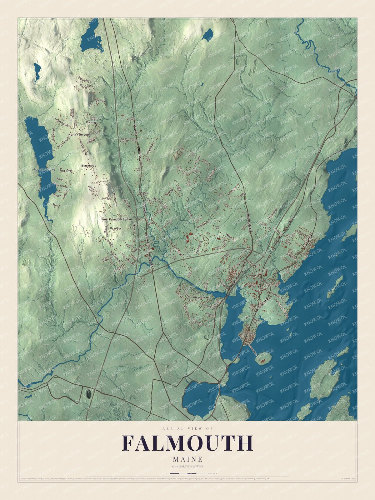
Click to explore a larger preview. The digital watermark does not appear on printed maps.
See it on a wall
The Falmouth map as a framed print. Swipe for more.


From Blackstrap to the Foreside
Find Blackstrap and North Falmouth, then look for Pleasant Hill and West Falmouth Corner. Gray Road and New Gray Road are printed alongside Middle Road, Longwoods Road, Foreside Road and Blackstrap Road. Highland Lake has its own printed name, and the smaller streets and building patterns fill in the aerial view.
Falmouth borders Cumberland to the northeast, Windham to the northwest, and Portland and Westbrook to the southwest. The Presumpscot River drains the town into Casco Bay. Its coastal and inland neighborhoods all belong to the same municipality, even though the old Falmouth once extended across several of today’s town lines.
For people who call Falmouth home, this map brings Blackstrap, North Falmouth and the lake into one view as it looks today. It can hang in an office, library or den, or help teach children the geography and history of their town. Zoom in on the preview above to explore the details, then click here to get your copy of the Falmouth, Maine map.

Sources