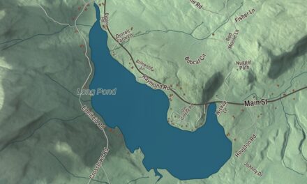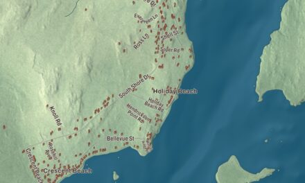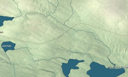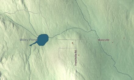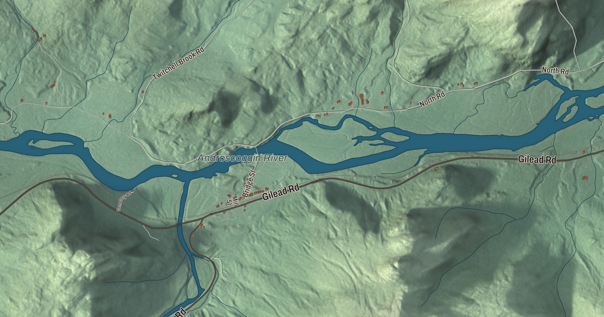
Gilead Road and the Androscoggin River are names to look for on this Gilead map. Evans Notch Road gives you another starting point in the aerial view. Click here to purchase a print of this map for your wall.
Gilead is a town in Oxford County, beside the New Hampshire border.
KNOWOL made this map in 2026 from public survey records, combining modern geography with the look of a vintage atlas. United States Geological Survey elevation data shapes the terrain, and Census Bureau files supply the roads and municipal boundary. Buildings, ponds and waterways complete the aerial view.
Peabody’s Patent becomes a town
In 1772, Oliver and John Peabody and John and Samuel Bodwell purchased the tract that became Gilead. The grant was known as Peabody’s Patent. When the community incorporated in 1804, it took its name from the balm of Gilead trees growing in the town center.
Twenty families lived here at incorporation, according to the town history. The 2020 census recorded 195 residents. Gilead remains a distinct town, with its roads and buildings set within the municipal boundary shown on this map.
A depot that came home
Gilead’s former railroad station dates to 1851. The small wooden building has a central entrance and an interior divided into a larger room and a former stationmaster’s office. It was moved to Auburn in 1991, restored and used there as an office building, then returned to Gilead in 2011.
The Gilead Historical Society maintains the station. The building has moved more than once over its history, and its restored interior has also been altered for different uses.
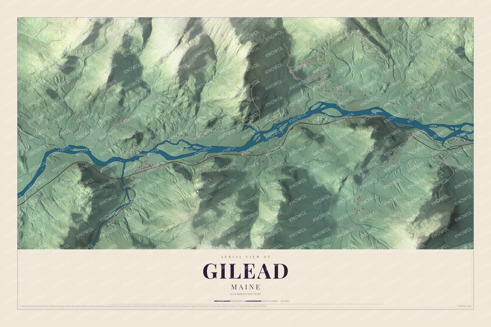
Click to explore a larger preview. The digital watermark does not appear on printed maps.
See it on a wall
The Gilead map as a framed print. Swipe for more.


Exploring the Gilead map
Gilead Road, Evans Notch Road and Hydro Road are printed on the artwork. North Road, Bog Road and Gordon Mount Road appear by name as well. Start with the road you know, then follow its shape through the wider view of the town.
Androscoggin River has its own printed name. Gilead is on the Maine side of the state line along the regional road route from New Hampshire. The river, terrain and town boundary give context to the local roads.
For people who call Gilead home, the map brings familiar roads and places together as it looks today. Hang it in an office, library or den, or use it to teach children the geography and history of the area. Zoom in on the preview above to explore the details, then click here to get your copy of the Gilead, Maine map.

Sources