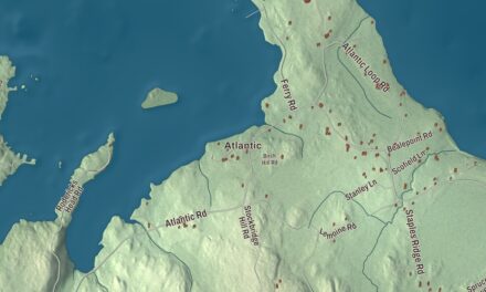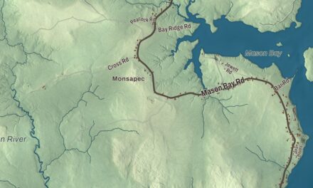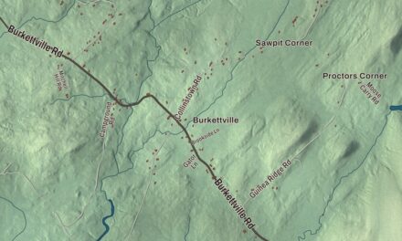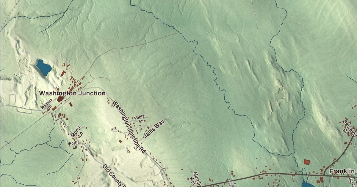
Washington Junction and Franklin Road give you familiar places to begin on the Hancock map. Hancock Point, the coves and Taunton Bay bring the coastal town into view. Click here to purchase a print of this map for your wall.
Hancock is a town in Hancock County, beside Frenchman Bay and Taunton Bay.
KNOWOL made this map in 2026 from public survey records, with modern geography and the look of a vintage atlas. United States Geological Survey elevation data gives the terrain its shading. Census Bureau files supply the roads and municipal boundary, with buildings and water features brought together in the aerial view.
Mills and seafaring
Hancock incorporated in 1828 from parts of Sullivan, Trenton and Plantation Number 8. The name honors John Hancock, a signer of the Declaration of Independence. Earlier settlement included people from Georgetown, and the town had 2,466 residents at the 2020 census.
The Kilkenny and Egypt streams supplied water power for mills. Local production included shingles, laths, lumber and barrel staves, as well as wagons and sleighs. Seafaring was another occupation, including fishing at the Grand Banks.
Learning to conduct in Hancock
Pierre Monteux and his wife Doris established a school for conductors in Hancock, her hometown. Monteux maintained homes here and in San Francisco after moving permanently to the United States in 1942. The school later took his name and became the Monteux School and Music Festival in 2018.
The school’s approach asks conductors to play in the orchestra as well as lead it. That practice reflects Monteux’s own background as a violinist and violist. The town’s musical history sits alongside its coastal and manufacturing traditions.
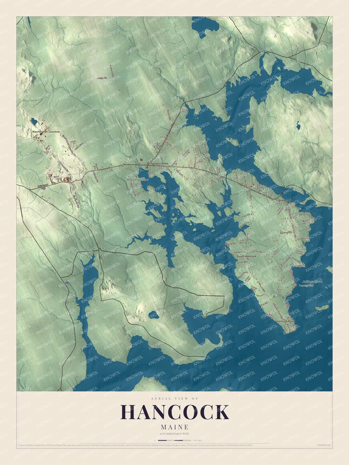
Click to explore a larger preview. The digital watermark does not appear on printed maps.
See it on a wall
The Hancock map as a framed print. Swipe for more.


A closer look at Hancock
Find Washington Junction, Hancock Point, South Hancock and Waukeag. Franklin Road, Old County Road, Hancock Point Road, Eastside Road, Point Road and Thorsen Road carry printed names.
Kilkenny Cove, Jellison Cove and Taunton Bay are named on the map. Hancock is drained by Kilkenny Stream and Egypt Stream and lies beside coastal waters. The roads, buildings, coastline and terrain are brought together within the town boundary.
For people who call Hancock home, the map brings familiar places together as it looks today. It can hang in an office, library or den, or help teach children the geography and history of the area. Zoom in on the preview above to explore the details, then click here to get your copy of the Hancock, Maine map.

Sources