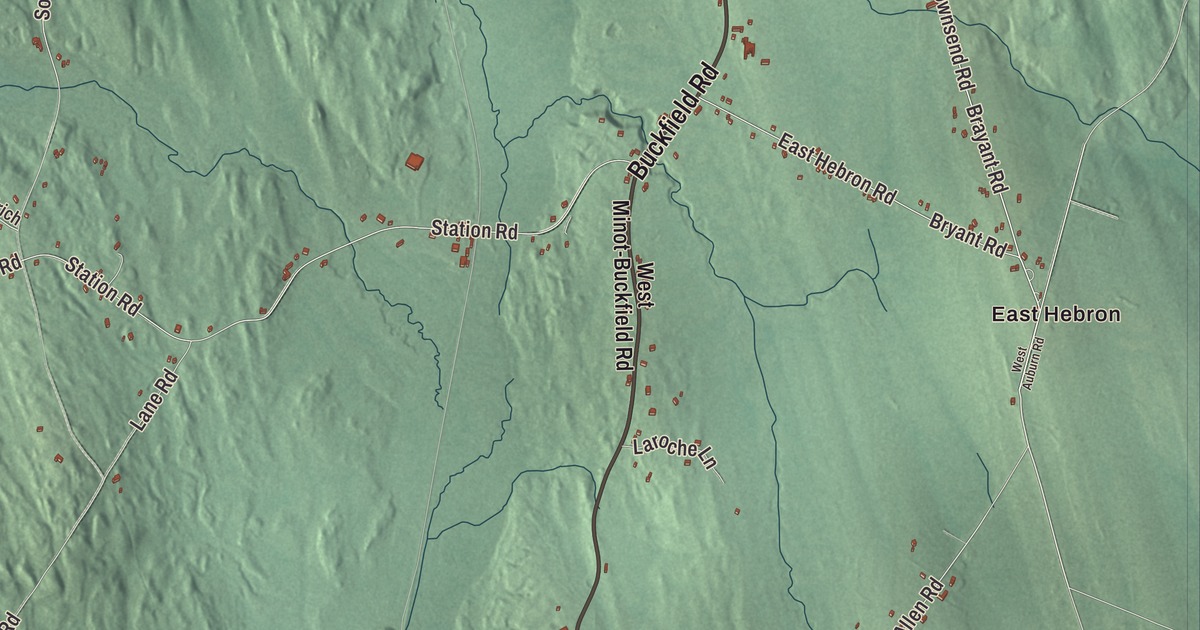
East Hebron and Station Road give you familiar places to find on the Hebron map. Paris Road and Buckfield Road are named too, with the town’s buildings and terrain in the same view. Click here to purchase a print of this map for your wall.
Hebron is a town in Oxford County.
KNOWOL made this map in 2026 from public survey records, combining modern geography with the look of a vintage atlas. United States Geological Survey elevation data shades the terrain. Census Bureau files supply the roads and municipal boundary, with buildings and waterways brought together in an aerial view.
A grant for a coastal survey
The Massachusetts General Court granted the land to Alexander Shepard Jr. in 1777 as payment for his work on a survey chart of the Maine coast. The community was called Shepardsfield Plantation, and early residents also used Bog Brook Plantation. It was incorporated as the town of Hebron in 1792.
Hebron’s southwestern portion became the town of Oxford in 1829. Agriculture was a principal occupation, with hay among the crops and orchards part of the farming landscape. The outlet of Marshall Pond supplied power for local mills and workshops. Hebron had 1,223 residents at the 2020 census.
The academy and Station Road
Hebron Academy was founded in 1804, with Deacon William Barrows Jr. involved in its establishment. It developed as a boarding and day school preparing boys and girls for college. Its alumni include Leon Leonwood Bean and Hannibal Hamlin.
Station Road is also the location of Hebron Station School in the town profile. The academy and elementary school are separate parts of local education. Their histories and roles give a specific connection between the town’s schools and its map geography.
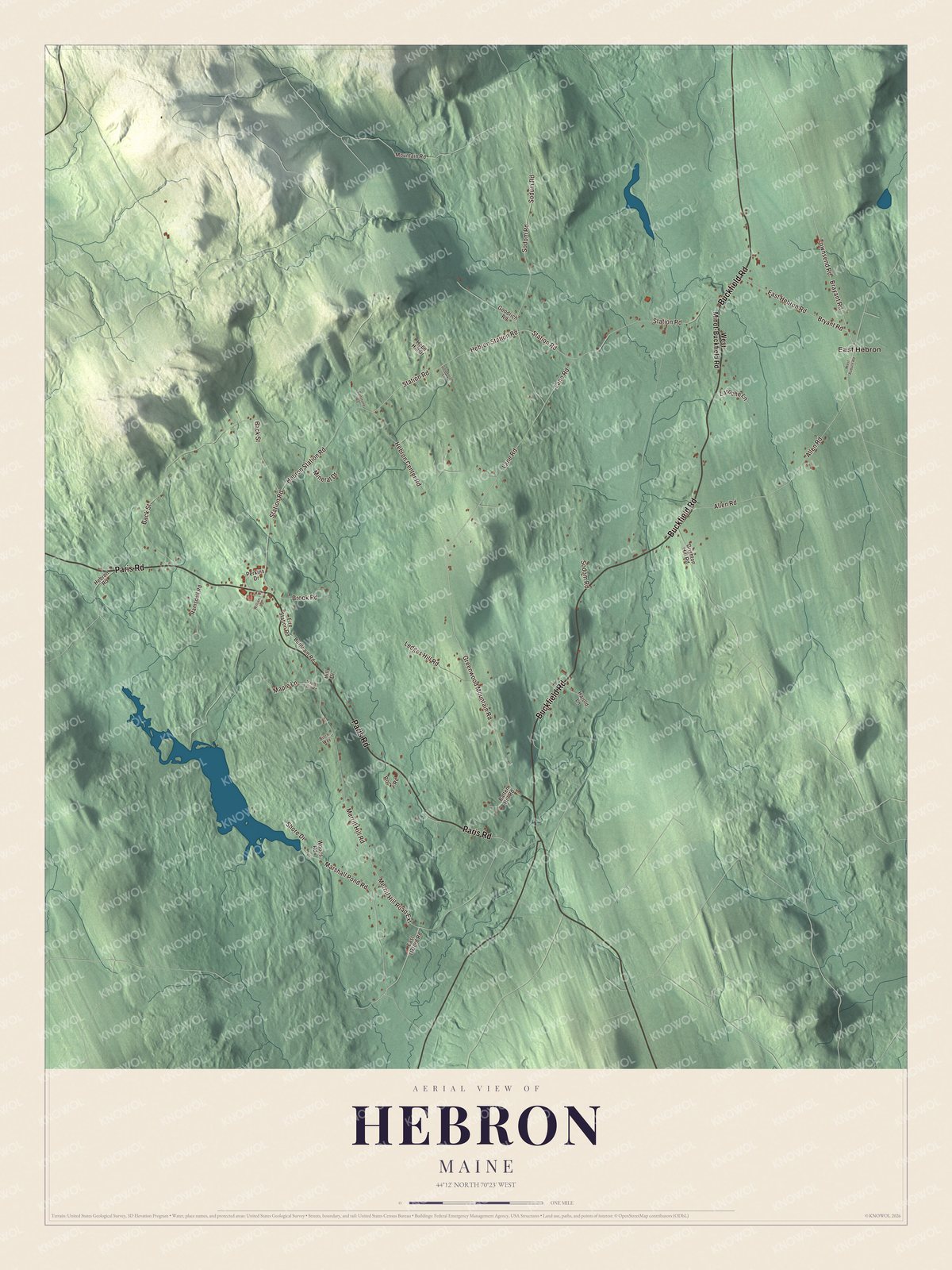
Click to explore a larger preview. The digital watermark does not appear on printed maps.
See it on a wall
The Hebron map as a framed print. Swipe for more.


Exploring Hebron
East Hebron is printed on the artwork. Paris Road, Buckfield Road, Station Road, Greenwood Mountain Road, Brayant Road and Townsend Road carry printed names as well. These names give you places to return to as you explore the smaller roads and building patterns.
Hebron borders Buckfield, Oxford, Paris, Turner and Minot. Its geography includes several brooks that drain the town. The roads, terrain and present municipal boundary bring the area together in one aerial view.
For people who call Hebron home, this map brings familiar roads and places together as it looks today. It can hang in an office, library or den, or help teach children the geography and history of the area. Zoom in on the preview above to explore the details, then click here to get your copy of the Hebron, Maine map.

Sources