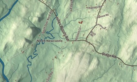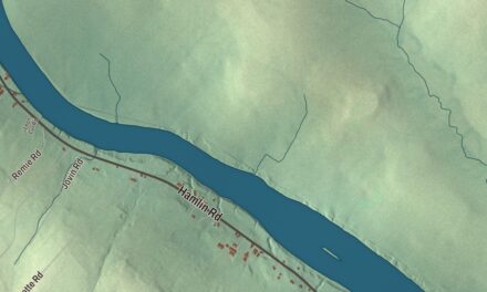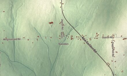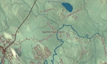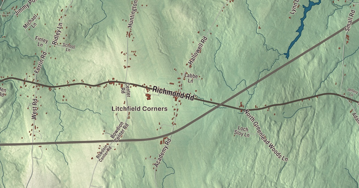
Litchfield Corners and Purgatory are starting points for this Litchfield map. Look for Richmond Road, Woodbury Pond and the buildings around the roads you know. Click here to purchase a print of this map for your wall.
Litchfield is a town in Kennebec County.
KNOWOL made this map in 2026 from public survey records, United States Geological Survey elevation data and Census Bureau files. Its atlas layout brings together Litchfield’s streets, buildings, neighborhoods, ponds and waterways, and terrain, the town boundary and the pattern of buildings.
Apples, radio and the Common Ground fair
Litchfield was organized as Smithfield Plantation in 1793 and incorporated as a town in 1795. Its early industries included granite quarrying and brickmaking, and residents planted numerous apple orchards.
Frank C. Wyman installed steam power at his cider mill on Upper Pond Road by 1878. He also ran a factory that canned apples, applesauce and corn.
Radio station WBLM began broadcasting from Oak Hill in Litchfield in 1973; its studios later moved to Auburn and Portland. The first Common Ground Country Fair took place at the Litchfield Fairgrounds in 1977, before the fair moved to Windsor in 1981.
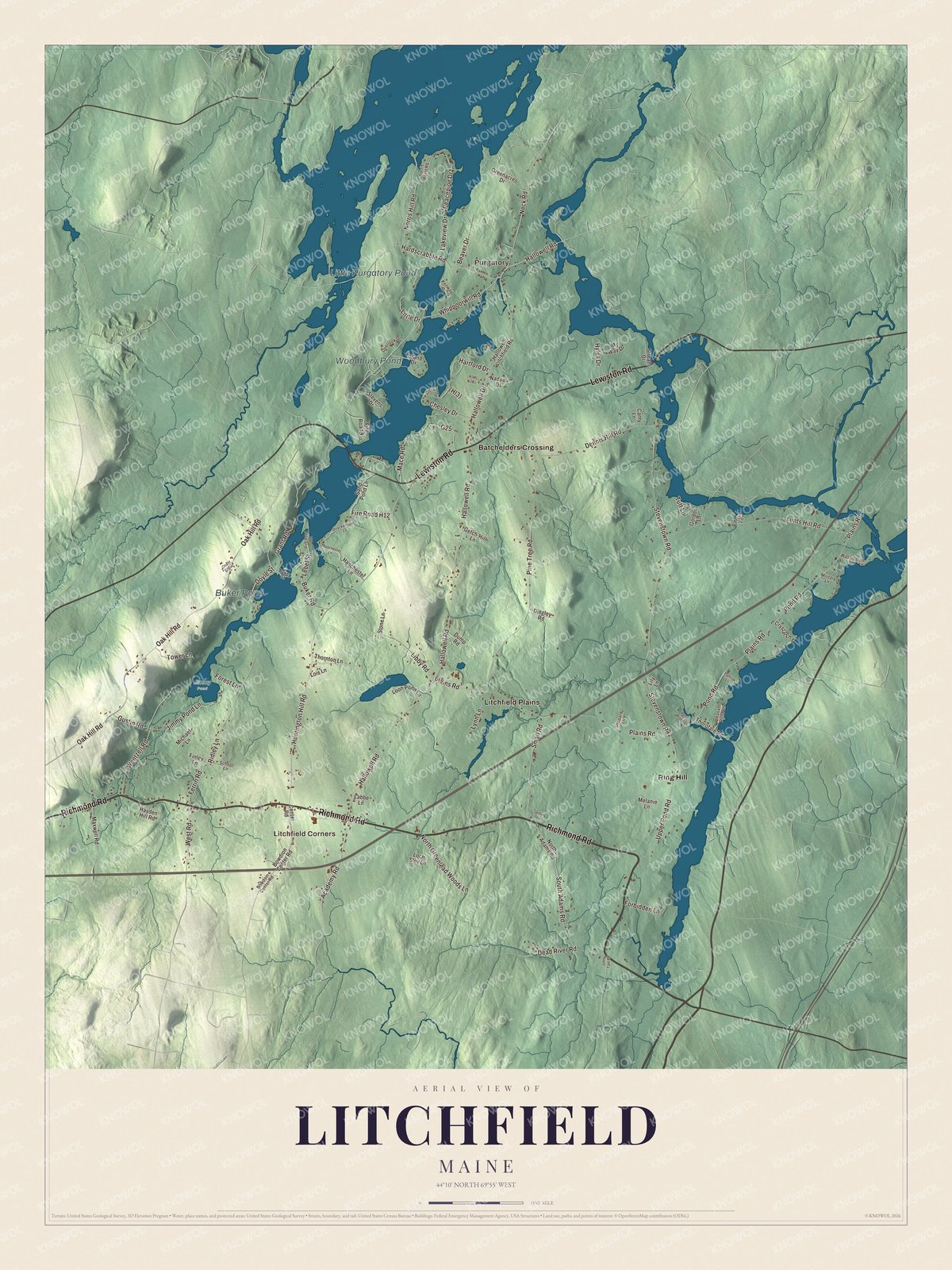
Click to explore a larger preview. The digital watermark does not appear on printed maps.
See it on a wall
The Litchfield map as a framed print. Swipe for more.


Explore the Litchfield map
Litchfield Corners and Purgatory are printed places, along with Batchelders Crossing, Litchfield Plains and Ring Hill. Richmond Road, Lewiston Road and Hardscrabble Road are roads to find in the aerial view.
Whippoorwill Road, South Adams Road and West Road are printed too. Woodbury Pond, Buker Pond and Little Purgatory Pond are labeled on the artwork; compare them with the buildings and terrain.
For people who call Litchfield home, this map shows the town as it looks today. Put it in your office, library, or den, or use it to teach children the geography and history of the area. Zoom in on the preview above to explore the details, then click here to get your copy of the Litchfield, Maine map.

Sources