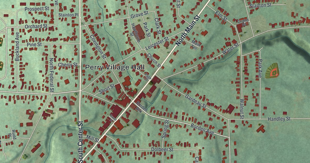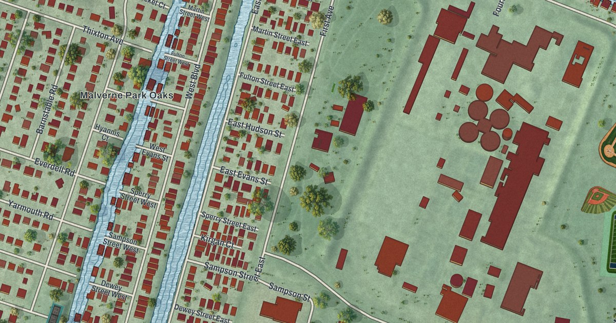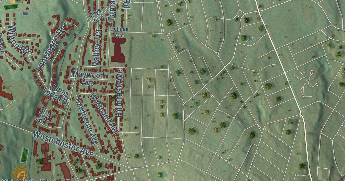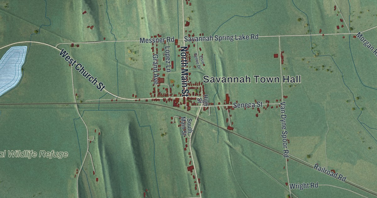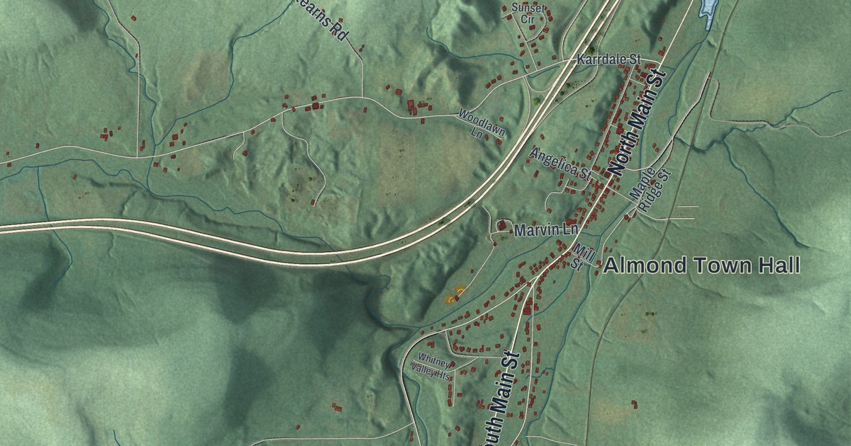
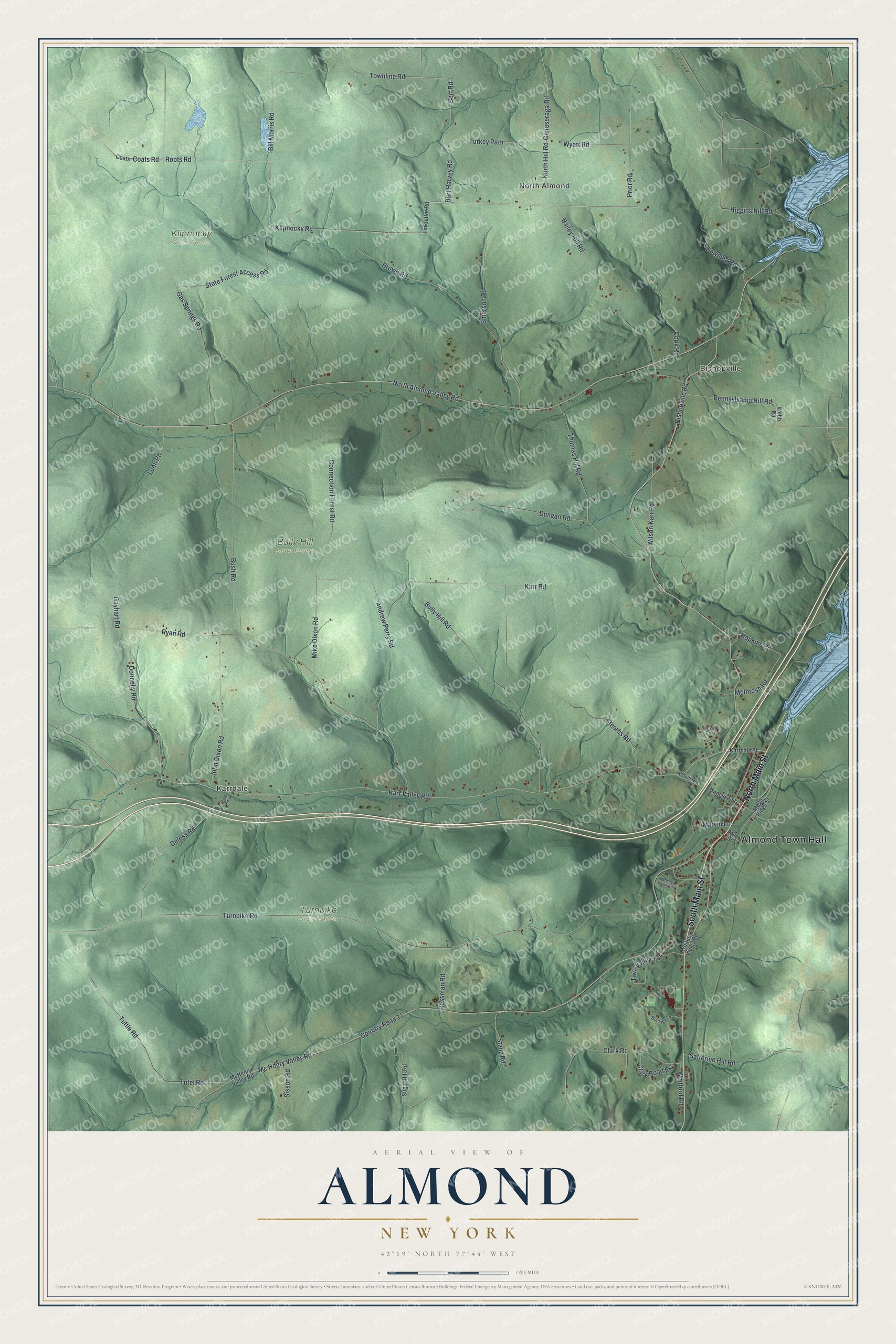
This beautifully detailed map of Almond, New York was created in 2026 using aerial imagery combined with modern topographical, census, street and landmark data. It’s a one-of-a-kind view of Almond that combines accurate data with a vintage aesthetic. The map shows every building in its true location, many of the roads carry their names, and the shaded topographic relief shows the shape of the land.
Explore an aerial view of Almond, New York
On the map you’ll find Almond Town Hall, North Almond, Bishopville, Karrdale, Bully Hill State Forest, Klipnocky State Forest, and Turnpike State Forest, along with Main Street, Hill Road, Cook Road, Klipnocky Road, and more. If you look closely you can even find your house accurately drawn in its correct location. Zoom in on the preview to look for yours.
Did You Know?
Town historian John Reynolds wrote that Almond was named for a place in Scotland, not for the nut. Almonds would hardly have reached this wilderness when the town was named. So the name is not said like the nut. It begins with the same sound as Alfred and Alma.
Take a closer look at the Almond map
Names on this map
These names are printed on this map.
Places: Almond Town Hall, North Almond, Bishopville, Karrdale, Bully Hill State Forest, Klipnocky State Forest and Turnpike State Forest.
Streets and roads: South Main Street, North Main Street, North Almond Valley Road, North Hill Road, Cook Road, Klipnocky Road, Bishopville Road, Bush Road, Hopkins Road, Bert Harvey Road, Karr Valley Road, Roots Road.
More street names, A to Z
Andrew Perry Road, Angelica Street, Bailey Hill Road, Bert Road, Bill Morris Road, Brown Road, Buckley Lane, Bully Hill Road, Canaseraga Road, Clark Road, Clark Road Extension, Coats, Coats Road, Connection Forest Road, Country Road 11, Deloss Road, Donnelly Road, Downing Road, Dungan Road, Emerson Road, Gas Springs Road, Gayhart Road, Higgins Hill Road, John Dixon Road, Karrdale Street, Karr Road, Linkletter Road, Lunn Road, Maple Ridge Street, Marvin Lane, Mc Henry Valley Road, McHenry Valley Road, McIntosh Road, Mike Dixon Road, Mill Street, Paige Road, Pennsylvania Hill Road, Prior Road, Rossman Road, Ryan Road, Satterlee Hill Road, Sisson Road, Stanz Road, State Forest Access Road, Stearns Road, Sugar Hill Road, Sunset Circle, Thomas Hill Road, Townline Road, Turkey Path, Turnpike Road, Tutel Road, Tuttle Road, Twin Valley Terrace, Webb Road, Whitford Road, Whitney Valley Heights, Whitney Valley Road, Wilson Karr Road, Woodlawn Lane, Wyatt Road.
See it on a wall
The Almond map as a framed print. Swipe for more.


This beautifully detailed map of Almond makes an attractive addition to your office, library, or den, and it can even be used to teach children the geography and history of the area. It also makes a great gift for someone who left Almond and still calls it home. When you’re done exploring, click here to get your copy of the Almond map.