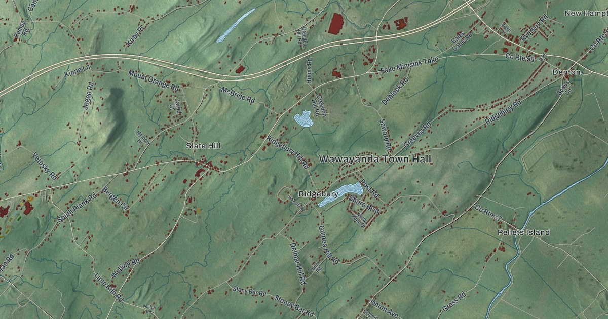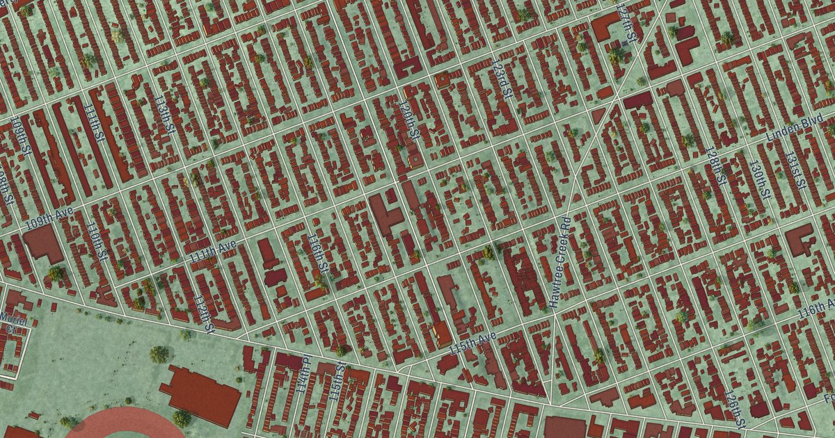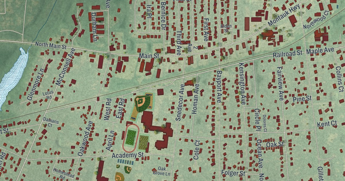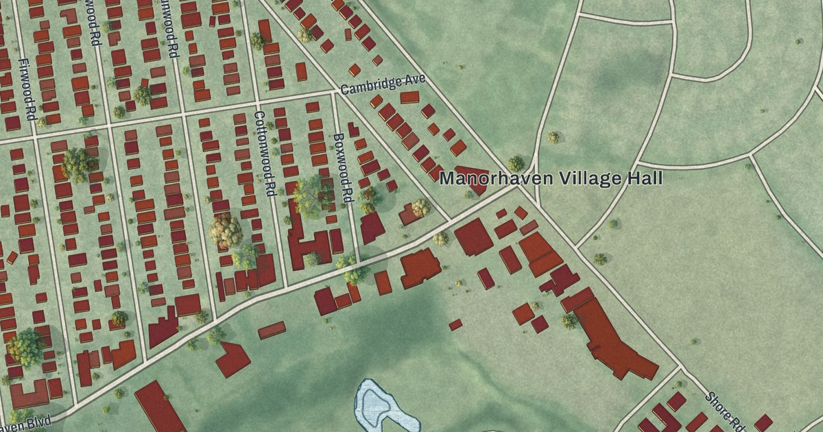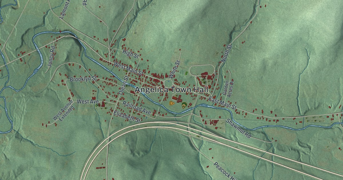
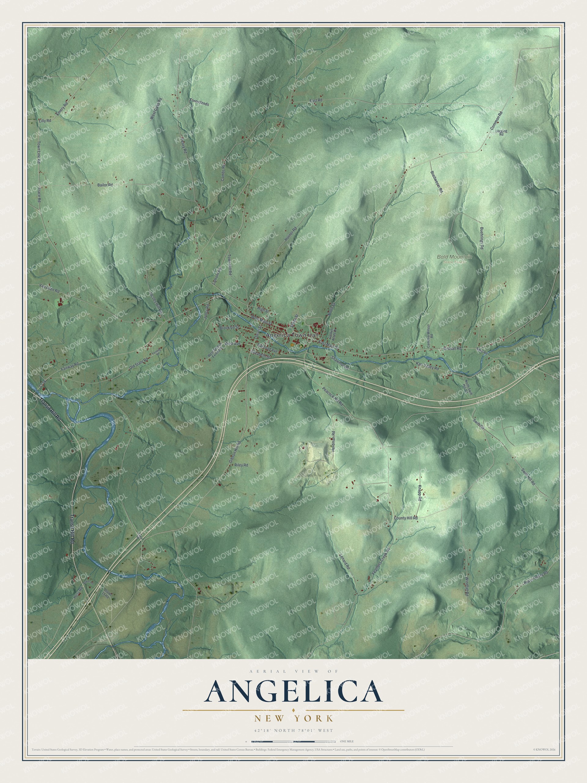
This beautifully detailed map of Angelica, New York was created in 2026 using aerial imagery combined with modern topographical, census, street and landmark data. It’s a one-of-a-kind view of Angelica that combines accurate data with a vintage aesthetic. The map shows every building in its true location, many of the roads carry their names, and the shaded topographic relief shows the shape of the land.
Explore an aerial view of Angelica, New York
On the map you’ll find Angelica Town Hall and Bald Mountain State Forest, along with Transit Hill Road, Emery Road, Swift Road, Swift Hill Road, and more. If you look closely you can even find your house accurately drawn in its correct location. Zoom in on the preview to look for yours.
Did You Know?
Captain Philip Church named Angelica for his mother, Angelica Schuyler Church. She was the eldest daughter of General Schuyler. Philip’s father won the land when Robert Morris failed to pay a debt, and Philip took it over in 1800. He laid out the village like Paris, with streets meeting at a central circle.
Take a closer look at the Angelica map
Names on this map
These names are printed on this map.
Places: Angelica Town Hall and Bald Mountain State Forest.
Streets and roads: Transit Hill Road, Cr 16, County Hill Road, Emery Road, Swift Road, Swift Hill Road, Gibson Hill Road, Horner Road, Town Line Road, North Street, Common Road, Peavy Road.
More street names, A to Z
Bailor Road, Baker Road, Baker Valley Road, Birdsall Road, Breitweser Road, Brooklyn Street, Buehrings Road, Cambria-Wilson Road, Camp Road, Combs Road, East Main Street, East Road, Elizabeth Street, Fairway Road, Feathers Creek Road, Fleming Road, Forestlands, Frace Road, Golden Acres Drive, Herdman Road, Hess Road, High Street, Jacobs Hill Road, Joncy Road, Karr Valley Road, Knapp Road, Lamont Road, Lenard Road, Lilly Road, Logging Road, North Swift Hill Road, Old Rt 19 Road, Old State Road, Olean Street, Peacock Hill Road, Railroad Avenue, Riley Road, Rose Road, Shawmut Road, Town Hill Road, Van Allen Road, West Avenue, West Avenue Extended, West Main Street, West Oaks Road, White Street, Windfall Road.
See it on a wall
The Angelica map as a framed print. Swipe for more.


This beautifully detailed map of Angelica makes an attractive addition to your office, library, or den, and it can even be used to teach children the geography and history of the area. It also makes a great gift for anyone with Angelica roots. When you’re done exploring, click here to get your copy of the Angelica map.