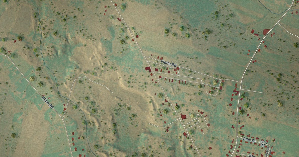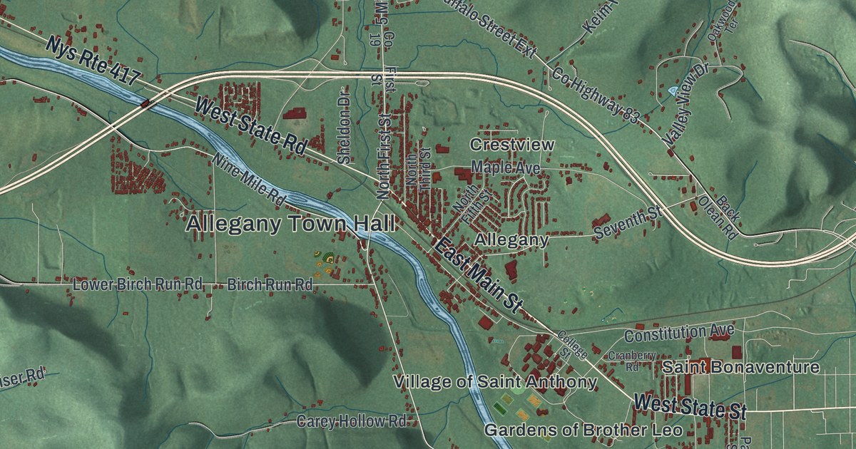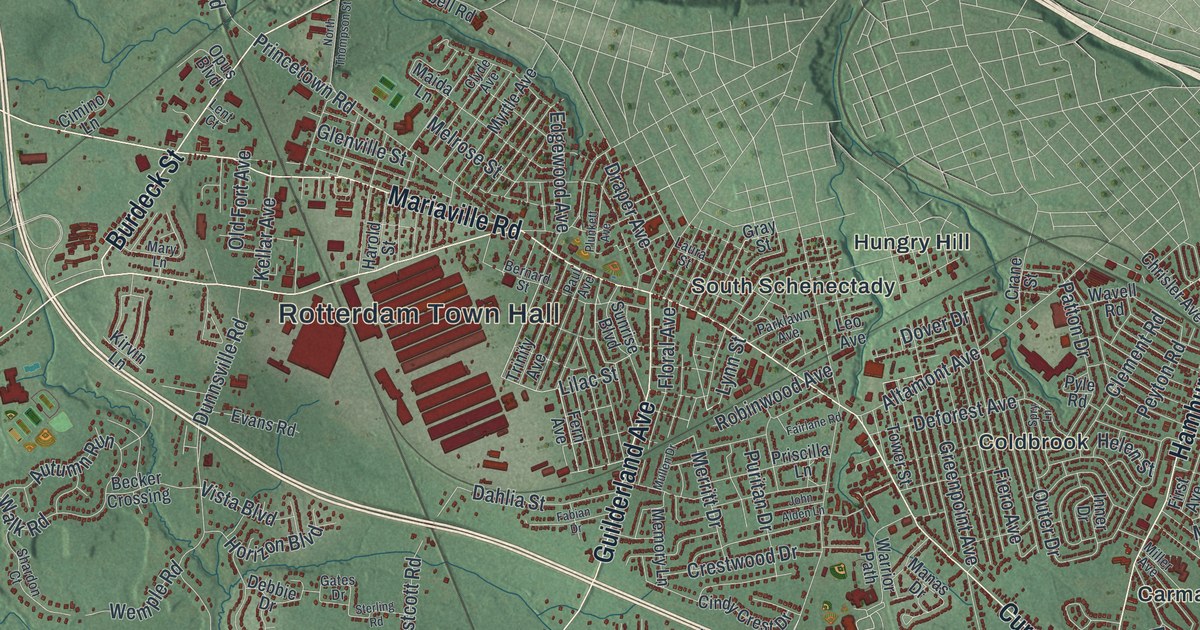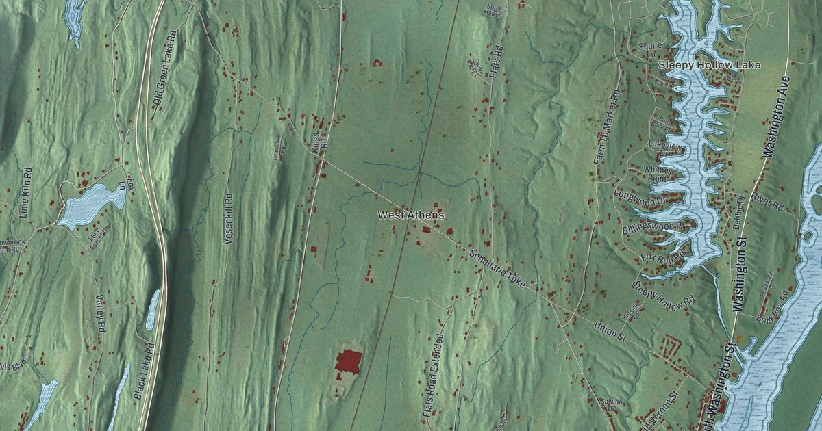
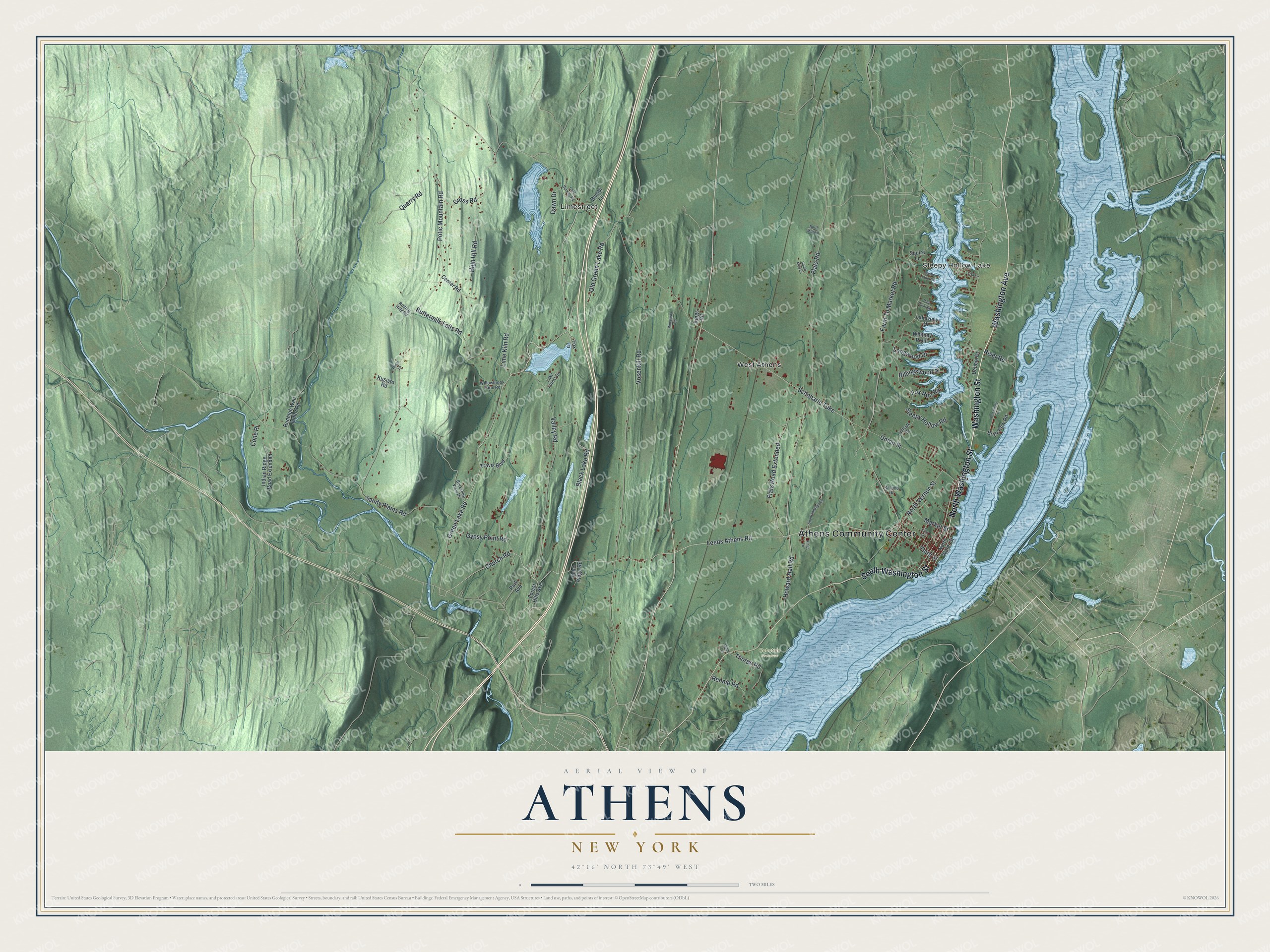
This beautifully detailed map of Athens, New York was created in 2026 using aerial imagery combined with modern topographical, census, street and landmark data. It’s a one-of-a-kind view of Athens that combines accurate data with a vintage aesthetic. The map shows every building in its true location, many of the roads carry their names, and the shaded topographic relief shows the shape of the land.
Explore an aerial view of Athens, New York
On the map you’ll find Athens Community Center, Sleepy Hollow Lake, Limestreet, West Athens, and Cohotate Preserve, along with Washington Street, Washington Avenue, Green Lake Road, Leeds Athens Road, and more. If you look closely you can even find your house accurately drawn in its correct location. Zoom in on the preview to look for yours.
Did You Know?
Ice harvesting once thrived in Athens. Workers cut ice cakes, stored them in huge waterfront icehouses and shipped them to New York City each summer. Mechanical refrigeration ended that trade, and the icehouses stood empty. Then growers found the windowless, well-insulated buildings ideal for mushrooms. By 1940 they held trays sprouting millions of them. That’s from the 1940 WPA guide to New York.
Take a closer look at the Athens map
Names on this map
These names are printed on this map.
Places: Athens Community Center, Sleepy Hollow Lake, Cohotate Preserve, Limestreet and West Athens.
Streets and roads: Washington Street, Washington Avenue, North Washington Street, South Washington Street, Green Lake Road, Leeds Athens Road, Church Road, Schoharie Turnpike, Potic Mountain Road, Sleepy Hollow Road, Vosenkill Road, Sandy Plains Road.
More street names, A to Z
Bambi Lane, Berkshire View Drive, Billingswood Place, Black Lake Road, Brick Row Road, Buttermilk Falls Road, Castle Point Road, Center Road, Cold Springs Road, Cone Place, Cross Road, Dawn Drive, Debbie Drive, Echo Ridge Road, Farm To Market Road, First Street, Flats Road, Flats Road Extended, Forest Hills Avenue, Fox Lane, Fox Run Road, Gypsy Point Road, High Hill Road, Hillside Drive, Howard Hall Road, Indian Ridge Road Extended, Kings Lane, Kings Road, Kusisto Road, Lake Forest Drive, Lakeview Drive, Lime Kiln Road, Lisa Lane, Longwood Drive, Market Street, North Mud Lane, North Vernon Street, North Water Street, Old Green Lake Road, Park Avenue, Petramale Lane, Pine Point Road, Pineview Road, Quarry Road, Rennie Road, River Road, Rolling Hills Road, Rossi Lane, Rudolph Weir Junior Road, Salvino Drive, South Mud Lane, Spoorenburgh Road, Squire Lane, Third Street, Thorpe Road, Travis Boulevard, Union Street, Valley Road, Waltz Lane, Whitney Point, Willowbrook Farm Road.
See it on a wall
The Athens map as a framed print. Swipe for more.


This beautifully detailed map of Athens makes an attractive addition to your office, library, or den, and it can even be used to teach children the geography and history of the area. It also makes a great gift for anyone with Athens roots. When you’re done exploring, click here to get your copy of the Athens map.