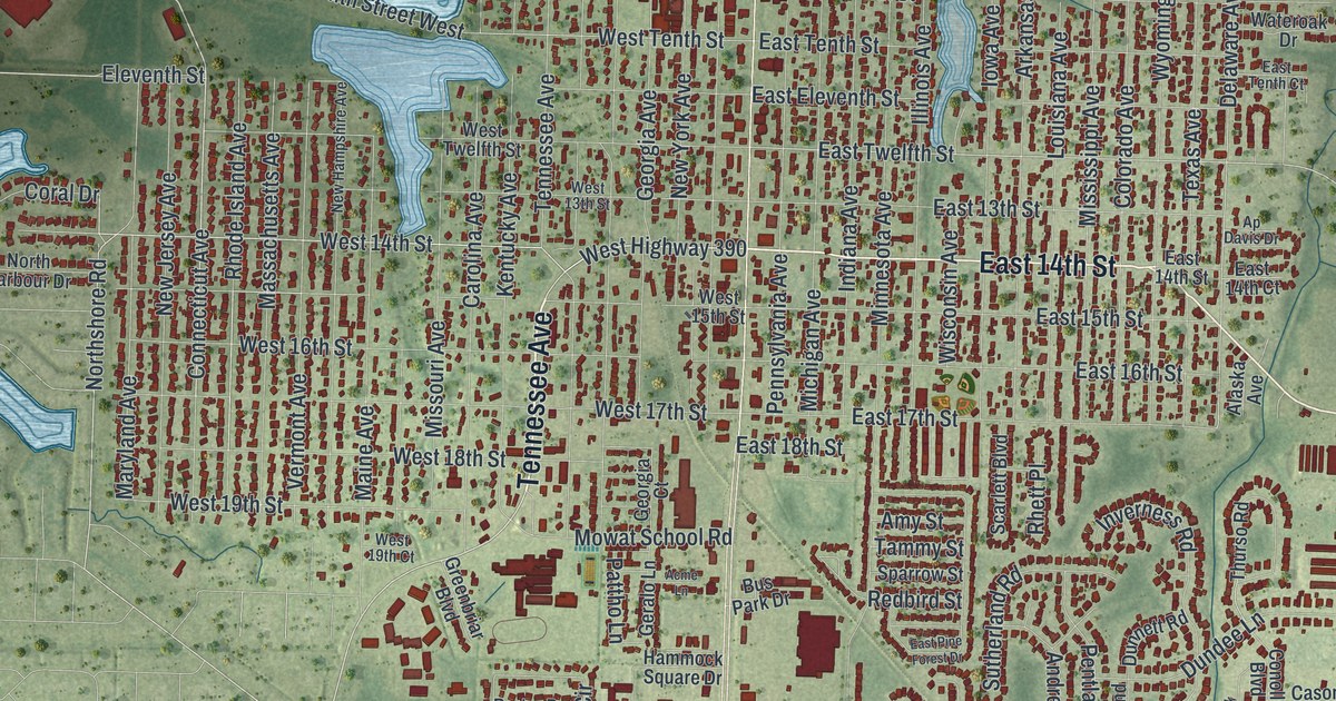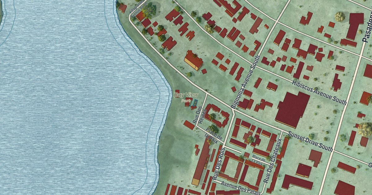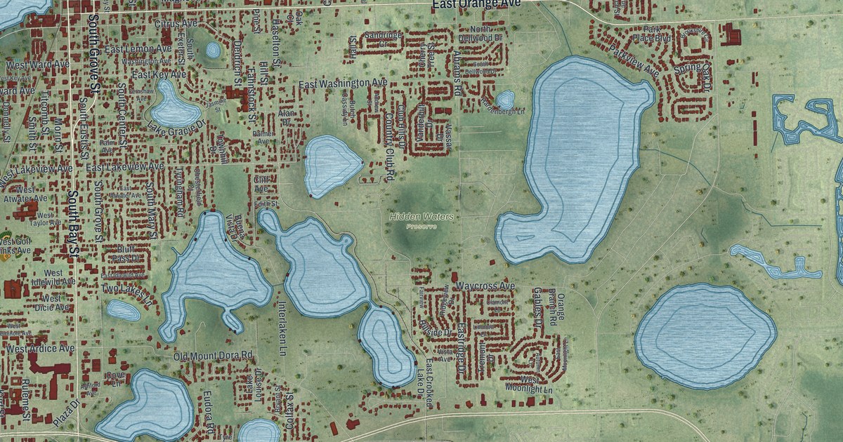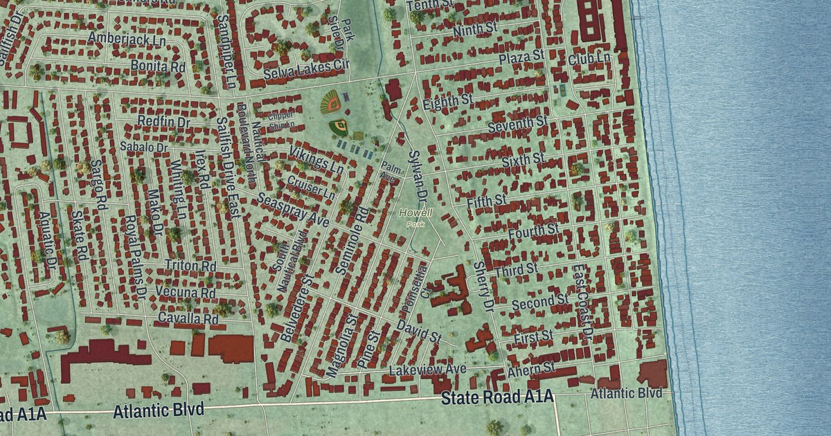
This beautifully detailed map of Atlantic Beach, Florida was created in 2026 using aerial imagery combined with modern topographical, census, street and landmark data. It’s a one-of-a-kind view of Atlantic Beach that combines accurate data with a vintage aesthetic. The map shows every building in its true location, many of the roads carry their names, and the shaded topographic relief shows the shape of the land.
Explore an aerial view of Atlantic Beach, Florida
On the map you’ll find Donner, Atlantic Ocean, and Howell Park, along with State Road A1A, Mayport Road, Atlantic Boulevard, Fleet Landing Boulevard, Orbit Drive, Donners Road, Eleventh Street, Dutton Road, Sandpiper Lane, and more. If you look closely you can even find your house accurately drawn in its correct location. Zoom in on the preview to look for yours.
Did You Know?
Around 1900, Henry Flagler and Isaac George built the Continental Hotel, a 250-room summer resort. It was renamed the Atlantic Beach Hotel in 1913. During World War I, visitors avoided the coast and the developer went bankrupt. The hotel burned in 1919, but land sales picked up after the war.
Take a closer look at the Atlantic Beach map

Names on this map
These names are printed on this map.
Places: Donner and Howell Park.
Streets and roads: Mayport Road, Atlantic Boulevard, Orbit Drive, Oceanwalk Drive South, Cornell Lane, Fleet Landing Boulevard, West 14th Street, Eleventh Street, Linkside Drive, Donners Road, Sandpiper Lane, Mealy Street.
More street names, A to Z
13th Street, 14th Street, 15th Street, 16th Street, 17th Street, 18th Street, 19th Street, 20th Street, Ahern Street, Alicia Lane, Amberjack Lane, Aquatic Drive, Ardella Road, Atlantic Beach Court, Atlantic Beach Drive, Barefoot Trce, Beach Avenue, Beachcomber Trail, Beachside Court, Begonia Street, Belvedere Street, Bonita Road, Brista de Mar Circle, Camelia Street, Capella Court, Carnation Street, Cavalla Road, Clipper Ship Lane, Club Lane, Coastal Oak Lane, Colina Court, Coral Street, Country Club Lane, Cruiser Lane, Dale Lane, David Street, Dewees Avenue, Donner Road, Dora Drive, Dudley Street, Duna Vista Court, Dutton Drive, Dutton Island Road East, Dutton Island Road West, Dutton Road, Easement, East Coast Drive, Edgar Street, Eighth Street, Fairway Villas Lane North, Fairway Villas Lane South, Fiddlers Lane, Fifth Street, First Street, Forrestal Circle South, Fourth Street, Francis Avenue, Garden Lane, George Street, Gladiola Street, Hibiscus Street, Hickory Lane, Inland Way, Irex Road, Jasmine Street, Jordan Street, Kestner Road, Lakeview Avenue, Laurel Way, Levy Road, Lewis Street, Lily Street, Linkside Court East, Linkside Court North, Live Oak Lane, Magnolia Street, Main Street, Mako Drive, Maritime Oak Drive, Marsh View Court, Mary Street, Mealy Drive, Memorial Drive, Mipaula Court, Nautical Boulevard North, Ninth Street, Oak Circle, Ocean Boulevard, Oceanforest Drive North, Oceanforest Drive West, Oceangate Drive, Ocean Grove Drive, Oceanwalk Drive North, Oceanwalk Drive West, Orchid Street, Palm Avenue, Palmwood Lane, Paradise Court, Paradise Lane, Park Side Drive, Park Street, Park Terrace East, Park Terrace West, Pine Street, Plaza Street, Poinsettia Court, Polaris Court, Redfin Drive, Rigel Court, Robert Street, Rose Street, Royal Palms Drive, Sabalo Drive, Sailfish Drive, Sailfish Drive East, Sandpiper Lane East, Saratoga Circle North, Saratoga Circle South, Sargo Road, Saturiba Drive, Scheidel Court, Sea Oats Drive, Seaspray Avenue, Second Street, Selva Grande Drive, Selva Lakes Circle, Selva Madera Court, Selva Marina Circle, Selva Marina Drive, Seminole Road, Seventh Street, Sevilla Bv West, Shell Street, Sherry Drive, Simmons Road, Sixth Street, Skate Road, South Nautical Boulevard, Stanley Road, Stewart Street, Stocks Street, Stock Street, Sunrise Court, Sylvan Drive, Tenth Street, Third Street, Tierra Verde Drive, Timber Bridge Lane, Triton Road, Tulip Street, Twelfth Street, Vecuna Road, Vela Norte Circle, Vikings Lane, Violet Street, Walter Road, West 13th, West 14, West Eighth Street, West Eleventh Street, West Fifth Street, West First Street, West Fourth Street, West Ninth Street, West Plaza, West Second Street, West Seventh Street, West Sixth Street, West Tenth Street, West Third Street, Whiting Lane.
See it on a wall
The Atlantic Beach map as a framed print. Swipe for more.


This beautifully detailed map of Atlantic Beach makes an attractive addition to your office, library, or den, and it can even be used to teach children the geography and history of the area. It also makes a great gift for anyone with Atlantic Beach roots. When you’re done exploring, click here to get your copy of the Atlantic Beach map.