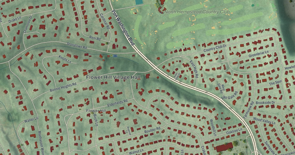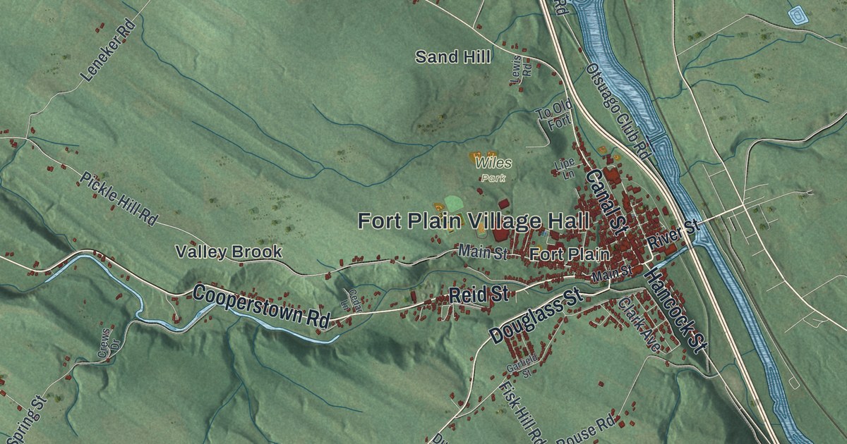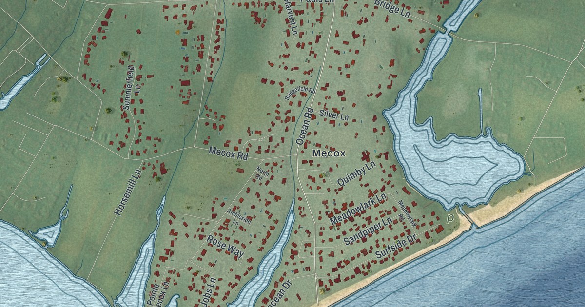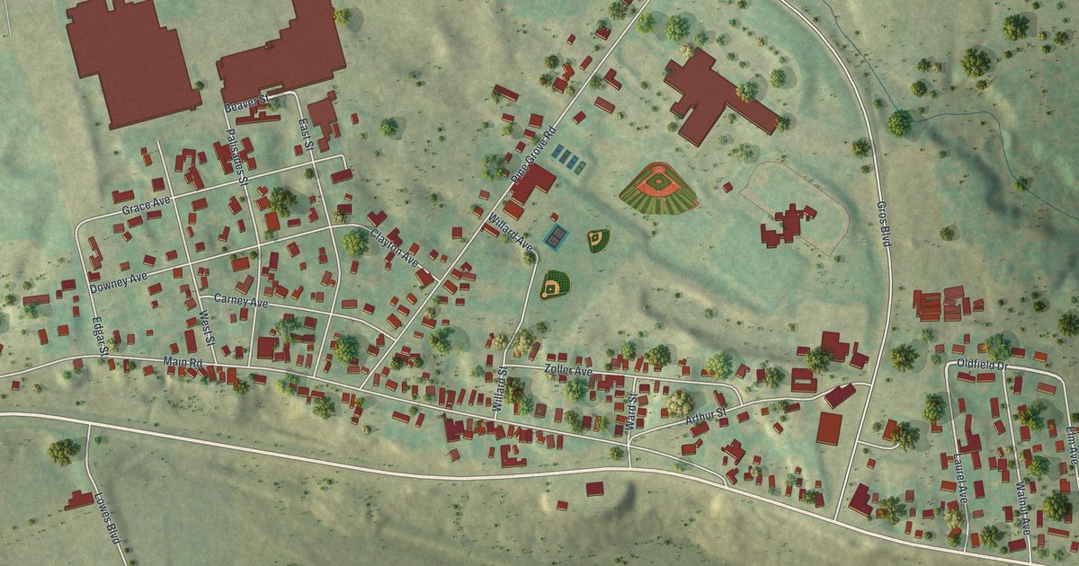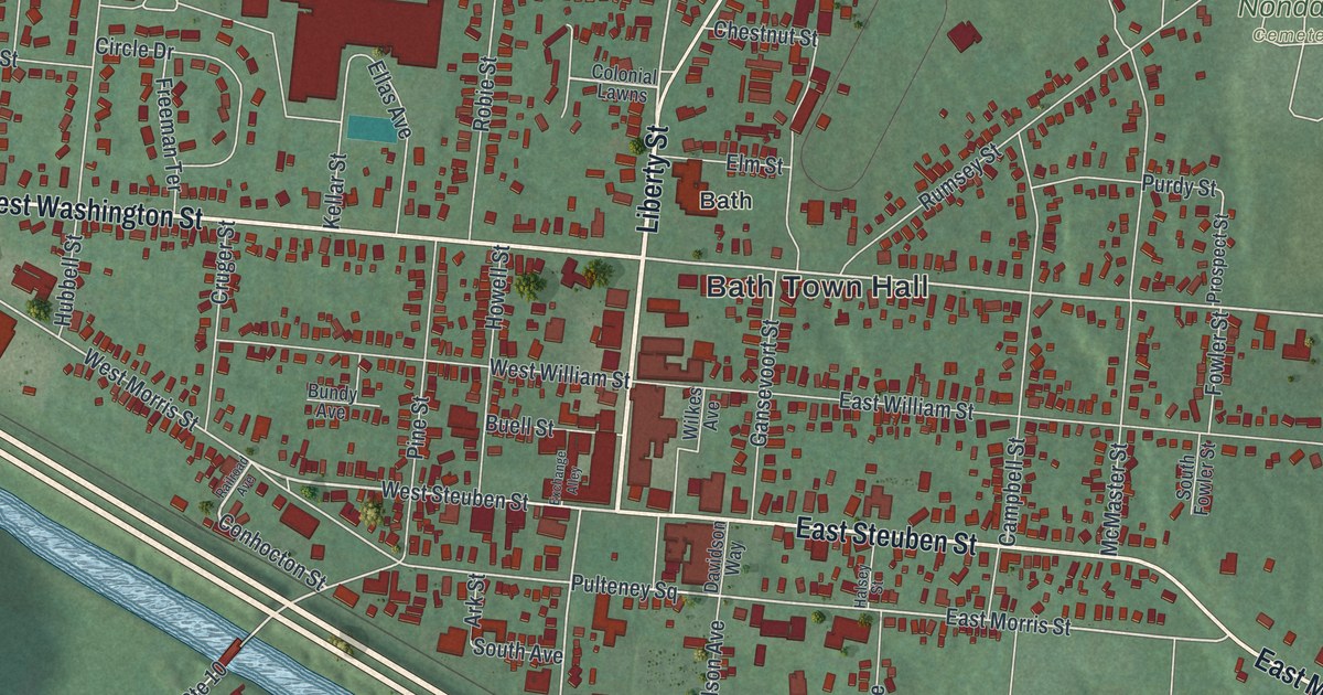
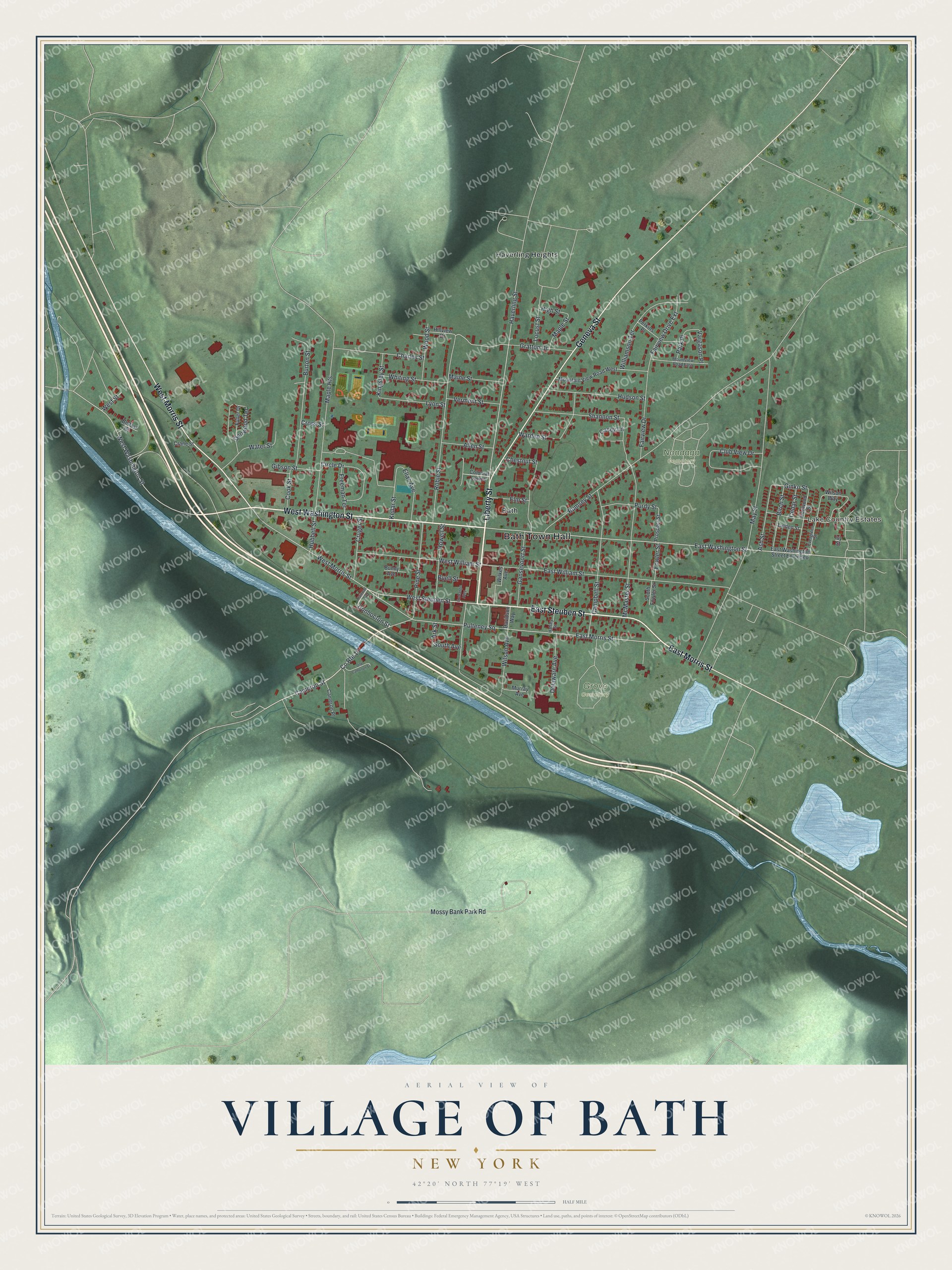
This beautifully detailed map of the Village of Bath, New York was created in 2026 using aerial imagery combined with modern topographical, census, street and landmark data. It’s a one-of-a-kind view of the Village of Bath that combines accurate data with a vintage aesthetic. The map shows every building in its true location, many of the roads carry their names, and the shaded topographic relief shows the shape of the land.
Explore an aerial view of the Village of Bath, New York
On the map you’ll find Bath Town Hall, Haverling Heights, Grove Cemetery, and Nondaga Cemetery, along with Liberty Street, Washington Street, Steuben Street, Morris Street, and more. If you look closely you can even find your house accurately drawn in its correct location. Zoom in on the preview to look for yours.
Did You Know?
Bath was founded in 1793 and became the county seat of Steuben County. The village was home to a land office that sold off 1.2 million acres. Carl Carmer later set much of his novel Genesee Fever here, a story of the first settlements in the region.
Take a closer look at the Village of Bath map
Names on this map
These names are printed on this map.
Places: Bath Town Hall, Lake Country Estates, Grove Cemetery, Nondaga Cemetery, Bath and Haverling Heights.
Streets and roads: Liberty Street, West Washington Street, East Steuben Street, East Morris Street, Geneva Street, West Morris Street, West Steuben Street, Conhocton Street, Cameron Street, East Washington Street, Haverling Street, Pulteney Square.
More street names, A to Z
Allen Street, Ark Street, Ash Street, Belfast Street, Birch Street, Buell Street, Bundy Avenue, Burton Street, Cameron Place, Campbell Street, Casey Lane, Cedar Street, Charles Street, Chestnut Street, Circle Drive, Club View Drive, Colonial Lawns, Cook Street, County Route 10, Crane Street, Cross Street, Cruger Street, Davidson Way, Delaware Avenue, Denwood Terrace, Dogwood Street, East Washington Street Extended, East William Street, Ellas Avenue, Elm Street, Evergreen Street, Exchange Alley, Fairview Drive, Fairview Drive Extension, Fowler Street, Freeman Terrace, Fuller Drive, Gansevoort Street, Gibson Street, Ginko Street, Gratton Drive, Halsey Street, High Street, Hillview Drive, Howell Street, Hubbell Street, Hudson Street, Ivy Street, Kellar Street, Kingsley Street, Linden Street, Locust Street, Lyon Street, Maine Street, Maple Heights, Maple Street, May Street, McMaster Street, Mossy Bank Park Road, Mountain View Road West, Mountview Road East, Murray Avenue, Old Cameron Street, Park Place, Perkins Place, Pine Street, Prospect Street, Purdy Street, Railroad Avenue, Robie Street, Rumsey Street, Shannon Street, South Avenue, South Fowler Street, Vargason Place, Vermont Street, Warden Street, Water Street, West Street, West William Street, Whiting Street, Wilkes Avenue, Williamson Terrace, Wilson Avenue, Wilson Way, Wood Street.
See it on a wall
The Bath map as a framed print. Swipe for more.


This beautifully detailed map of the Village of Bath makes an attractive addition to your office, library, or den, and it can even be used to teach children the geography and history of the area. It also makes a great gift for anyone who grew up in the Village of Bath or moved away. When you’re done exploring, click here to get your copy of the Village of Bath map.