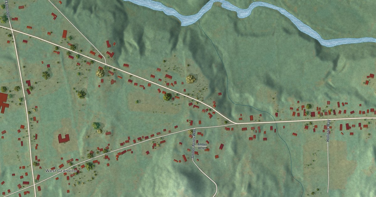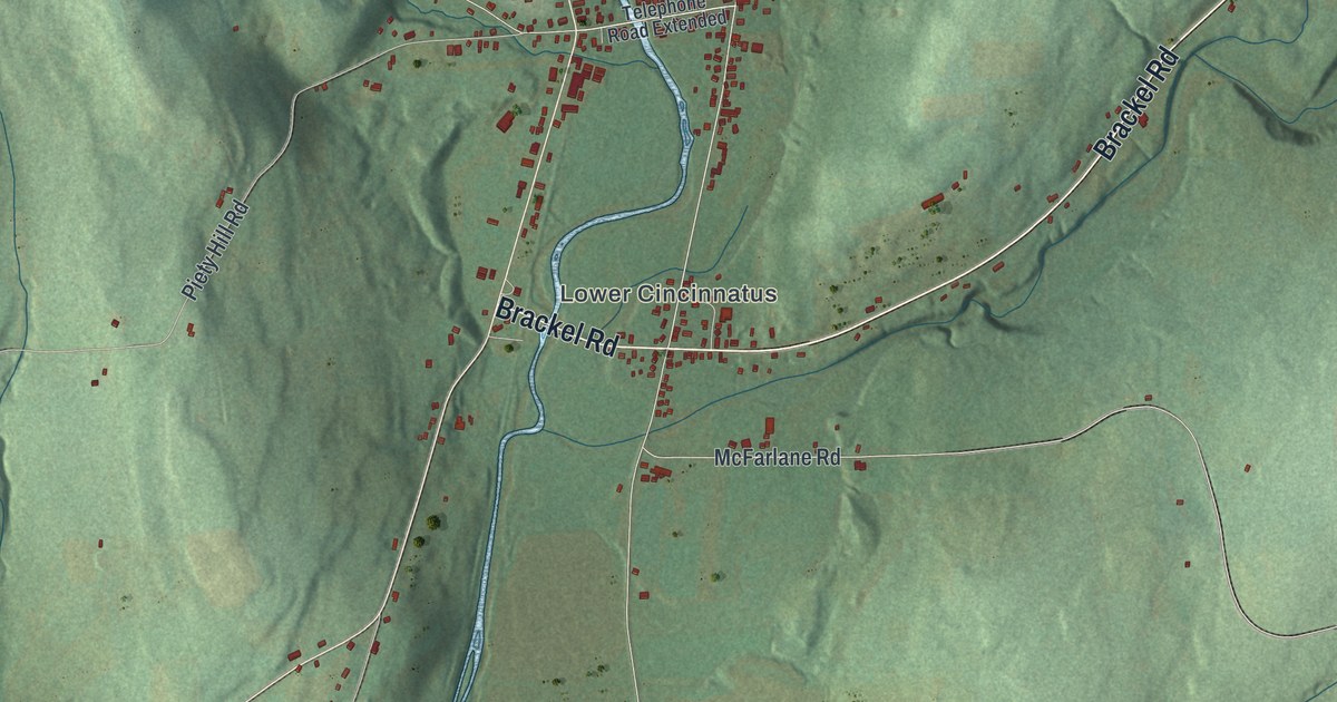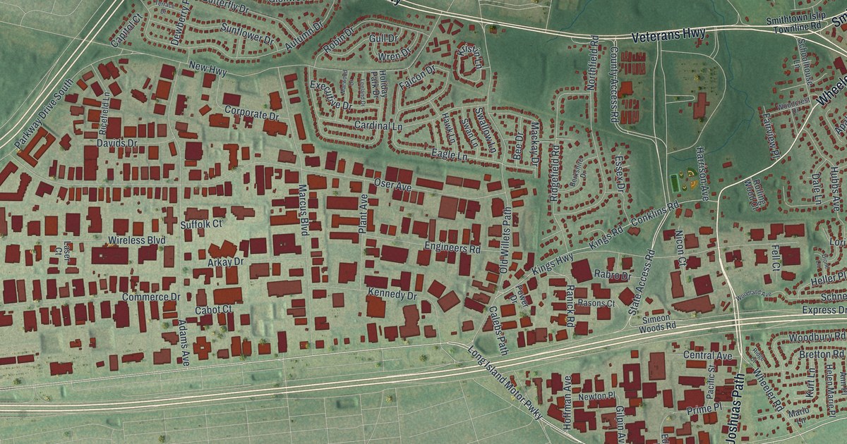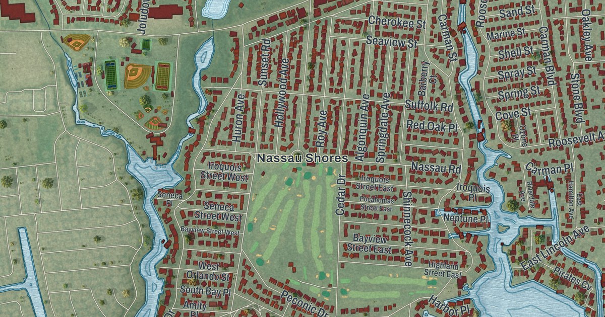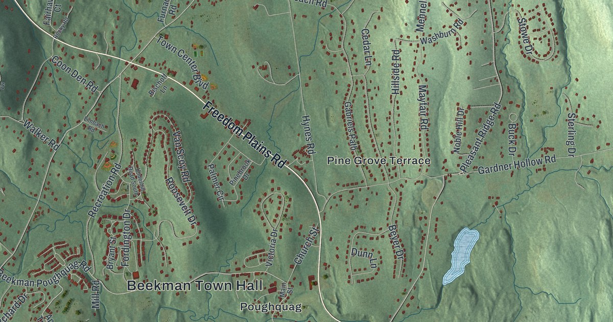
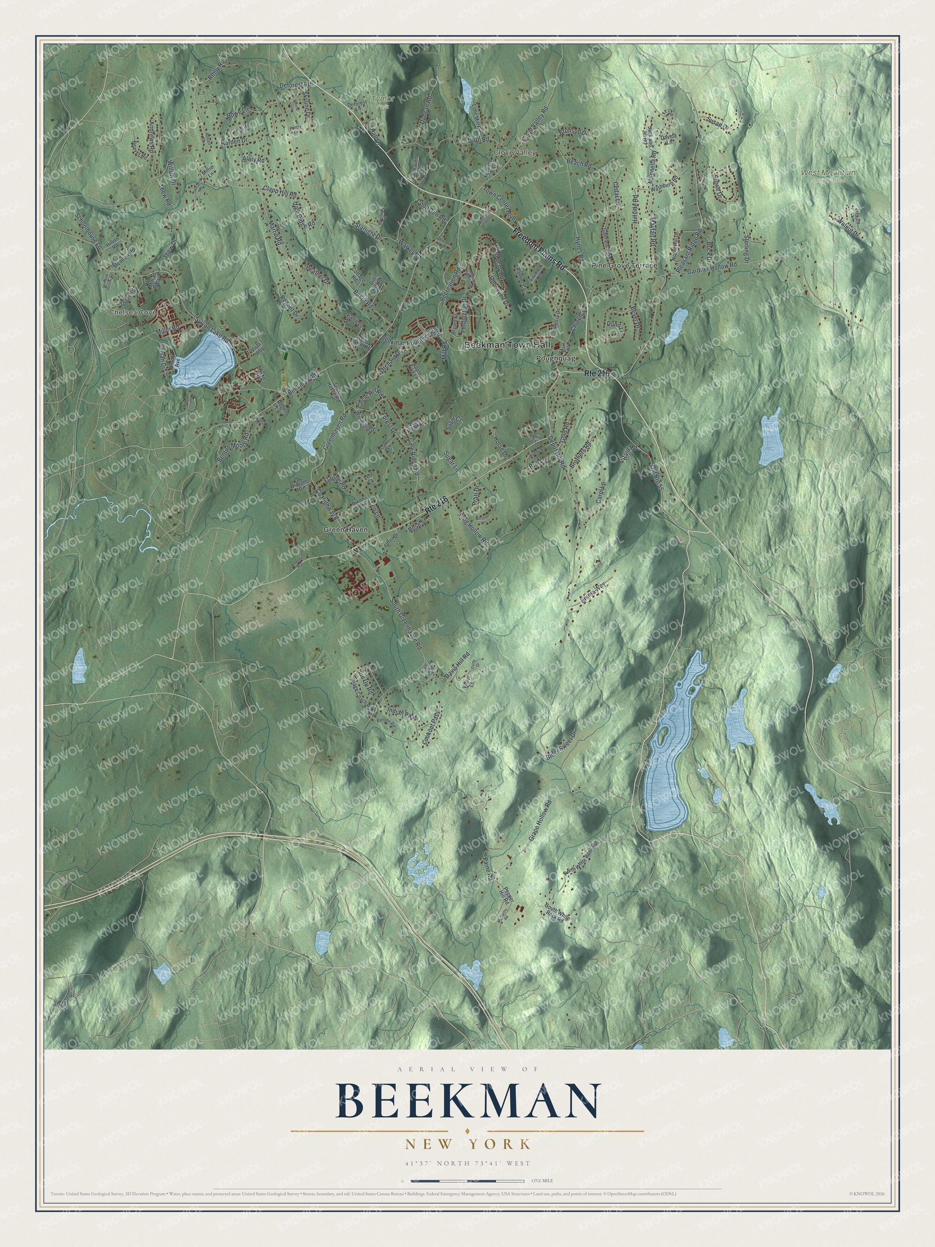
This beautifully detailed map of Beekman, New York was created in 2026 using aerial imagery combined with modern topographical, census, street and landmark data. It’s a one-of-a-kind view of Beekman that combines accurate data with a vintage aesthetic. The map shows every building in its true location, many of the roads carry their names, and the shaded topographic relief shows the shape of the land.
Explore an aerial view of Beekman, New York
On the map you’ll find Beekman Town Hall, Clove Valley, Chelsea Cove, Green Haven, Poughquag, Tymor Park, and West Mountain State Forest, along with Freedom Plains Road, Pleasant Ridge Road, Sylvan Lake Road, Clapp Hill Road, Pine Grove Terrace, and more. If you look closely you can even find your house accurately drawn in its correct location. Zoom in on the preview to look for yours.
Did You Know?
The town takes its name from Henry Beekman, a judge from Kingston. In 1697 he received a grant from the British crown called the Beekman Patent. It covered the present towns of Pawling, Dover, Union Vale, Beekman and part of LaGrange. Only one land holding in Dutchess County was bigger.
Take a closer look at the Beekman map
Names on this map
These names are printed on this map.
Places: Beekman Town Hall, Clove Valley, Chelsea Cove, Tymor Park, West Mountain State Forest, Green Haven, Pine Grove Terrace and Poughquag.
Streets and roads: Freedom Plains Road, Route 216, Pleasant Ridge Road, Sylvan Lake Road, Clapp Hill Road, Depot Hill Road, Beekman Road, Gardner Hollow Road, County Highway 8, Roosevelt Drive, South Greenhaven Road, Martin Road.
More street names, A to Z
Alary Road, Andrews Road, Apple Tree Lane, Ashby Road, Baker Road, Bard Road, Beach Road, Beaver Road, Beekman Poughquag Road, Benson Road, Benton Moore Road, Beyer Drive, Bischoff Lane, Bitter Sweet Drive, Bowe Lane, Brill Lane, Bronson Drive, Brook Avenue, Brothers Road, Bryant Street, Buck Drive, Carol Lane, Cedar Lane, Church Street, Circle Hill Road, Clove Valley Road, Coombe Way, Coon Den Road, Cottage Road, Cypher Lane, Daisy Drive, Davida Lane, Davis Hill Road, Deana Loop, Deer View Lane, Deforest Lane, Deforest Road, Dill Hill Road, Dixon Court, Dorn Road, Duncan Road, Dunn Lane, Emma Way, Fairhaven Court, Flagler Road, Fordington Drive, Forest Drive, Frog Hollow Road, Furnace Road, Gabriels Path, Gail Lane, Gold Road, Grape Hollow Road, Greenhaven Road, Green Haven Road, Hall Drive, Harden Drive, Heather Drive, Hemlock Hollow Road, Hickory Lane, High Ridge Road, Hillside Road, Hilton Road, Horse Drive, Hynes Road, Indian Pass, Jack and Jill Road, Lake Road, Lee Lane, Leo Court, Leo Lane, Limbach Road, Lime Mill Road, Lime Ridge Road, Lookout Pass, Main Street, Mayfair Road, McCarthy Road, Mc Donnells Lane, Meadow Road, Melanie Lane, Mennella Road, Miller Road, Millie Lane, Mill Road, Moran Way, Morgan Lane, Mountain Vw, Noble Hill Drive, North White Rock Road, Old Davis Hill Road, Old Martin Road, Old Route 55, Orchard Drive, Paine Road, Palmer Circle, Pepper Hill Road, Pinebrook Drive, Potter Lane, Pratt Drive, Recreation Road, Regent Drive, Reilly Road, Robin Court, Rocky Road, Roger Lane, Rosell Court, Rose Street, Schoolhouse Lane, Skyline Drive, South White Rock Road, Stage Coach Pass, Starlight Drive, Sterling Drive, Stowe Drive, Sugar Court, Sugar Lane, Sun Up Road, Susan Drive, Sylvan Drive, Thew Drive, Thew Road, Tower Road, Town Center Boulevard, Townsend Road, Underhill Road South, Utter Drive, Van Scoy Road, Victoria Drive, Violet Lane, Vista Way, Walker Road, Walnut Drive, Washburn Road, Whalen Drive, Williams Drive, Willow Drive, Woodland Drive.
See it on a wall
The Beekman map as a framed print. Swipe for more.


This beautifully detailed map of Beekman makes an attractive addition to your office, library, or den, and it can even be used to teach children the geography and history of the area. It also makes a great gift for anyone who grew up in Beekman or moved away. When you’re done exploring, click here to get your copy of the Beekman map.