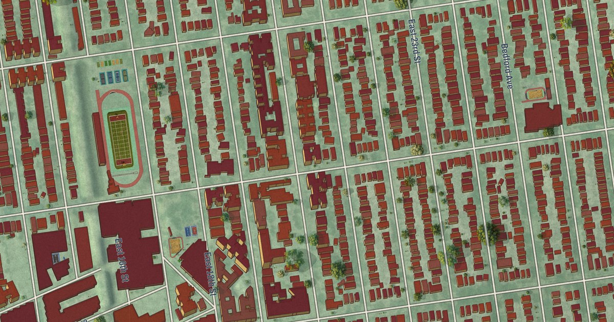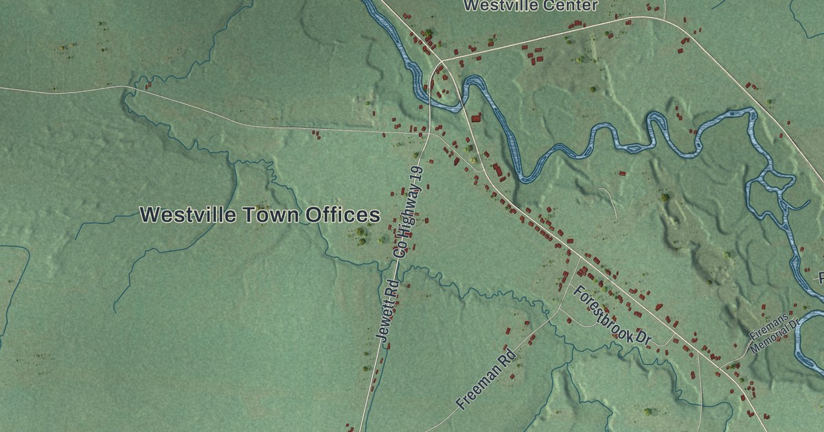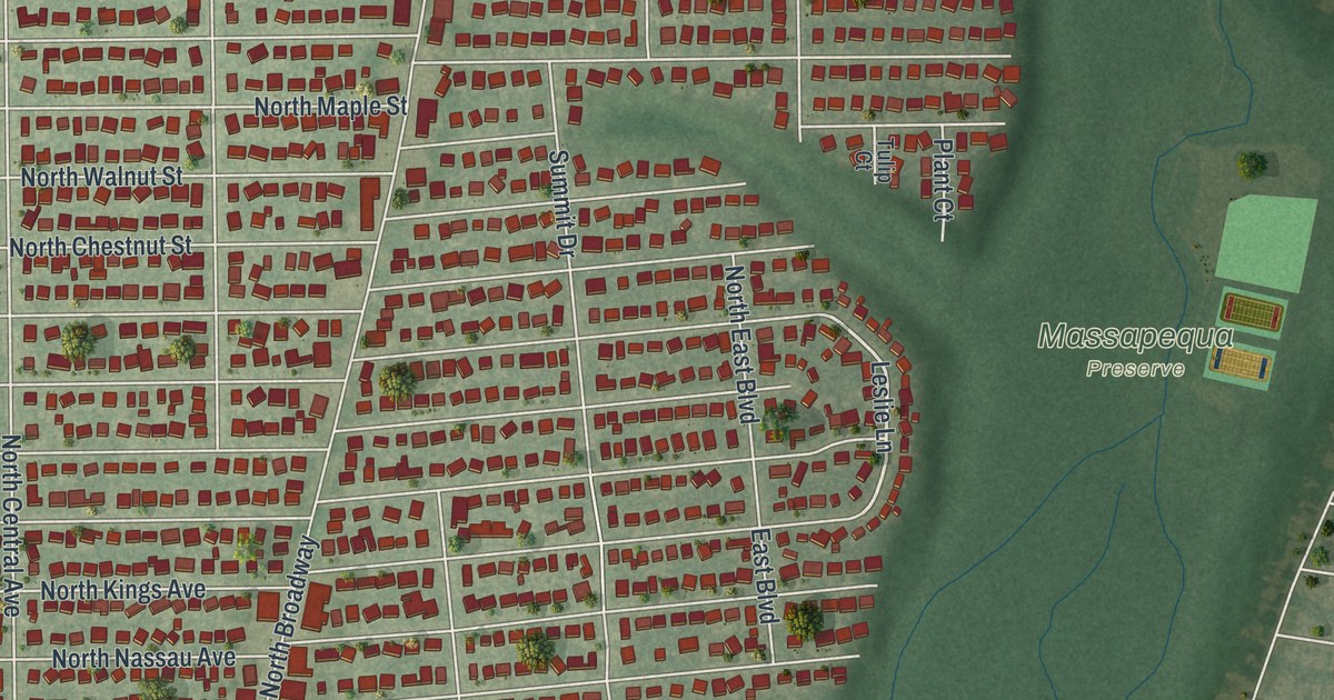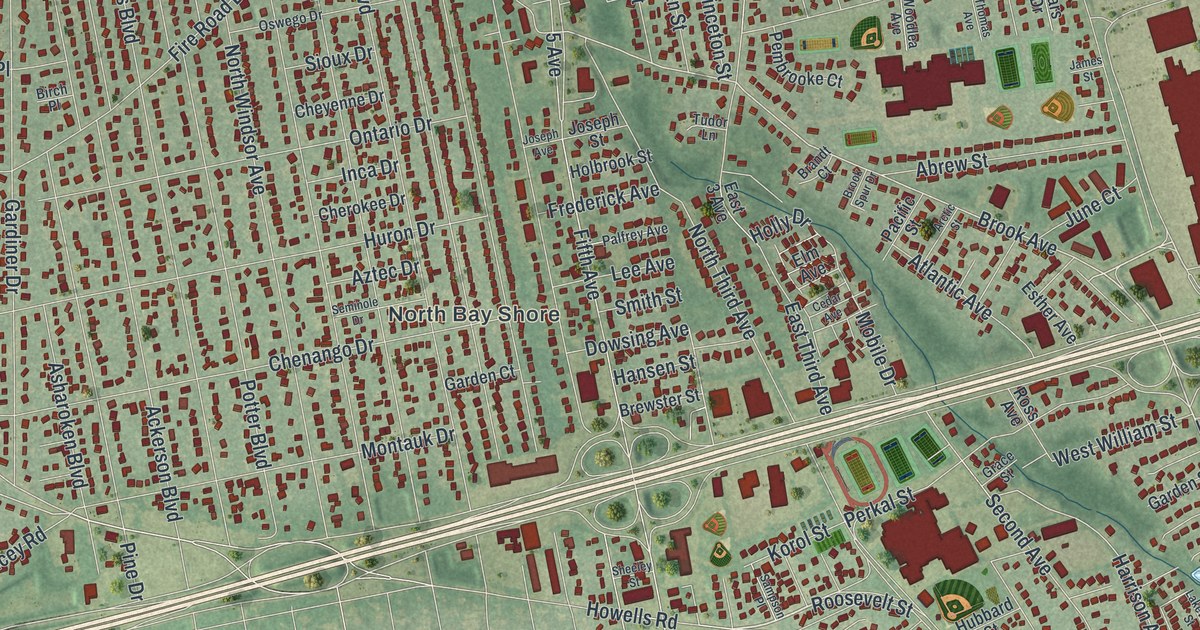
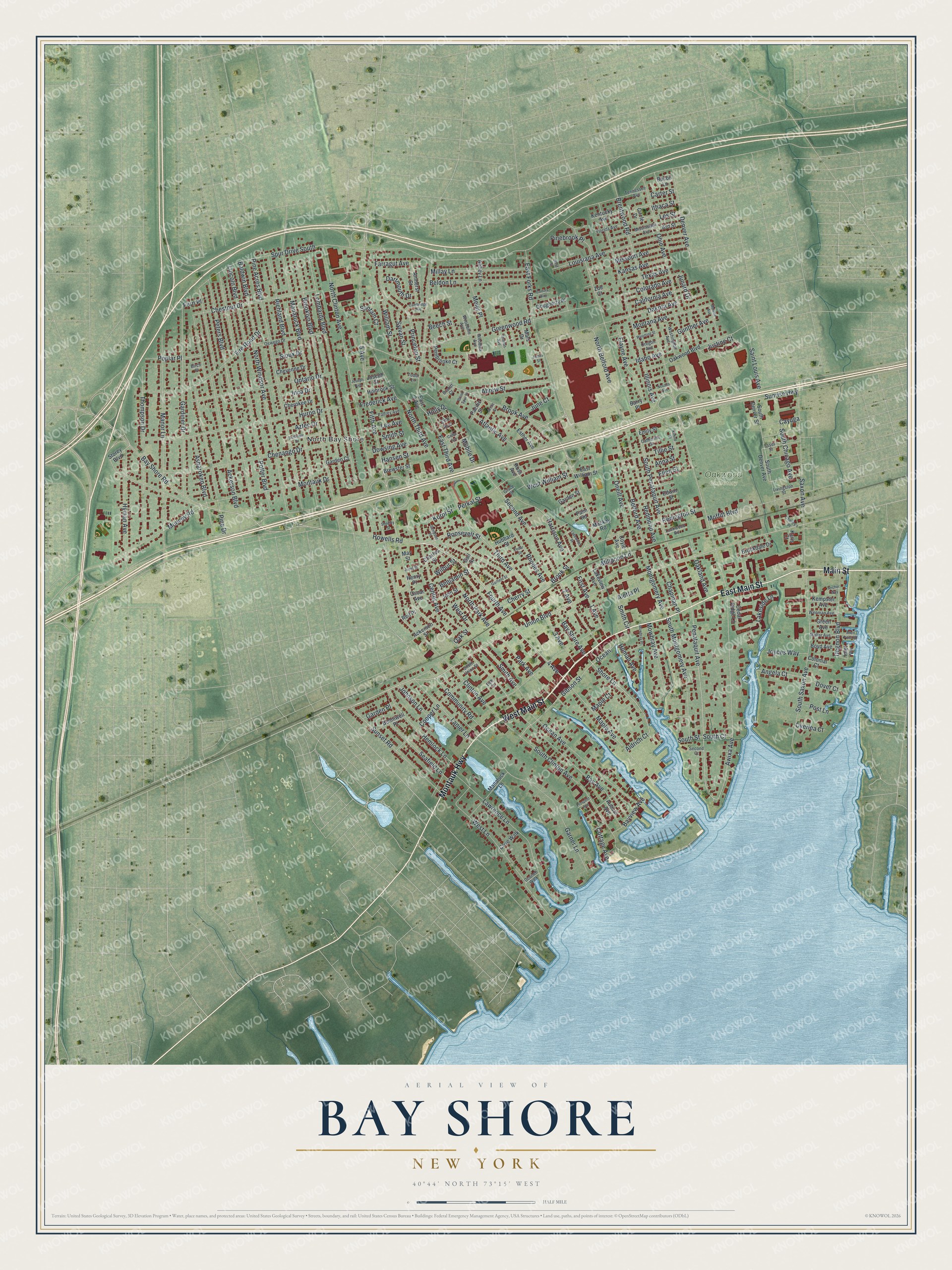
This beautifully detailed map of Bay Shore, New York was created in 2026 using aerial imagery combined with modern topographical, census, street and landmark data. It’s a one-of-a-kind view of Bay Shore that combines accurate data with a vintage aesthetic. The map shows every building in its true location, many of the roads carry their names, and the shaded topographic relief shows the shape of the land.
Explore an aerial view of Bay Shore, New York
On the map you’ll find North Bay Shore and Oakwood Cemetery, along with Main Street, Montauk Highway, Union Boulevard, Fourth Avenue, Roosevelt Street, and more. If you look closely you can even find your house accurately drawn in its correct location. Zoom in on the preview to look for yours.
Did You Know?
Early settlers called this place Penataquit, then Awixa, both names used by the Secatogue people. In the early 1800s it became Sodom, for reasons no one recorded. It was Mechanicsville in 1842 and Penataquit again in 1849. That name was hard to spell, so in 1868 it became Bay Shore.
Take a closer look at the Bay Shore map
Names on this map
These names are printed on this map.
Places: North Bay Shore and Oakwood Cemetery.
Streets and roads: East Main Street, Montauk Highway, Main Street, West Main Street, Union Boulevard, Fourth Avenue, Roosevelt Street, Bay Shore Avenue, Shore Lane, Brook Avenue, East Forks Road, Maple Avenue.
More street names, A to Z
1 Avenue, 2 Avenue, 3 Avenue, 4 Avenue, 5 Avenue, Abbey Lane, Abrew Street, Ackerson Boulevard, Ackerson Street, Aldrich Court, Aletta Place, Allen Point Road, Amherst Street, Anchor Way, Angela Court, Anna Street, Arctic Street, Ard Street, Asharoken Boulevard, Atlantic Avenue, Auburn Avenue, Awixa Avenue, Aztec Drive, Bacon Lane, Baldwin Boulevard, Barry Place, Bay Avenue, Bay Shore Road, Bayview Avenue, Beech Street, Beldon Lane, Belford Avenue, Benjamin Street, Birch Place, Bonniwell Place, Boyd Avenue, Brandt Court, Brentwood Road, Brewster Street, Brookdale Drive, Brooklyn Boulevard, Brook Spur Drive, Brook Street, California Avenue, Cambridge Avenue, Carter Street, Catherine Street, Cayuga, Cedar Avenue, Cedar Ridge Lane, Cedar Street, Center Avenue, Chapman Place, Charles Street, Charley's Place, Chenango Drive, Cherokee Drive, Cherry Street, Chestnut Drive, Cheyenne Drive, Circle Drive, Clinton Avenue, Colonial Court, Colorado Avenue, Community Road, Cooper Lane, Cortina Way, Cottage Avenue, Cove Walk, Coyle Avenue, Dakota Avenue, Dartmouth Drive, Deb Court, Degnon Boulevard, Denver Avenue, Dougherty Place, Dover Court, Dowsing Avenue, East 3 Avenue, East Third Avenue, East William Street, Edwin Street, Elayne Avenue, Ellen Street, Elm Avenue, Emily Street, Essex Street, Esther Avenue, Farragut Avenue, Fern Place, Fifth Avenue, Fire Road Drive, First Avenue, Florida Avenue, Frederick Avenue, Gail Street, Garden Court, Garden Place, Garden Street, Gardiner Drive, Garfield Street, Garner Lane, Gibson Street, Grace Street, Green Avenue, Greenwood Road, Gunther Avenue, Hansen Street, Harrison Avenue, Hemlock Lane, Henry Place, Holbrook Street, Holly Drive, Homan Avenue, Howells Road, Hubbard Street, Huron Drive, Hyman Avenue, Idaho Avenue, Illinois Avenue, Inca Drive, Inlet Vw, Ithaca Street, James Street, Johnson Lane, John Street, Joseph Avenue, Joseph Street, Joyces Way, Juliet Street, Junard Drive, June Court, Justine Court, Kansas Avenue, Karis Court, Kempster Avenue, Kentucky Avenue, Kirkup Street, Korol Street, Lakeside Lane, Lakeview Avenue, Lakewood Street, Lanier Lane, Lawrence Lane, Lee Avenue, Les Street, Lincoln Boulevard, Livingston Street, Lockwood Road, Lombardy Boulevard, Louisiana Avenue, Mackay Road, Mallar Avenue, Manatuck Boulevard, Manatuck Lane, Manor Lane, Maple Court, Mars Drive, May Street, Meier Place, Millay Lane, Millpond Lane, Mississippi Avenue, Missouri Avenue, Mobile Drive, Moffitt Boulevard, Monroe Avenue, Montana Avenue, Montauk Drive, Montgomery Avenue, Mowbray Avenue, Mowbray Place, Muncey Road, Nevada Avenue, North Belford Avenue, North Clinton Avenue, North Park Avenue, North Third Avenue, North Windsor Avenue, Oakland Avenue, Oak Street, Oakwood Boulevard, Ocean, Ocean Avenue, Oconee Walk, Ohio Avenue, Oneill Avenue, Ontario Drive, Oregon Avenue, Oscar Avenue, Oswego Drive, Overlea Court, Pacific Street, Palfrey Avenue, Palm Road, Park Avenue, Pembrooke Court, Penataquit Avenue, Perkal Street, Peters Boulevard, Pine Acres Boulevard, Pinebrook Place, Pine Drive, Poplar Place, Post Lane, Potter Boulevard, Princeton Street, Prospect Avenue, Redington Street, Redmond Avenue, Reil Place, Rhodes Avenue, Richland Boulevard, Ross Avenue, Saint Louis Avenue, Sampson Place, Santam Court, Saxon Avenue, Seafield Lane, Second Avenue, Second Court, Seminole Drive, Sheeley Street, Sioux Drive, Smith Avenue, Smith Circle, Smith Street, South Chicago Avenue, South Clinton Avenue, South Court, South Denver Avenue, South Denver Street, South Montgomery Avenue, South Penataquit Avenue, South Saxon Avenue, South Street, South Union Street, Spur Drive South, Storey Boulevard, Sunrise Highway, Sunset Road, Sylvan Street, Tennessee Avenue, Texas Avenue, Third Avenue, Thomas Avenue, Thompson Drive, Tillie Street, Tudor Lane, Washington Avenue, Wenman Avenue, West Drive, West Lane, West Street, West William Street, Wilbur Street, William Street, Woodbine Avenue, Woodlea Avenue, Wyoming Street, Zoe Court.
See it on a wall
The Bay Shore map as a framed print. Swipe for more.


This beautifully detailed map of Bay Shore makes an attractive addition to your office, library, or den, and it can even be used to teach children the geography and history of the area. It also makes a great gift for anyone with Bay Shore roots. When you’re done exploring, click here to get your copy of the Bay Shore map.