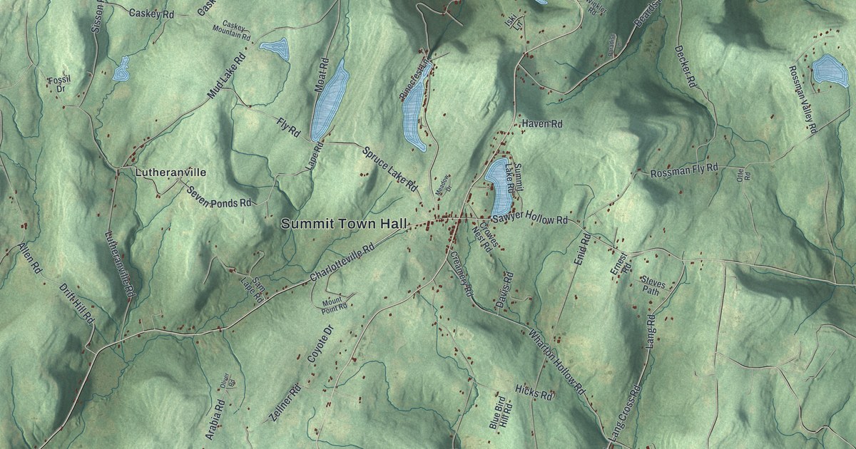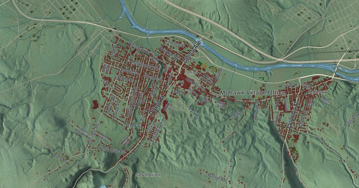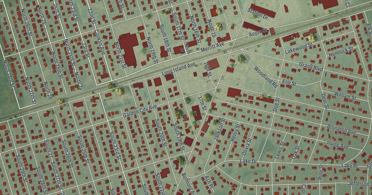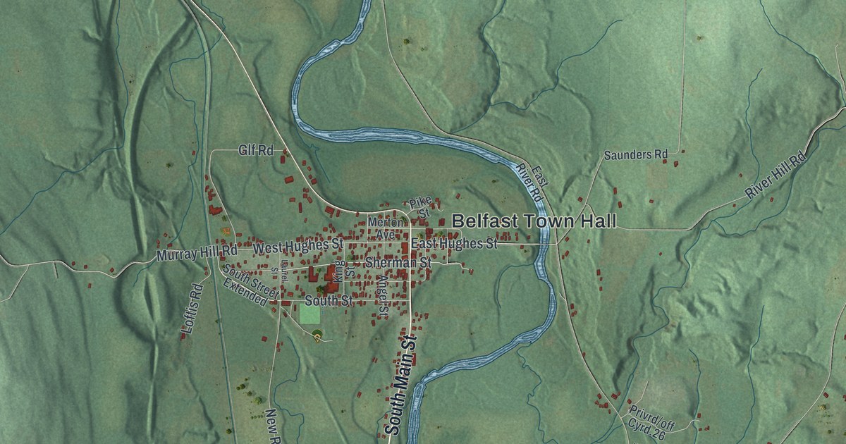
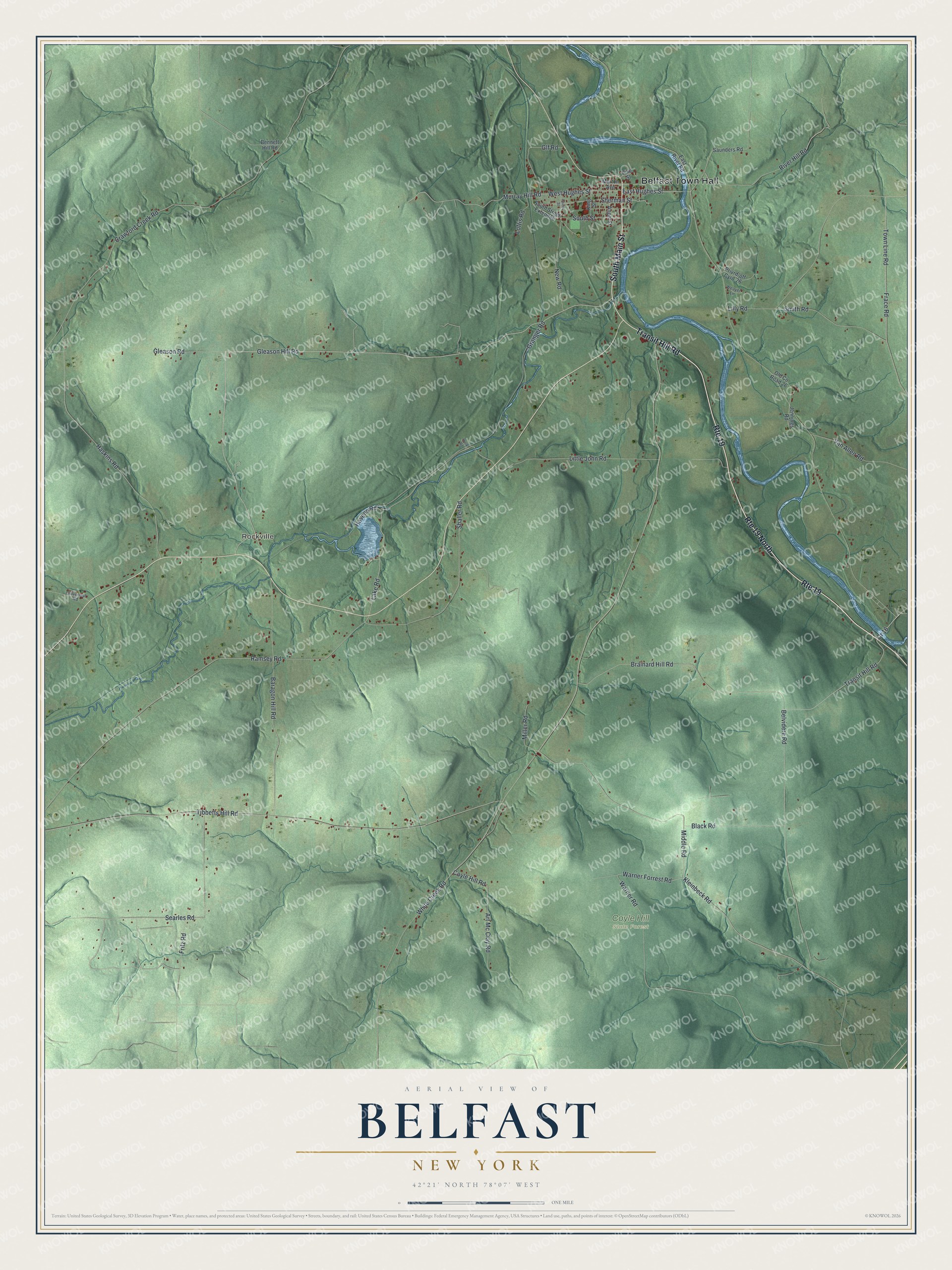
This beautifully detailed map of Belfast, New York was created in 2026 using aerial imagery combined with modern topographical, census, street and landmark data. It’s a one-of-a-kind view of Belfast that combines accurate data with a vintage aesthetic. The map shows every building in its true location, many of the roads carry their names, and the shaded topographic relief shows the shape of the land.
Explore an aerial view of Belfast, New York
On the map you’ll find Belfast Town Hall, Rockville, and Coyle Hill State Forest, along with Main Street, Transit Hill Road, Gleason Hill Road, Sherman Street, and more. If you look closely you can even find your house accurately drawn in its correct location. Zoom in on the preview to look for yours.
Did You Know?
The town started out in 1824 as Orrinsburgh, carved from part of Caneadea. Many of its new settlers came from northern Ireland, home of the port city of Belfast. So in 1825 the residents renamed their town Belfast.
Take a closer look at the Belfast map
Names on this map
These names are printed on this map.
Places: Belfast Town Hall, Rockville and Coyle Hill State Forest.
Streets and roads: South Main Street, Route 19, Route 19 North, Transit Hill Road, Gleason Hill Road, Sherman Street, Searles Road, West Hughes Street, Cr 16, East Hughes Street, Warner Forrest Road, Middle Road.
More street names, A to Z
Angel Street, Art Mc Clay Road, Baragon Hill Road, Belvidere Road, Bennett Hill Road, Black Road, Brainard Hill Road, Cloverleaf Road, Coyle Hill Road, Crawford Creek Road, East River Road, Frace Road, Fritz Road, Gleason Road, Glf Road, Granger Road, Haskins Road, Havens Road, Huck Road, Jennings Road, King Street, Kleinbeck Road, Lake Road, Laurel Street, Lilly Road, Little John Road, Loftis Road, Merton Avenue, Miller Road, Murray Hill Road, New Road, Old County Road 26, Pike Street, Ramsey Road, River Hill Road, Saunders Road, Shaller Road, Smith Road, South Street, South Street Extended, Tibbetts Hill Road, Town Line Road, Van Allen Road, Warner Road, Weaver Lane, White Creek Road.
See it on a wall
The Belfast map as a framed print. Swipe for more.


This beautifully detailed map of Belfast makes an attractive addition to your office, library, or den, and it can even be used to teach children the geography and history of the area. It also makes a great gift for anyone who grew up in Belfast or moved away. When you’re done exploring, click here to get your copy of the Belfast map.