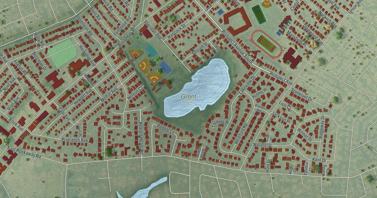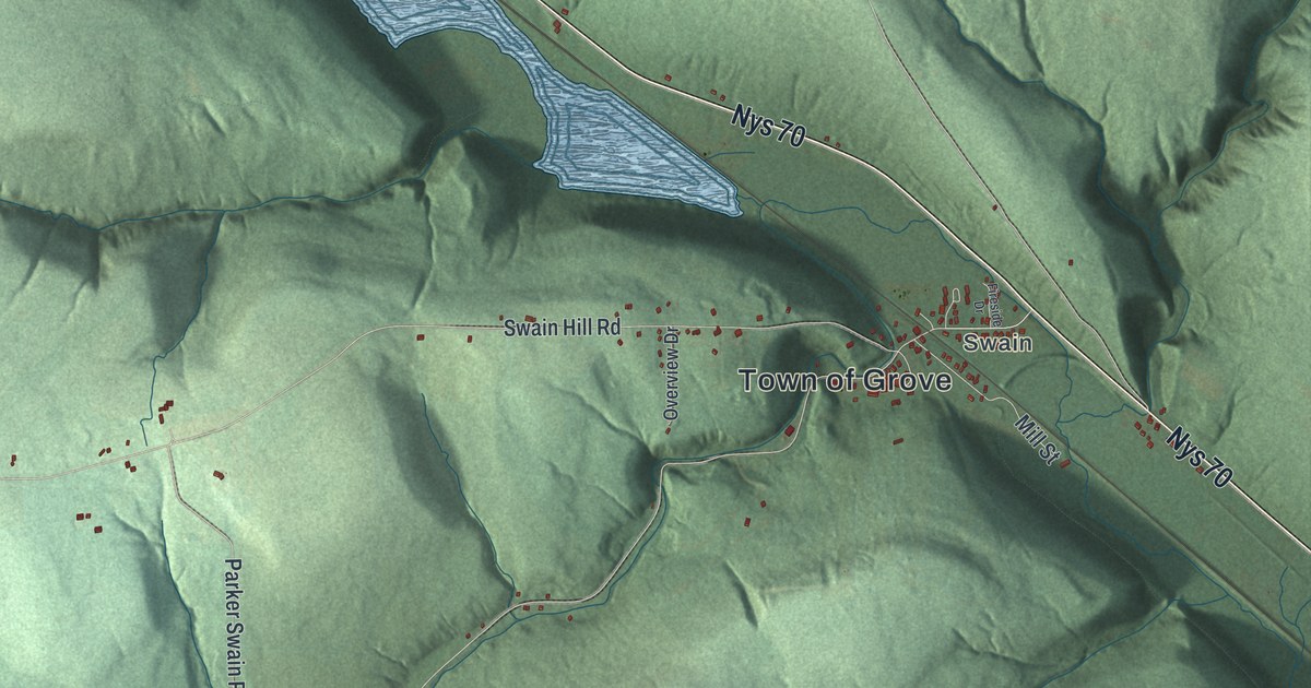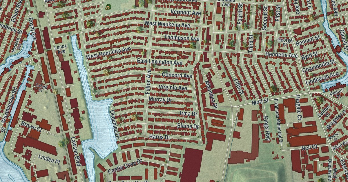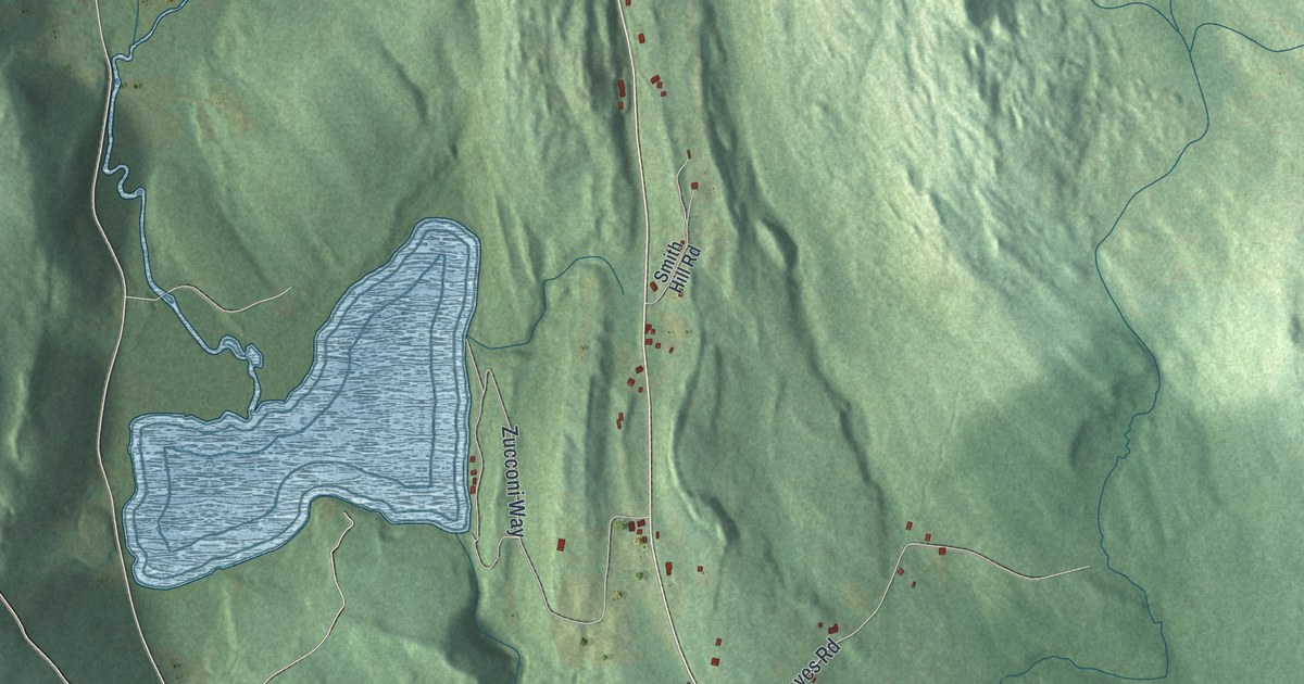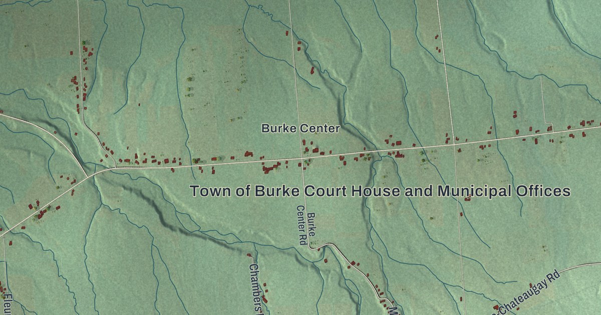
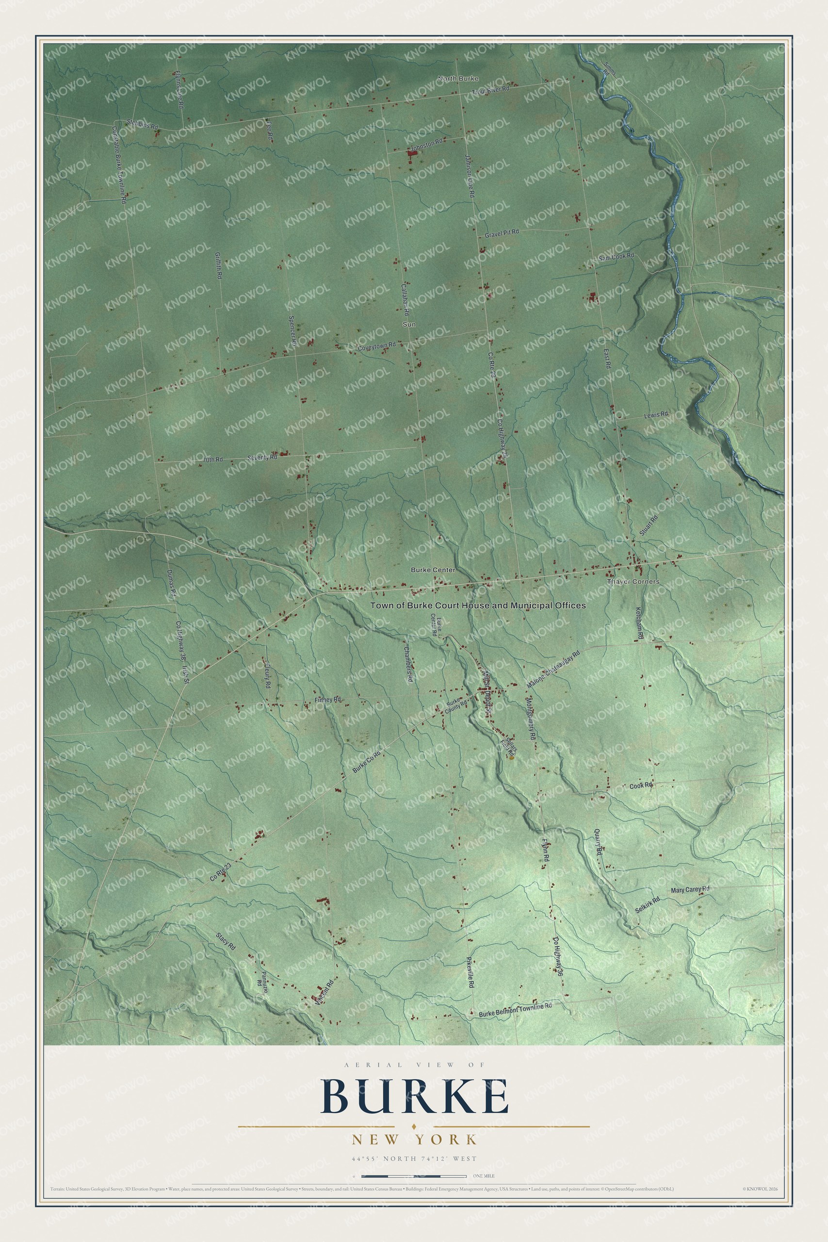
This beautifully detailed map of Burke, New York was created in 2026 using aerial imagery combined with modern topographical, census, street and landmark data. It’s a one-of-a-kind view of Burke that combines accurate data with a vintage aesthetic. The map shows every building in its true location, many of the roads carry their names, and the shaded topographic relief shows the shape of the land.
Explore an aerial view of Burke, New York
On the map you’ll find North Burke, Thayer Corners, Sun, and Burke Center, along with Burke Co Road, Depot Street, Mill Street, Flynn Road, Trout River Road, and more. If you look closely you can even find your house accurately drawn in its correct location. Zoom in on the preview to look for yours.
Did You Know?
Almanzo Wilder spent his boyhood on a Burke farm, where he was born on February 13, 1857. His family moved west to Minnesota in 1875. Years later his wife, Laura Ingalls Wilder, wrote about his childhood here in her book Farmer Boy.
Take a closer look at the Burke map
Names on this map
These names are printed on this map.
Places: Town of Burke Court House and Municipal Offices, North Burke, Thayer Corners, Sun and Burke Center.
Streets and roads: County Route 23, Burke County Road, Depot Street, Mill Street, County Highway 36, Flynn Road, Trout River Road, County Highway 29, East Road, County Route 29, Ketcham Road, Jamison Line Road.
More street names, A to Z
70th Road, Burke Belmont Townline Road, Burke Center Road, Callahan Road, Chambers Road, Constable Burke Townline Road, Cook Road, County Highway 38, Coveytown Road, Dumas Road, Fee Road, Finney Road, Fleury Road, Flynns Line Road, Gravel Pit Road, Griffith Road, Irish Street, Johnston Road, Lewis Road, Malone-Chateaugay Road, Mary Carey Road, Montgomery Road, Pannuzio Road, Pikeville Road, Quarry Road, Sam Cook Road, Selkirk Road, Sellars Field Road, Seventy Road, Simms Road, Spencer Road, Stacy Road, Stebbins Road, Stuart Road, Vincent Road.
See it on a wall
The Burke map as a framed print. Swipe for more.


This beautifully detailed map of Burke makes an attractive addition to your office, library, or den, and it can even be used to teach children the geography and history of the area. It also makes a great gift for someone who left Burke and still calls it home. When you’re done exploring, click here to get your copy of the Burke map.