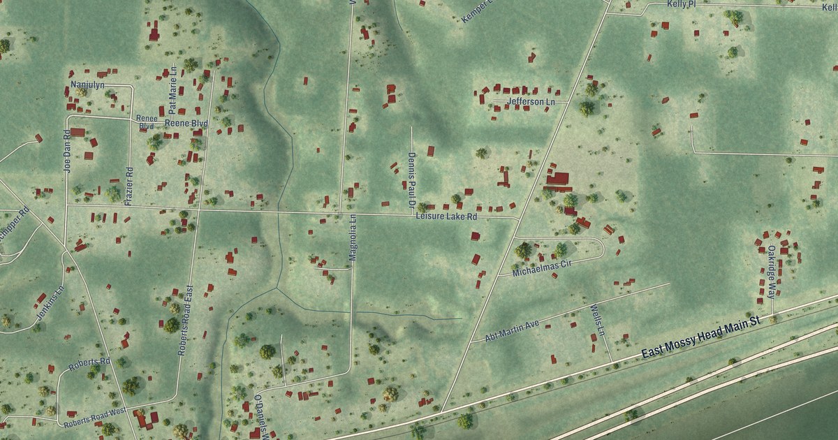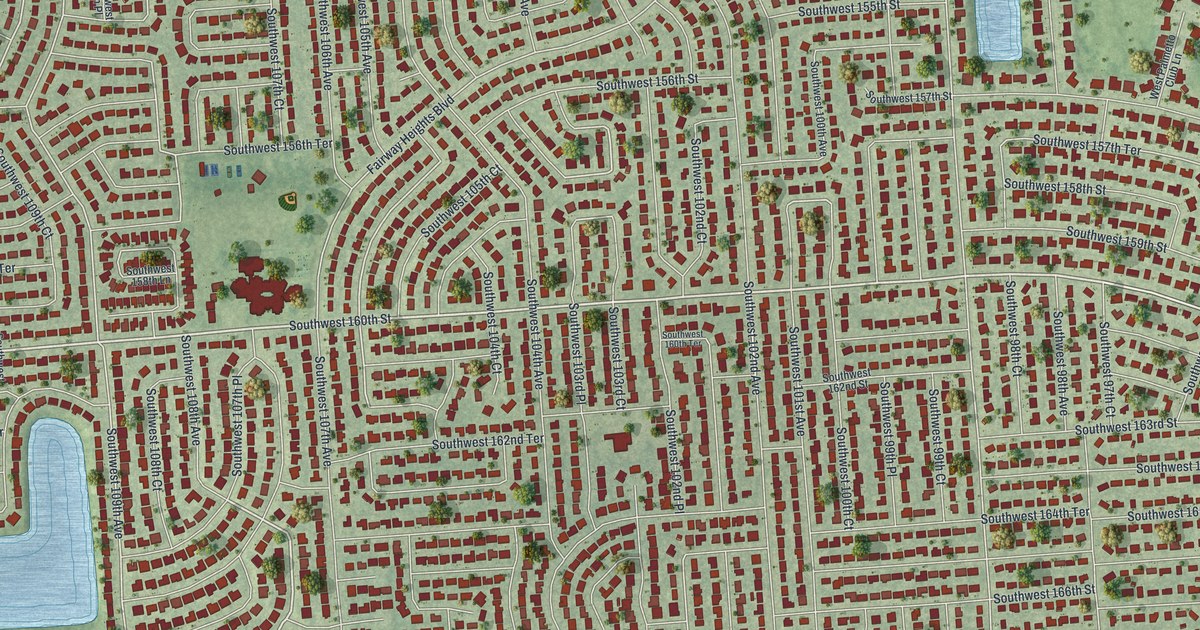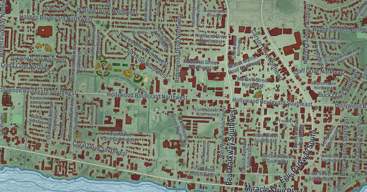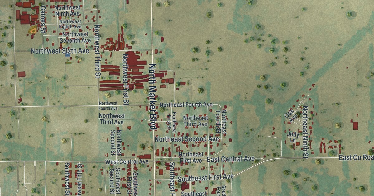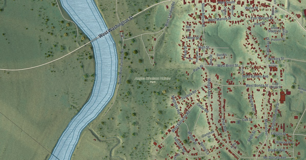
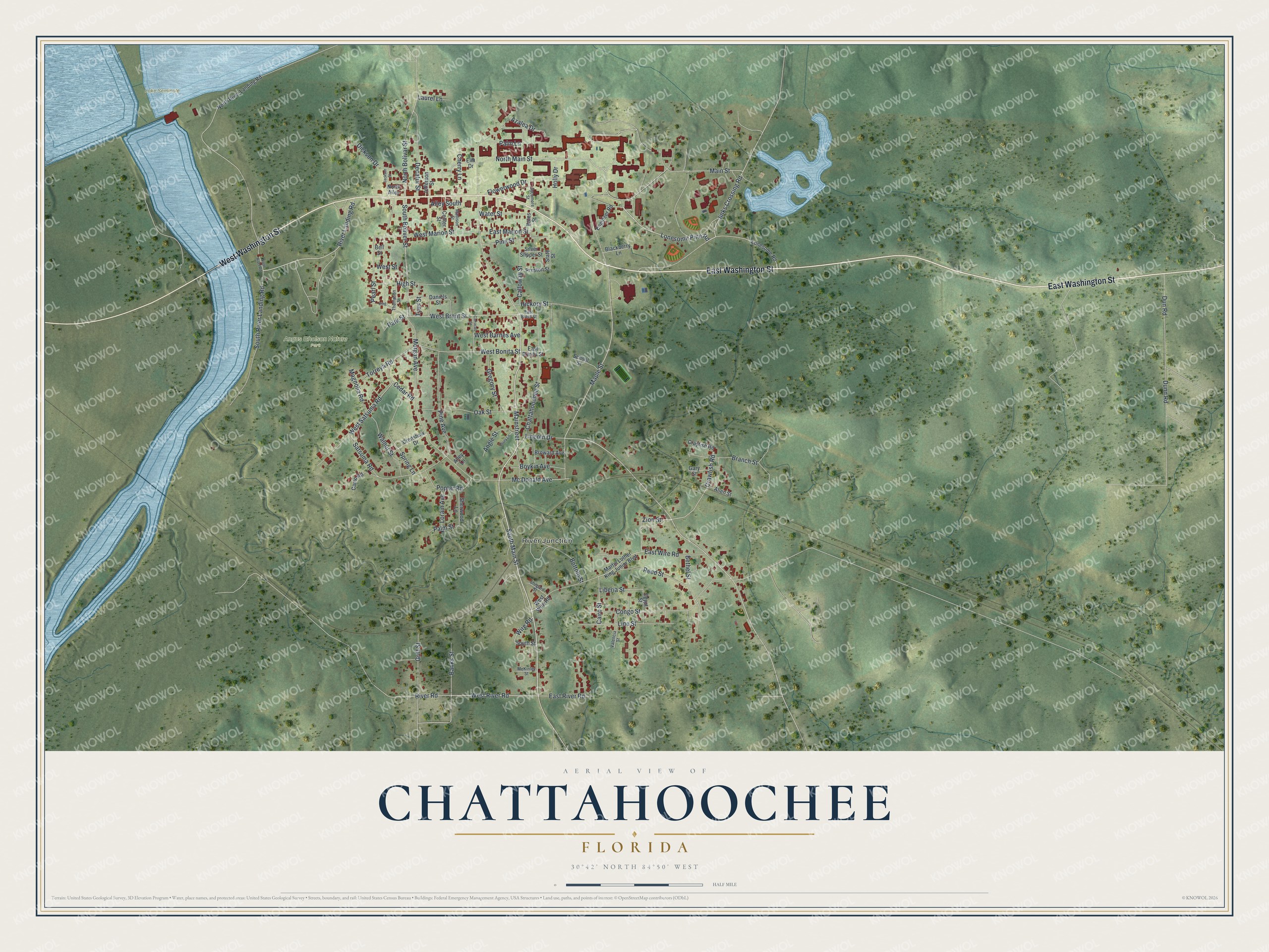
This beautifully detailed map of Chattahoochee, Florida was created in 2026 using aerial imagery combined with modern topographical, census, street and landmark data. It’s a one-of-a-kind view of Chattahoochee that combines accurate data with a vintage aesthetic. The map shows every building in its true location, many of the roads carry their names, and the shaded topographic relief shows the shape of the land.
Explore an aerial view of Chattahoochee, Florida
On the map you’ll find River Junction, Angus Gholson Nature Park, Lake Seminole, and Mainstreet, along with East Washington Street, West Washington Street, South Main Street, West Brent Street, South Boliver Street, Lonesome Pine Road, West River Road, and more. If you look closely you can even find your house accurately drawn in its correct location. Zoom in on the preview to look for yours.
Did You Know?
Settlers named the community Mount Vernon in the 1820s, after George Washington’s Virginia plantation. Mail kept getting mixed up with Mount Vernon, Alabama, so the town took a new name. Chattahoochee comes from Creek words meaning marked rocks, for stones along the river.
Take a closer look at the Chattahoochee map
Names on this map
These names are printed on this map.
Places: River Junction, Angus Gholson Nature Park and Lake Seminole.
Streets and roads: East Washington Street, West Washington Street, Mainstreet, South Main Street, Main Street, West Brent Street, South Boliver Street, Lonesome Pine Road, West River Road, North Bolivar Street, Jinks Crossing Road, Wire Road.
More street names, A to Z
Allen Street, Alley Lane, Alley South, Angle Street, Azalea Drive, Banks Street, Bates Street, Bell Street, Bethel Street, Blackberry Lane, Bottom Street, Boykin Avenue, Branch Street, Broward Avenue, Cairo Street, Calloway Street, Camp Road, Carracas Street, Cedar Road, Center Street, Chattahoochee Street, Cherry Lane, Congo Street, Crawfish Road, Crayfish Road, Crenshaw Drive, Daniels Street, Decatur Street, Dickson Drive, Drury Lane, Dunn Road, Dun Road, East Bonita Street, East Brent Street, East Marion Street, East River Road, East Wire Road, Egypt Street, Elm Drive, Engineer Road, Flowerwood Drive, Gary Street, Gregory Street, Griff Street, Hickory Street, High Street, Holly Drive, Jackson Street, Jefferson Street, King, Laurel Lane, Liberia Street, Lincoln Drive, Line Street, Lonesome Road, Lorain Avenue, Madison Street, Magnolia Road, Maple Street, Martin Luther King Junior Boulevard, Mc Donald Avenue, McKinley Street, Morgan Avenue, North Alley, North Main Street, North River Landing Road, North River Road, Oak Street, Palm Lane, Palm Street, Park Street, Pearl Street, Pine Avenue, Pine Street, Poplar Road, Preston Street, Reed Street, River Landing Road, River Road, Satsuma Road, School Street, Shepard Street, Sherwood Lane, Silver Slipper Street, South River Landing Road, South Street, Spring Lane, State Street, Sycamore Street, Thompson Street, Torreya Road, Tyus Street, Valencia Street, Walnut Street, Water Street, West Barnes Avenue, West Bonita Street, West Marion Street, West Satsuma Road, West Street, West Wire Road, Zion Street.
See it on a wall
The Chattahoochee map as a framed print. Swipe for more.


This beautifully detailed map of Chattahoochee makes an attractive addition to your office, library, or den, and it can even be used to teach children the geography and history of the area. It also makes a great gift for anyone who grew up in Chattahoochee or moved away. When you’re done exploring, click here to get your copy of the Chattahoochee map.