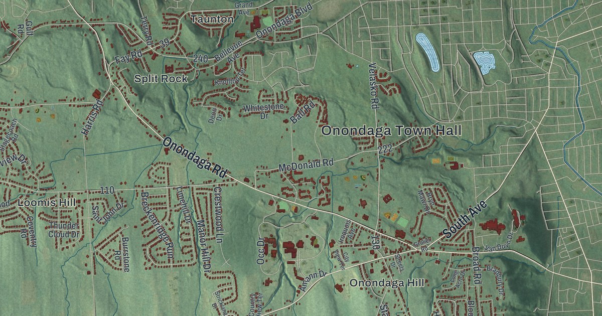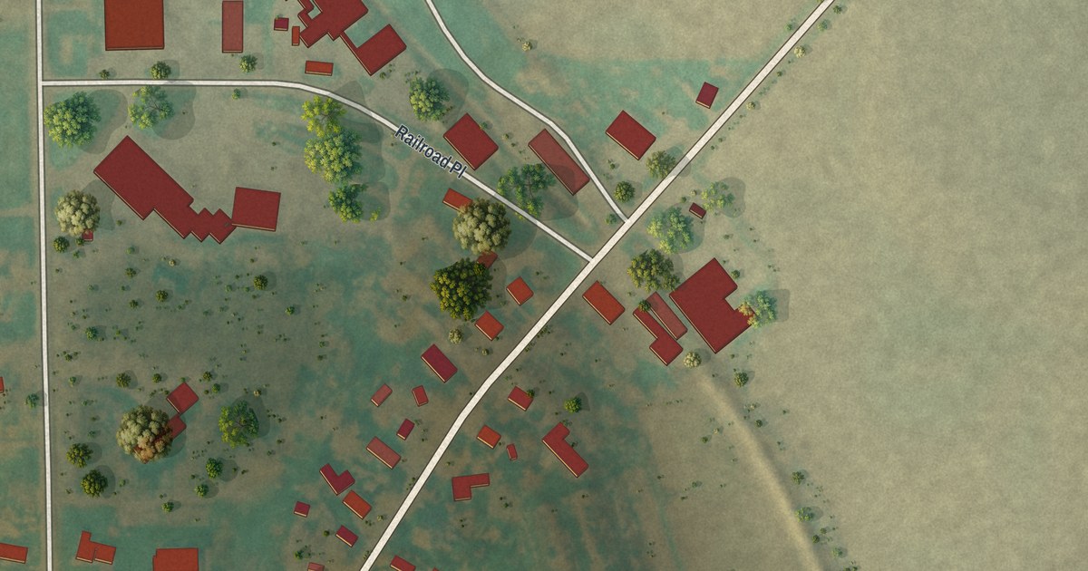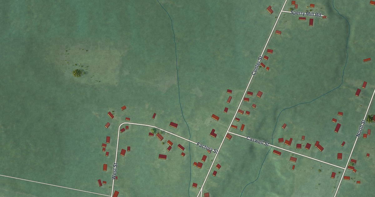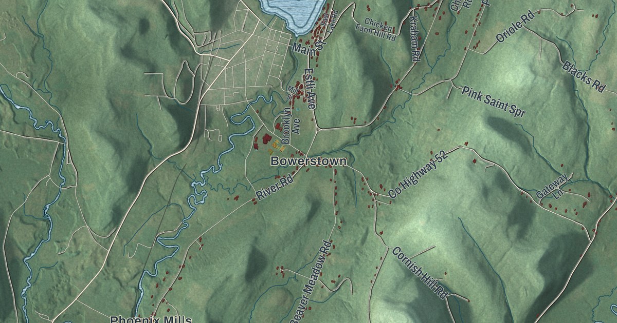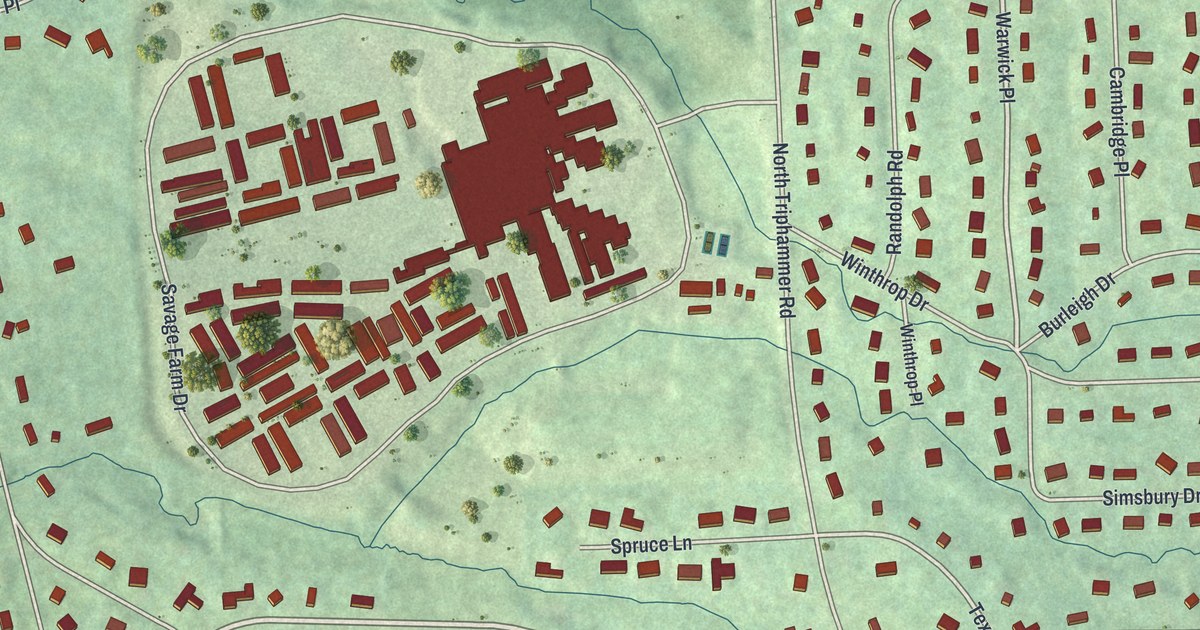
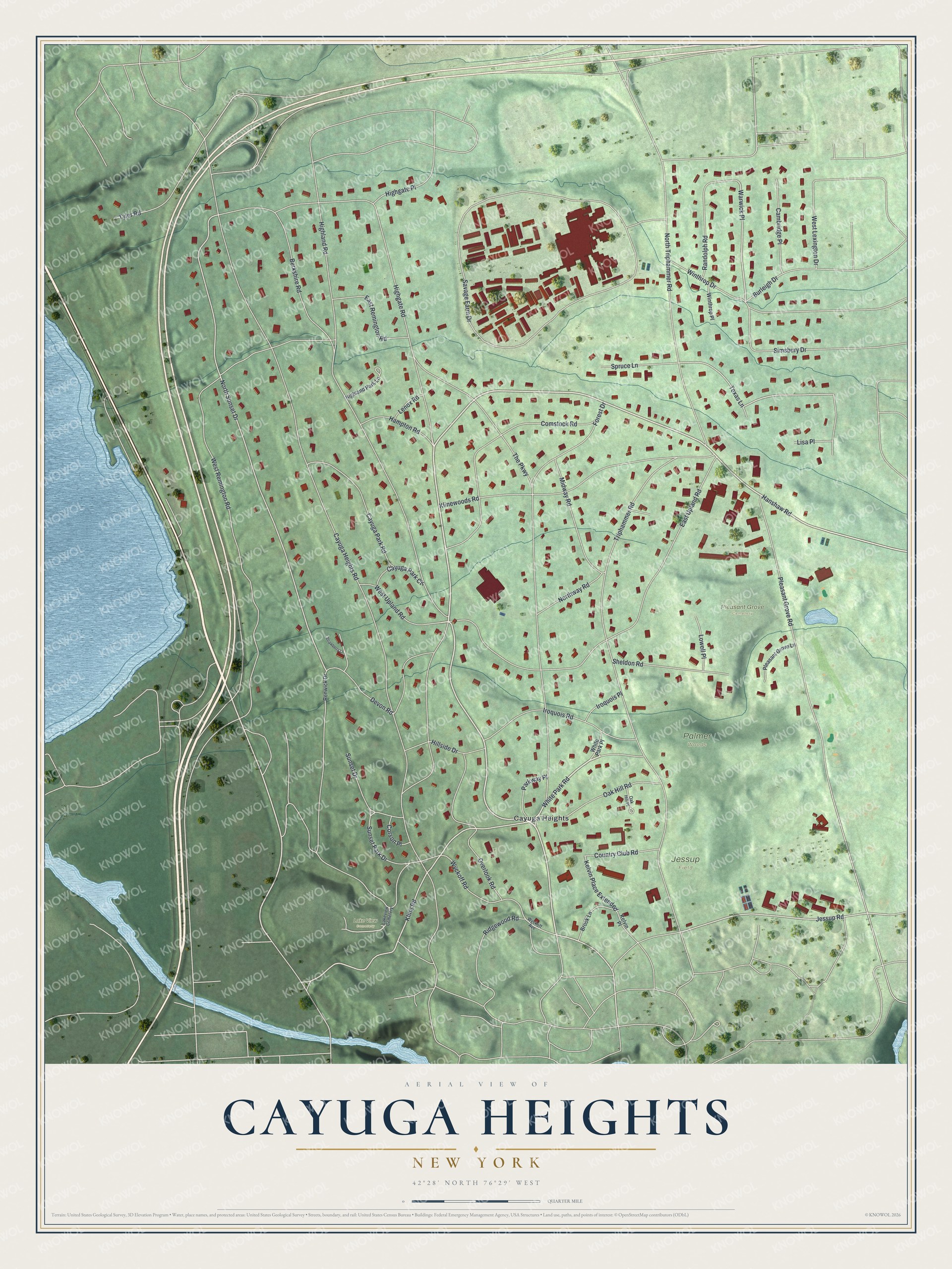
This beautifully detailed map of Cayuga Heights, New York was created in 2026 using aerial imagery combined with modern topographical, census, street and landmark data. It’s a one-of-a-kind view of Cayuga Heights that combines accurate data with a vintage aesthetic. The map shows every building in its true location, many of the roads carry their names, and the shaded topographic relief shows the shape of the land.
Explore an aerial view of Cayuga Heights, New York
On the map you’ll find Warwick Place, Pleasant Grove Cemetery, and Lake View Cemetery, along with Hanshaw Road, White Park Road, Highland Road, Kline Road, and more. If you look closely you can even find your house accurately drawn in its correct location. Zoom in on the preview to look for yours.
Did You Know?
In 1901, two local businessmen, Charles Newman and Jared Blood, bought almost 1,000 acres of farms. They started the Cayuga Heights Land Company. They hired Harold Caparn, the designer of the Brooklyn Botanic Garden, to lay out curving, park-like roads and trees. The village was incorporated in 1915.
Take a closer look at the Cayuga Heights map
Names on this map
These names are printed on this map.
Places: Palmer Woods, Jessup Field, Pleasant Grove Cemetery, Lake View Cemetery, Cayuga Heights and Lakeview Cemetery.
Streets and roads: Hanshaw Road, White Park Road, Highland Road, Kline Road, Warwick Place, Jessup Road, North Sunset Drive, Texas Lane, Kelvin Place Extended, Cayuga Heights Road, Savage Farm Drive, Triphammer Road.
More street names, A to Z
Berkshire Road, Brook Lane, Burleigh Drive, Cambridge Place, Cayuga Park Circle, Cayuga Park Road, Comstock Road, Corson Place, Country Club Road, Devon Road, East Remington Road, East Upland Road, Forest Drive, Hampton Road, Highgate Place, Highgate Road, Highland Park Lane, Hillside Drive, Iroquois Place, Iroquois Road, Kelvin Place, Klinewoods Road, Lenox Road, Lisa Place, Lowell Place, Midway Road, North Triphammer Road, Northway Road, Oak Hill Place, Oak Hill Road, Overlook Road, Parkway Place, Pleasant Grove Lane, Pleasant Grove Road, Randolph Road, Renwick Drive, Ridgewood Road, Sheldon Road, Simsbury Drive, Spruce Lane, Strawberry Lane, Sunset Drive, Sunset Park Drive, The Parkway, Tyler Road, West Lexington Drive, West Remington Road, West Upland Road, White Park Place, Winthrop Drive, Winthrop Place, Wyckoff Avenue, Wyckoff Road.
See it on a wall
The Cayuga Heights map as a framed print. Swipe for more.


This beautifully detailed map of Cayuga Heights makes an attractive addition to your office, library, or den, and it can even be used to teach children the geography and history of the area. It also makes a great gift for anyone who grew up in Cayuga Heights or moved away. When you’re done exploring, click here to get your copy of the Cayuga Heights map.