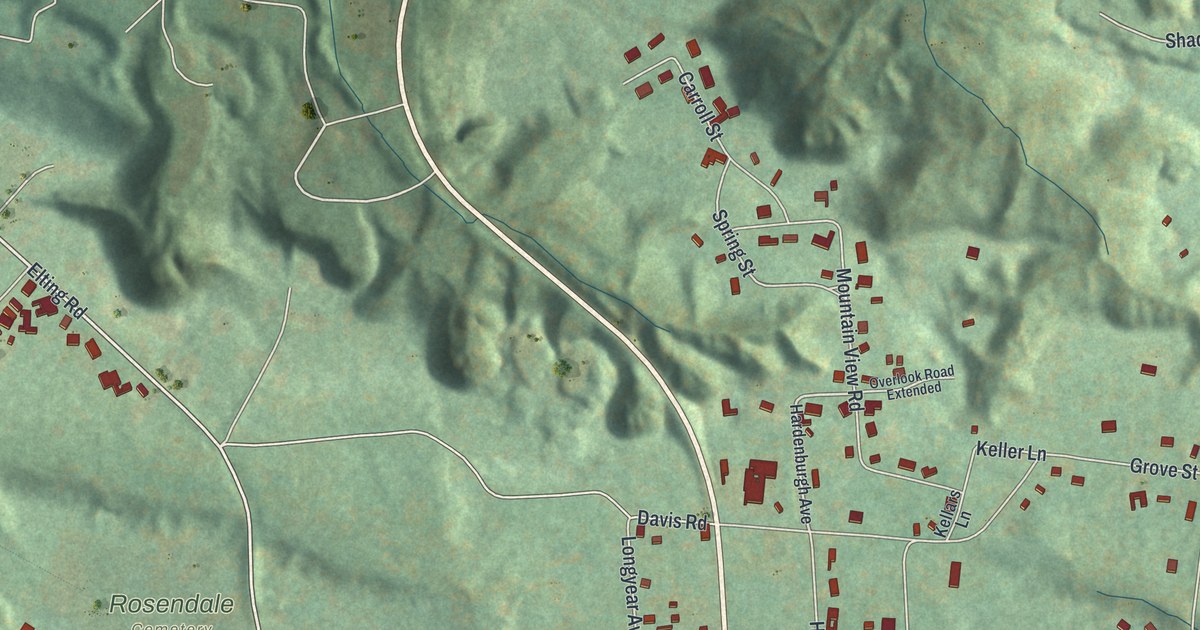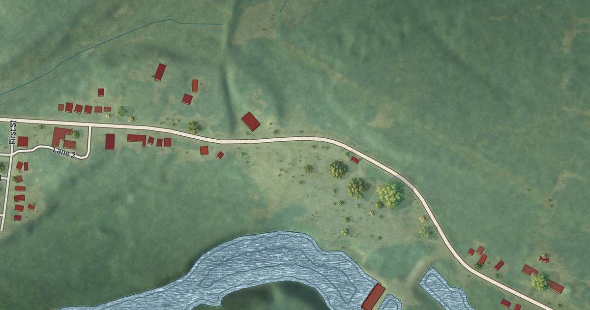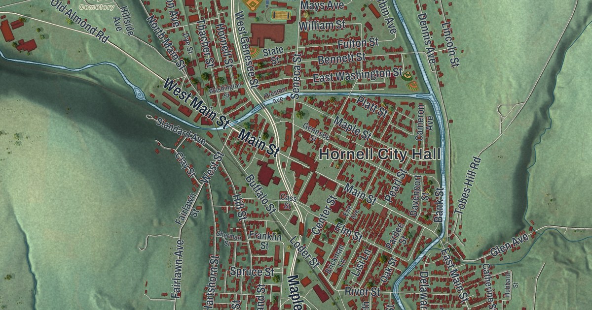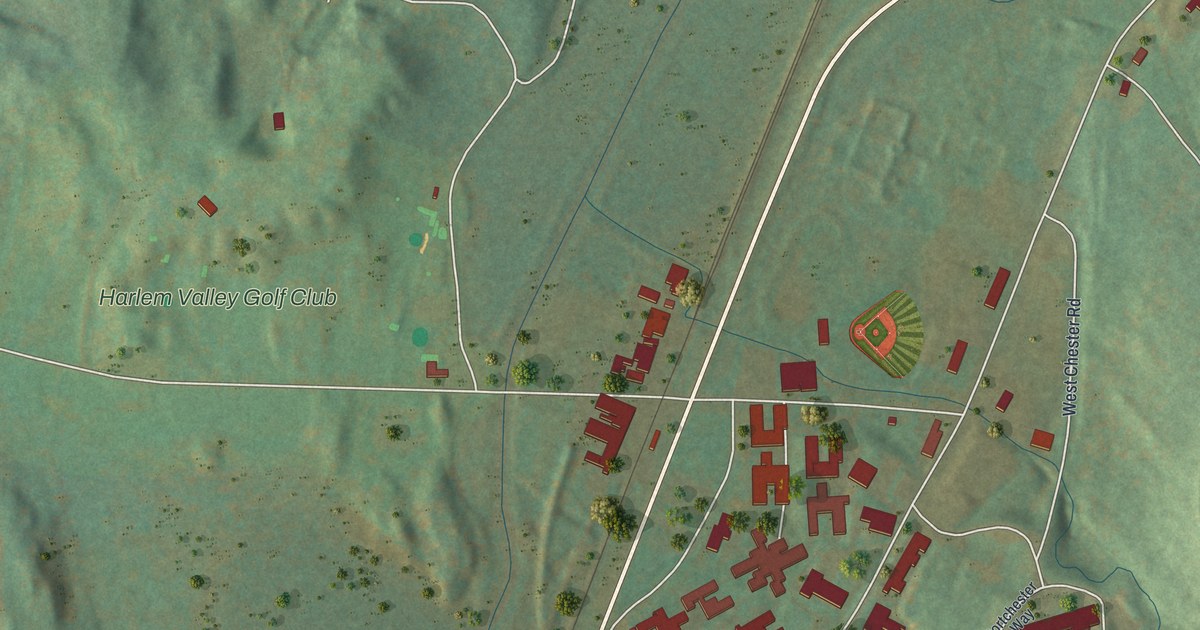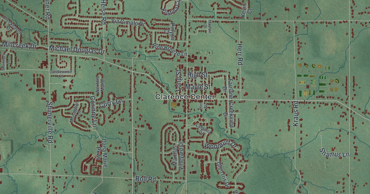
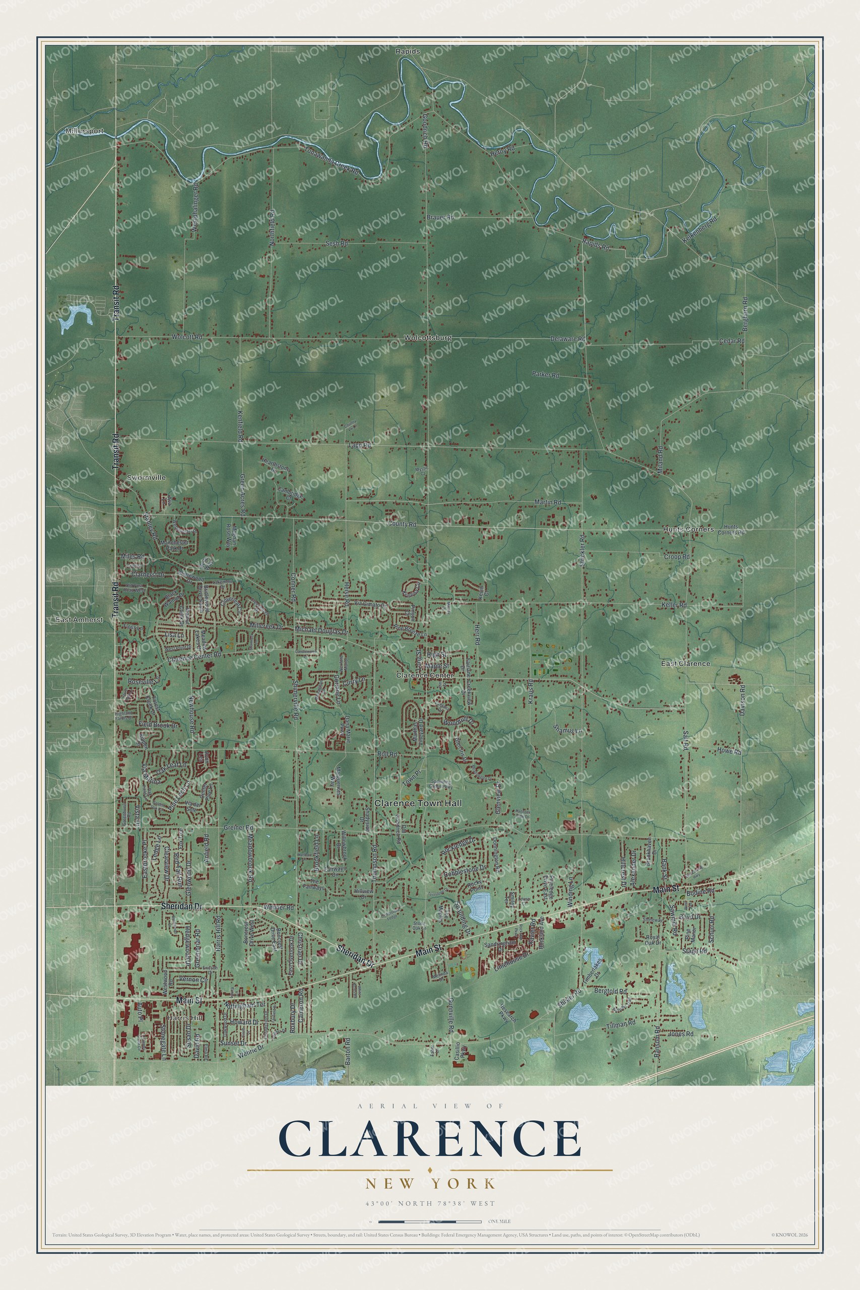
This beautifully detailed map of Clarence, New York was created in 2026 using aerial imagery combined with modern topographical, census, street and landmark data. It’s a one-of-a-kind view of Clarence that combines accurate data with a vintage aesthetic. The map shows every building in its true location, many of the roads carry their names, and the shaded topographic relief shows the shape of the land.
Explore an aerial view of Clarence, New York
On the map you’ll find Clarence Town Hall, Millersport, Harris Hill, East Amherst, Clarence Center, and East Clarence, along with Transit Road, Main Street, Sheridan Drive, Rapids Road, and more. If you look closely you can even find your house accurately drawn in its correct location. Zoom in on the preview to look for yours.
Did You Know?
Clarence was the first town established in Erie County, in 1808. Even the town of Buffalo was once part of it, until it split away in 1810. Asa Ransom was one of the first settlers. He arrived in 1799 and settled in the area now called Clarence Hollow.
Take a closer look at the Clarence map
Names on this map
These names are printed on this map.
Places: Clarence Town Hall, Millersport, Harris Hill, East Amherst, Clarence Center, East Clarence, Hunts Corners, Rapids, Swormville and Wolcottsburg.
Streets and roads: Transit Road, Main Street, Sheridan Drive, Rapids Road, Ledge Lane, Newhouse Road, Pine Loch Lane, Lisa Lane, County Road, Thompson Road, Goodrich Road, Salt Road.
More street names, A to Z
Alexander Drive, Anfield Road, Auto Place, Autumn Trail, Ava Lane, Avon Lea, Bank Street, Barton Road, Belle Way, Berghorn Road, Bergtold Road, Black Walnut Drive, Bodine Road, Boncrest Drive East, Boncrest Drive West, Boyd Drive, Brauer Road, Brentwood Drive, Bridlewood Drive, Bridlewood Drive South, Brookfield Lane, Brookhaven Drive, Cambridge Court, Cameron Road, Candlewood Lane, Casillio Parkway, Cedar Road, Cederstone Ledge, Center Pine Lane, Centre Lane, Christian Drive, Circle Court, Clarence Center Road, Clarherst Drive, Clearview Drive, Cloverleaf Circle, Cobblestone Drive, Connection Drive, Conner Road, Corinne Lane, Country Vw Lane, Coventry Green Circle, Creekhaven Drive, Creekview Drive, Croop Road, Curry Lane, Dana Marie Parkway, David Road, Davison Road, Delaware Road, Donnington Road, Eastbrooke Place, East Overlook Drive, Elma Road, Elm Street, Ericson Drive, Erie County Highway, Faber Lane, Fairfield Drive, Fairlane Drive, Fairways Circle, Field Brook Drive, Floss Lane, Forest Creek Drive, Fox Trce, Glen Iris Drive, Glenview Drive, Glenwood Drive, Golden Oak Circle, Green Acres Road, Greenbriar Road, Greenhurst Road, Greiner Road, Gunnville Road, Harris Hill Road, Hearthstone Drive, Heather Drive, Hedgewood Drive, Heise Road, Heroy Road, Herr Road, Highland Farms Drive, High Street, Hillcrest Drive, Hillview Drive, Howard Drive, Howe Road, Hunts Corners Road, Hurlburt Lane, Jones Road, Kelkenberg Road, Keller Road, Kenfield Road, Kevin Court, Kippen Drive, Kraus Road, Kristina Circle, Lakemont Drive, Lantana Drive, Lapp Road, Laura Lane, Laurel Park Lane, Limehouse Drive, Long Street, Lorne Court, Manchester Park Drive, Maple Street, Marguerites Way, Marthas Vineyard Drive, Martin Road, Mayfair Drive, Meadowbrook Road, Meadowglen Drive, Meadow Lakes Drive, Meghan Rose Way, Melinda Drive, Michael Douglas Drive, Miland Road, Miles Road, Millcreek Drive, Monaghan Lane, Mystic Court, Northfield Road, Nottingham Terrace, Oak Field Lane, Oak Leaf Lane, Oakwood Drive, Old Goodrich Road, Old Post Road West, Paddock View Drive, Parker Road, Pine Breeze Lane, Pineledge Drive East, Pine Manor, Pinyon Court, Ransom Road, Red Tail Run, Research Parkway, Rockland Avenue, Rockledge Drive, Rock Oak Parkway, Rocky Point, Roll Road, Roseville Lane, Roxbury Drive, Royal Oak Drive, Sandringham Drive, Sawmill Road, Schurr Road, Sesh Road, Shadyside Drive, Shamrock Lane, Shamus Lane, Shimerville Road, Shisler Road, Smiley Terrace, Spaulding Drive, Spaulding Green Parkway, Stage Road, Stahley Road, Stonegate Lane, Stone Oak Lane, Stoneway, Strickler Road, Sunset Drive, Susan Drive, The Fairways, The Maples, Tillman Road, Timberlakes Drive, Tonawanda Creek Road, Town Place, Turnstone Drive, Vernon Circle, Via Cimato Drive, Via del Sole, Via Marina, Vista Drive, Walnut Creek Drive, Wehrle Drive, Wenner Road, West Avenue, Westminster Drive, Westphalinger Road, West Point Drive, Westwood Road, Wexford Manor, White Acres Road, Willowbrook Drive, Winding Lane, Wolcott Road, Woodruff Drive, Xavier Road.
See it on a wall
The Clarence map as a framed print. Swipe for more.


This beautifully detailed map of Clarence makes an attractive addition to your office, library, or den, and it can even be used to teach children the geography and history of the area. It also makes a great gift for anyone who grew up in Clarence or moved away. When you’re done exploring, click here to get your copy of the Clarence map.