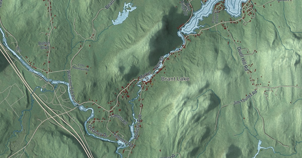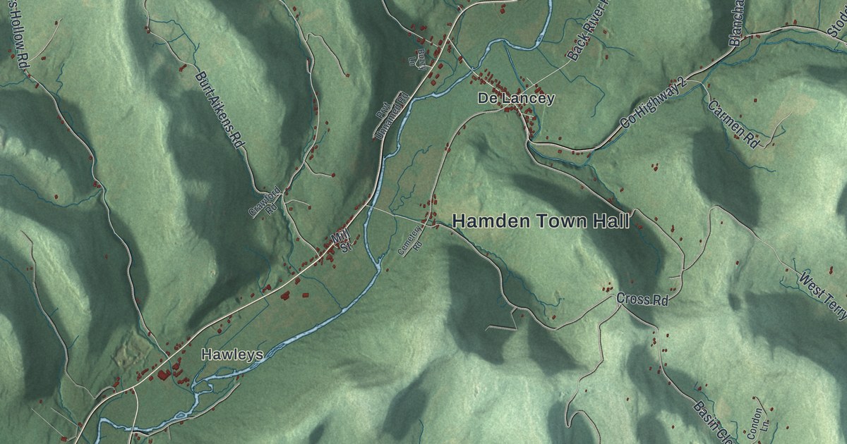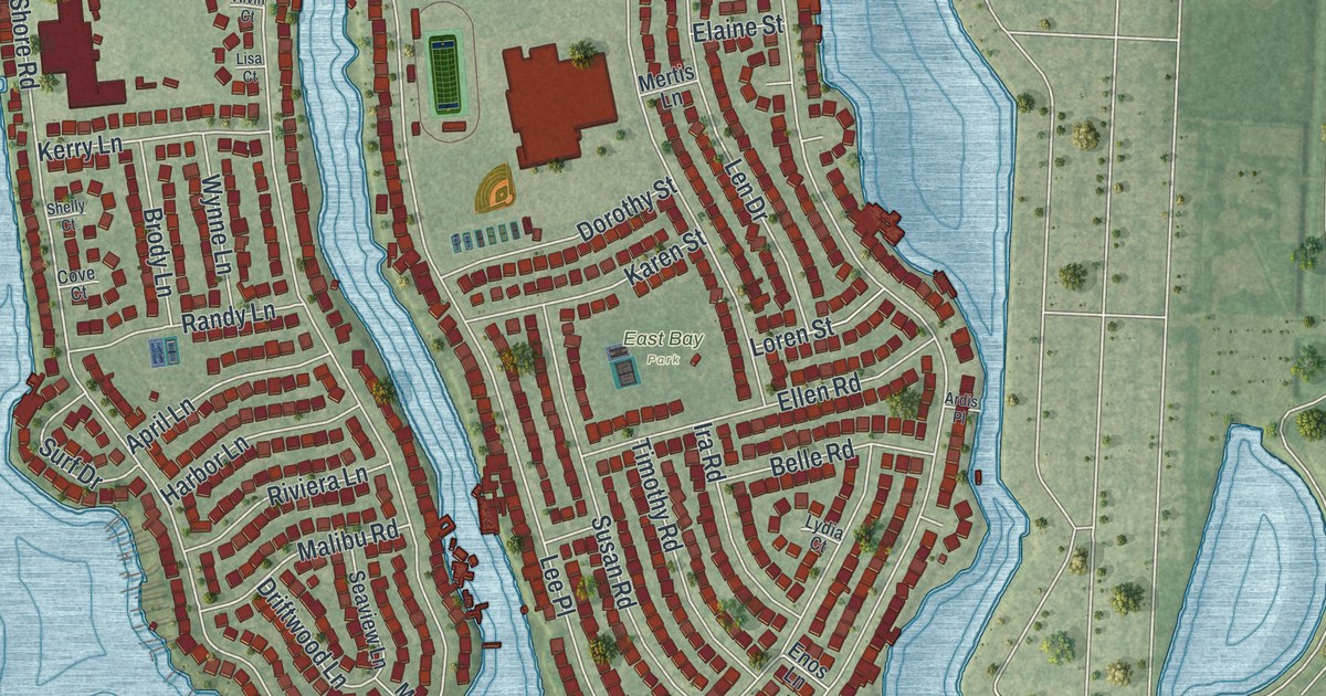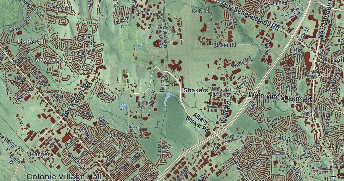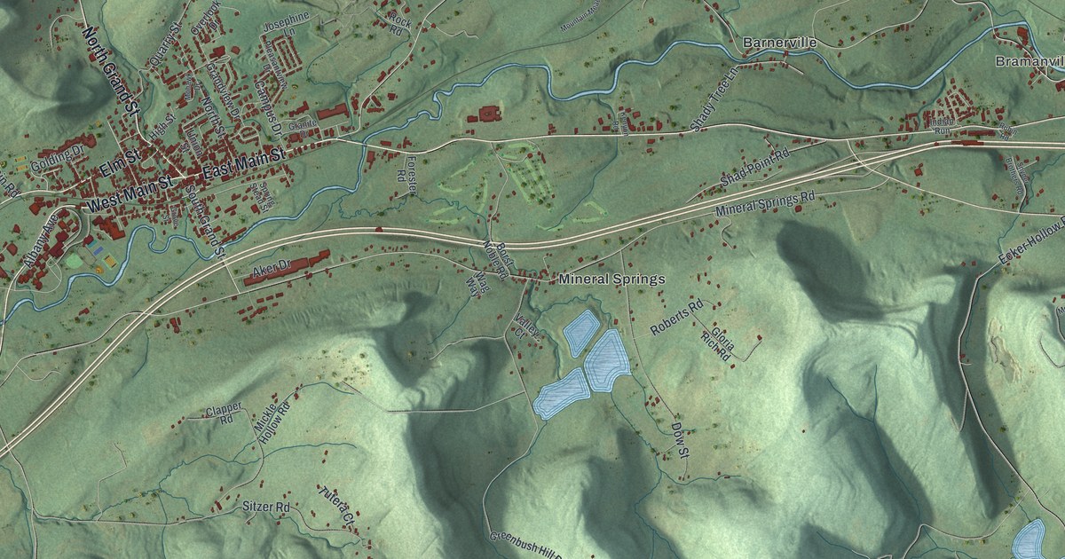
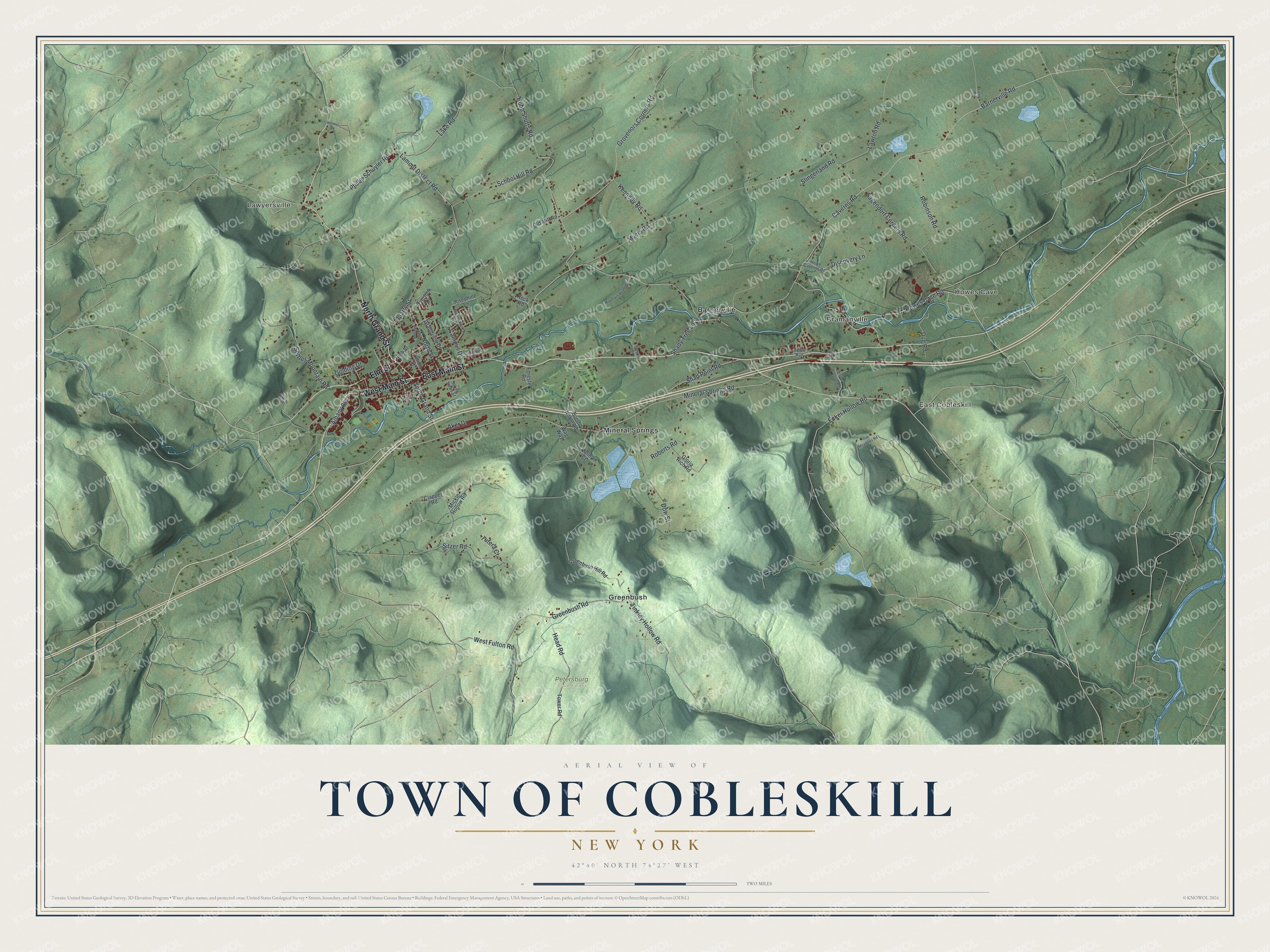
This beautifully detailed map of the Town of Cobleskill, New York was created in 2026 using aerial imagery combined with modern topographical, census, street and landmark data. It’s a one-of-a-kind view of the Town of Cobleskill that combines accurate data with a vintage aesthetic. The map shows every building in its true location, many of the roads carry their names, and the shaded topographic relief shows the shape of the land.
Explore an aerial view of the Town of Cobleskill, New York
On the map you’ll find Lawyersville, Howes Cave, East Cobleskill, Bramanville, Barnerville, and Petersburg State Forest, along with Main Street, Grand Street, Elm Street, Caverns Road, Aker Drive, and more. If you look closely you can even find your house accurately drawn in its correct location. Zoom in on the preview to look for yours.
Did You Know?
Cobleskill was named for Jacob Kobell, a local mill owner, joined to kil, the Dutch word for a stream. Settlers first arrived around 1712. The town itself was founded in 1795, the same year as Schoharie County.
Take a closer look at the Town of Cobleskill map
Names on this map
These names are printed on this map.
Places: Lawyersville, Howes Cave, East Cobleskill, Bramanville, Petersburg State Forest, Barnerville, Greenbush and Mineral Springs.
Streets and roads: East Main Street, West Main Street, North Grand Street, Elm Street, Caverns Road, South Grand Street, Aker Drive, Quarry Street, Lamont District Road, Tinkley Hollow Road, Barnerville Road, Mineral Springs Road.
More street names, A to Z
Albany Avenue, Borst Noble Road, Campus Drive, Clapper Road, Discovery Lane, Dow Street, Dug Road, Ecker Hollow Road, Forester Road, Freed Road, Gloria Rich Road, Golding Drive, Grandview Drive, Granite Drive, Greenbush Hill Road, Greenbush Road, Grovenors Corners Road, Grove Street, Head Road, High Street, Holmes Road, Howe Caverns Road, Howes Cave Road, Hubb Shutts Road, Indian Run, Josephine Lane, Kennedy Road, Kenyon Road, Lake Road, Lawton Road, Mickle Hollow Road, Mohawk Drive, Mountain Meadows Lane, Myers Road, Nassau Avenue, North Street, Oak Meadows Road, Old Mill Road, Overlook Drive, Phillip Schuyler Road, Pleasantview Drive, Roberts Road, Robinson Road, Rock Road, Rubin Road, Sagendorf Corners Road, School Hill Road, Settles Mountain Road, Shad Point Road, Shady Tree Lane, Sitzer Road, Slingerland Road, Snyder Brothers Road, Spring Stead Street, Tower Road, Tutera Court, Union Street, Valley Court, Wag Way, West Fulton Road.
See it on a wall
The Cobleskill map as a framed print. Swipe for more.


This beautifully detailed map of the Town of Cobleskill makes an attractive addition to your office, library, or den, and it can even be used to teach children the geography and history of the area. It also makes a great gift for someone who left the Town of Cobleskill and still calls it home. When you’re done exploring, click here to get your copy of the Town of Cobleskill map.