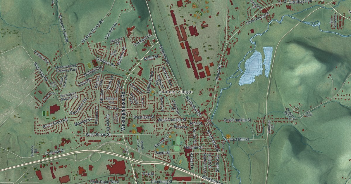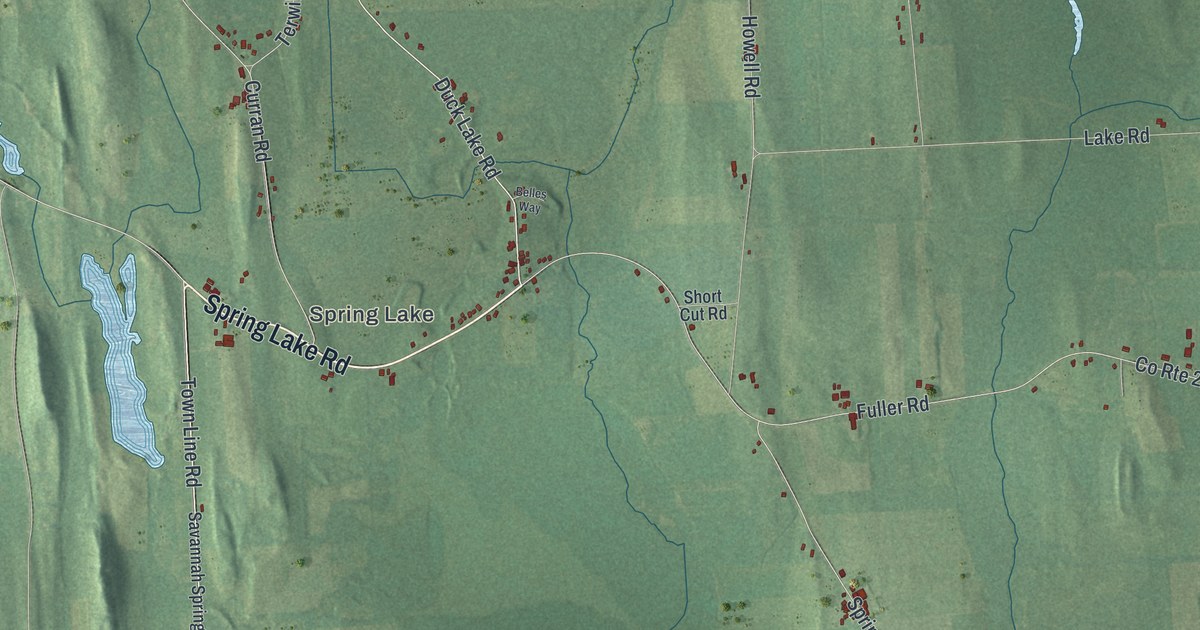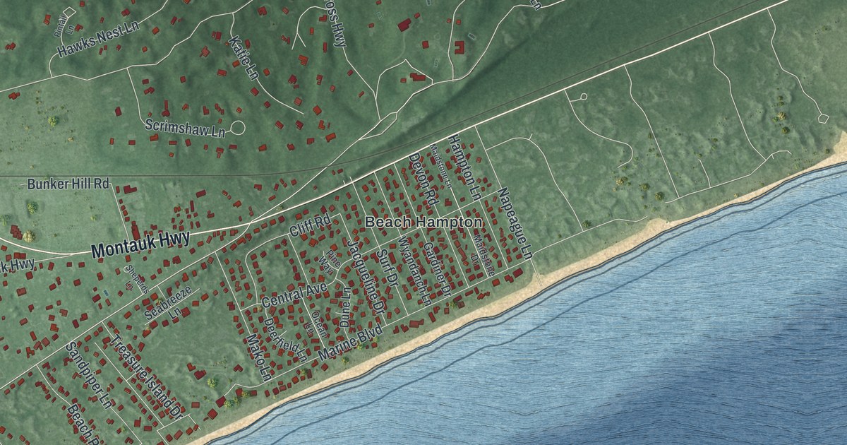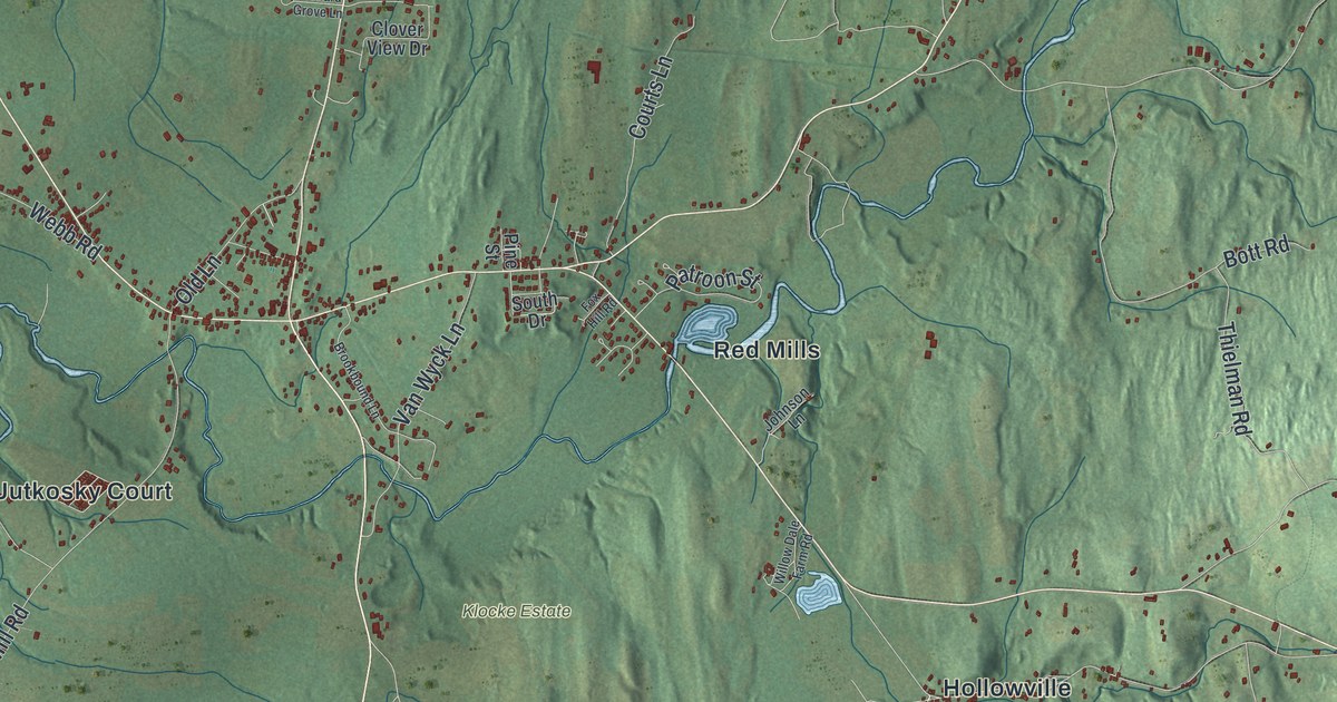
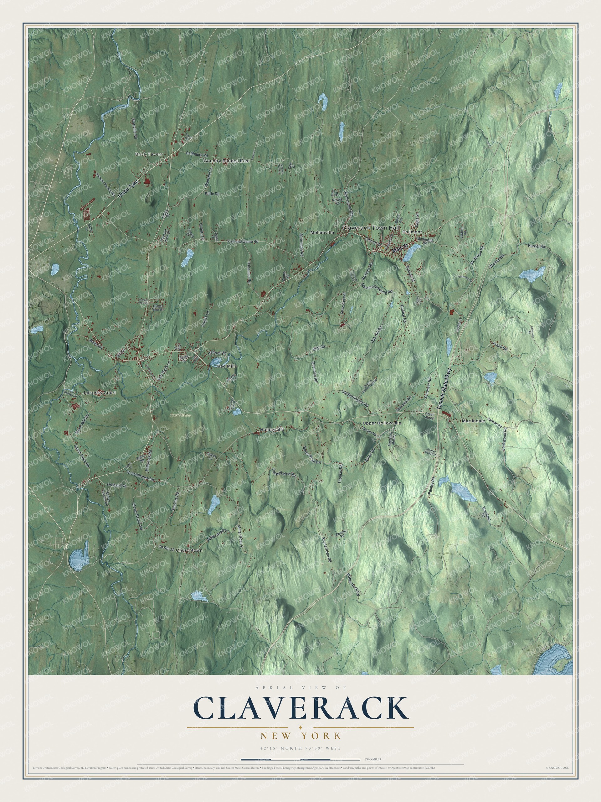
This beautifully detailed map of Claverack, New York was created in 2026 using aerial imagery combined with modern topographical, census, street and landmark data. It’s a one-of-a-kind view of Claverack that combines accurate data with a vintage aesthetic. The map shows every building in its true location, many of the roads carry their names, and the shaded topographic relief shows the shape of the land.
Explore an aerial view of Claverack, New York
On the map you’ll find Claverack Town Hall, Brick Tavern, Churchtown, Hollowville, and Martindale, along with Taconic State Parkway, Union Turnpike, Main Street, Prach Road, Jutkosky Court, and more. If you look closely you can even find your house accurately drawn in its correct location. Zoom in on the preview to look for yours.
Did You Know?
Claverack takes its name from Klaverakker, a Dutch term for clover fields. The first mastodon tooth ever found turned up here in 1705, dug up by a Dutch tenant farmer. The land once formed the Lower Manor of Rensselaer, a huge estate granted to a leading Dutch family.
Take a closer look at the Claverack map
Names on this map
These names are printed on this map.
Places: Claverack Town Hall, Brick Tavern, Klocke Estate, Churchtown, Country Estates East, Hollowville, Jutkosky Court, Martindale, Mellenville, Philmont, Red Mills and Upper Hollowville.
Streets and roads: Taconic State Parkway, Union Turnpike, Main Street, Prach Road, County Route 12, Schoolhouse Road, Fish and Game Road, Gahbauer Road, Snydertown Road, Roxbury Road, Tishauser Road, Catskill View Road.
More street names, A to Z
Angus Lane, Baker Road, Bates Road, Bates Road Extension, Bender Boulevard, Bott Road, Brookbound Lane, Carlson Road, Church Street, Clover Reach Road, Clover View Drive, Coons Road, County Route 11, Courts Lane, Damita Drive, Decker Road, Deer Drive, Donnely Road, Dunbar Road, Eagle Street, Fox Hill Road, Green Acres, Harder Road, Harlemville Road, Humane Society Road, Joann Drive, Johnson Lane, Justice Road, Kittle Road, Kittles Road, Lockwood Road, Manor Rock Road, Maple Avenue, Martindale Road, Mc Brown Road, Mellenville Road, Millbrook Road, Miller Road 1, Miller Road 2, Norwood Road, Oak Hill Road, Old Barrington Road, Old Lane, Orchard Grove Lane, Orchard Road, Overshott Mill Road, Palmer Road, Palmer Road Extension, Patroon Street, Pine Lane, Pine Road, Pine Street, Pleasant View Drive, Preusser Road, Prospect Street, Roxbury Hollow Farm Road, Rustys Road, Sabo Lane, School Teacher Road, Schroeder Road, Shasta Drive, South Drive, Spook Rock Road, Stevers Crossing Road, Stickles Road, Stone Mill Road, Stottville Road, Summit Street, Summit View Lane, Sweeny Road, Swiss Farm Road, Thielman Road, Thomas Road, Thresholds Farm Road, Tipple Road, Valley Lane, Van Deusen Road, Van Wyck Lane, Walden Road, Webb Road, Wensels Lane, Willow Dale Farm Road, Woodland Road.
See it on a wall
The Claverack map as a framed print. Swipe for more.


This beautifully detailed map of Claverack makes an attractive addition to your office, library, or den, and it can even be used to teach children the geography and history of the area. It also makes a great gift for someone who left Claverack and still calls it home. When you’re done exploring, click here to get your copy of the Claverack map.