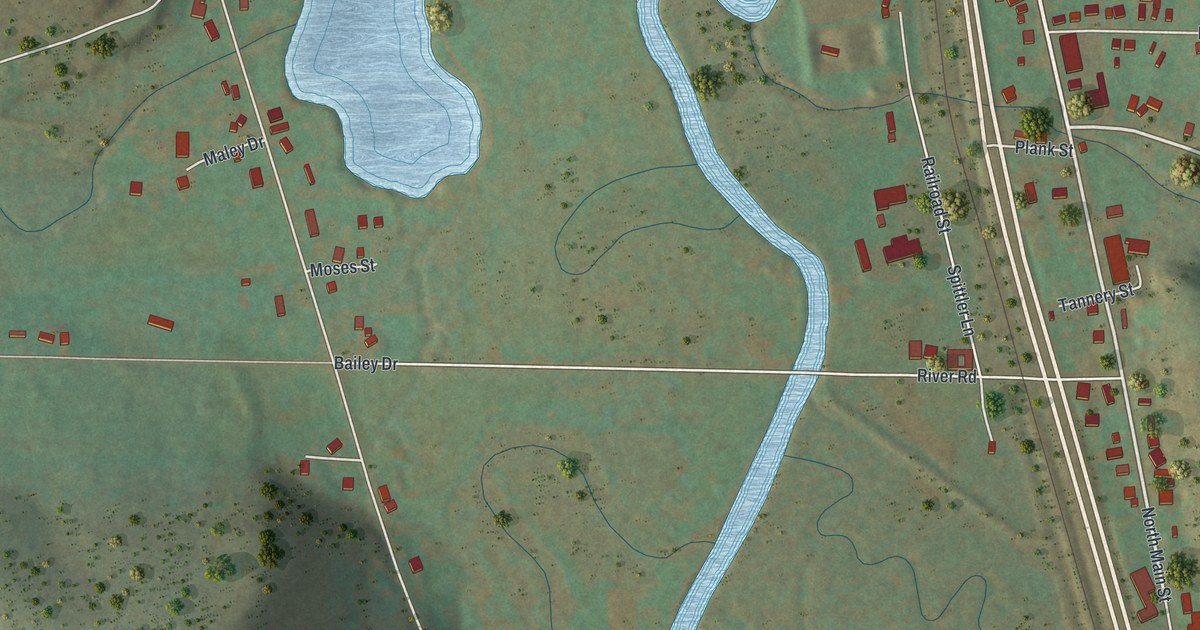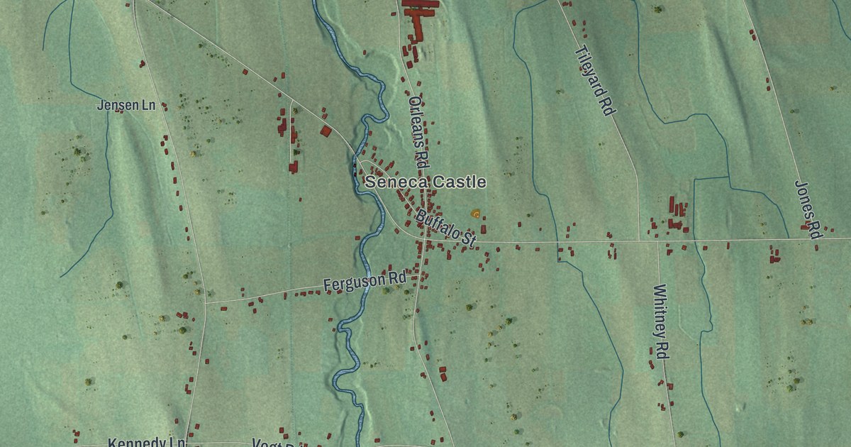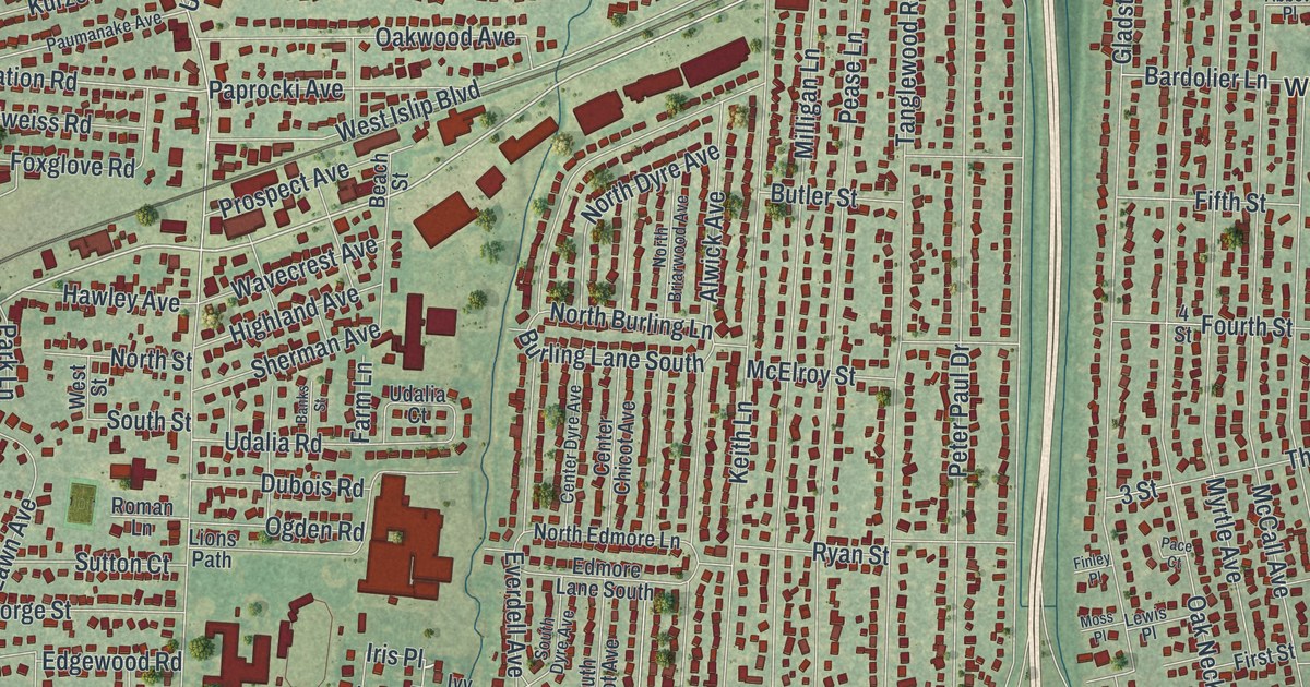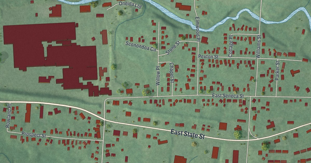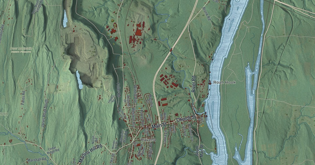
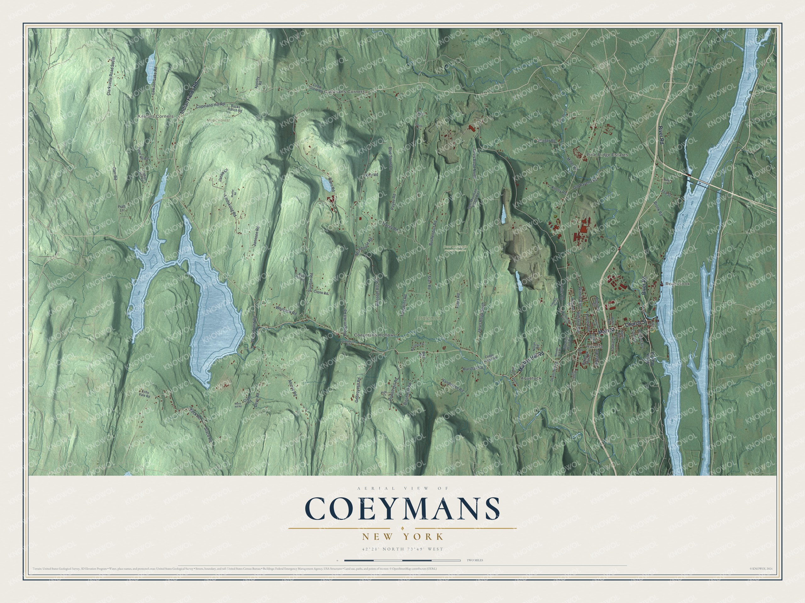
This beautifully detailed map of Coeymans, New York was created in 2026 using aerial imagery combined with modern topographical, census, street and landmark data. It’s a one-of-a-kind view of Coeymans that combines accurate data with a vintage aesthetic. The map shows every building in its true location, many of the roads carry their names, and the shaded topographic relief shows the shape of the land.
Explore an aerial view of Coeymans, New York
On the map you’ll find Roah Hook, Keefers Corners, Aquetuck, Callanans Corners, Coeymans Hollow, Deer Mountain Nature Preserve, Joralemon Park, and Magic Forest Farm, along with River Road, Main Street, Martins Hill Road, Church Street, Indian Fields Road, and more. If you look closely you can even find your house accurately drawn in its correct location. Zoom in on the preview to look for yours.
Did You Know?
About 40 years before 1940, Coeymans made brick and cut ice. Both were shipped in large amounts to New York City. Then the city turned to stone for building, and electric refrigerators replaced leaky iceboxes. Coeymans stopped growing, though its brick industry was still important. That’s from the 1940 WPA guide to New York.
Take a closer look at the Coeymans map
Names on this map
These names are printed on this map.
Places: Roah Hook, Keefers Corners, Deer Mountain Nature Preserve, Joralemon Park, Magic Forest Farm, Aquetuck, Callanans Corners, Coeymans Hollow, Pine Ridge Estates and Ravena.
Streets and roads: River Road, Main Street, Martins Hill Road, Church Street, Indian Fields Road, Kruger Road, Fuller Road, Copeland Hill Road, Vanderzee Road, Starr Road, Blodgett Hill Road, Stanton Road.
More street names, A to Z
Alcove Road, Appleby Road, Aquetuck Road, Beck Road, Biechman Road, Biers Road, Blaisdell Avenue, Blossom Hill Road, Blue Stone Lane, Bridge Road, Bronk Road, Bucks Ranch Road, Bushendorf Road, Carr Road, Cary Street, Cedar Grove Road, Cedar Ridge Road, Civill Avenue, Clarksville Road South, Coons Road, Crudo Road, Deans Mill Road, Deer Mountain Village Road, Deyo Road, Echo Vale Road, Fares Road, Filtration Plant Road, First Street, Fox Street, Gedney Hill Road, Greenbush Avenue, Halsted Lane, Harris Avenue, Hillcrest Drive, Indian Hill Road, Jacob Lane, Jannsen Road, Jarvis Road North, Jarvis Road South, Keir Road, Kinley Road, Kyle Lane, Laura Lane, Lawson Lake Road, Limekill Road, Lindskoog Road, Macintosh Street, Magnolia Circle, Marshall Road, Miller Road, Morehouse Road, Mossy Hill Road, Mountain Road Extended, Mud Hill Road, Mueller Road, Nolan Road, North Lane, Oakbrook Manor, Old Ravena Road, Old State Road, Orchard Avenue, Payne Road, Powell Hill Road, Pratt Lane, Pulver Avenue, Railroad Avenue, Ridge Road, Ruby Lane, South Lane, South Main Street, Staco Road, Stott Drive, Tompkins Road, Tracey Road, Waterboard Road, Western Avenue, Whitbeck Road, Willis Avenue, Winnie Avenue, Wonder Vue Drive, Zabel Hill Road.
See it on a wall
The Coeymans map as a framed print. Swipe for more.


This beautifully detailed map of Coeymans makes an attractive addition to your office, library, or den, and it can even be used to teach children the geography and history of the area. It also makes a great gift for anyone who grew up in Coeymans or moved away. When you’re done exploring, click here to get your copy of the Coeymans map.