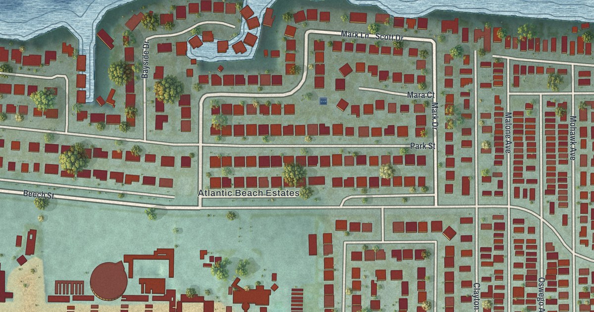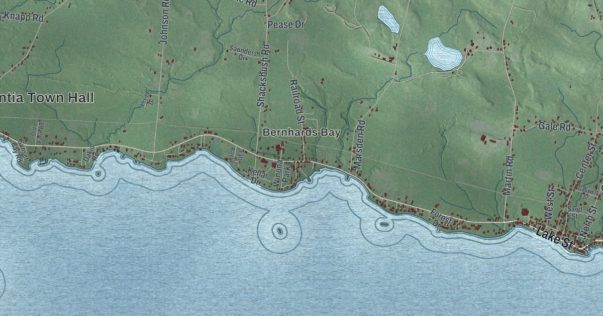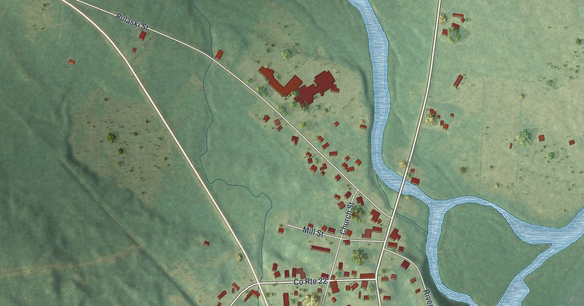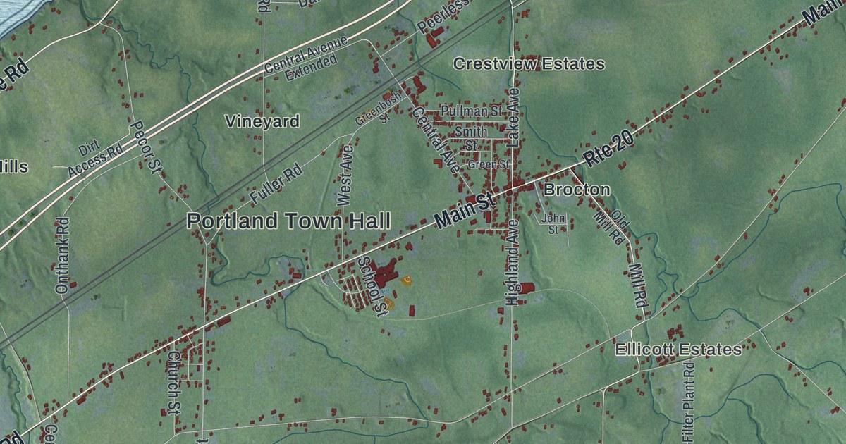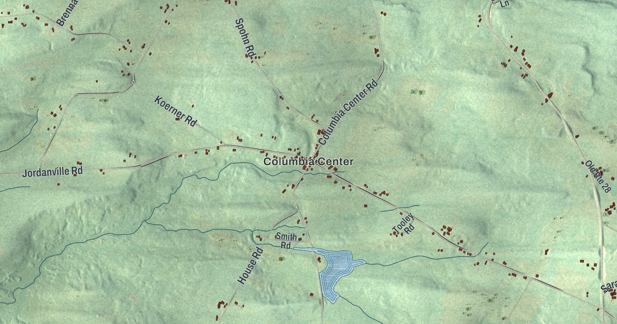
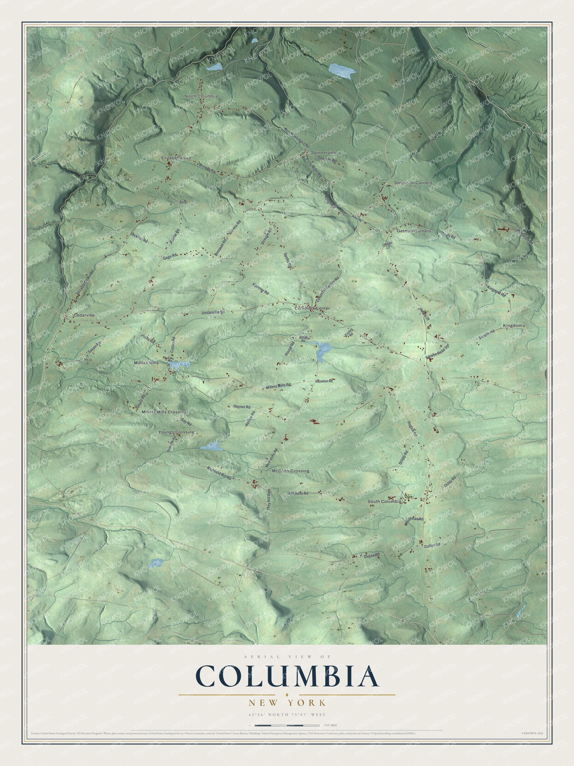
This beautifully detailed map of Columbia, New York was created in 2026 using aerial imagery combined with modern topographical, census, street and landmark data. It’s a one-of-a-kind view of Columbia that combines accurate data with a vintage aesthetic. The map shows every building in its true location, many of the roads carry their names, and the shaded topographic relief shows the shape of the land.
Explore an aerial view of Columbia, New York
On the map you’ll find North Columbia, Cedarville, Columbia Center, Dennison Corners, and Elizabethtown, along with Jordanville Road, Polly Miller Road, Diehl Road, Gage Road, Eberline Road, and more. If you look closely you can even find your house accurately drawn in its correct location. Zoom in on the preview to look for yours.
Did You Know?
In its early days the area was called Coonradstown. Its first settlers, mostly of German descent, left their land during the American Revolution. Settlement began again around 1791. The first school opened in 1795, and its lessons were taught in German.
Take a closer look at the Columbia map
Names on this map
These names are printed on this map.
Places: North Columbia, Cedarville, Columbia Center, Dennison Corners, Elizabethtown, Getman Corners, Kingdom, McCoon Crossing, Millers Mills, Millers Mills Crossing, South Columbia, Spinnerville and Youngs Crossing.
Streets and roads: Jordanville Road, Polly Miller Road, Diehl Road, Gage Road, Eberline Road, Brennan Road, Columbia Center Road, Mc Koons Road, Millers Mills Road, Stroupe Road, Dugan Road, Depot Road.
More street names, A to Z
Beebe Road, Brenna Road, Brewer Road, Casler Road, Cullen Road, Dropp Road, Elizabethtown Road, Gay Road, Hayner Road, Hazelton Road, Hoffman Road, Hollow Road, House Road, Hugick Road, Huxtable Road, Jones Road, Kingdom Road, Koerner Road, Lake Road, McKoons Road, North Columbia Road, Old Route 28, Osley Road, Owens Lane, Poly Miller Road, Prey Hill Road, Purdy Road, Richfield Hill Road, Robinson Road, Sarafin Road, Sarafin Road Spr, Saxon Road, Seckner Road, Smith Road, Spohn Road, Spur, Tooley Road.
See it on a wall
The Columbia map as a framed print. Swipe for more.


This beautifully detailed map of Columbia makes an attractive addition to your office, library, or den, and it can even be used to teach children the geography and history of the area. It also makes a great gift for anyone who grew up in Columbia or moved away. When you’re done exploring, click here to get your copy of the Columbia map.