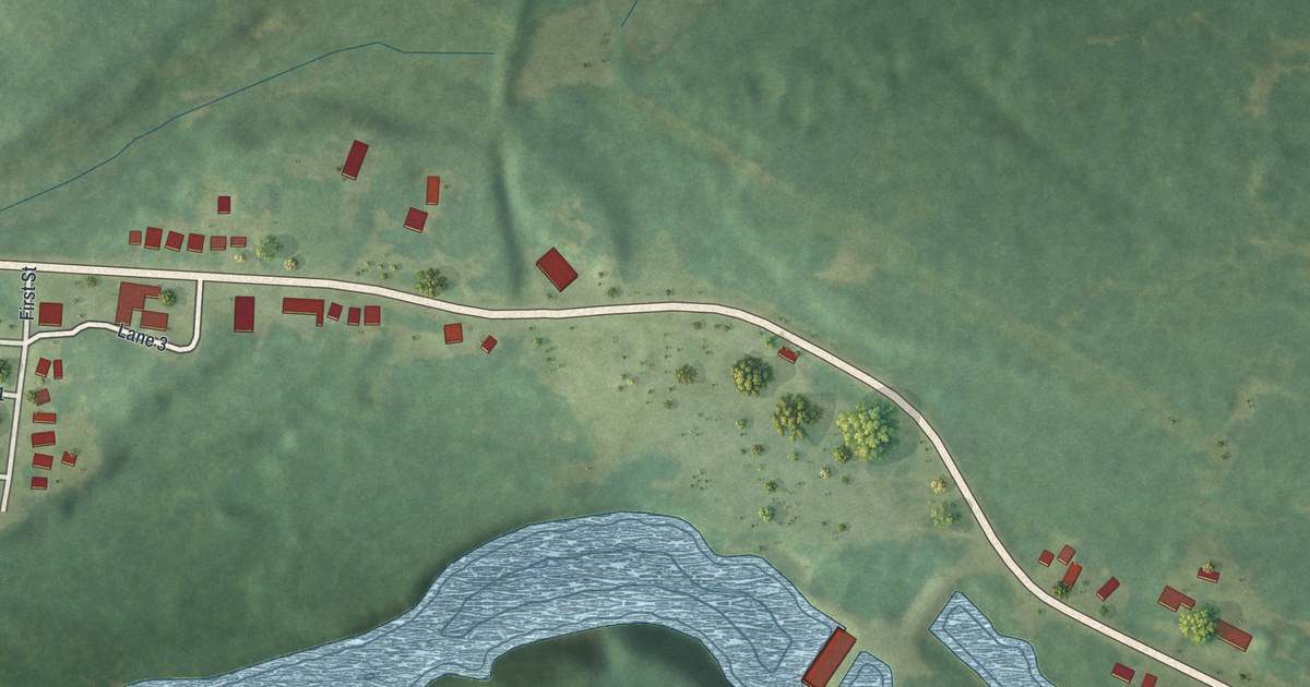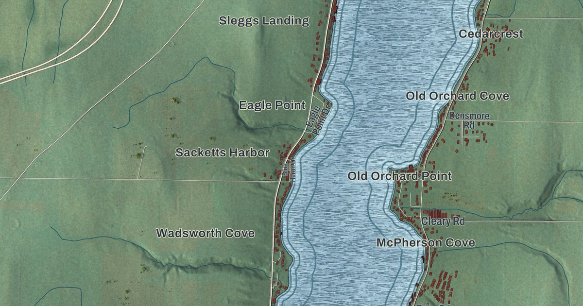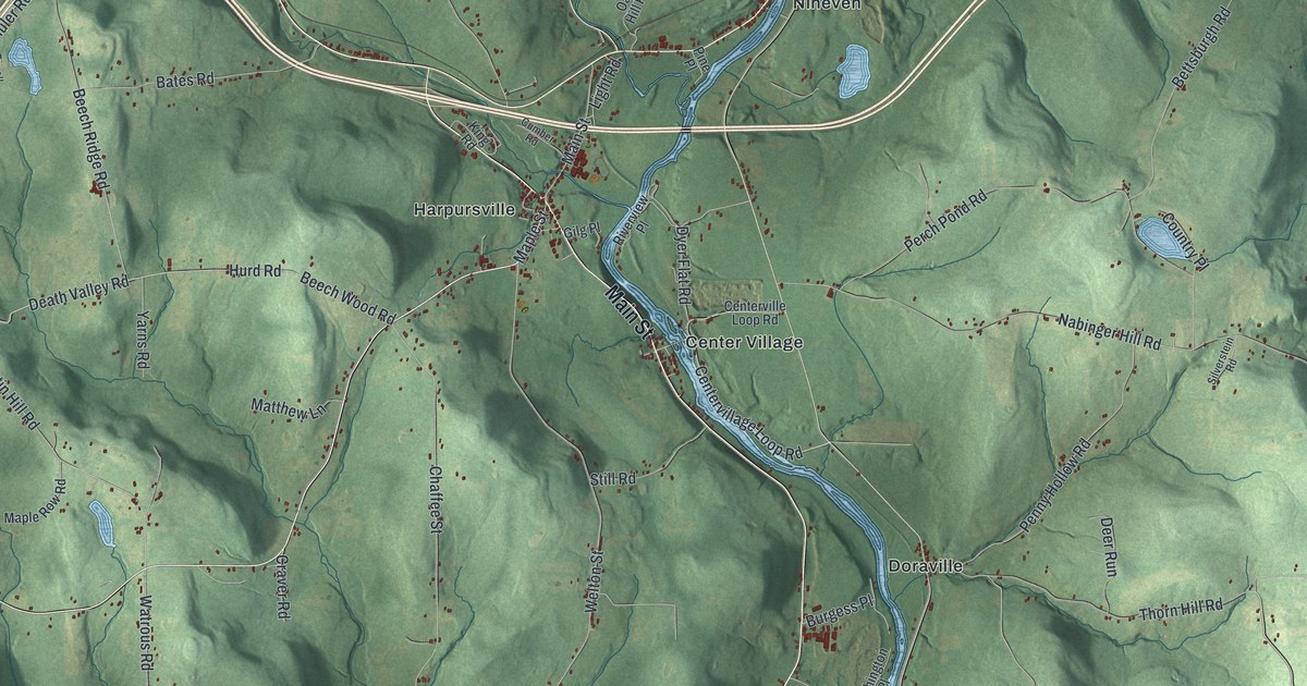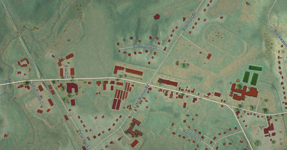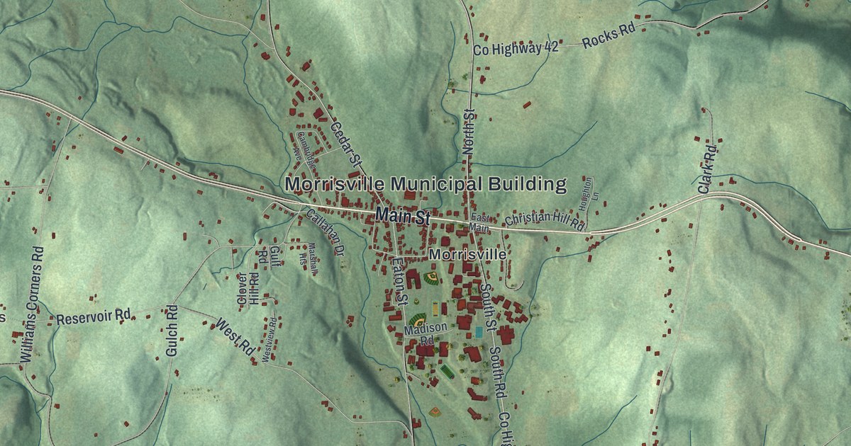
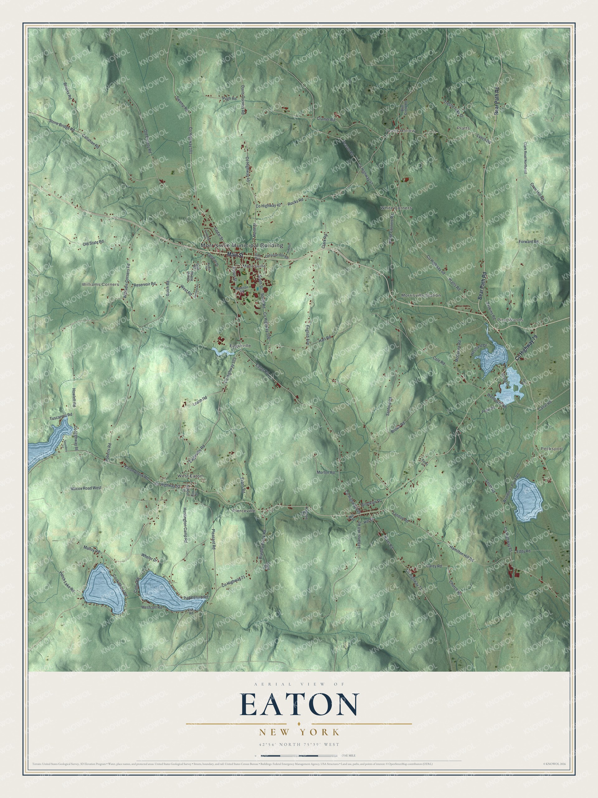
This beautifully detailed map of Eaton, New York was created in 2026 using aerial imagery combined with modern topographical, census, street and landmark data. It’s a one-of-a-kind view of Eaton that combines accurate data with a vintage aesthetic. The map shows every building in its true location, many of the roads carry their names, and the shaded topographic relief shows the shape of the land.
Explore an aerial view of Eaton, New York
On the map you’ll find Morrisville Municipal Building, Pratts, Pecksport, Pratts Hollow, Pine Woods, and Williams Corners, along with Bear Path Road, Main Street, Leach Road, Church Road, and more. If you look closely you can even find your house accurately drawn in its correct location. Zoom in on the preview to look for yours.
Did You Know?
Eaton took its name from William Eaton, an officer of the Revolution. He later commanded the American military forces in Tripoli. The land was once a main home of the Oneida people, who sided with the colonists in the Revolution. White settlers came about 1792, and the town split from Hamilton in 1807.
Take a closer look at the Eaton map
Names on this map
These names are printed on this map.
Places: Morrisville Municipal Building, Pratts, Pecksport, Pratts Hollow, Pine Woods, Williams Corners, Eagleville, Morrisville, Morrisville Station, Pierceville, West Eaton and White Corners.
Streets and roads: Bear Path Road, Main Street, County Highway 79, County Highway 103, Leach Road, Church Road, Eagleville Road, County Highway 106, South Road, County Highway 45, Davis Corners Road, Huntington Camp Road.
More street names, A to Z
Blue Creek Road, Bradley Brook Road, Brooklyn Street, Brooks Road, Brown Road, Callahan Drive, Callahan Road, Cambridge Avenue, Camp Road, Canal Road, Candy Lane, Carey Road, Cedar Street, Christian Hill Road, Clark Road, Clark Road Northeast, Clover Hill Road, Cole Road, Cook Shore Road, County Highway 42, County Highway 47, County Highway 49, County Highway 52, County Highway 71, County Highway 73, County Highway 85, County Highway 86, County Highway 101, County Highway 105, Cramer Road, Crow Hill Road, East Main, Eaton Brook Road, Eaton Road, Eaton Street, Eddy Road, Elm Street, English Avenue, Evans Road, Fearon Road, Fisk Road, Forward Road, Frost Road, Gulch Road, Gulf Road, Hagman Road, Hamilton Hill Road, Hart Road, Hatch Lake Road, Hill Street, Houghton Lane, Howlett Road, Landon Road, Lebanon Hill Road, Lynch Road, Madison Road, Malloy Road, Marshall Heights, McQueen Road, Mill Street, Morton Road, North Street, Old County Road, Old State Road, Paddleford Road, Paino Road, Pecks Road, Perkins Road, Pleasant Road, Pratts Road, Pugh Road, Reservoir Road, River Road, Roberts Road, Rocks Road, Sanford Road, Saunders Lane, School Street, Smith Road, South Street, Stone Bridge Road, Strong Lane, Swamp Road, Trestle Lake Drive, Tuscarora Road, Wendover Road, Westcott Road, Westland Drive, West Road, Westview Road, Wheler Drive, White Corners Road, Wilcox Road West, Williams Corners Road, Woodman Pond Road.
See it on a wall
The Eaton map as a framed print. Swipe for more.


This beautifully detailed map of Eaton makes an attractive addition to your office, library, or den, and it can even be used to teach children the geography and history of the area. It also makes a great gift for anyone with Eaton roots. When you’re done exploring, click here to get your copy of the Eaton map.