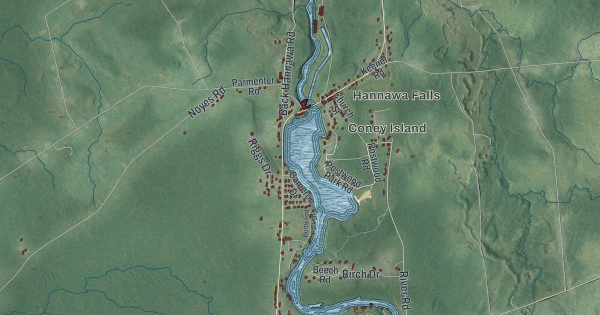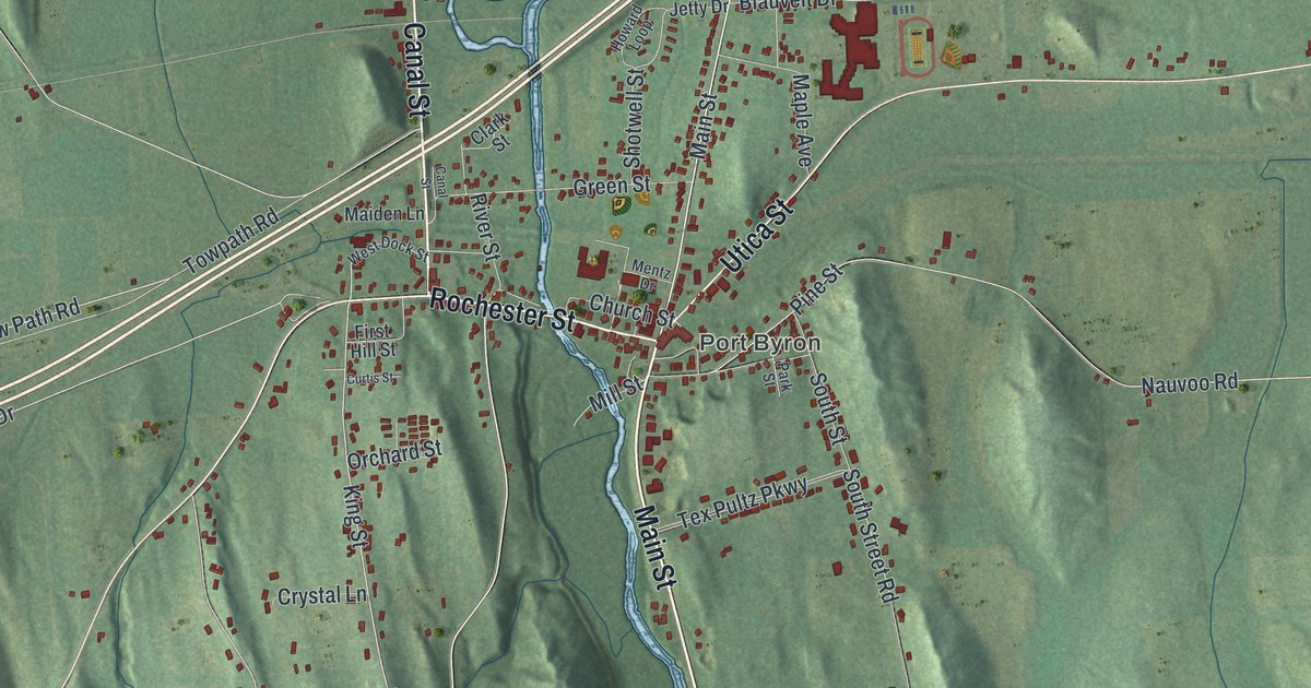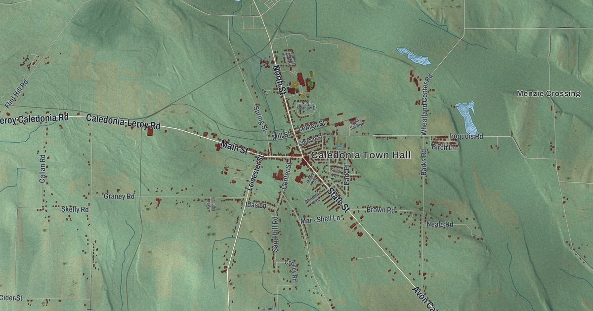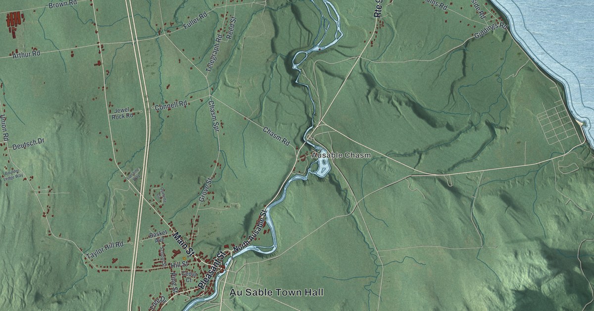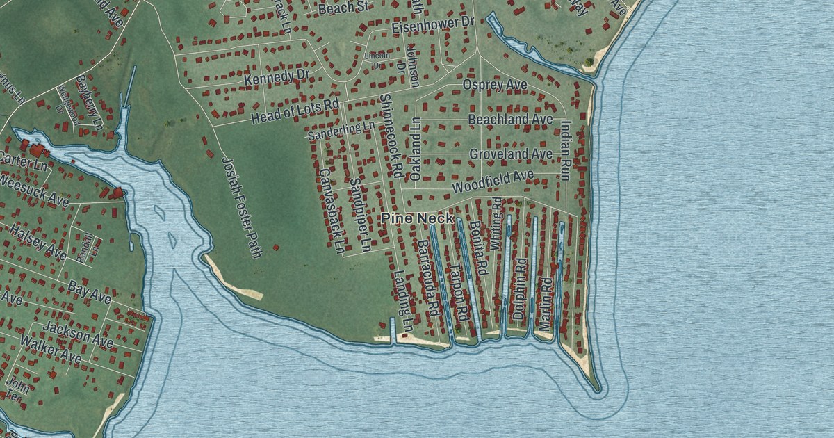
This beautifully detailed map of East Quogue, New York was created in 2026 using aerial imagery combined with modern topographical, census, street and landmark data. It’s a one-of-a-kind view of East Quogue that combines accurate data with a vintage aesthetic. The map shows every building in its true location, many of the roads carry their names, and the shaded topographic relief shows the shape of the land.
Explore an aerial view of East Quogue, New York
On the map you’ll find The Registry, Oakville, Pine Neck, and Quogue Wildlife Refuge, along with Quogue-Riverhead Road, Riverhead-Quogue Road, Gleason Drive, Pine Street, and more. If you look closely you can even find your house accurately drawn in its correct location. Zoom in on the preview to look for yours.
Take a closer look at the East Quogue map
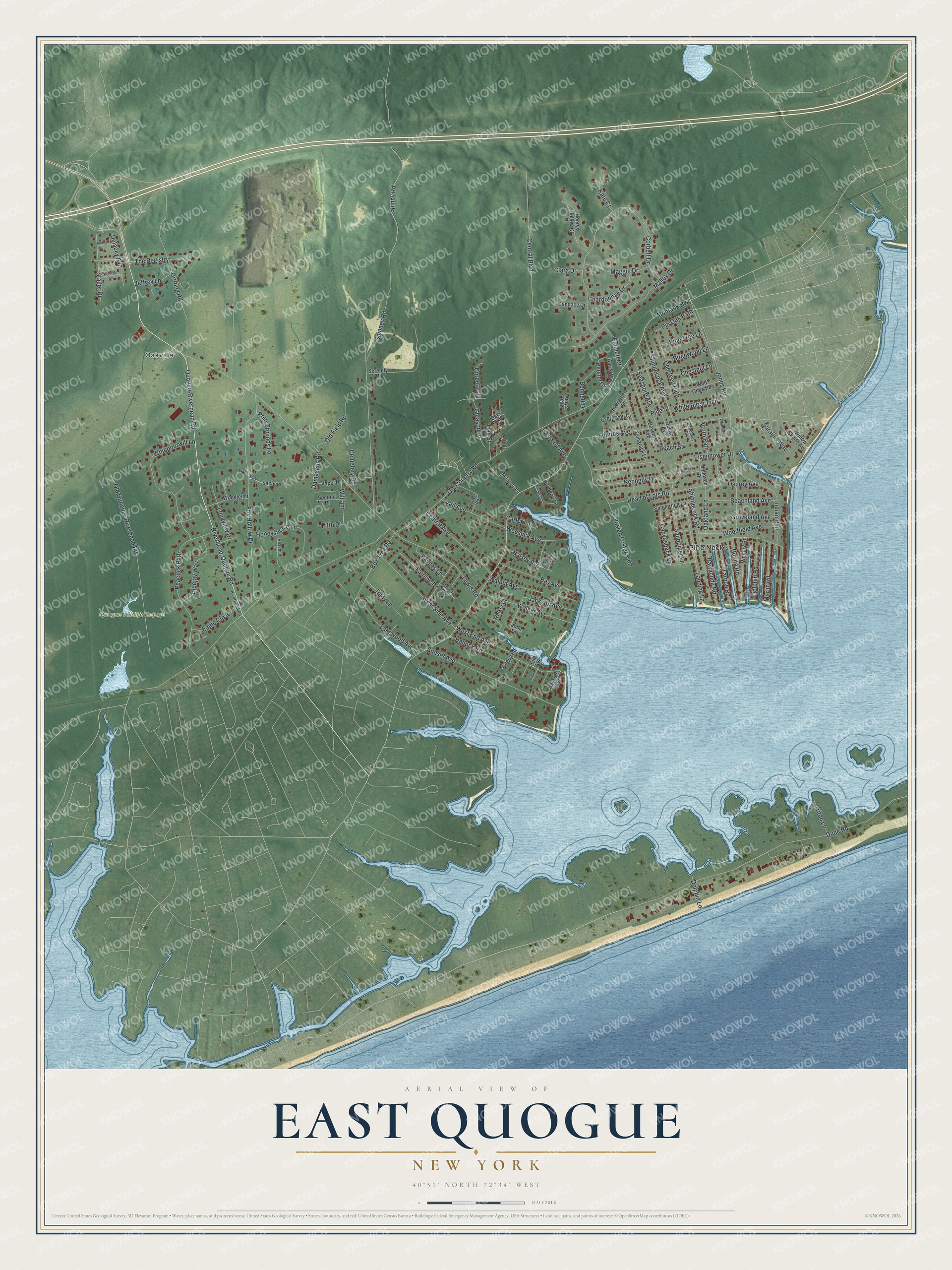
Names on this map
These names are printed on this map.
Places: Oakville, Quogue Wildlife Refuge and Pine Neck.
Streets and roads: Quogue-Riverhead Road, Riverhead-Quogue Road, Gleason Drive, The Registry, Pine Street, Jeffrey Lane, Fox Hollow Drive, Montauk Highway, Old Country Road, Lewis Road, Spinney Road, Dune Road.
More street names, A to Z
Acorn Path, Aerie Way, Amys Path, Barracuda Road, Bay Avenue, Bayberry Lane, Baycrest Avenue, Bayside Avenue, Beachland Avenue, Beach Street, Beechnut Court, Bennet Drive, Bennett Drive, Birchwood Lane, Bluejay Way, Bonita Road, Box Tree Road, Candace Drive, Canvasback Lane, Carter Lane, Carters Road, Cemetery Road, Central Avenue, Central Boulevard, Chardonnay Drive, Chestnut Lane, Clara Drive, Corbett Court, Corbett Drive, Damascus Road, Deerfeed Path, Deer Street, Delacey Avenue, Dolphin Lane, Dolphin Road, Eagle Close, East End Avenue, Eisenhower Drive, Elm Avenue, Emmett Drive, Evergreen Court, Evergreen Lane, Fairline Drive, Fifth Place, Fir Street, Grand Avenue, Griffing Road, Groveland Avenue, Hallock Road, Halsey Avenue, Head of Lots Road, Henrys Hollow Court, Honeysuckle Lane, Indian Run, Jackson Avenue, Johnson Drive, John Terrace, Jones Road, Josiah Foster Path, Kate Court, Kennedy Drive, Lakewood Avenue, Landing Lane, Lincoln Drive, Longview Drive, Maggie Drive, Magnus Lane, Malloy Drive, Marlin Road, Oakland Lane, Oak Street, Ocean Avenue, Old Field Road, Old Quogue - Riverhead Road, Old Riverhead Road, Osprey Avenue, Paynes Lane, Peacock Path, Pennant Lane, Pharohs Way, Pine Tree Lane, Pin Oak Path, Polo Grounds Lane, Rady Lane, Randall Lane, Rosebud Lane, Rugby Road, Sachem, Salem Lane, Sanderling Lane, Sandpiper Lane, Saralins Way, Seashore Avenue, Second Place, Serenity Place, Shinnecock Avenue, Shinnecock Road, Spinny Road, Squires Avenue, Staller Drive, Sunset Avenue, Tamarack Lane, Tarpon Road, Triton Lane, Vail Avenue, Vapel Place, Viking Lane, Walker Avenue, Walker Court, Walnut Avenue, Wedgewood Drive, Weesuck Avenue, West End Avenue, West Side Avenue, Whippoorwill Lane, White Birch Trail, Whitewood Court, Whiting Road, Wild Cherry Lane, William, Willow Shade Avenue, Woodfield Avenue, Woodleigh Place.
See it on a wall
The East Quogue map as a framed print. Swipe for more.


This beautifully detailed map of East Quogue makes an attractive addition to your office, library, or den, and it can even be used to teach children the geography and history of the area. It also makes a great gift for someone who left East Quogue and still calls it home. When you’re done exploring, click here to get your copy of the East Quogue map.