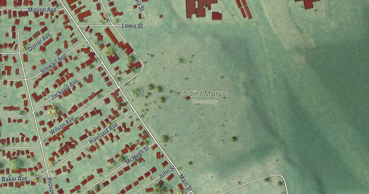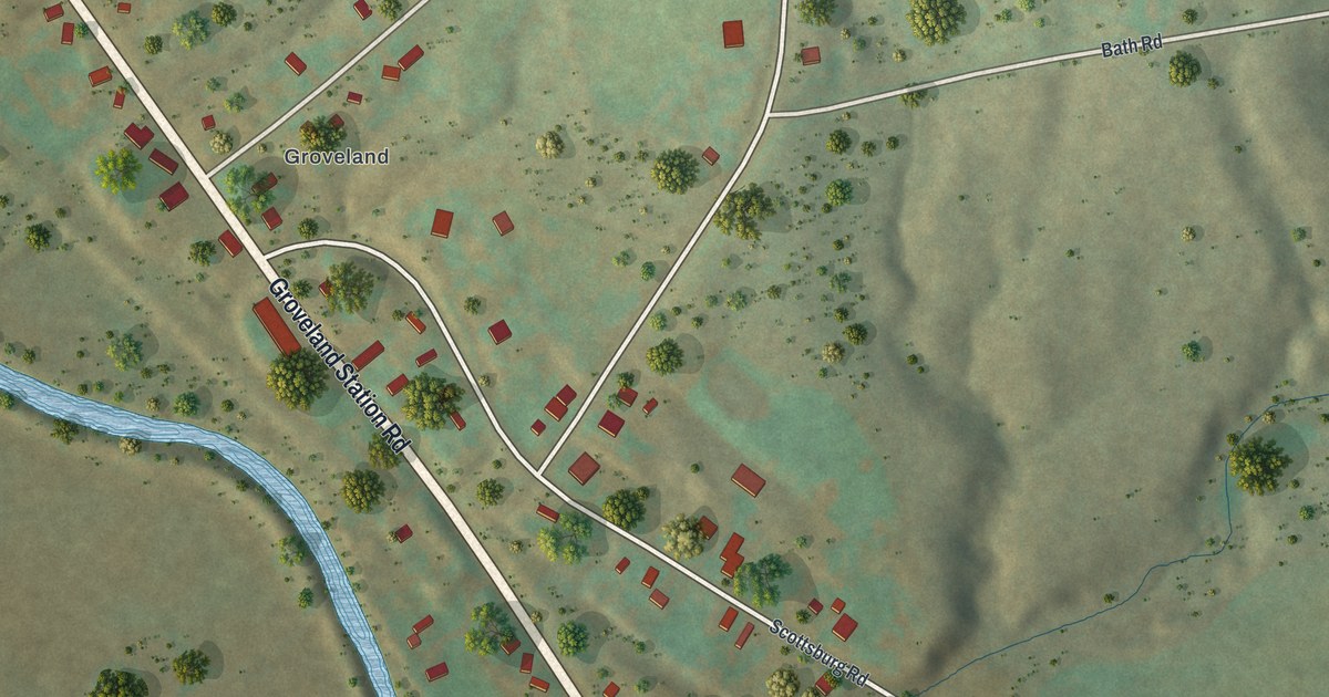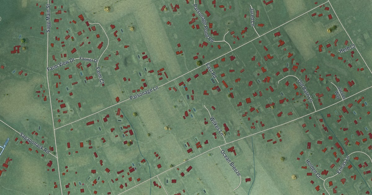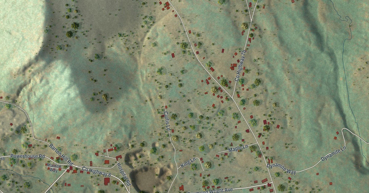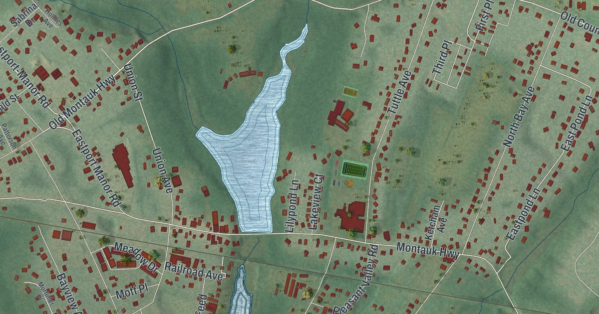
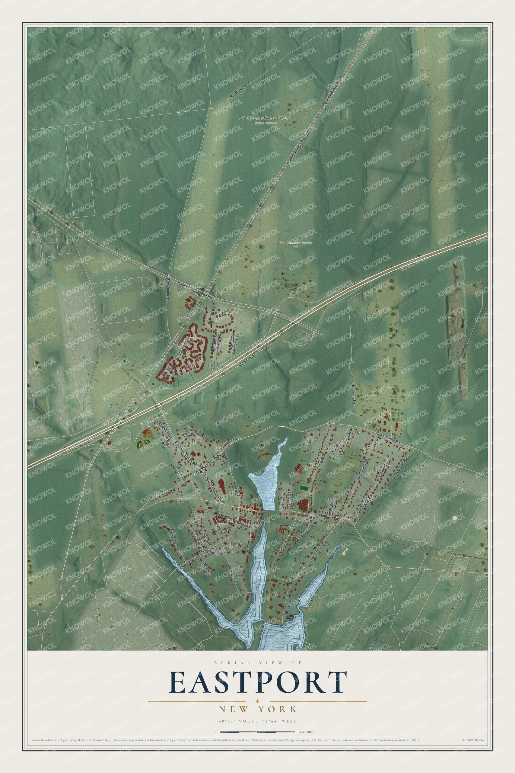
This beautifully detailed map of Eastport, New York was created in 2026 using aerial imagery combined with modern topographical, census, street and landmark data. It’s a one-of-a-kind view of Eastport that combines accurate data with a vintage aesthetic. The map shows every building in its true location, many of the roads carry their names, and the shaded topographic relief shows the shape of the land.
Explore an aerial view of Eastport, New York
On the map you’ll find Eastport Pine Barrens State Forest and Pine Meadow County Park, along with Old Montauk Highway, Eastport-Manor Road, Sunrise Highway, Old Country Road, Union Street, and more. If you look closely you can even find your house accurately drawn in its correct location. Zoom in on the preview to look for yours.
Did You Know?
The hamlet began in 1772, when two men built a dam that formed West Pond. Below it they put up a sawmill and a gristmill. Waterville grew east of the pond and Seatuck grew west. In 1860 postal officials joined the two. Seatuck sounded too much like Setauket, so the new name became Eastport.
Take a closer look at the Eastport map
Names on this map
These names are printed on this map.
Places: Eastport Pine Barrens State Forest and Pine Meadow County Park.
Streets and roads: Old Montauk Highway, Eastport-Manor Road, Sunrise Highway, Old Country Road, Union Street, Park Avenue, Moriches-Riverhead Road, Riverhead-Moriches Road, Third Place, Captain Daniel Roe Highway, Toppings Path, Montauk Highway.
More street names, A to Z
Bayview Avenue, Beacon Feed, Donald Street, Eastbrook Road, East Moriches Boulevard, East Pond Lane, Eastpond Lane, Eastport Manor Road, Encore Boulevard, First Place, Gershwin Road, Halsey Street, Hamptons Court Drive, Hamptons Court Drive East, Hamptons Court Drive West, Holmes Avenue, Hot Water Street, Ketcham Avenue, Lakeview Court, Lilypond Lane, Meadow Drive, Mortimer Place, Mott Place, Mozart Court, North Bay Avenue, Northway Lane, Old Manor Road, Patterson Avenue, Pepperidge Lake Road, Pleasant Valley Road, Railroad Avenue, River Avenue, Sabrina Drive, Seatuck Avenue, Seatuck Cove Circle, Seatuck Cove Court, Sonata Court, South Bay Avenue, Stargazer Drive, Tempo Place, Tuttle Avenue, Union Avenue.
See it on a wall
The Eastport map as a framed print. Swipe for more.


This beautifully detailed map of Eastport makes an attractive addition to your office, library, or den, and it can even be used to teach children the geography and history of the area. It also makes a great gift for someone who left Eastport and still calls it home. When you’re done exploring, click here to get your copy of the Eastport map.