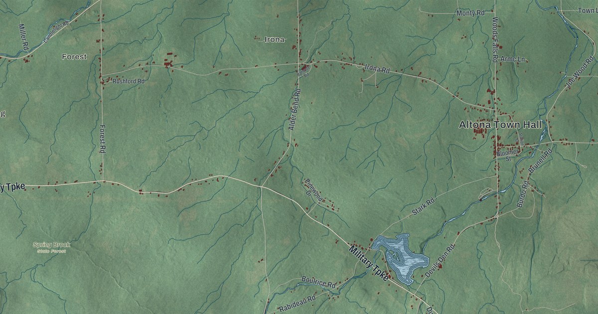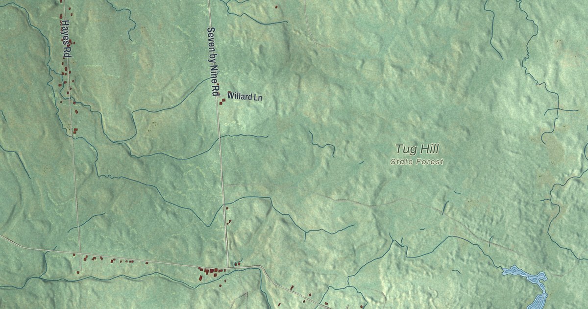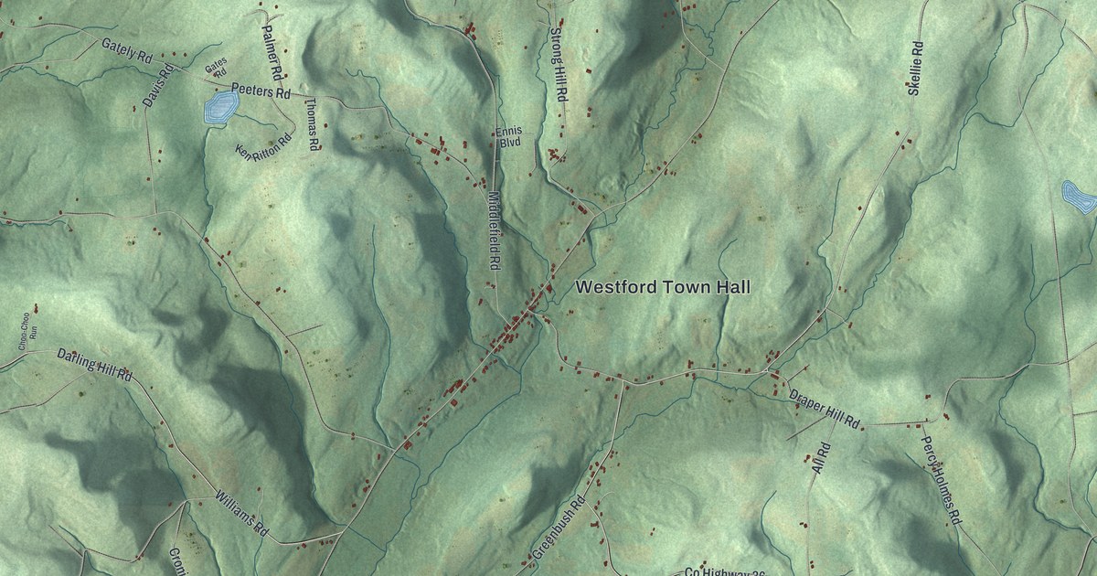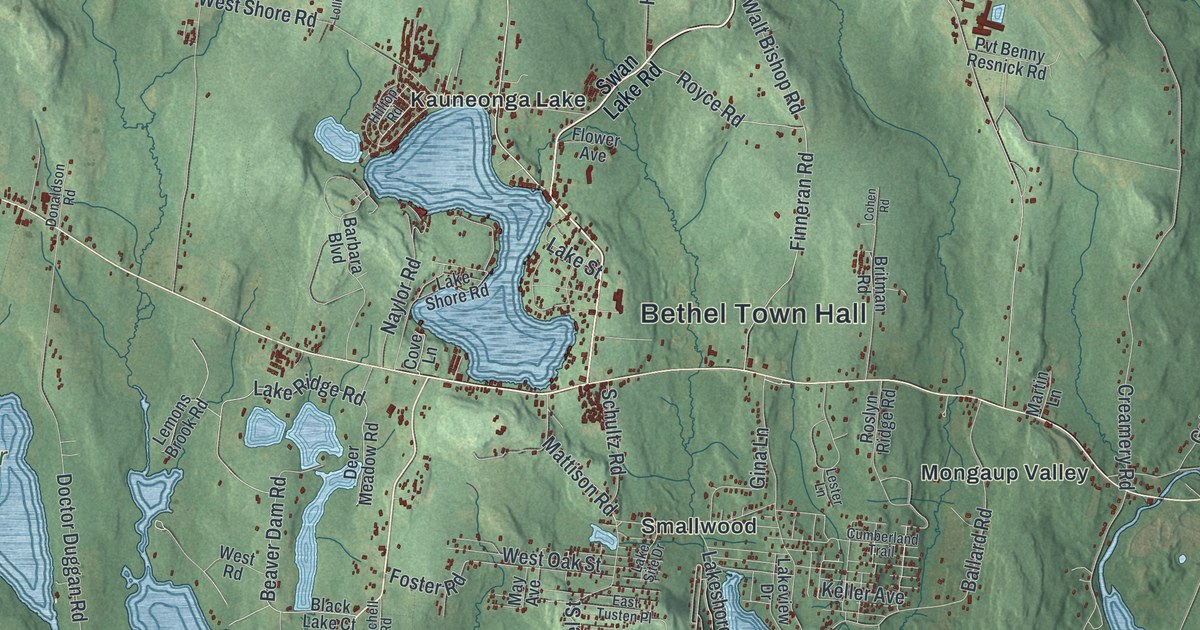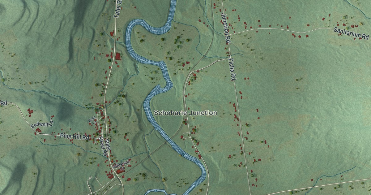
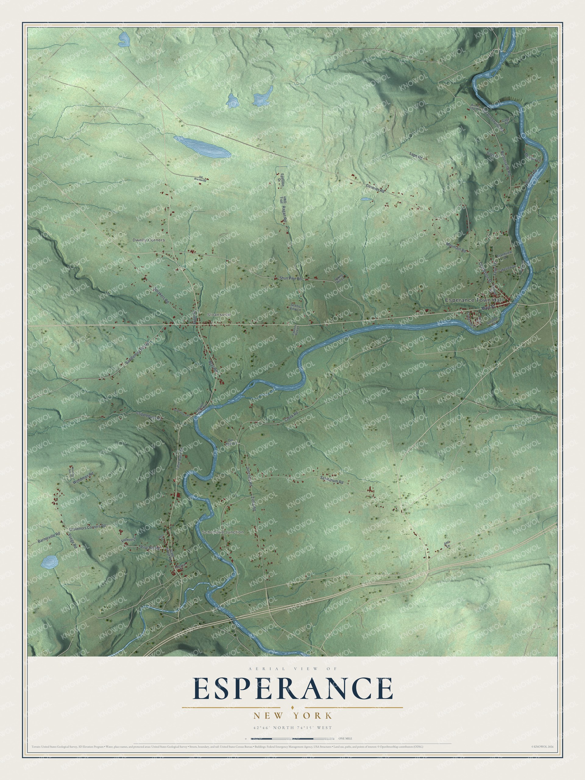
This beautifully detailed map of Esperance, New York was created in 2026 using aerial imagery combined with modern topographical, census, street and landmark data. It’s a one-of-a-kind view of Esperance that combines accurate data with a vintage aesthetic. The map shows every building in its true location, many of the roads carry their names, and the shaded topographic relief shows the shape of the land.
Explore an aerial view of Esperance, New York
On the map you’ll find Esperance Town Hall, Schoharie Junction, Dwelly Corners, and Sloansville, along with Main Street, Sanitarium Road, Voege Road, Pine Hill Road, and more. If you look closely you can even find your house accurately drawn in its correct location. Zoom in on the preview to look for yours.
Did You Know?
In 1806 General William North began developing Esperance along the newly opened Great Western Turnpike. He renamed the earlier settlement, which had been called State Bridge. Its stone Presbyterian church went up in 1824 and was remodeled in 1897. That’s from the 1940 WPA guide to New York.
Take a closer look at the Esperance map
Names on this map
These names are printed on this map.
Places: Esperance Town Hall, Schoharie Junction, Dwelly Corners and Sloansville.
Streets and roads: Sanitarium Road, Voege Road, Pine Hill Road, Shun Pike Road, Junction Road, Conover Road, Burtonsville Road, Grovenors Corners Road, Ragan Road, Cripplebush Road, Creek Road, Saddlemire Hill Road.
More street names, A to Z
Barnerville Road, Brandywine Lane, Bray Road, Briggs Road, Captains Walk Lane, Charleston Street, Church Street, Creekside Lane, Der Mais Lane, Egelston Drive, Endwell Lane, Feuz Terrace, Gage Road, Grandview Drive, Industrial Drive, Jimi Lane, Lakeview Drive, Lape Road, Locust Point Road, Main Street, Memory Lane, Miller Lane, Mountain Road, Old Brandon Road, Old Burtonville Road, Priddle Road, Ridge Lane, Rivers Edge Road, Rose Lane, Scenic View Lane, Sprakers Road, Spring Hill Lane, State Street Road, Steuben Street, Tater Barn Road, Vanderwerken Road, Woodman Road, Woodman Spur Road, Zicha Road.
See it on a wall
The Esperance map as a framed print. Swipe for more.


This beautifully detailed map of Esperance makes an attractive addition to your office, library, or den, and it can even be used to teach children the geography and history of the area. It also makes a great gift for anyone with Esperance roots. When you’re done exploring, click here to get your copy of the Esperance map.