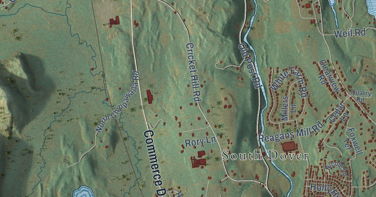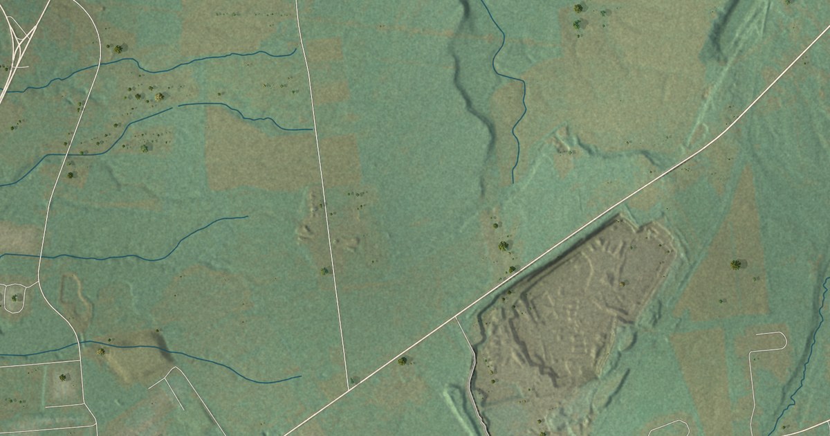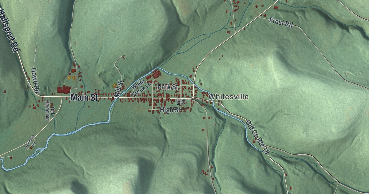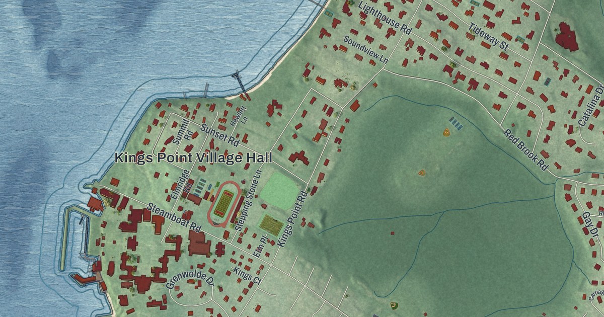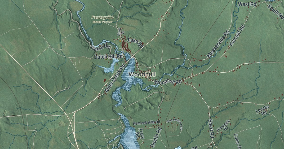
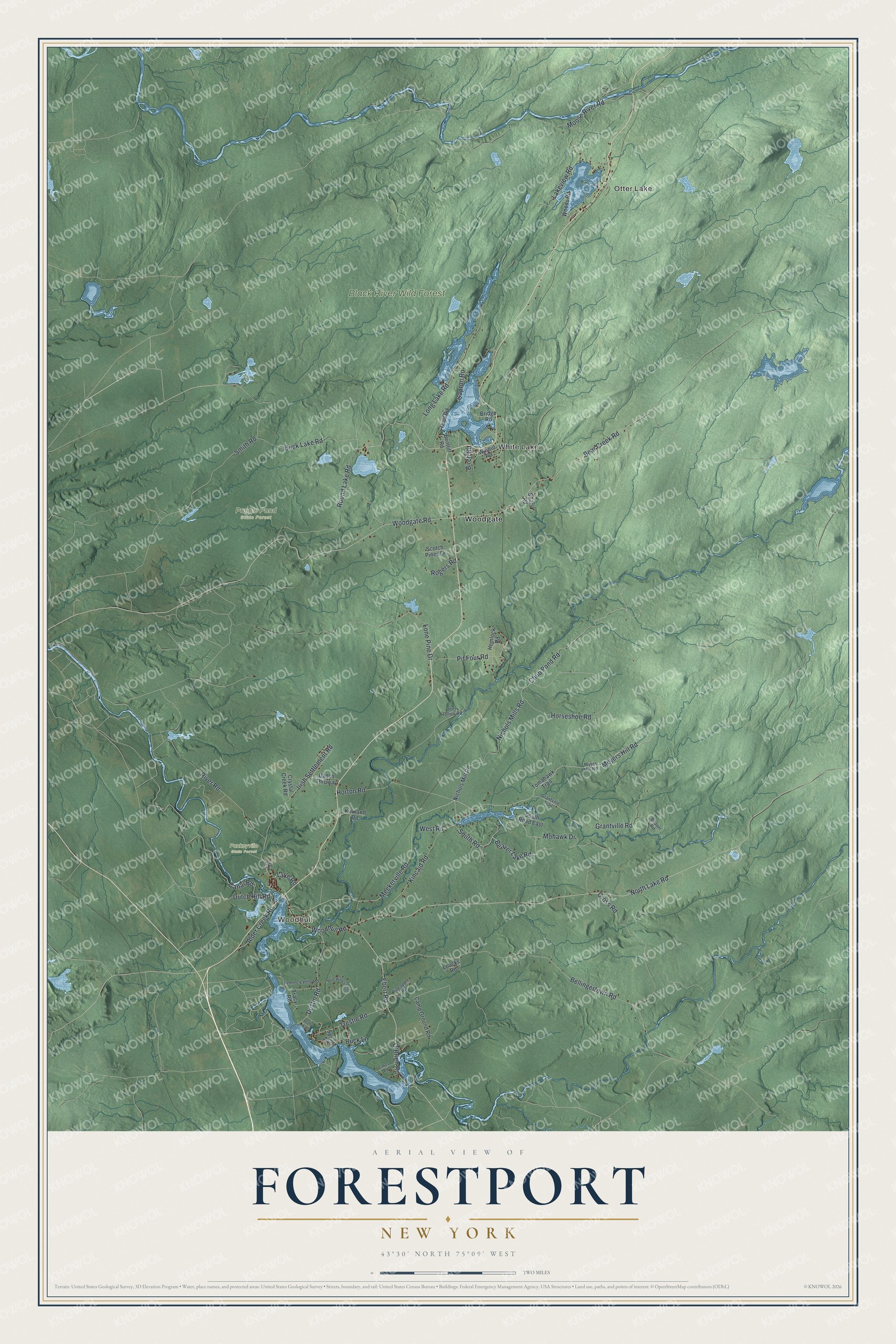
This beautifully detailed map of Forestport, New York was created in 2026 using aerial imagery combined with modern topographical, census, street and landmark data. It’s a one-of-a-kind view of Forestport that combines accurate data with a vintage aesthetic. The map shows every building in its true location, many of the roads carry their names, and the shaded topographic relief shows the shape of the land.
Explore an aerial view of Forestport, New York
On the map you’ll find Otter Lake, Woodhull, White Lake, Woodgate, Black River Wild Forest, Popple Pond State Forest, and Punkeyville State Forest, along with Meekerville Road, Meyers Hill Road, Woodhull Road, Ebert Road, Woodgate Road, and more. If you look closely you can even find your house accurately drawn in its correct location. Zoom in on the preview to look for yours.
Did You Know?
Forestport became a town in 1869, when it split from Remsen. Near the end of the 1800s, many residents joined a scheme to cut breaks in the Black River Canal with pickaxes. They hoped to profit from the repair work. The plot was found out, and the damage became known as the Forestport Breaks.
Take a closer look at the Forestport map
Names on this map
These names are printed on this map.
Places: Otter Lake, Woodhull, White Lake, Black River Wild Forest, Popple Pond State Forest, Punkeyville State Forest and Woodgate.
Streets and roads: Meekerville Road, Meyers Hill Road, Woodhull Road, Ebert Road, Woodgate Road, Bear Creek Road, Beaver Lake Road, North Lake Road, South Road, Canal Road, Moose River Road, Trestle Road.
More street names, A to Z
Alder Creek Road, Beaver Road, Bellingertown Road, Bentliff Road, Birch Road, Blue Waters Ests, Bridge Road, Buck Lake Road, Buck Lane, Camp Ground Road, Capron Road, Chub Pond Road, Cross Road, Crystal Creek Road, Dades Thruway, Deer Hollow Road, Dustin Road, Dutch Hill Road, Grantville Road, Grantville Trail, Hemlock Hills Road, Hemlock Road, Horseshoe Road, Horton Road, Hunt Road, Irish Settlement Road, Kincaid Road, Kirkland Road, Lake Road, Lakes Road, Lakeview Road, Lone Pine Drive, Long Lake Road, Loucks Road, Mohawk Drive, Myers Hill Road, Nichols Mill Road, Nichols Mills Road, O'Brien Road, Pineapple Road, Pit Four Road, Pratt Avenue, River Road, River Street, Rogers Road, Round Lake Road, Scotch Pines Drive, Sears Road, Smith Road, South Road East, Spring Street, Tomahawk Trail, Tracy Road, Walnut Road, West Road, Woods Road.
See it on a wall
The Forestport map as a framed print. Swipe for more.


This beautifully detailed map of Forestport makes an attractive addition to your office, library, or den, and it can even be used to teach children the geography and history of the area. It also makes a great gift for anyone with Forestport roots. When you’re done exploring, click here to get your copy of the Forestport map.