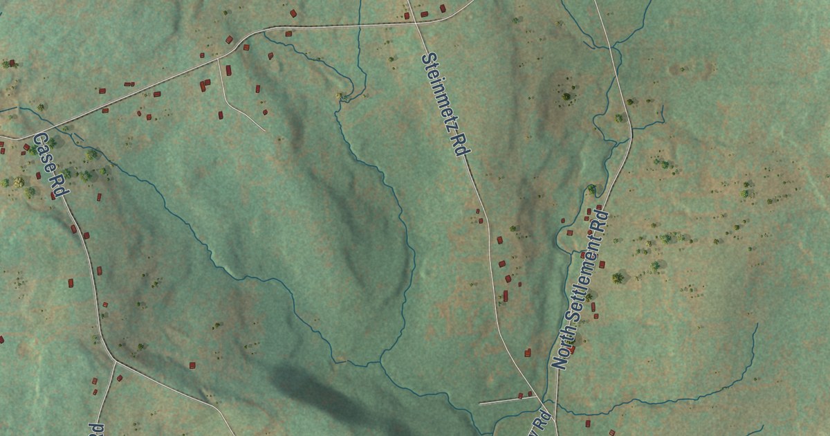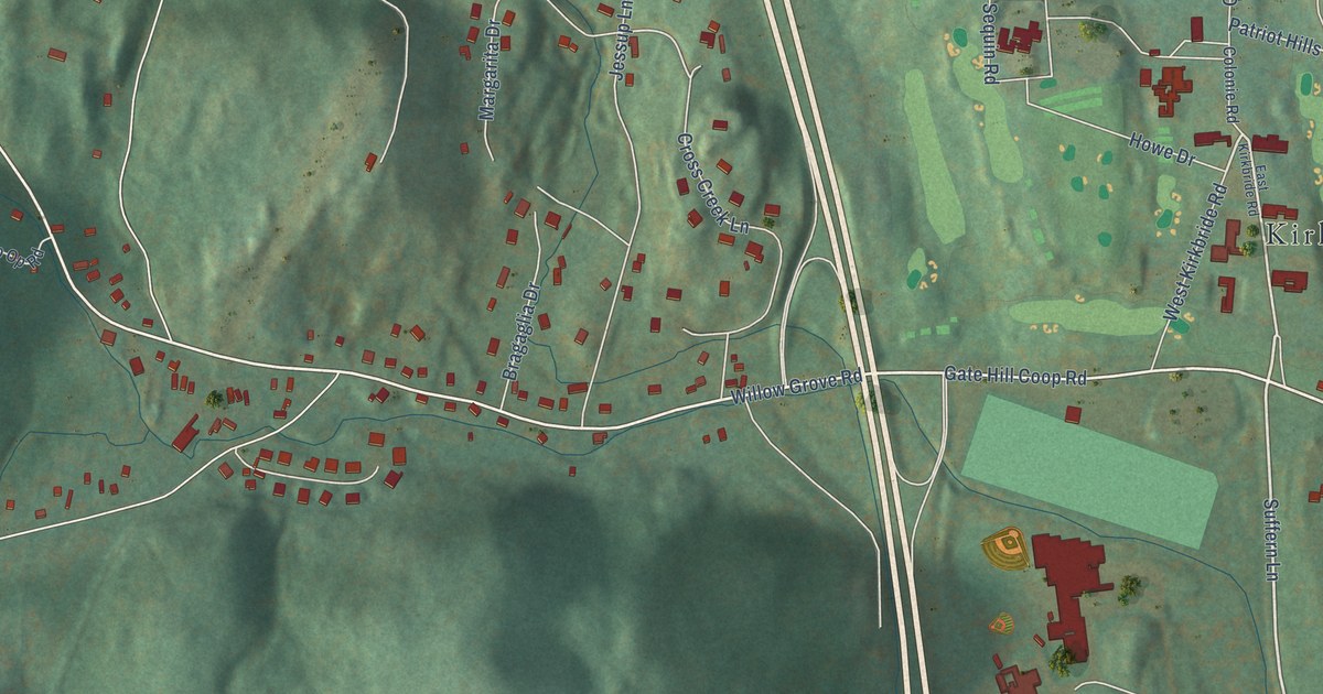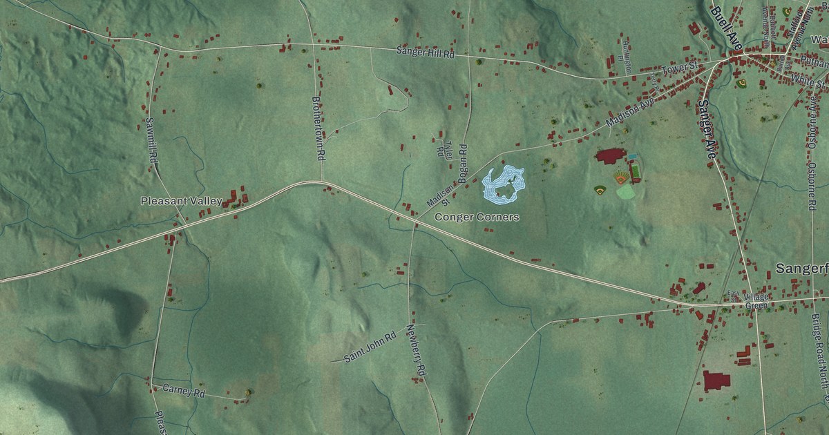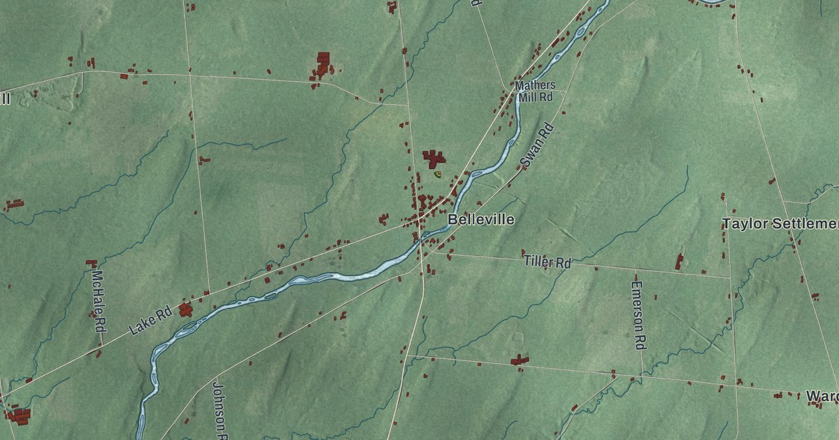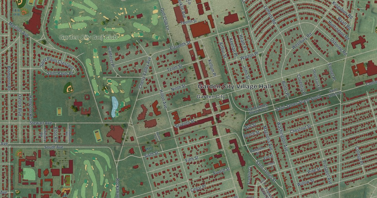
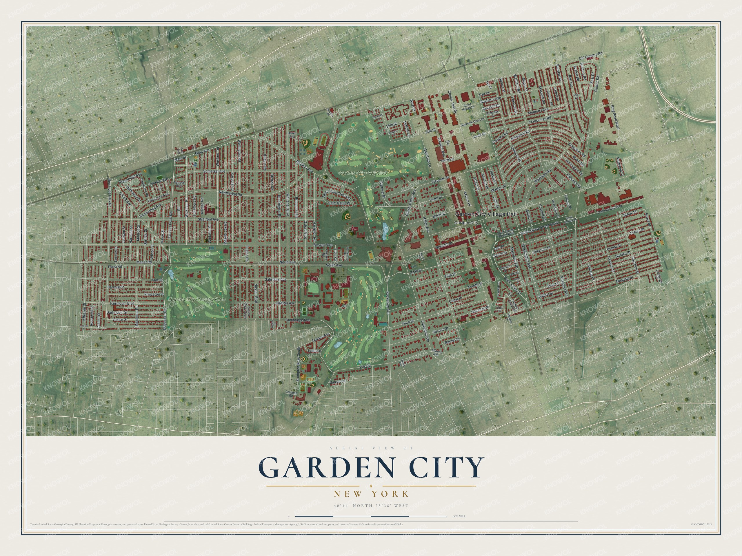
This beautifully detailed map of Garden City, New York was created in 2026 using aerial imagery combined with modern topographical, census, street and landmark data. It’s a one-of-a-kind view of Garden City that combines accurate data with a vintage aesthetic. The map shows every building in its true location, many of the roads carry their names, and the shaded topographic relief shows the shape of the land.
Explore an aerial view of Garden City, New York
On the map you’ll find Garden City Village Hall, along with Cambridge Avenue, Ring Road, Edgemere Road, Tanners Pond Road, and more. If you look closely you can even find your house accurately drawn in its correct location. Zoom in on the preview to look for yours.
Did You Know?
In 1869 Alexander Turney Stewart, a millionaire born in Ireland, bought part of the thinly settled Hempstead Plains. He planned Garden City around a grand hotel. To bring people in, he also built the Central Railroad of Long Island, which opened in 1873.
Take a closer look at the Garden City map
Names on this map
These names are printed on this map.
Places: Garden City Village Hall, Garden City, Garden City Country Club, Garden City Golf Club and Terrace Park.
Streets and roads: Cambridge Avenue, Ring Road West, Edgemere Road, Tanners Pond Road, Sixth Street, Saint James Street, Greenridge Avenue, Stewart Avenue, Old Country Road, Rockaway Avenue, Clinton Road, Franklin Avenue.
More street names, A to Z
13th Street, 14th Street, 15th Street, Adams Street, Amherst Street, Andover Court, Arthur Street, Ash Street, Atlantic Avenue, Avalon Road, Barnes Lane, Bayberry Avenue, Bedell Avenue, Beech Street, Bluebell Court, Boylston Street, Brixton Road, Brompton Road, Brompton Road South, Brook Street, Butler Place, Carteret Place, Cathedral Avenue, Cedar Place, Chelsea Road, Cherry Valley Avenue, Chester Avenue, Chestnut Street, Claydon Road, Clinch Avenue, College Place, Colonial Avenue, Commercial Avenue, County Seat Drive, Court House Drive, Coventry Place, Croyden Road, Damson Street, Dartmouth Street, Devereaux Place, Dover Avenue, East Drive, Eleventh Street, Elm Street, Emmet Place, Eton Road, Euston Road, Euston Road South, Fair Court, Fairmount Boulevard, Fenimore Avenue, Fifth Street, Filbert Street, First Avenue, First Place, First Street, Fourth Street, Franklin Court, Franklin Court East, Garden Street, Garfield Street, Glen Road, Golf Club Lane, Grove Street, Hamilton Place, Hampton Road, Harrison Street, Harvard Street, Hathaway Drive, Hawthorne Road, Hayes Street, Heath Place, Herricks Road, Hilton Avenue, Homestead Avenue, Huntington Road, Huubbll Plaza, Iris Lane, Ivy Court, Jackson Street, Jefferson Street, John Street, Keenan Place, Kellum Place, Kensington Road, Kenwood Road, Kilburn Road, Kildare Road, Kingsbury Road, Laurel Street, Lee Road, Lefferts Road, Lincoln Street, Lindbergh Street, Linden Street, Locust Street, Lydia Lane, Magnolia Avenue, Main Avenue, Main Street, Manor Road, Maple Street, Maxwell Road, Meadbrook Road, Meadow Place, Meadow Street, Merillon Avenue, Middleton Road, Monroe Street, Mulberry Avenue, Nassau Boulevard, New Hyde Park Road, Newmarket Road, Ninth Street, North Avenue, Osborne Road, Oxford Boulevard, Pell Terrace, Pine Street, Plaza Road, Poplar Street, Prescott Street, Primrose Court, Princeton Street, Prospect Avenue, Raymond Court, Roderick Lane, Roosevelt Street, Roxbury Road, Russell Road, Sackville Road, Saint James Street North, Saint James Street South, Saint Pauls Crescent, Saint Pauls Place, Salisbury Avenue, Seabury Road, Second Street, Seventh Street, Sixth Place, Somerset Avenue, South Avenue, South Drive, Spruce Street, Stratford Avenue, Suffolk Lane, Sunset Lane, Supreme Court Drive, Tenth Street, Terrace Avenue, Third Avenue, Third Street, Transverse Road, Tremont Street, Tullamore Road, Twelfth Street, Vassar Street, Warton Place, Washington Avenue, Wellington Road, Westbury Road, Westminster Road, West Street, Wetherill Road, Weyford Terrace, Whitehall Boulevard, Wickham Road, Willow Street, Wilson Street, Wyatt Road, Wydler Court, Yale Street.
See it on a wall
The Garden City map as a framed print. Swipe for more.


This beautifully detailed map of Garden City makes an attractive addition to your office, library, or den, and it can even be used to teach children the geography and history of the area. It also makes a great gift for anyone who grew up in Garden City or moved away. When you’re done exploring, click here to get your copy of the Garden City map.