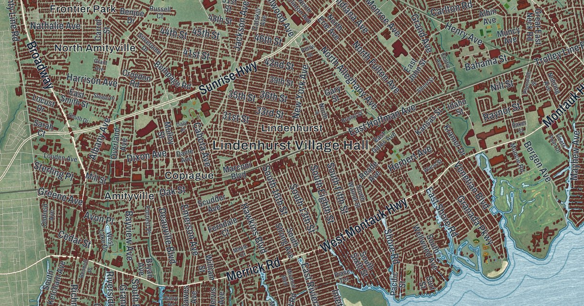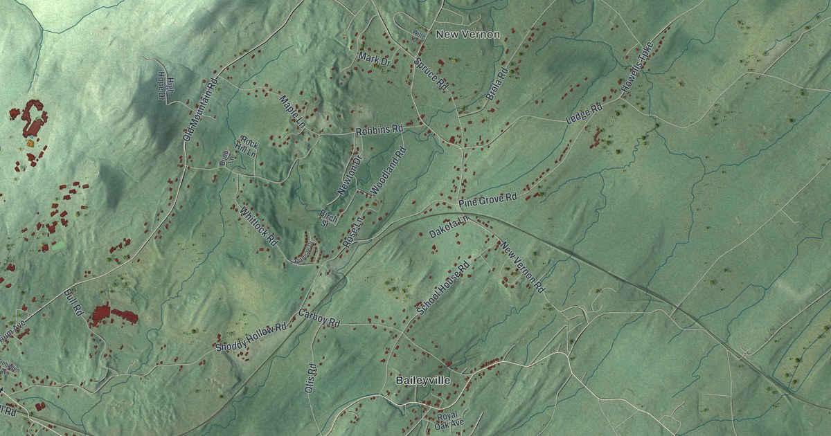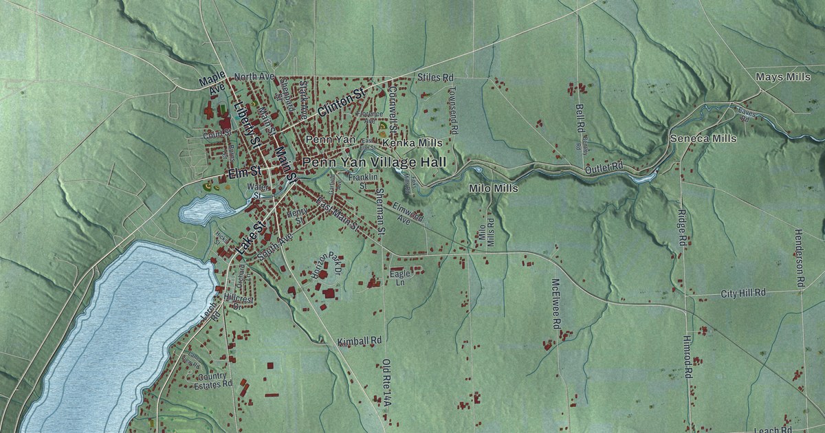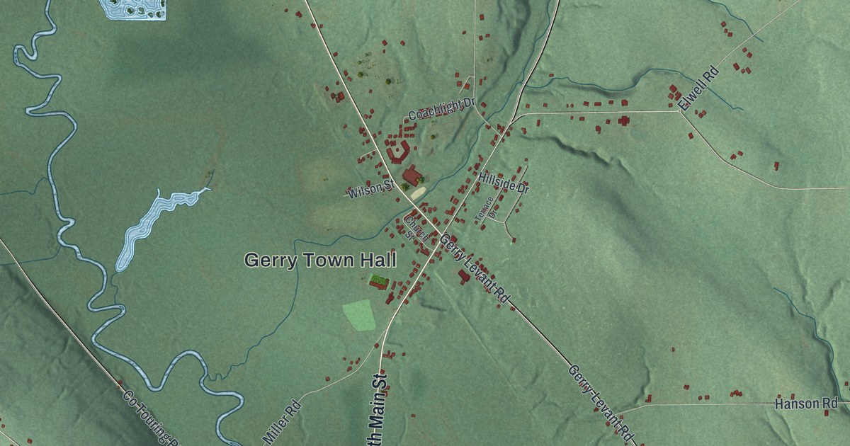
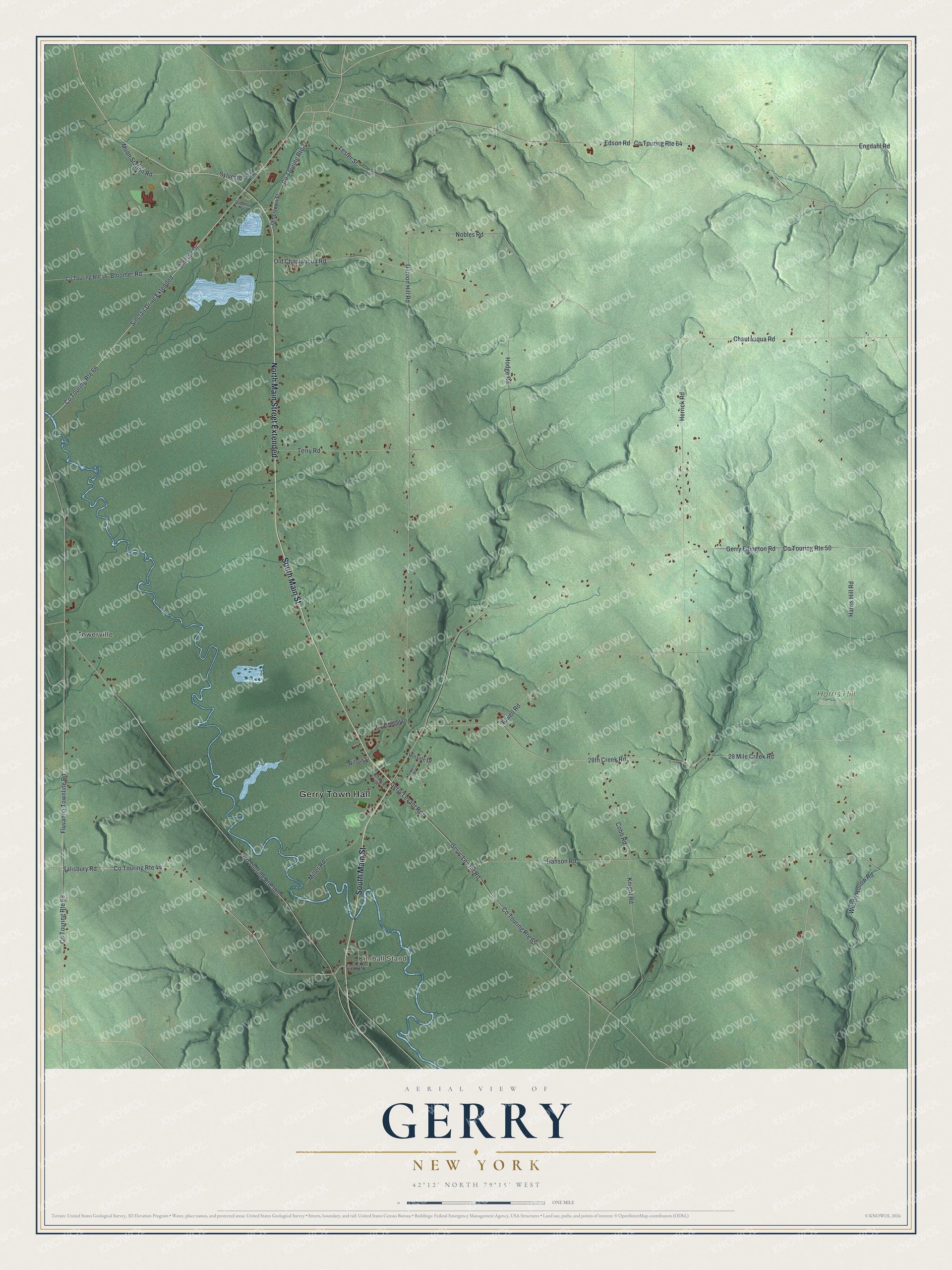
This beautifully detailed map of Gerry, New York was created in 2026 using aerial imagery combined with modern topographical, census, street and landmark data. It’s a one-of-a-kind view of Gerry that combines accurate data with a vintage aesthetic. The map shows every building in its true location, many of the roads carry their names, and the shaded topographic relief shows the shape of the land.
Explore an aerial view of Gerry, New York
On the map you’ll find Gerry Town Hall, North Main Street Extended, Sinclair Drive Extended, Kimball Stand, Towerville, and Harris Hill State Forest, along with Main Street, Sinclair Drive, and more. If you look closely you can even find your house accurately drawn in its correct location. Zoom in on the preview to look for yours.
Did You Know?
Gerry honors Elbridge Gerry, who served as the nation’s fifth Vice President. Surveyor Amos Atkins began the settlement about 1810 with a log cabin. The town split off from Pomfret on June 1, 1812. Since 1945 Gerry has held a rodeo every summer.
Take a closer look at the Gerry map
Names on this map
These names are printed on this map.
Places: Gerry Town Hall, Kimball Stand, Harris Hill State Forest and Towerville.
Streets and roads: North Main Street Extended, South Main Street, Sinclair Drive, Sinclair Drive Extended, Co Touring Route 66, Chautauqua Road, Old Chautauqua Road, Bloomer Road, Co Touring Route 77, Edson Road, Co Touring Route 44, Harris Hill Road.
More street names, A to Z
28 Mile Creek Road, 28th Creek Road, Bloomer Street, Church Street, Coachlight Drive, Cobb Road, Co Touring Route 50, Co Touring Route 56, Co Touring Route 59, Co Touring Route 64, Co Touring Route 65, Co Touring Route 380, Damon Hill Road, Elwell Road, Engdahl Road, Fluvanna Townline Road, Gerry-Levant Road, Gerry Ellington Road, Gerry Levant Road, Hanson Road, Herrick Road, Hillside Drive, Hodge Road, Jamestown Street, Kimball Drive, Knight Road, Lester Street, Miller Road, Moon Station Road, Nobles Road, Salisbury Road, Sylvester Road, Terrace Drive, Terry Road, Wilson Hollow Road, Wilson Street.
See it on a wall
The Gerry map as a framed print. Swipe for more.


This beautifully detailed map of Gerry makes an attractive addition to your office, library, or den, and it can even be used to teach children the geography and history of the area. It also makes a great gift for anyone with Gerry roots. When you’re done exploring, click here to get your copy of the Gerry map.